Download to read offline
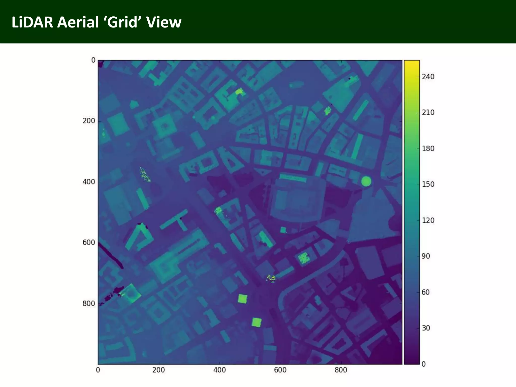
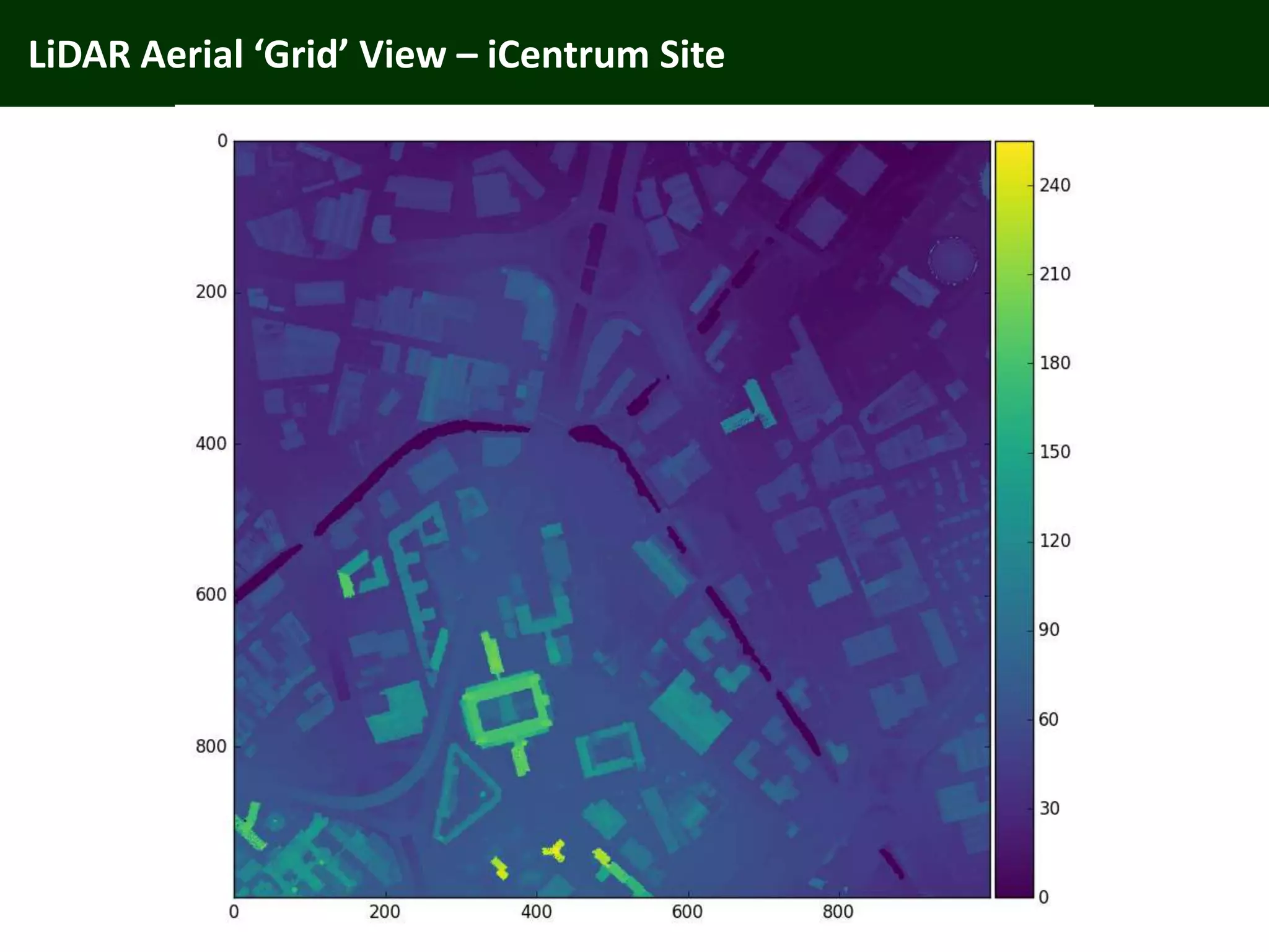
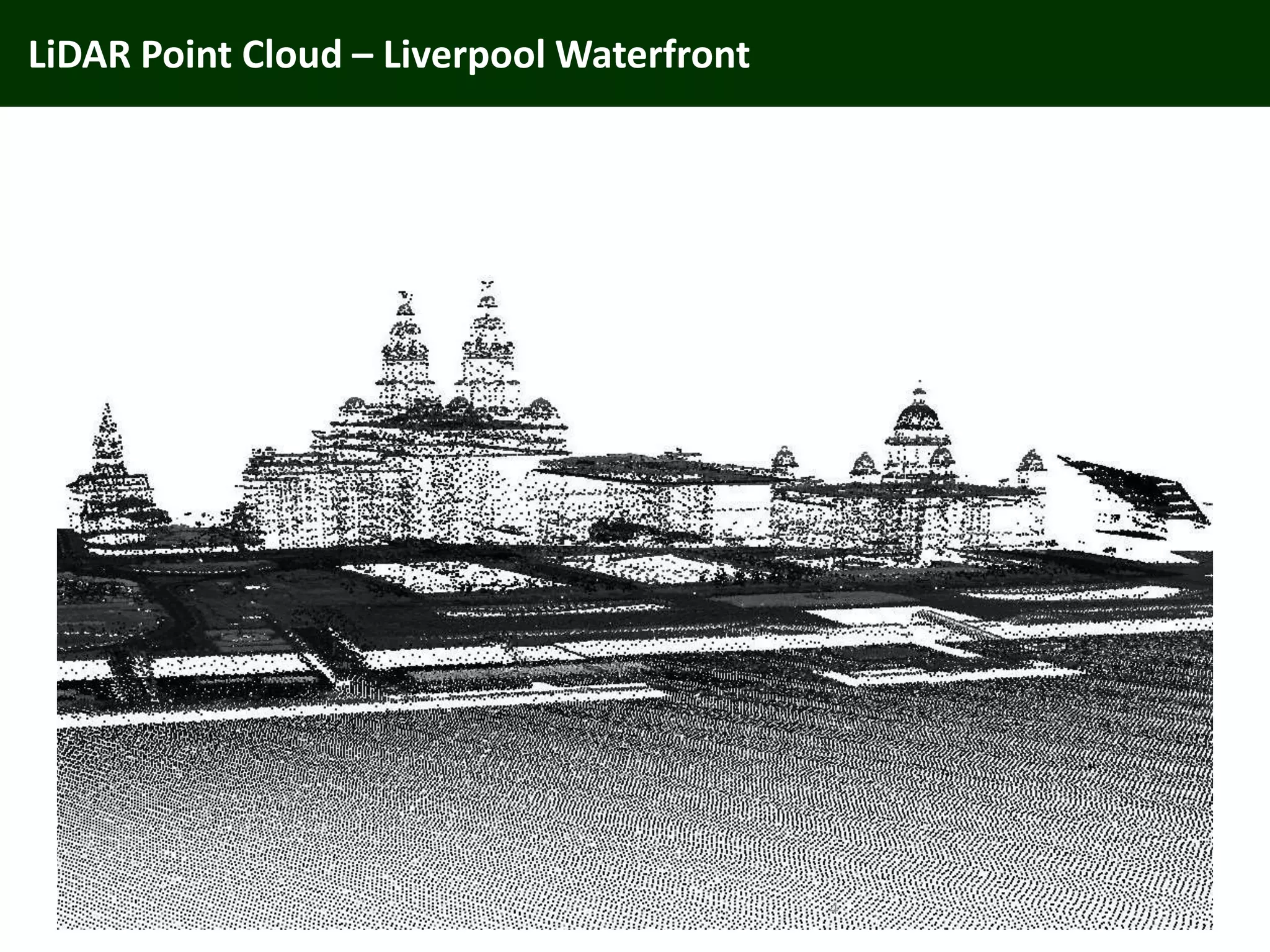
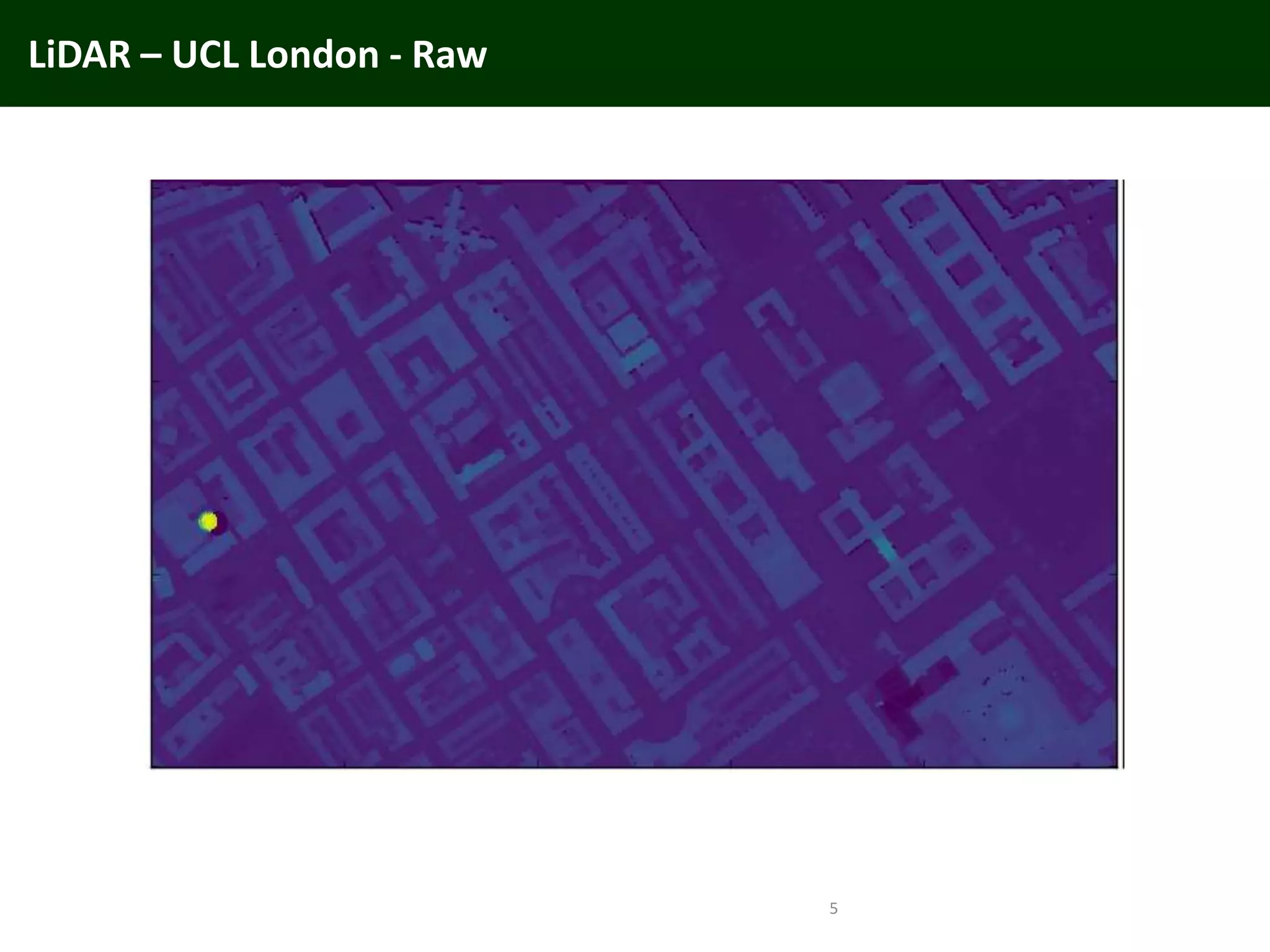
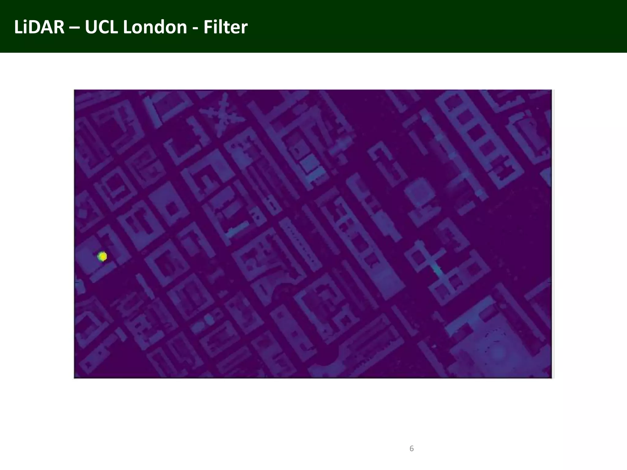
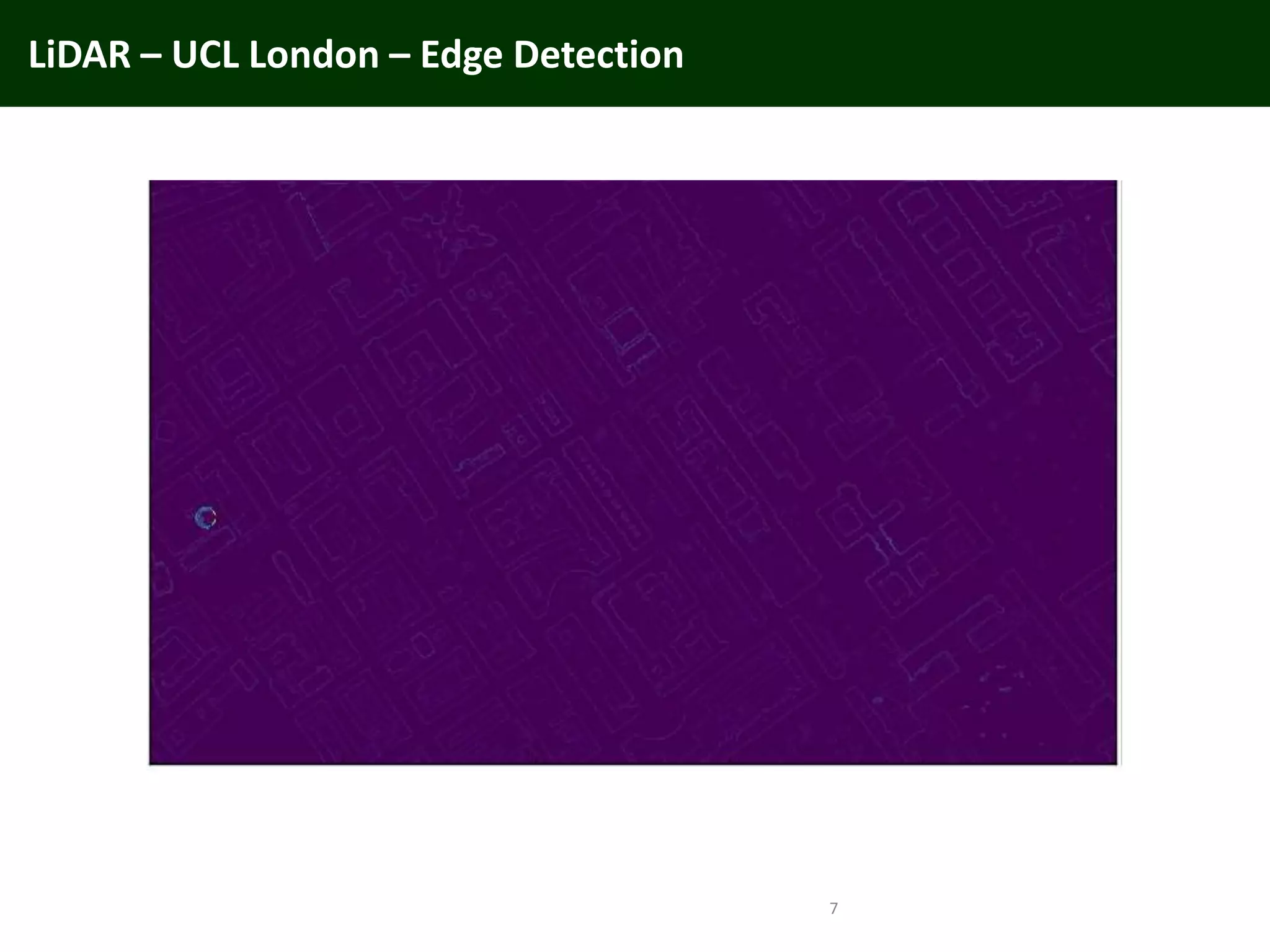
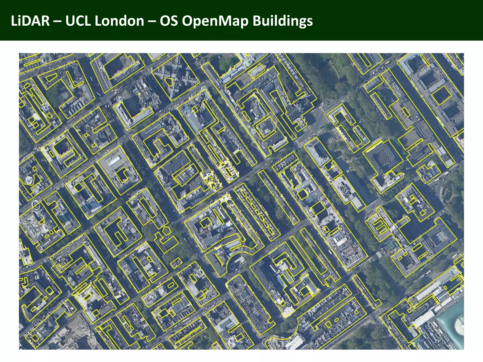
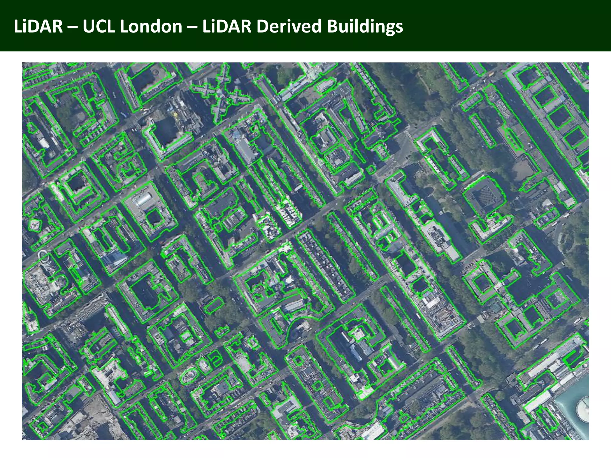
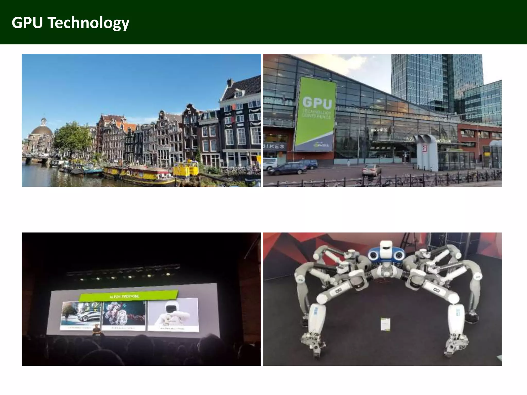
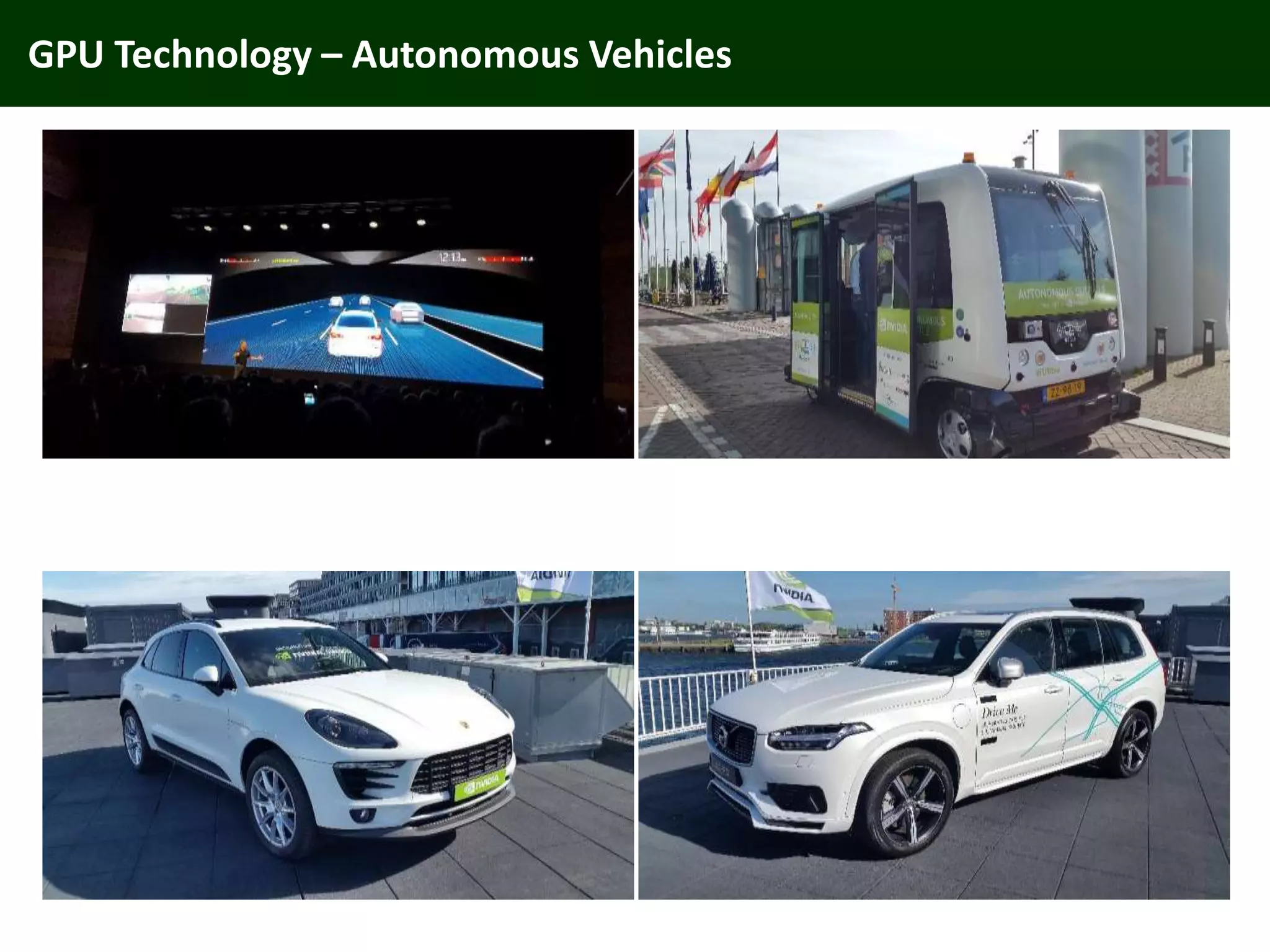

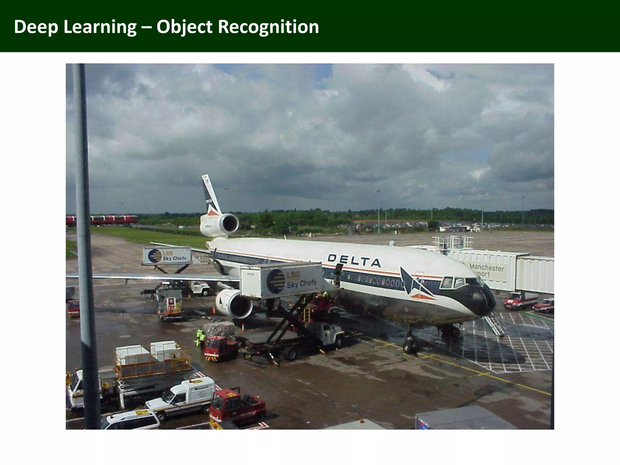
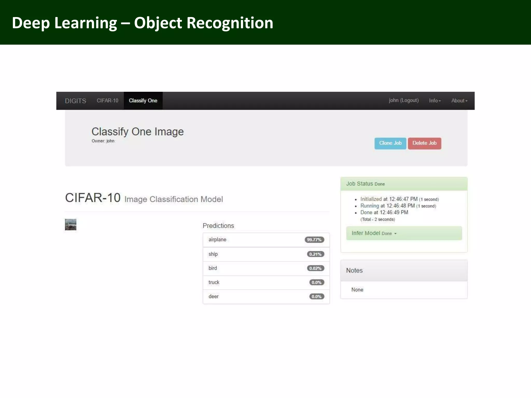
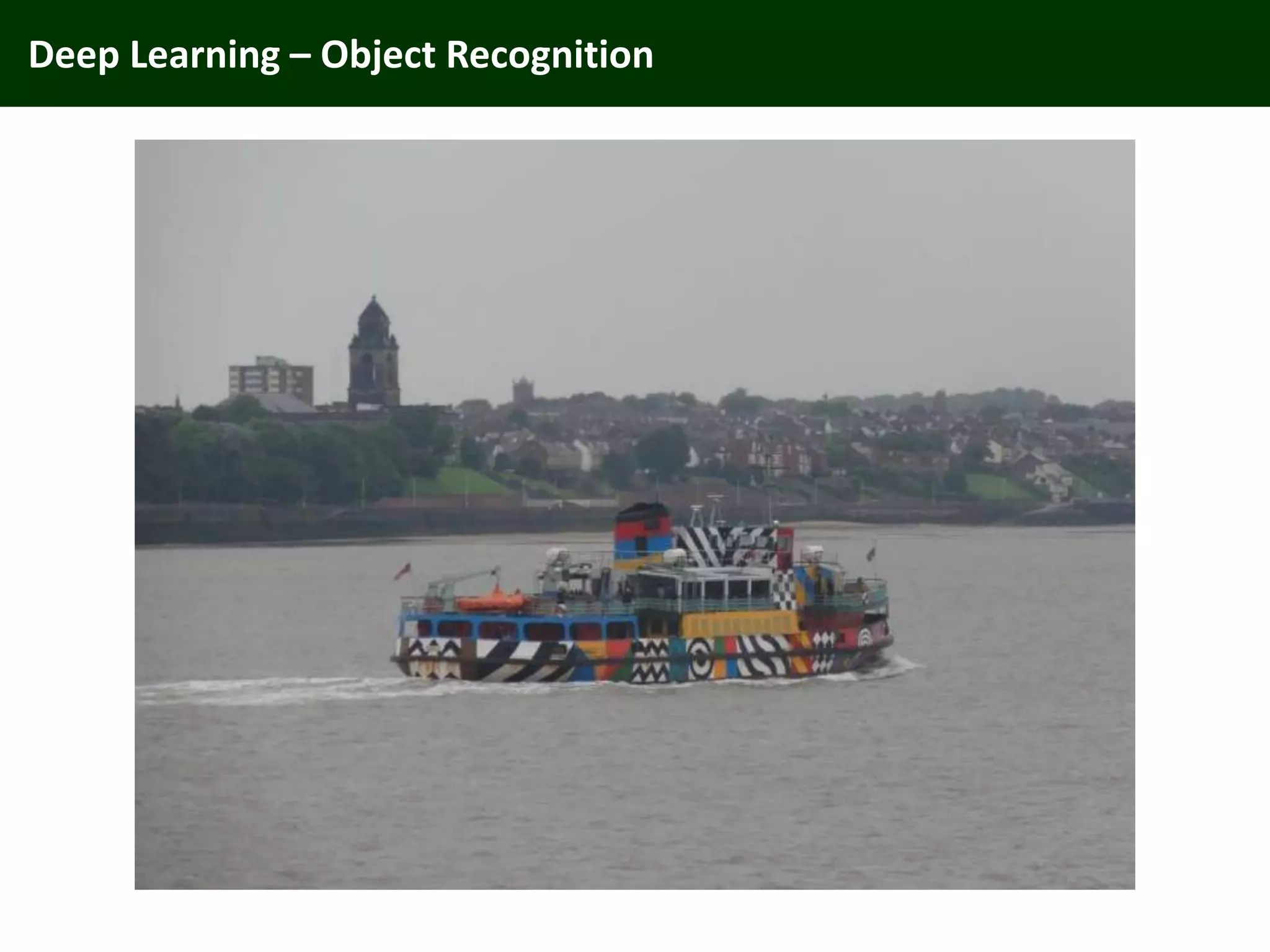
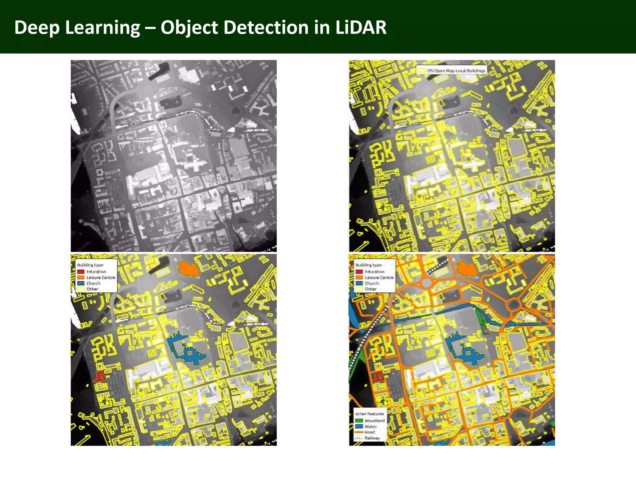
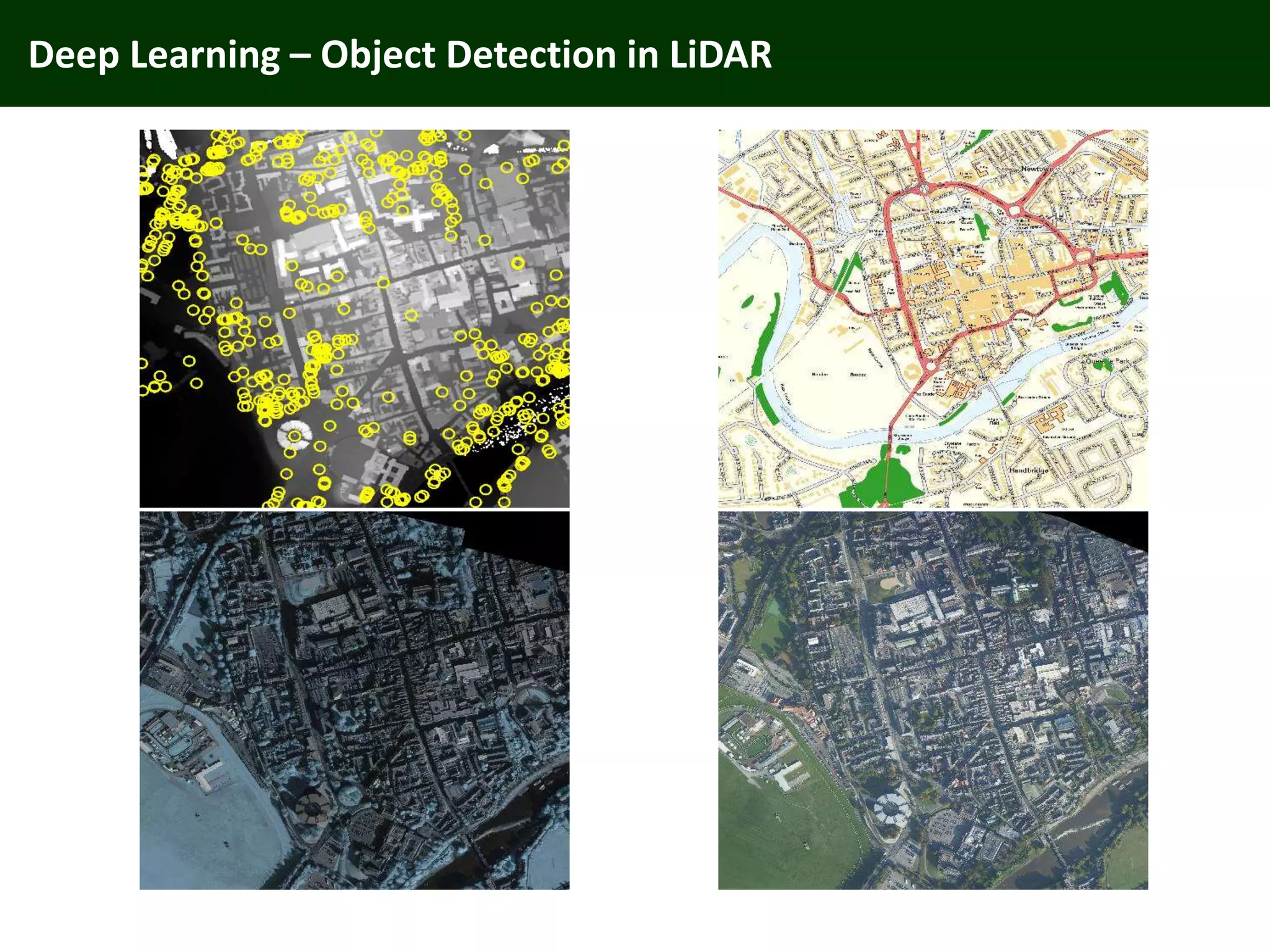
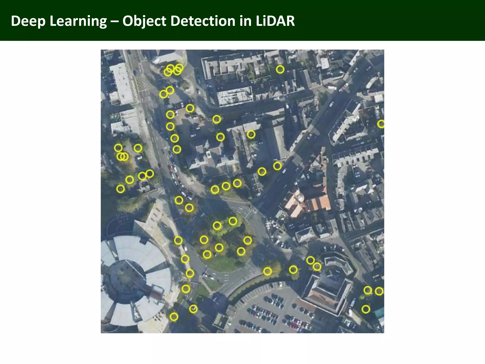
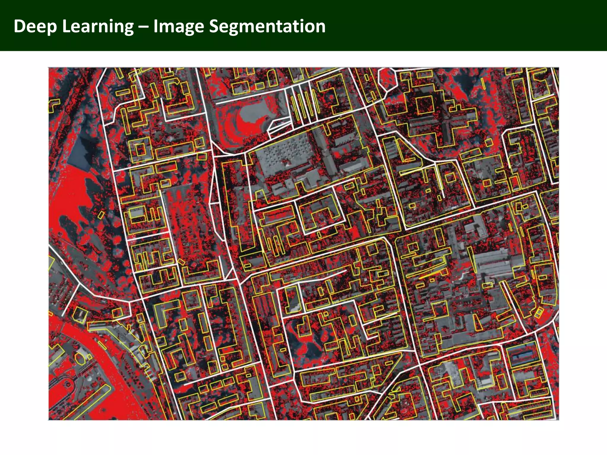

The document discusses the application of lidar technology and deep learning techniques in geographic data science, highlighting the use of lidar for generating 3D point clouds and detecting features in urban environments. It also mentions advancements in GPU technology for processing data, particularly in the context of autonomous vehicles. The presentation includes various illustrative examples and datasets from urban locations like Liverpool and London.