Downloaded 68 times
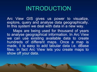
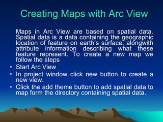


Arc View GIS allows users to visualize, explore, query, and analyze geographic data on maps. Maps in Arc View are based on spatial data, which contains geographic locations of features along with attribute information. Users can load existing data, create new features as point, line, or polygon themes, and symbolize data on maps in various ways to analyze and communicate information effectively.