Downloaded 118 times
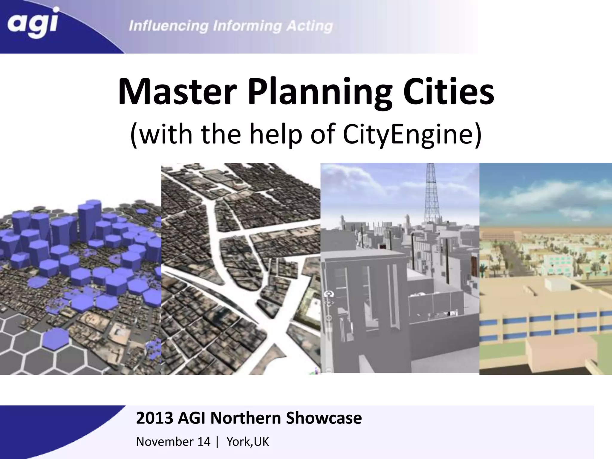
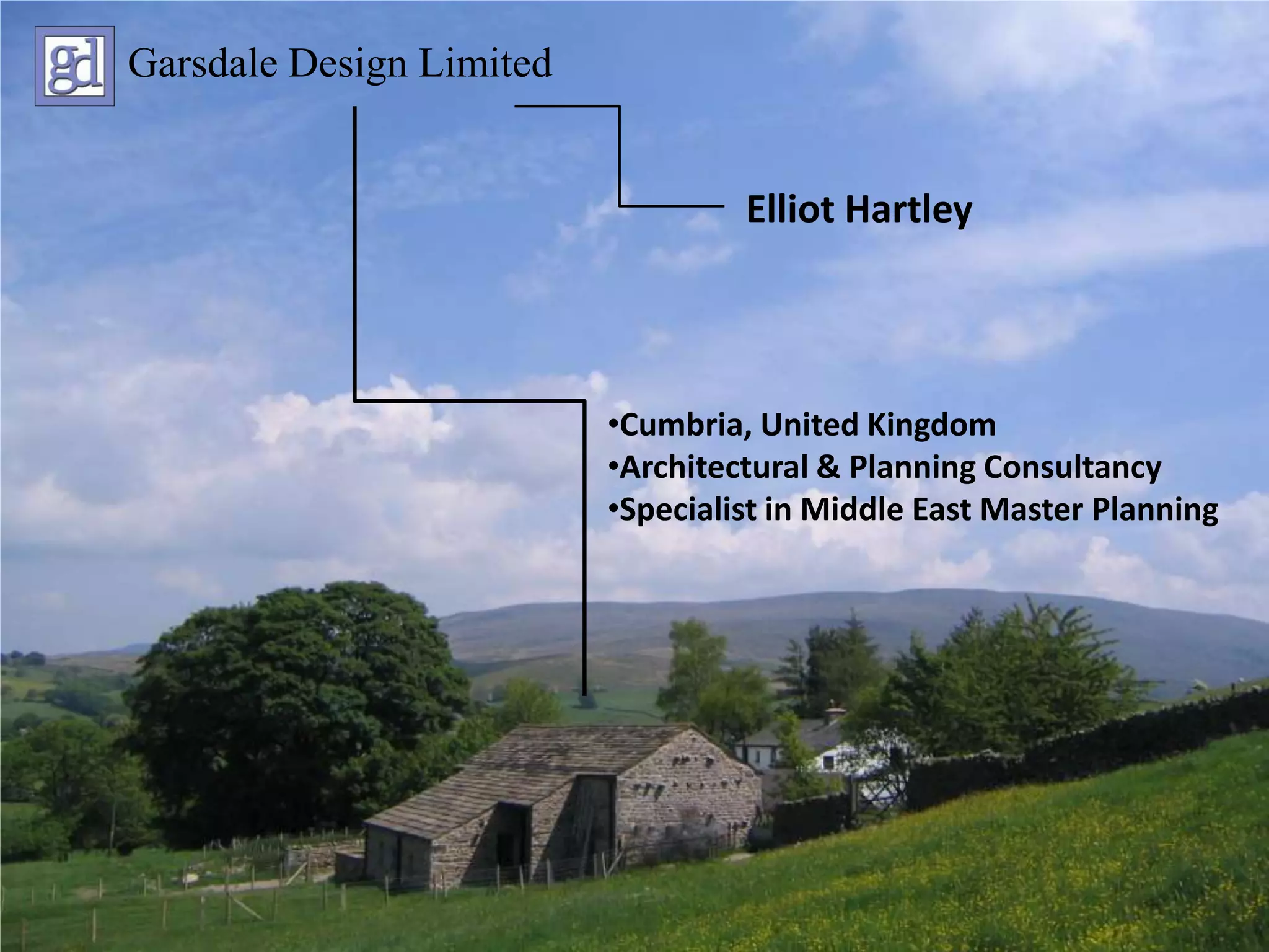

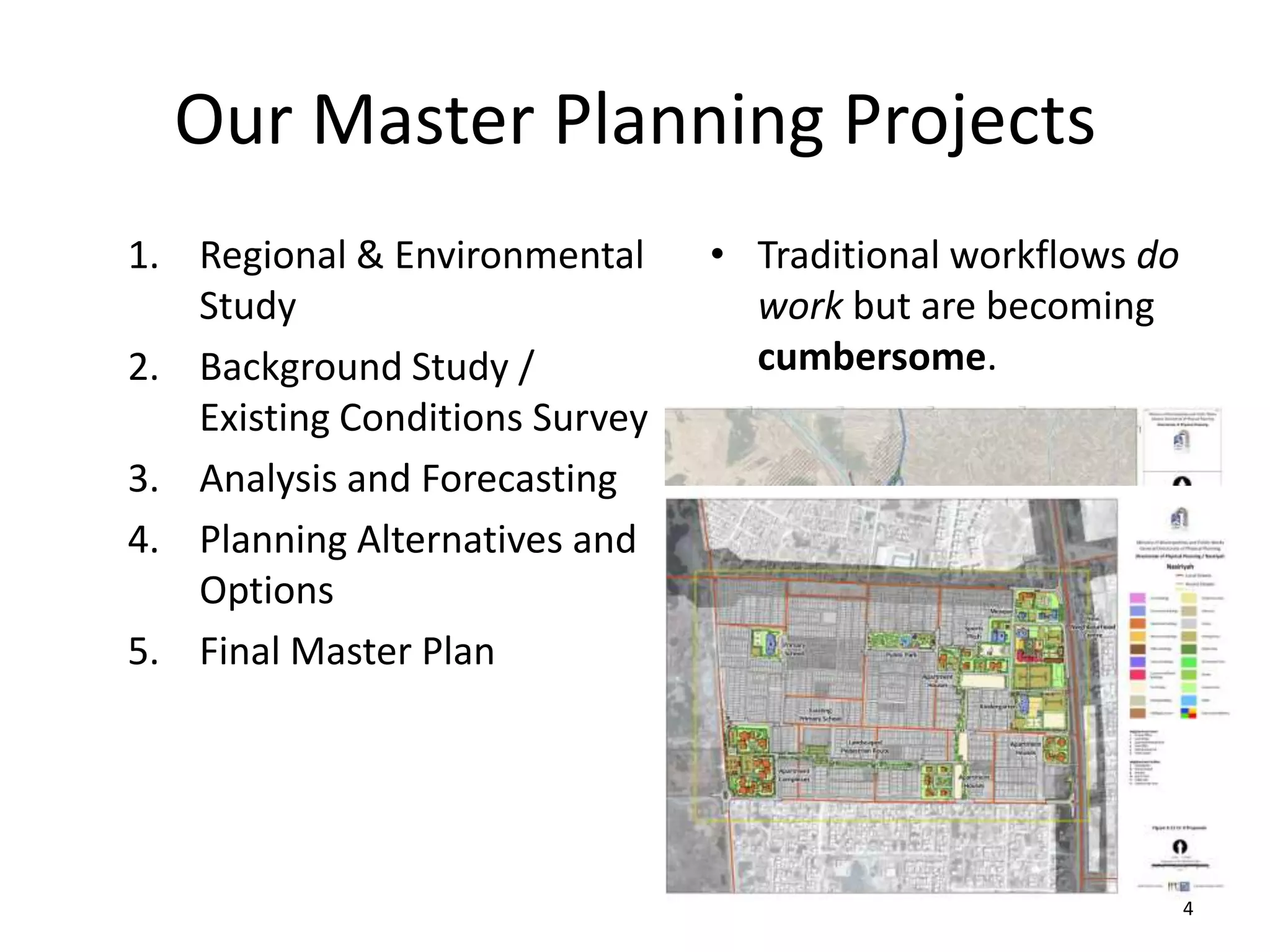
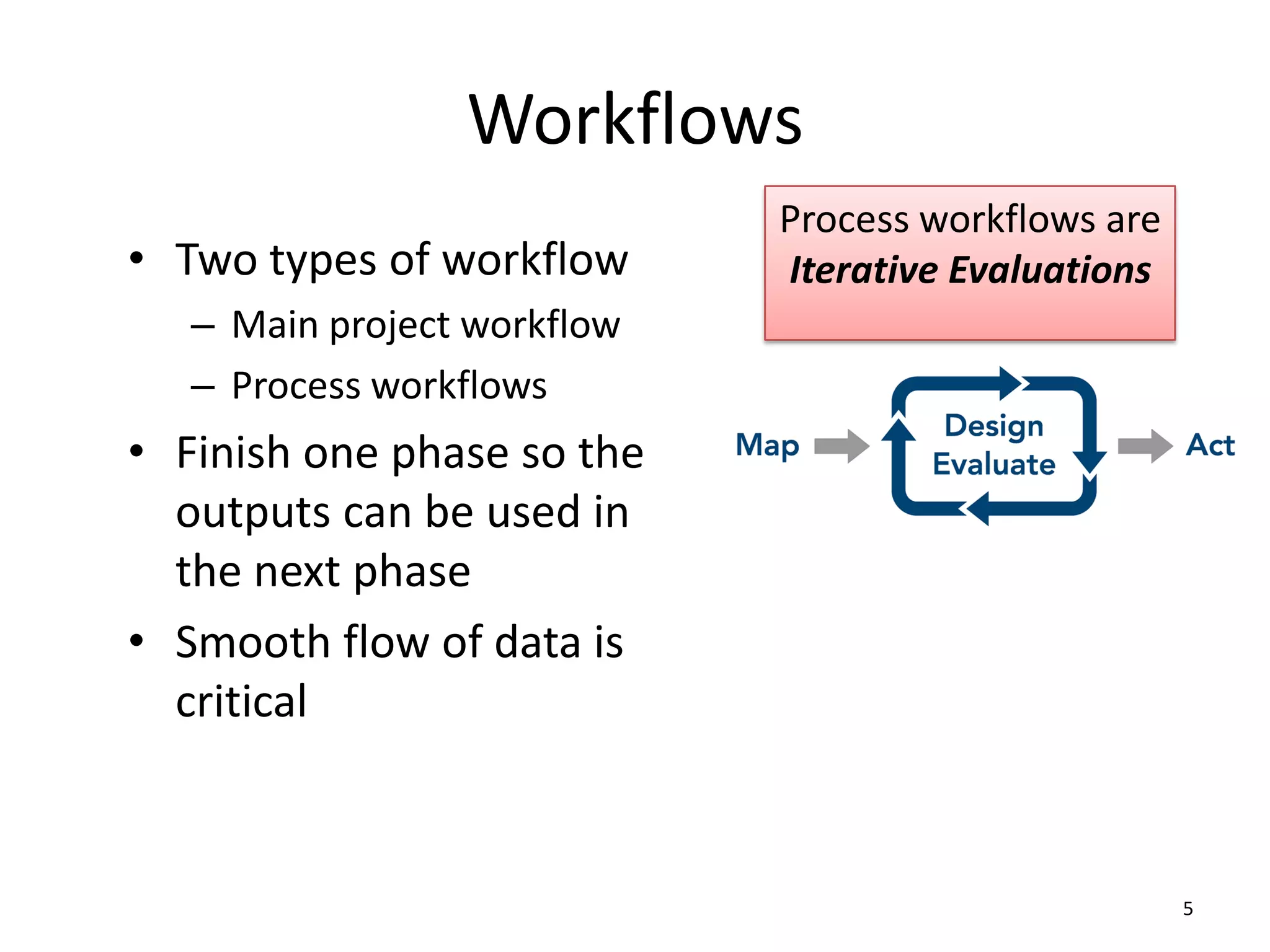
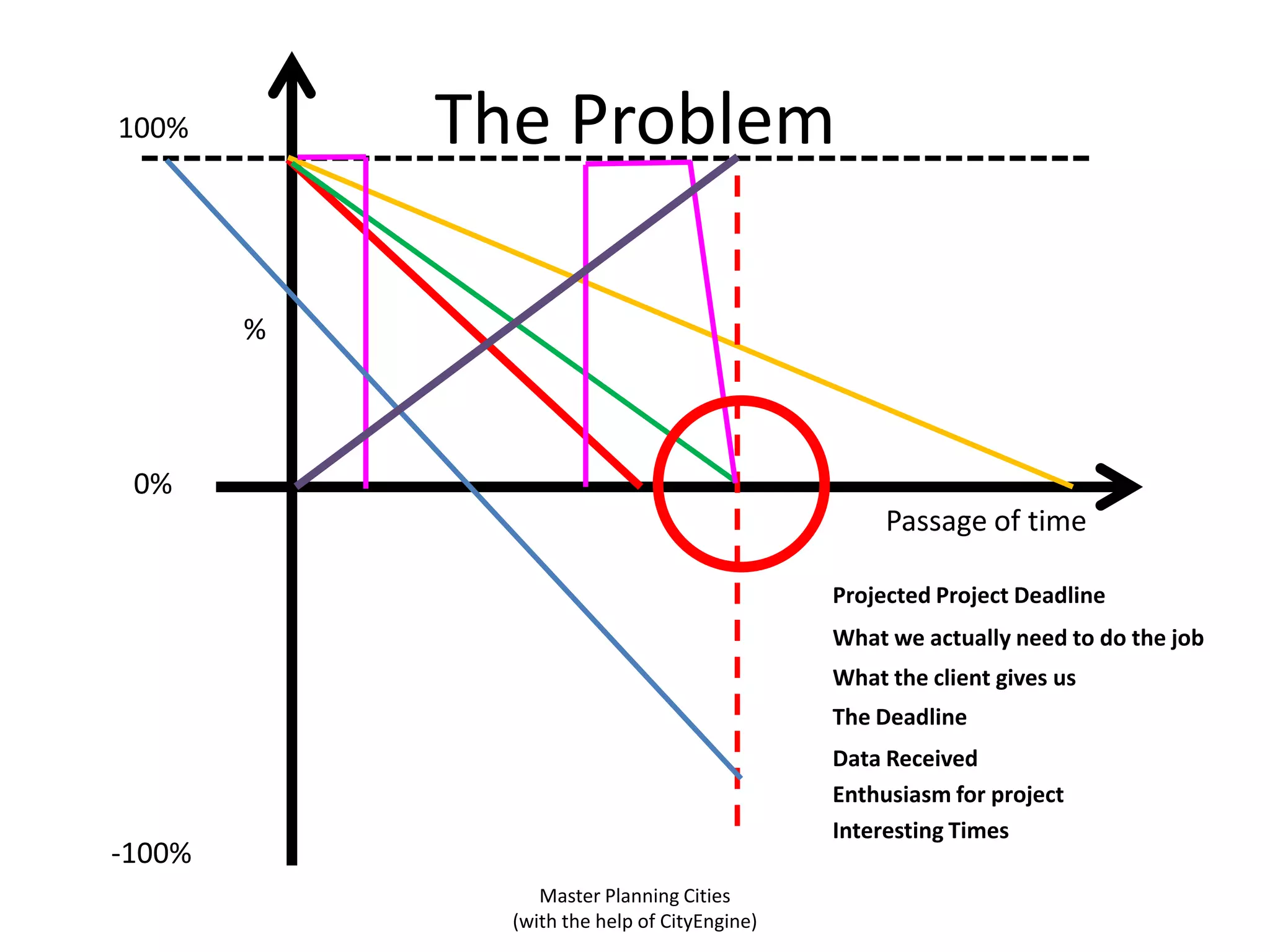
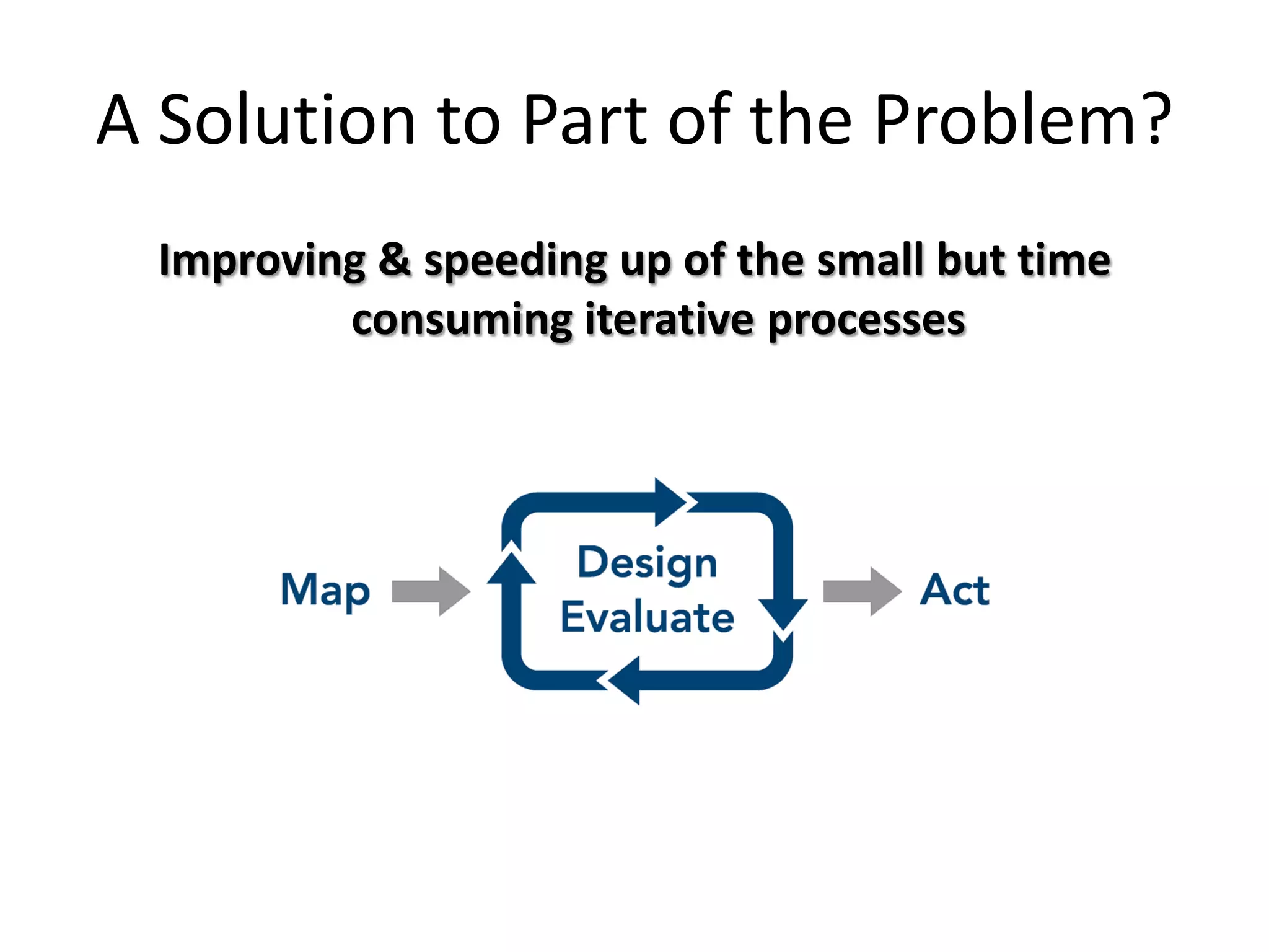
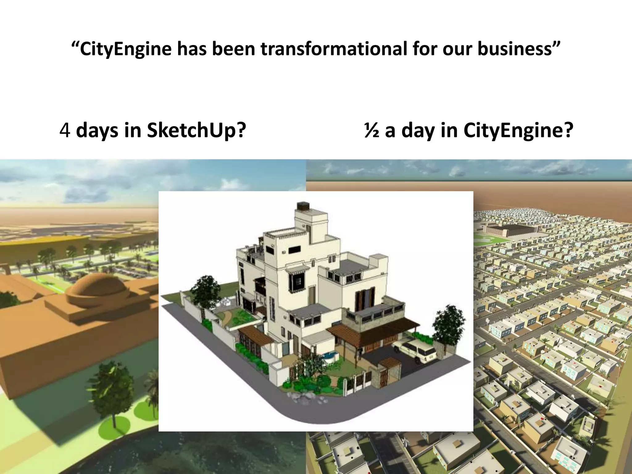
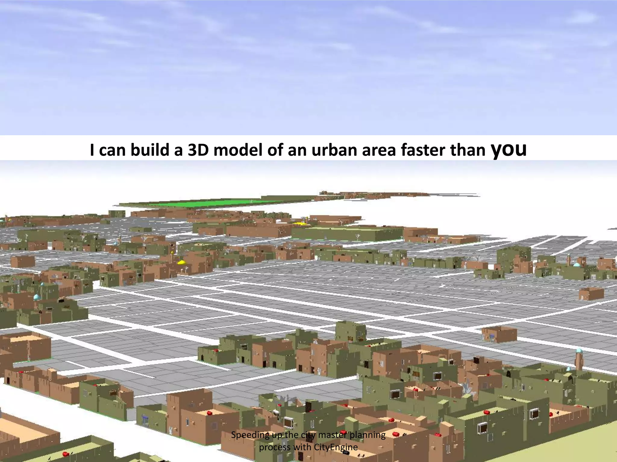
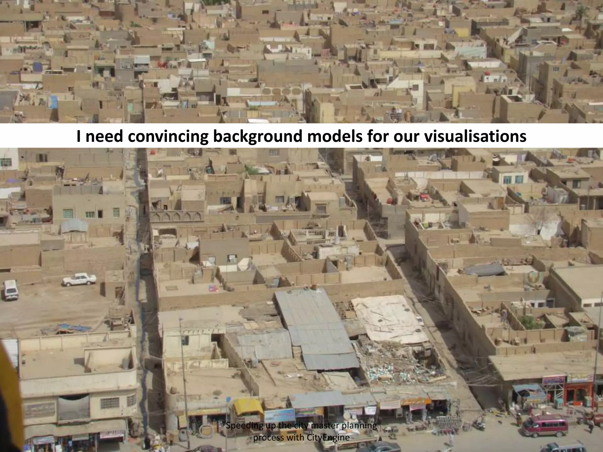
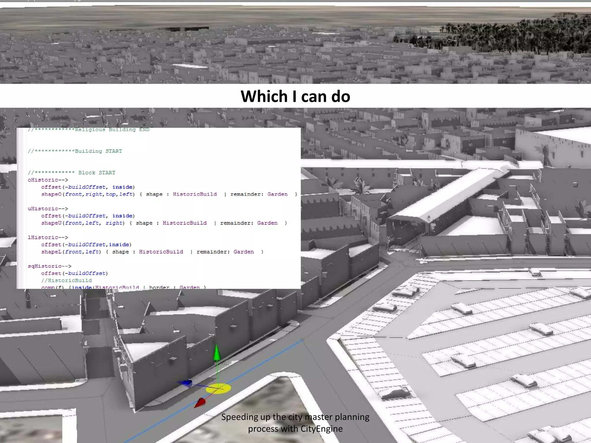
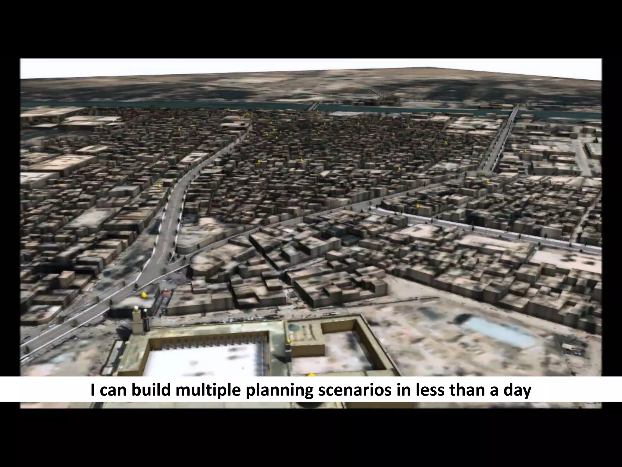
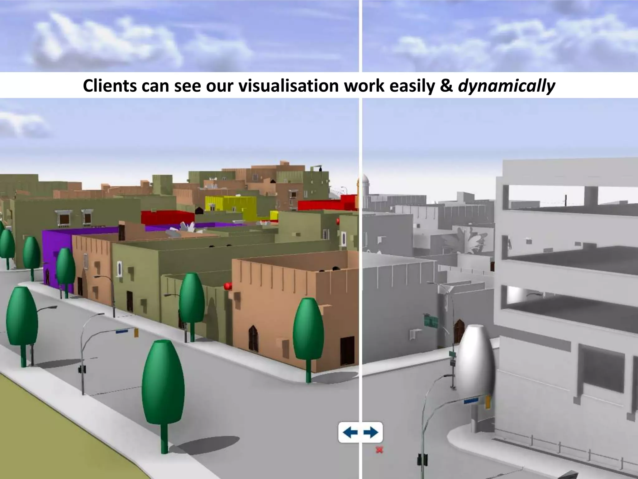
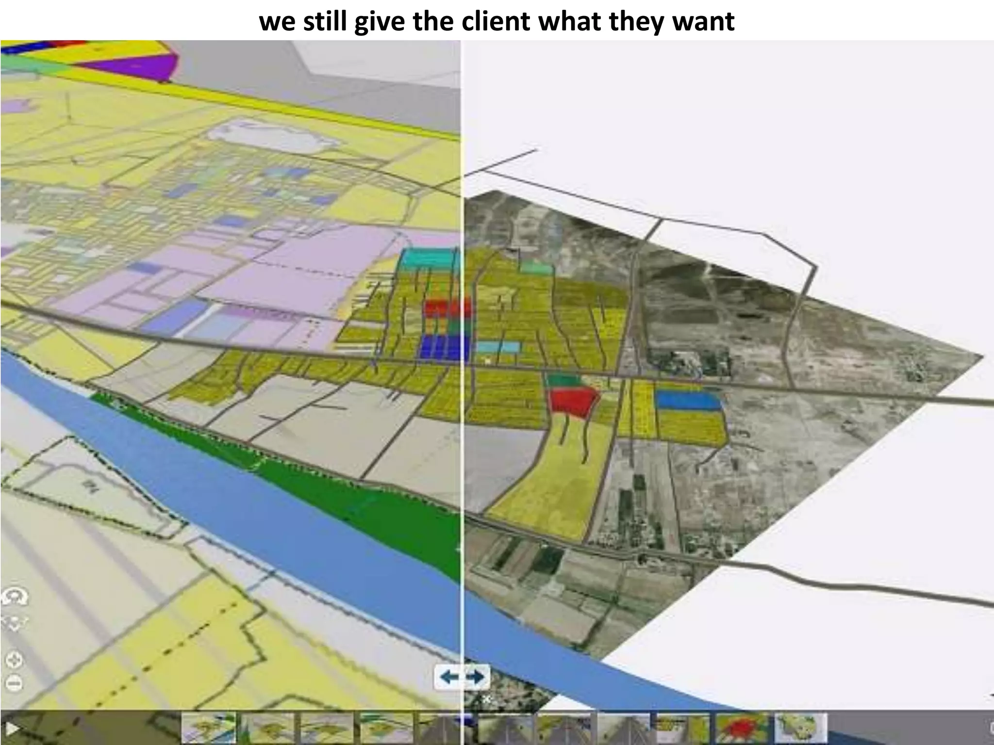
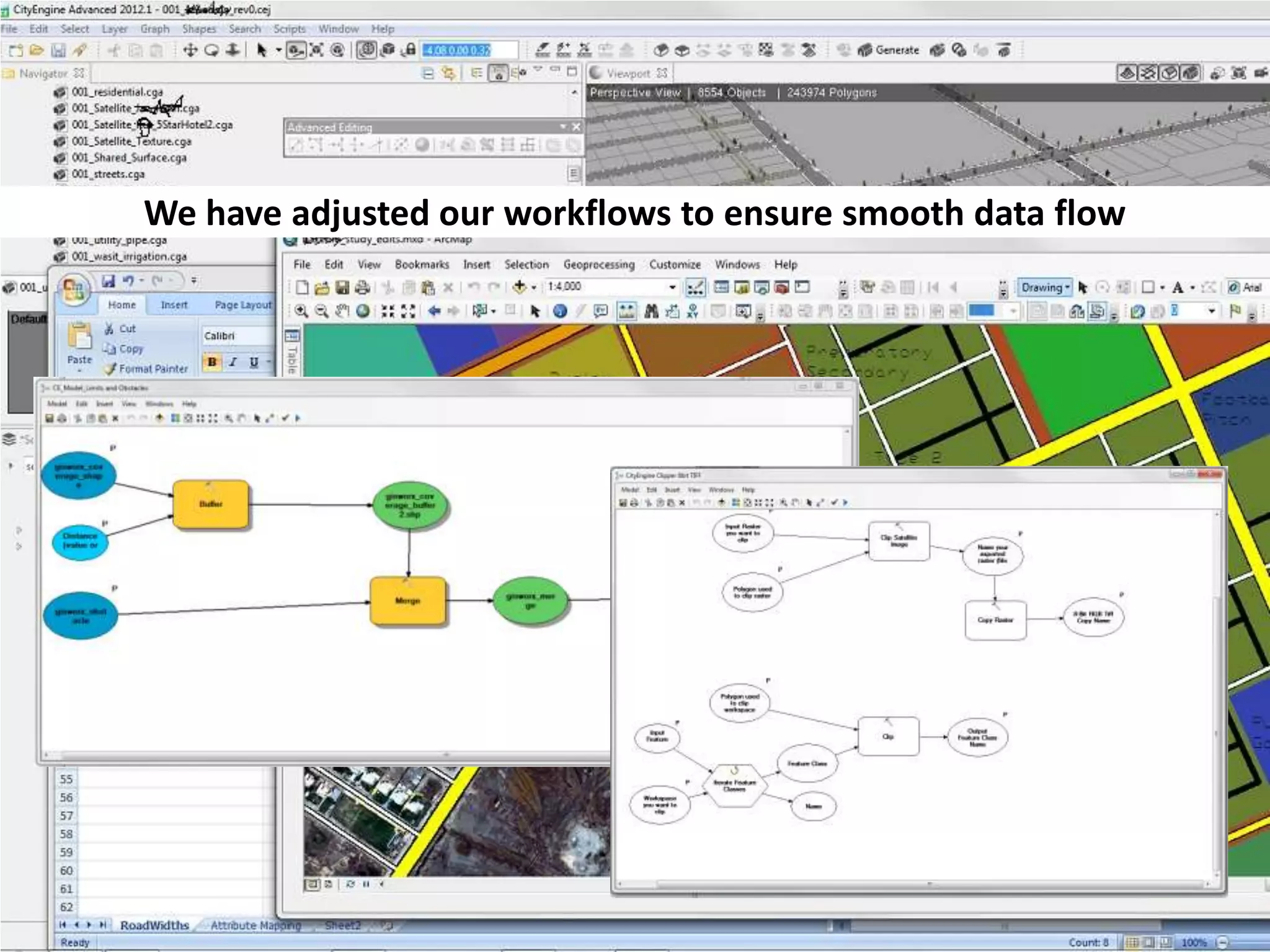
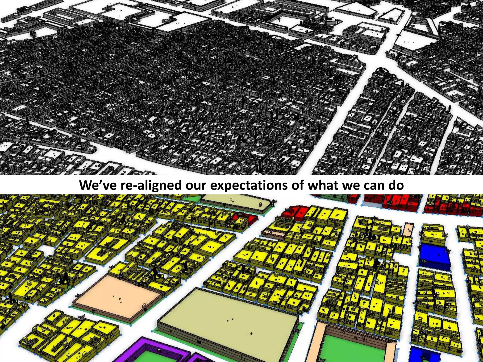
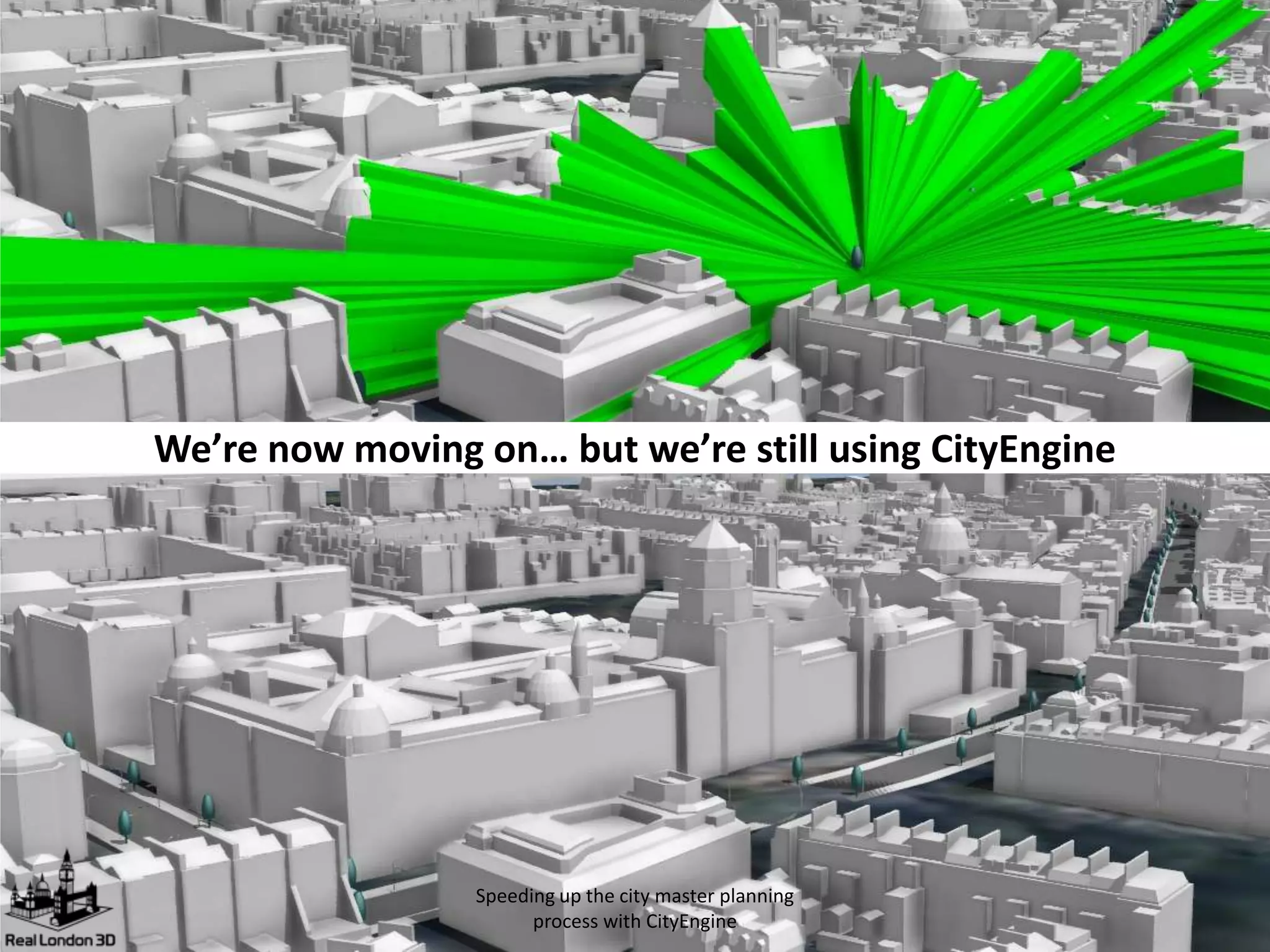
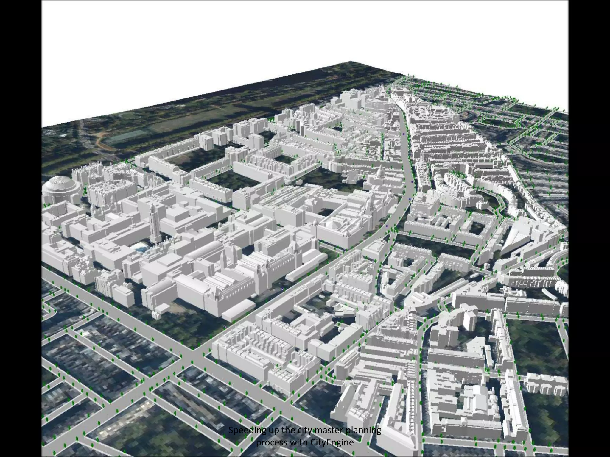
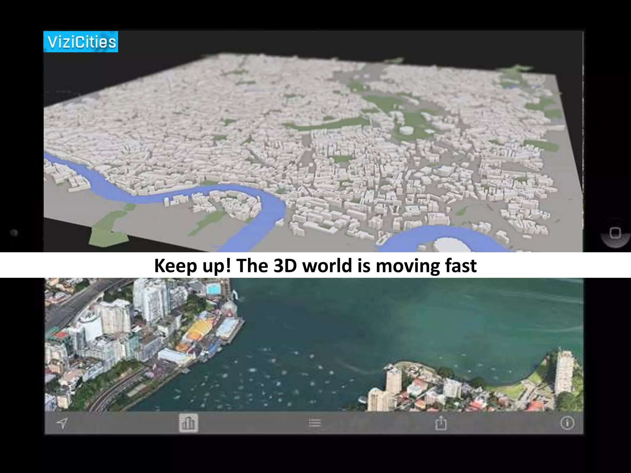
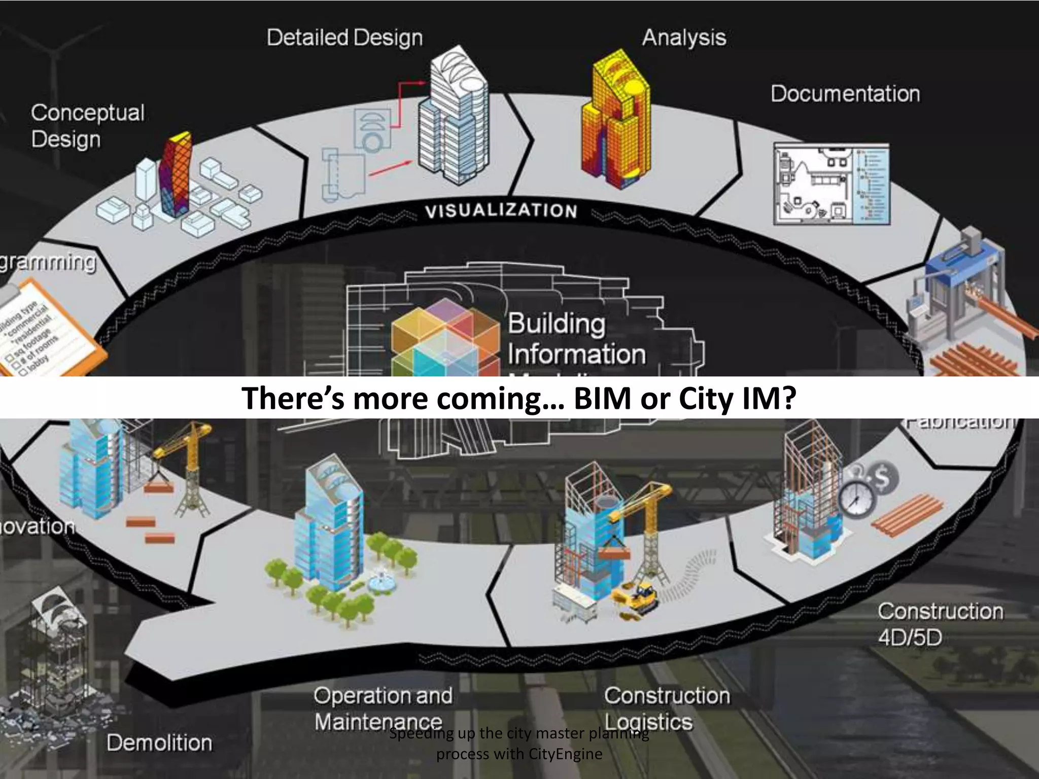
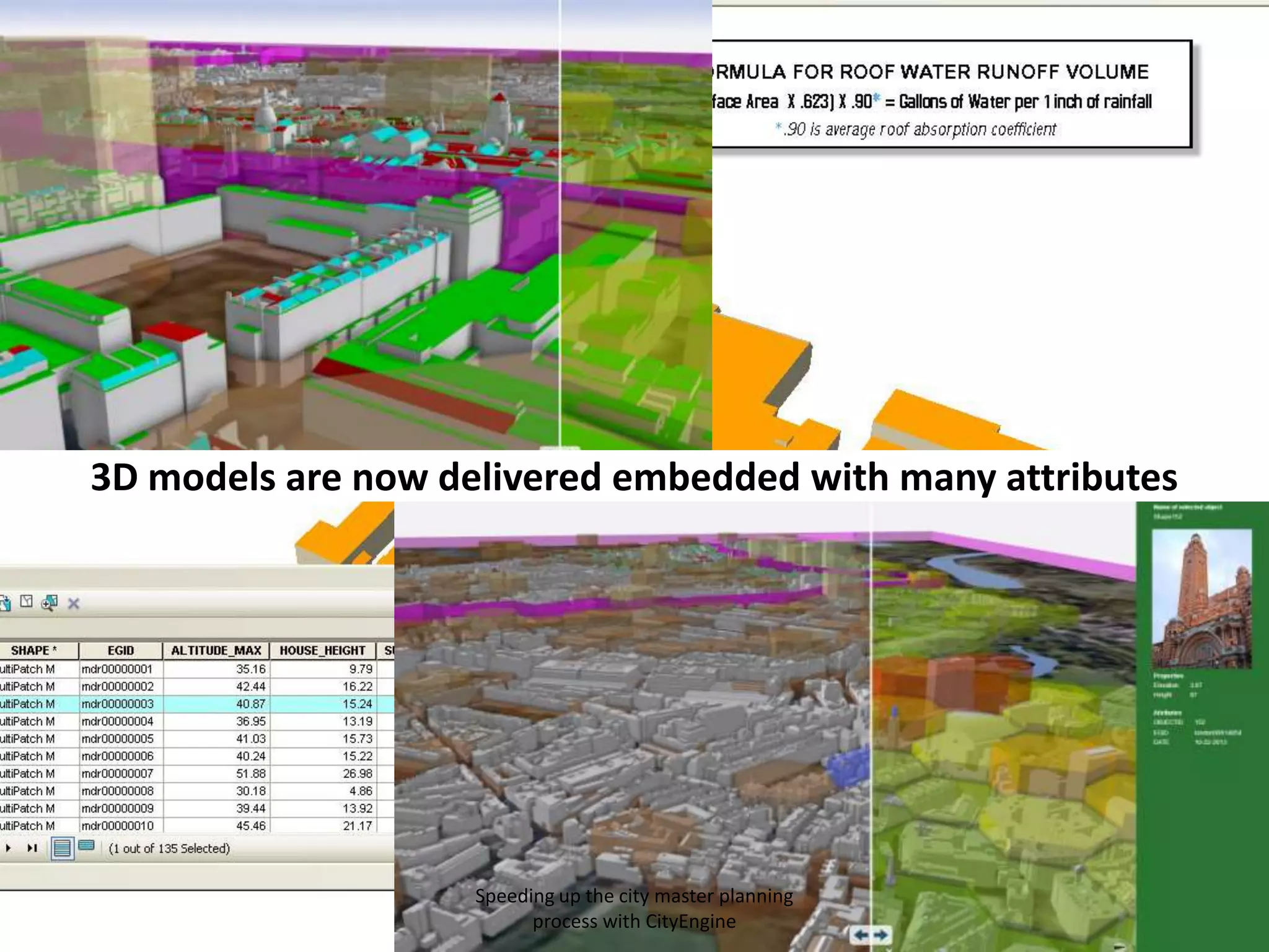
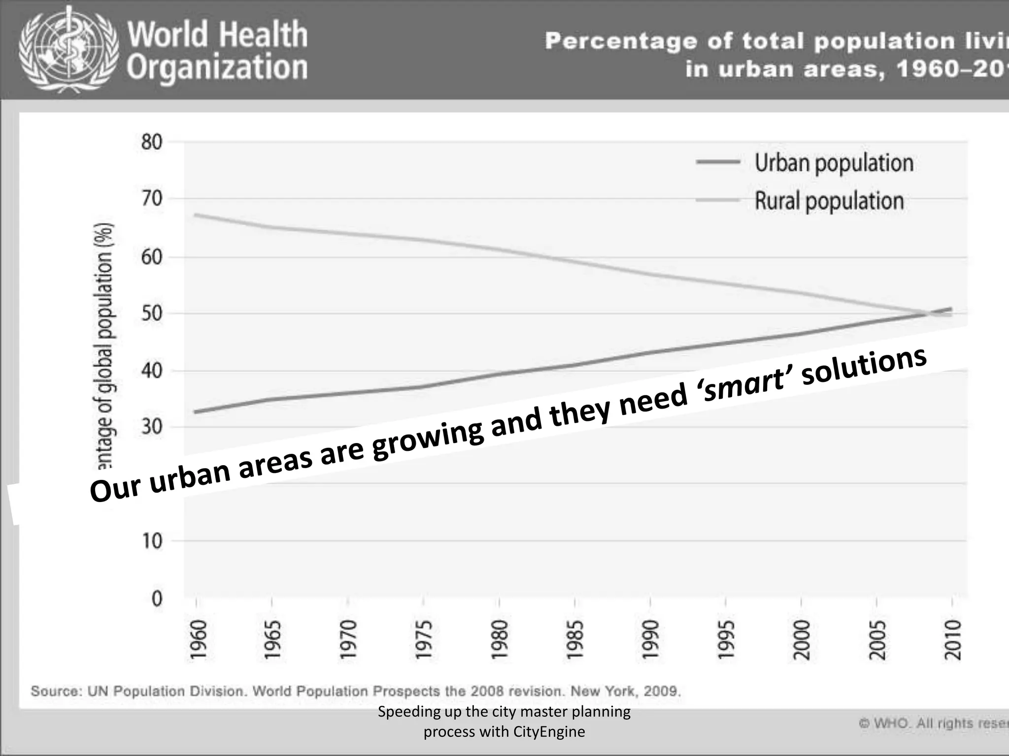
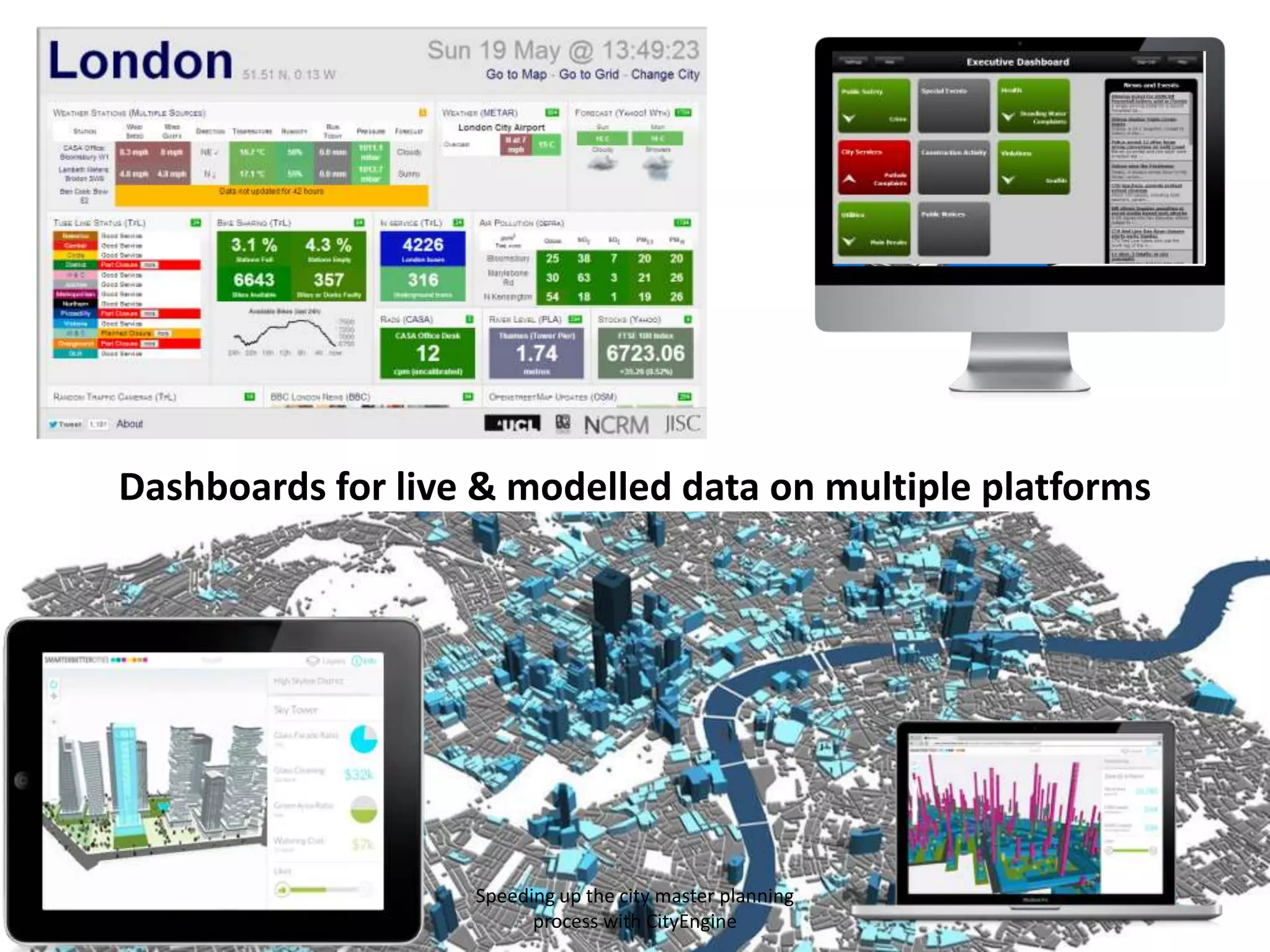
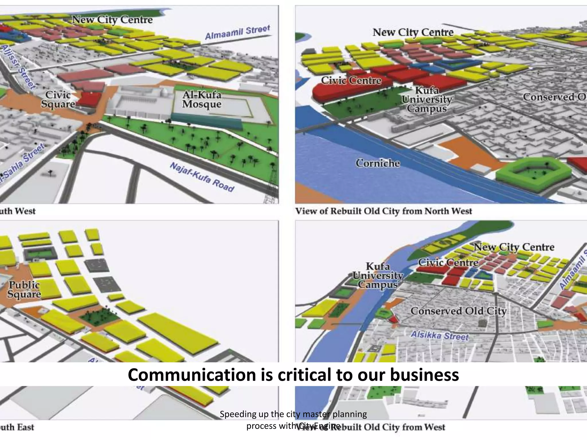
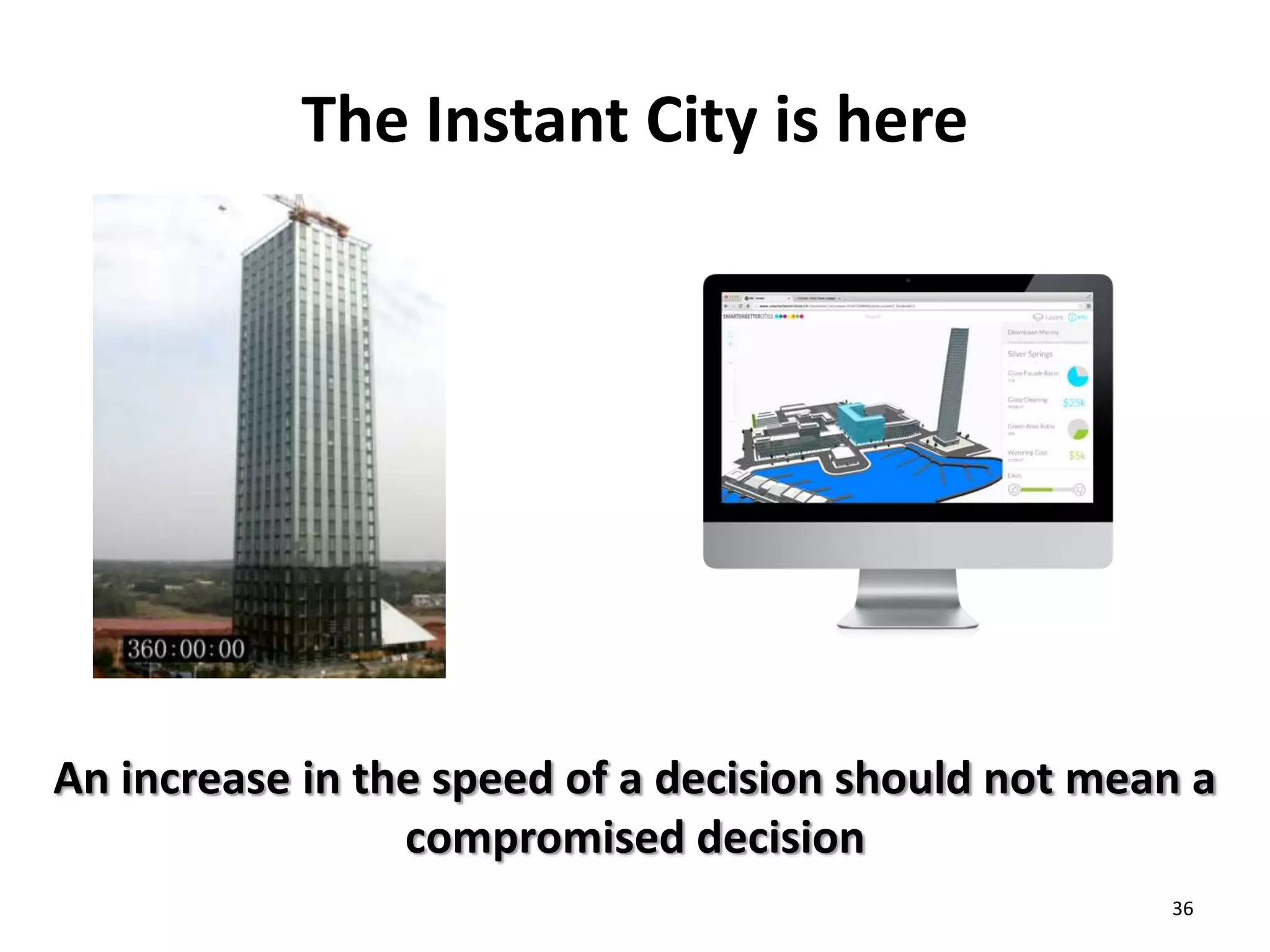
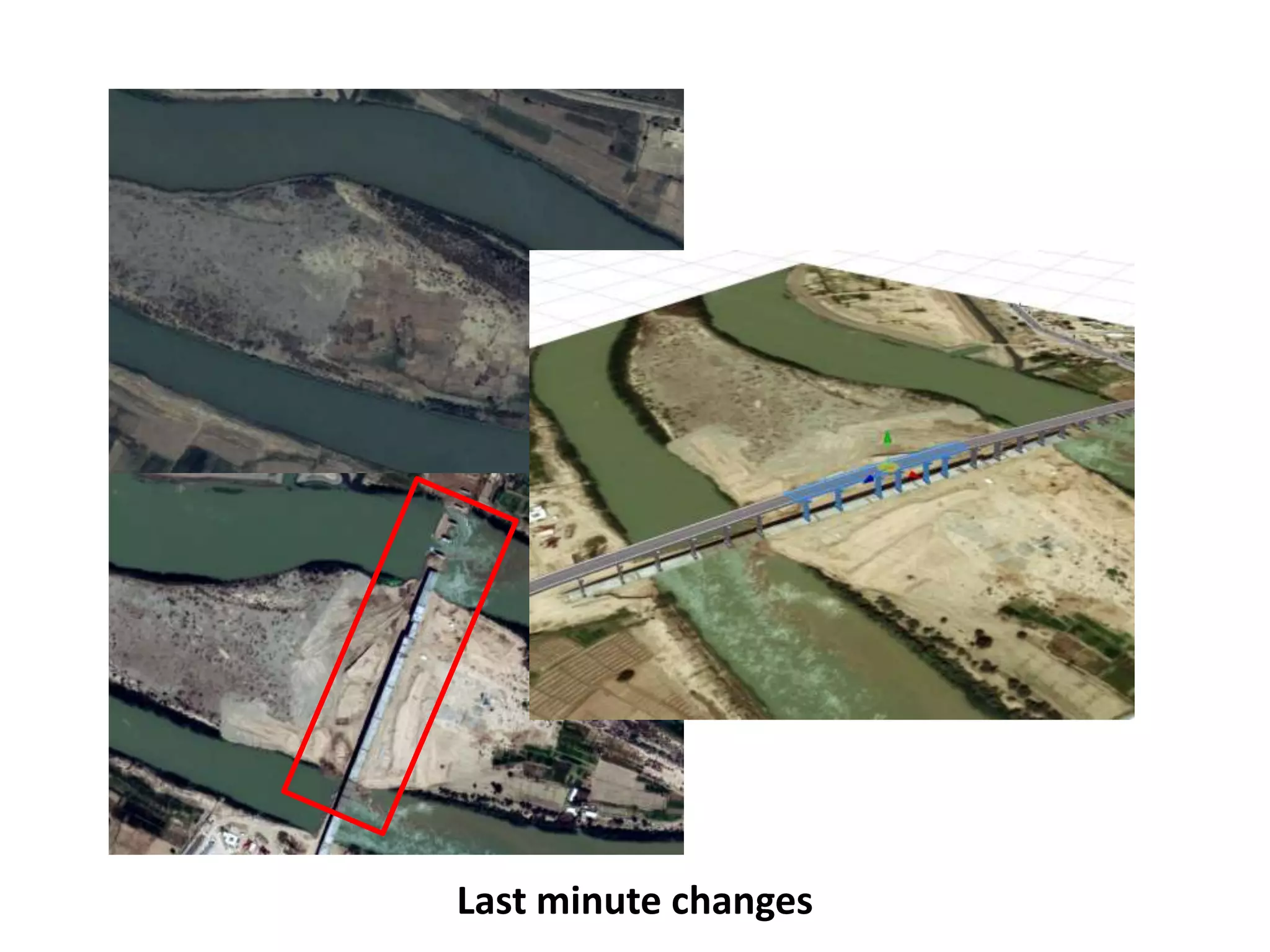
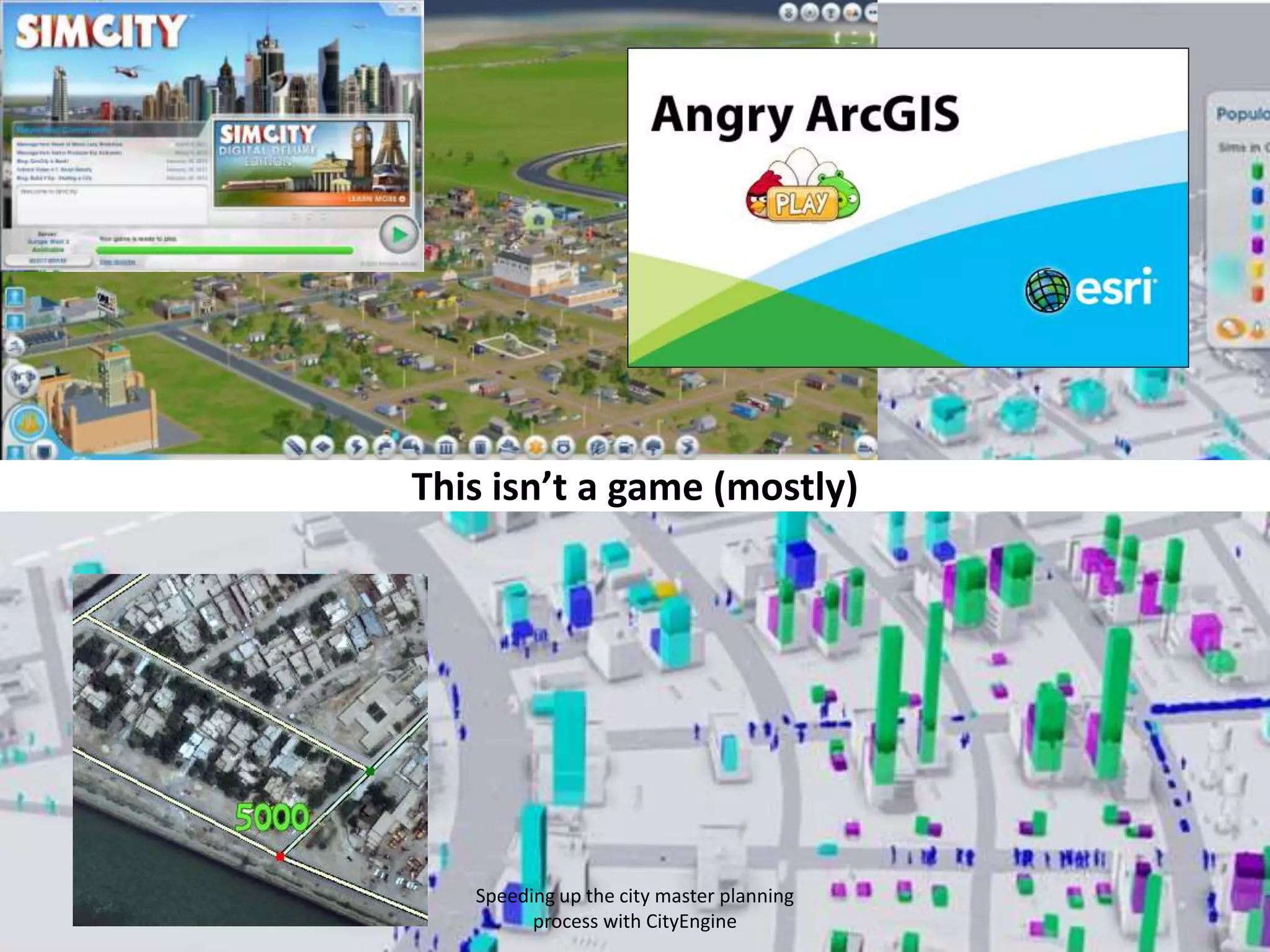


The document discusses the use of CityEngine by Garsdale Design Ltd to enhance and expedite the city master planning process, addressing issues of complex workflows and data management. It highlights the advantages of CityEngine in streamlining iterative processes, enabling faster 3D modeling, and improving communication with clients. The document emphasizes a shift in workflows to adapt to new technologies while maintaining quality and meeting client expectations.


![Coded Agents – with UiPath SDK + LangGraph [Virtual Hands-on Workshop]](https://cdn.slidesharecdn.com/ss_thumbnails/codedagentsdeck-251215155422-5497c599-thumbnail.jpg?width=640&height=640&fit=bounds)
