Download to read offline


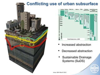

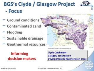
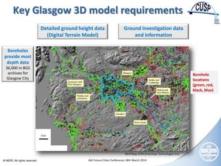
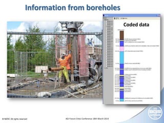


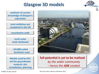


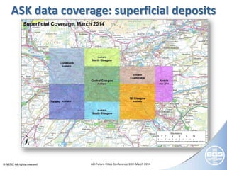

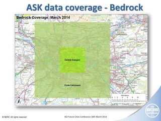

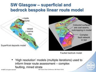


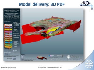
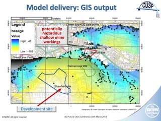


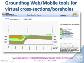

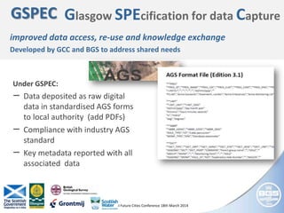
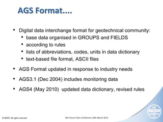
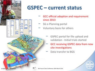
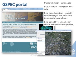
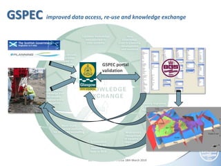

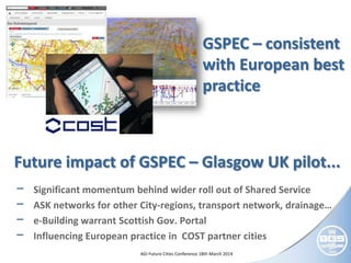


The document discusses Glasgow's efforts to better utilize subsurface data through digital standards and an innovative public-private partnership called ASK. It summarizes Glasgow's development of 3D geological models of the subsurface using over 50,000 boreholes. These models are being used to inform decision-making around issues like ground conditions, flooding, and geothermal resources. The document also describes Glasgow's GSPEC standard for capturing subsurface data in a digital format to improve access and reuse of the data.


