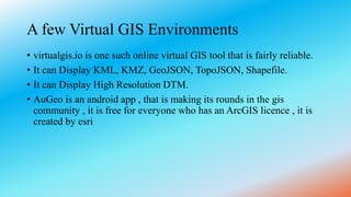
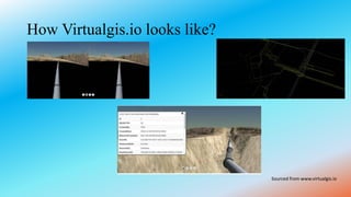
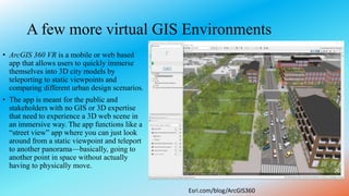
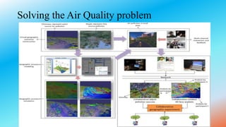
Virtual GIS or virtual geographic environment is a combination of virtual reality, augmented reality, and artificial neural networks integrated into a GIS system. This allows the spatial relationships of geography to be more easily visualized. Examples of virtual GIS environments include virtualgis.io, which can display various geospatial file types and high resolution terrain models. ArcGIS 360 is a mobile or web app that allows users to immerse themselves in 3D city models. Virtual GIS allows integration of dynamic parameters like pollution sources to visualize and understand relationships between air quality and factors like climate change in real-time through interactive virtual environments.