Download as PDF, PPTX
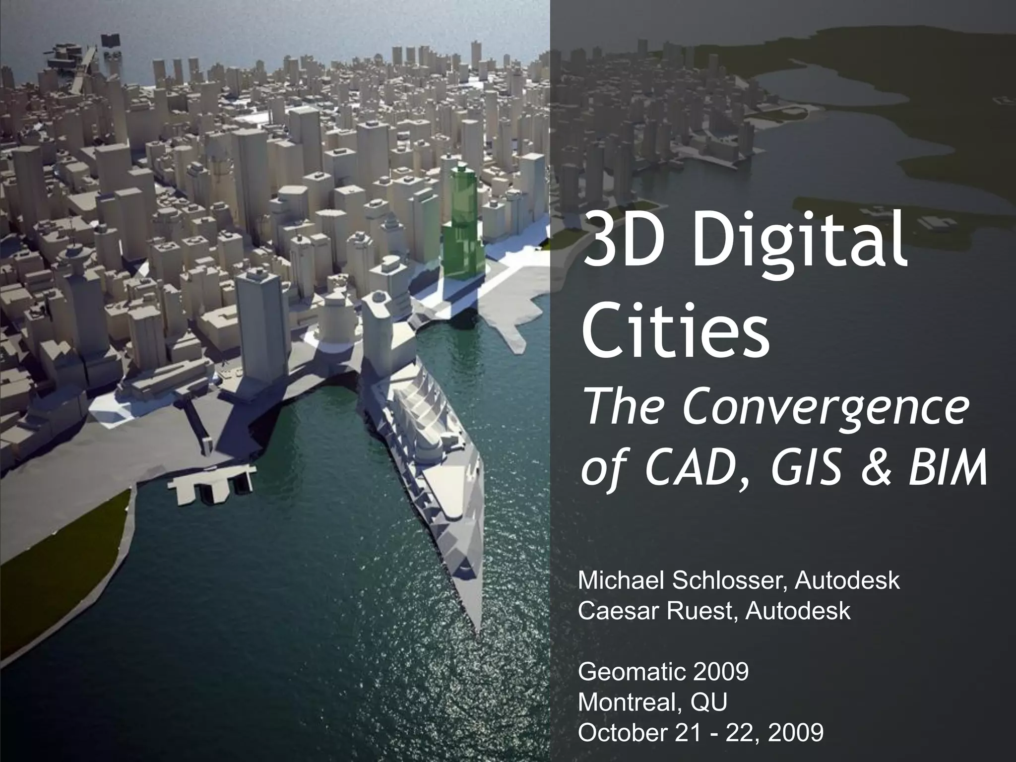


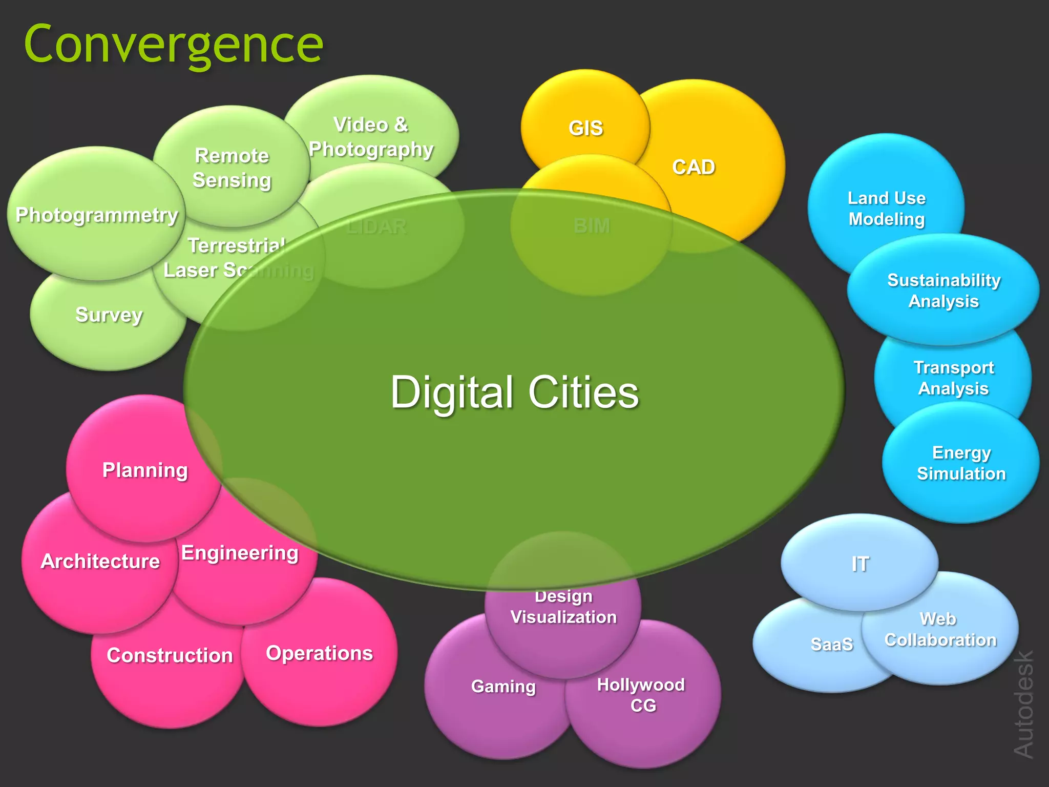


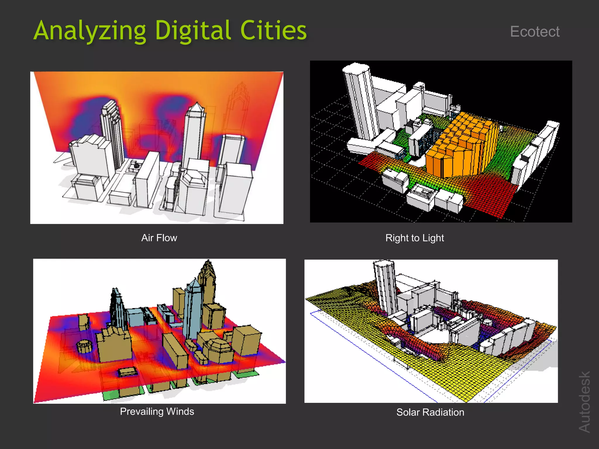
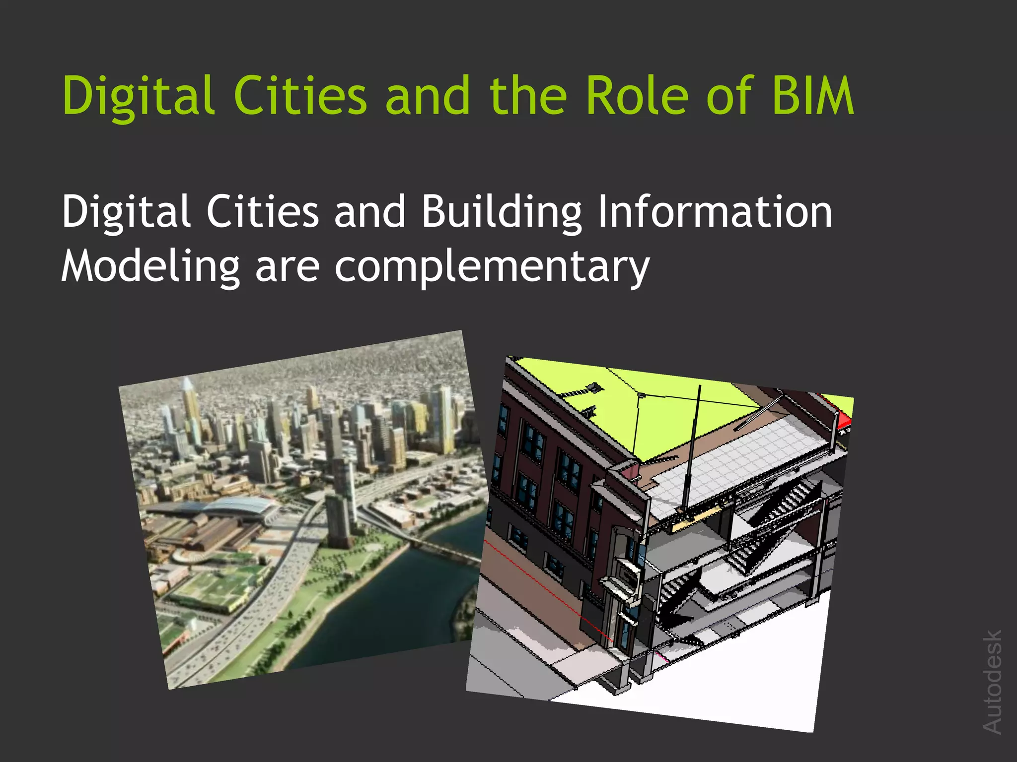


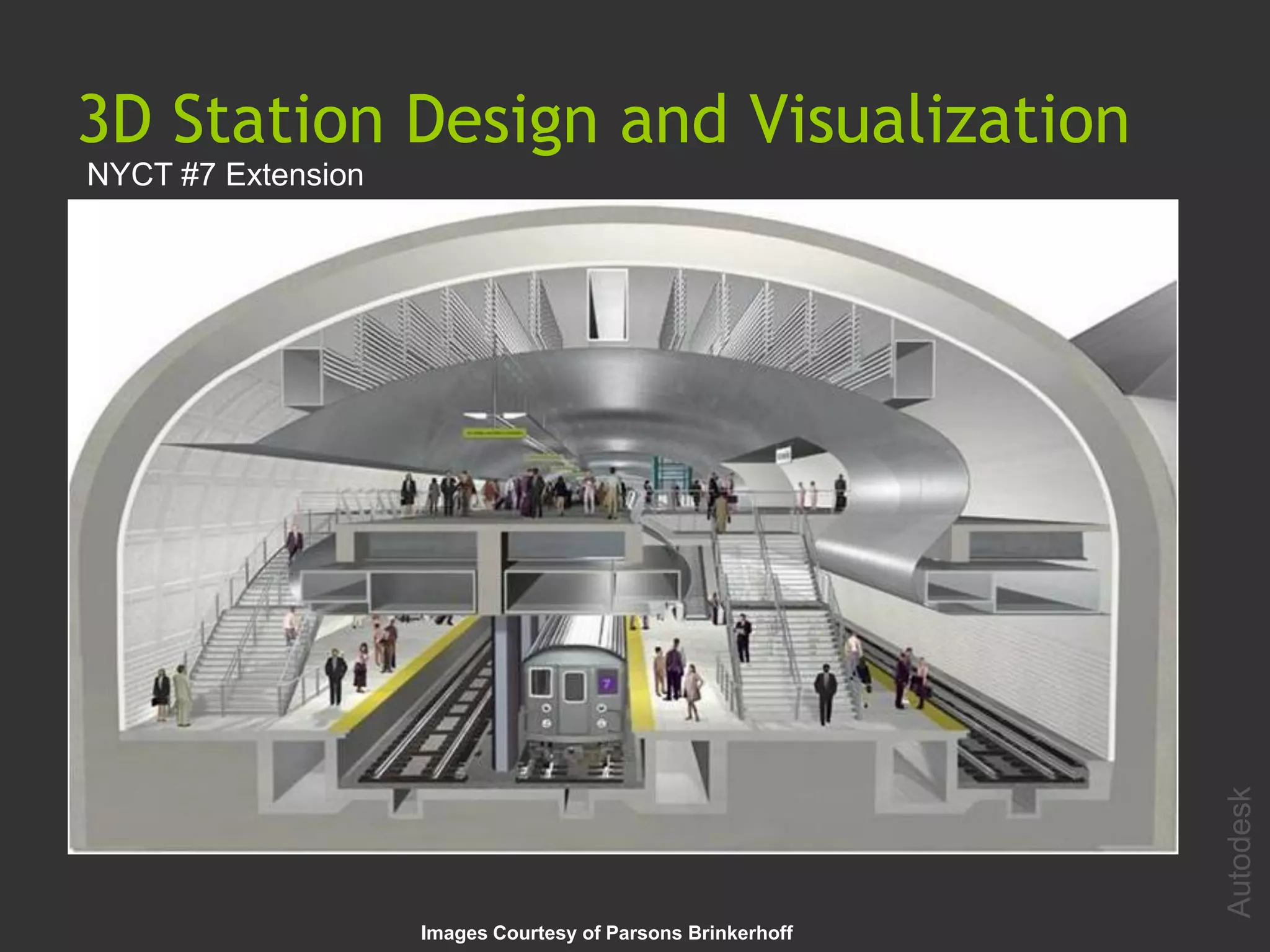
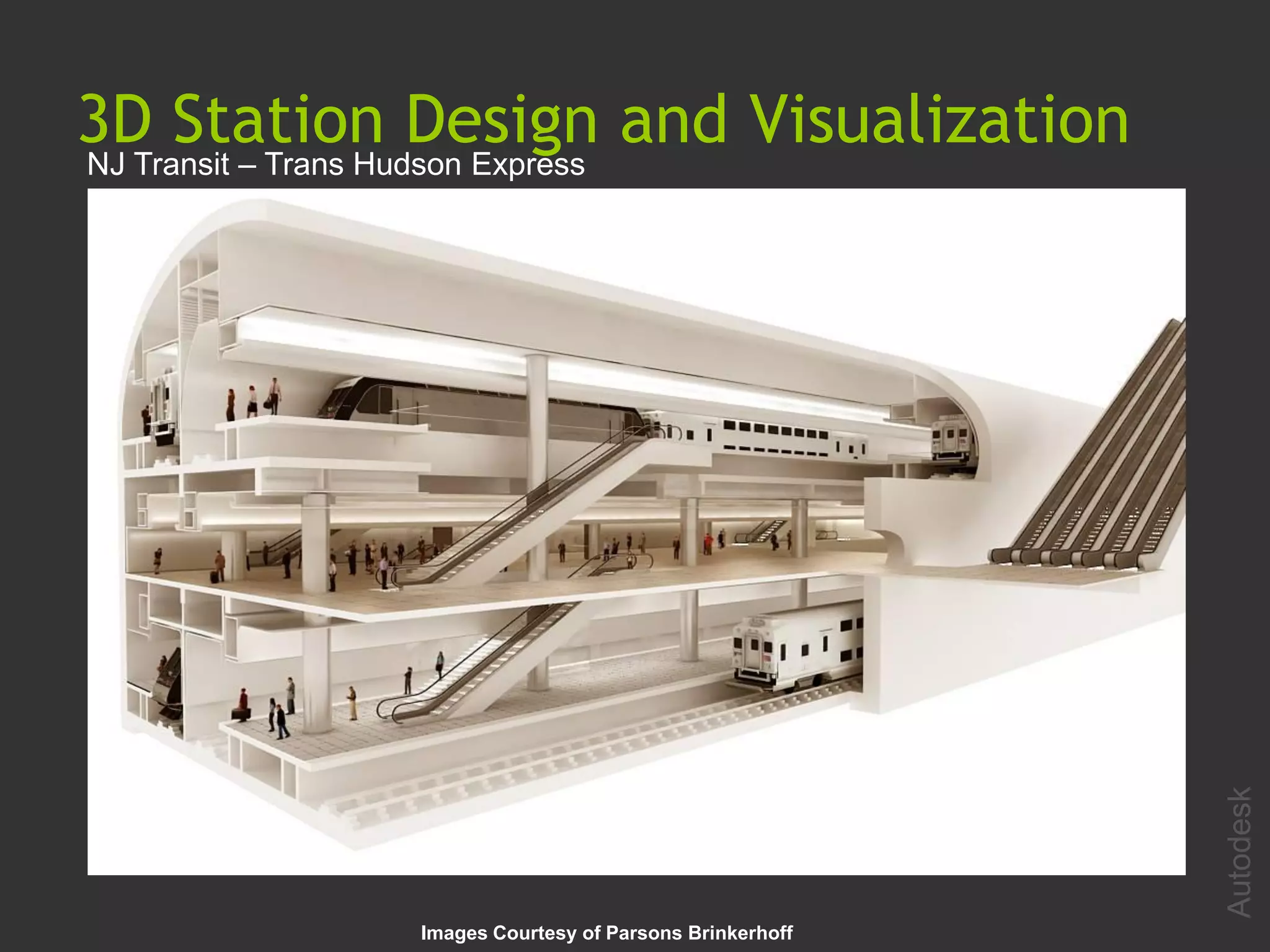


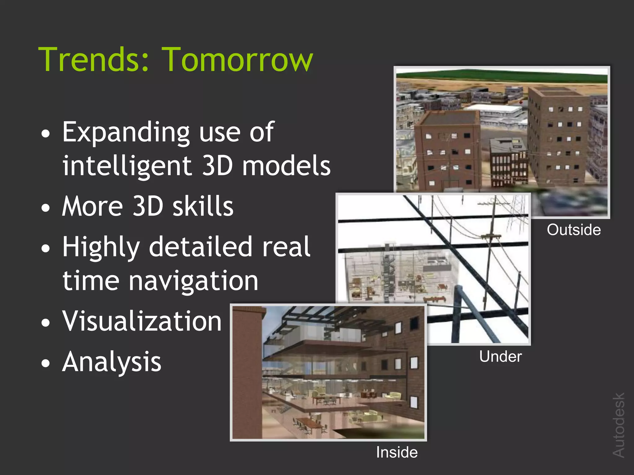
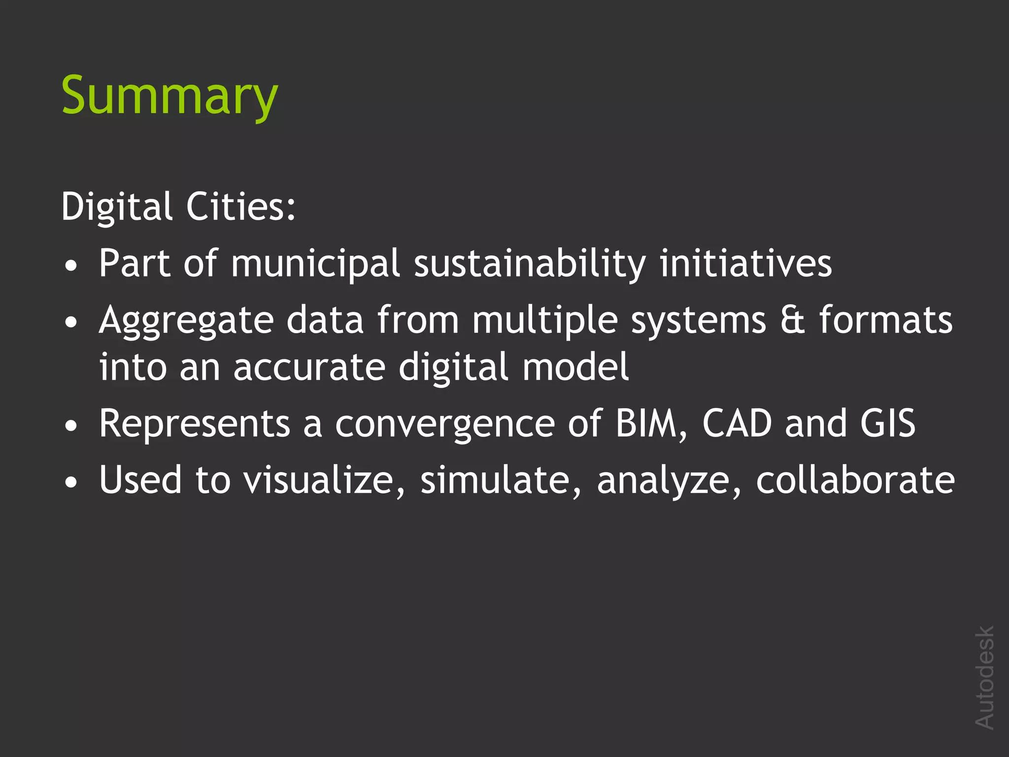


The document discusses the emergence of 3D digital cities as a convergence of building information modeling (BIM), computer-aided design (CAD), and geographic information systems (GIS). 3D digital cities combine mapping, building, civil, and utility data into accurate 3D models that can be visualized, analyzed, and shared. They are part of municipal sustainability initiatives and help analyze projects, visualize designs, and simulate city planning initiatives. The trend is moving towards more detailed real-time navigation and analysis of intelligent 3D city models.


