Downloaded 28 times
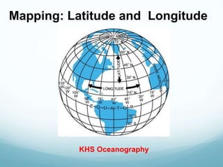
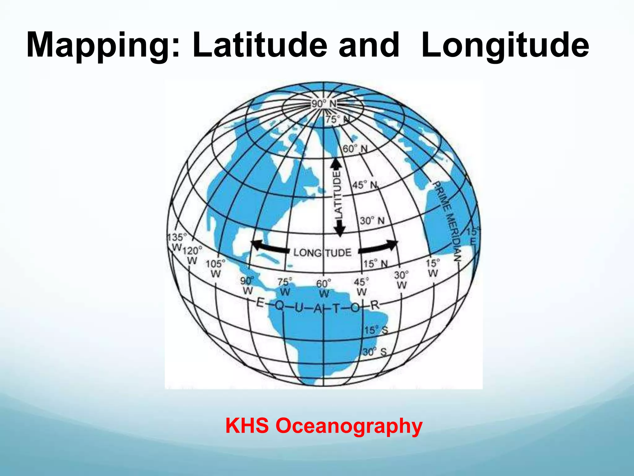

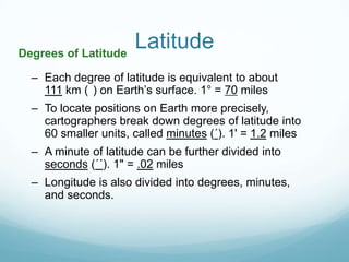
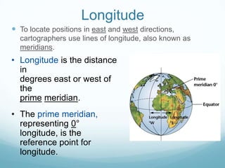
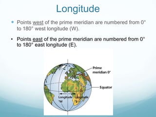

Cartographers use lines of latitude and longitude on an imaginary grid to locate points on Earth. Latitude lines run parallel to the equator and measure distances north and south. Longitude lines measure distances east and west from the prime meridian. Latitude and longitude are measured in degrees, minutes, and seconds, with each degree of latitude covering approximately 111 km on Earth's surface.


