Download as PDF, PPTX
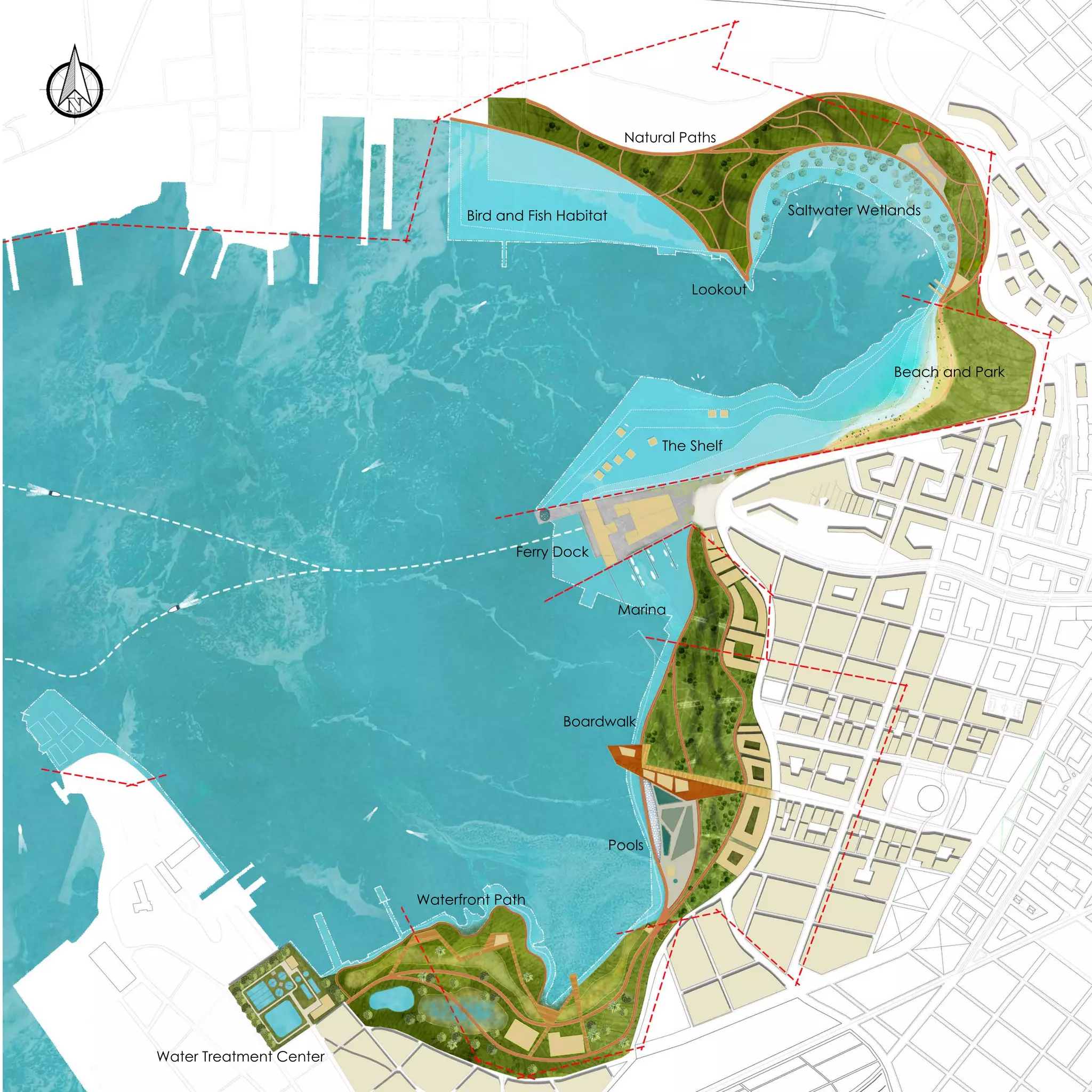
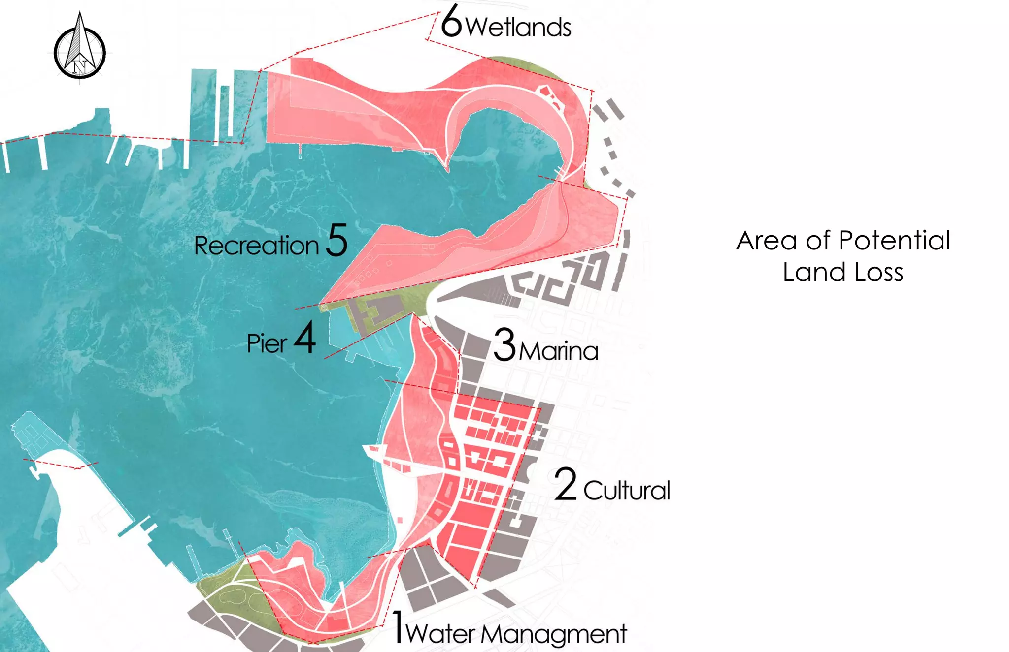
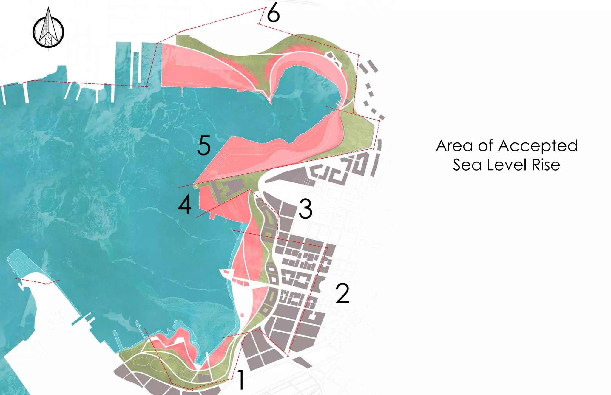
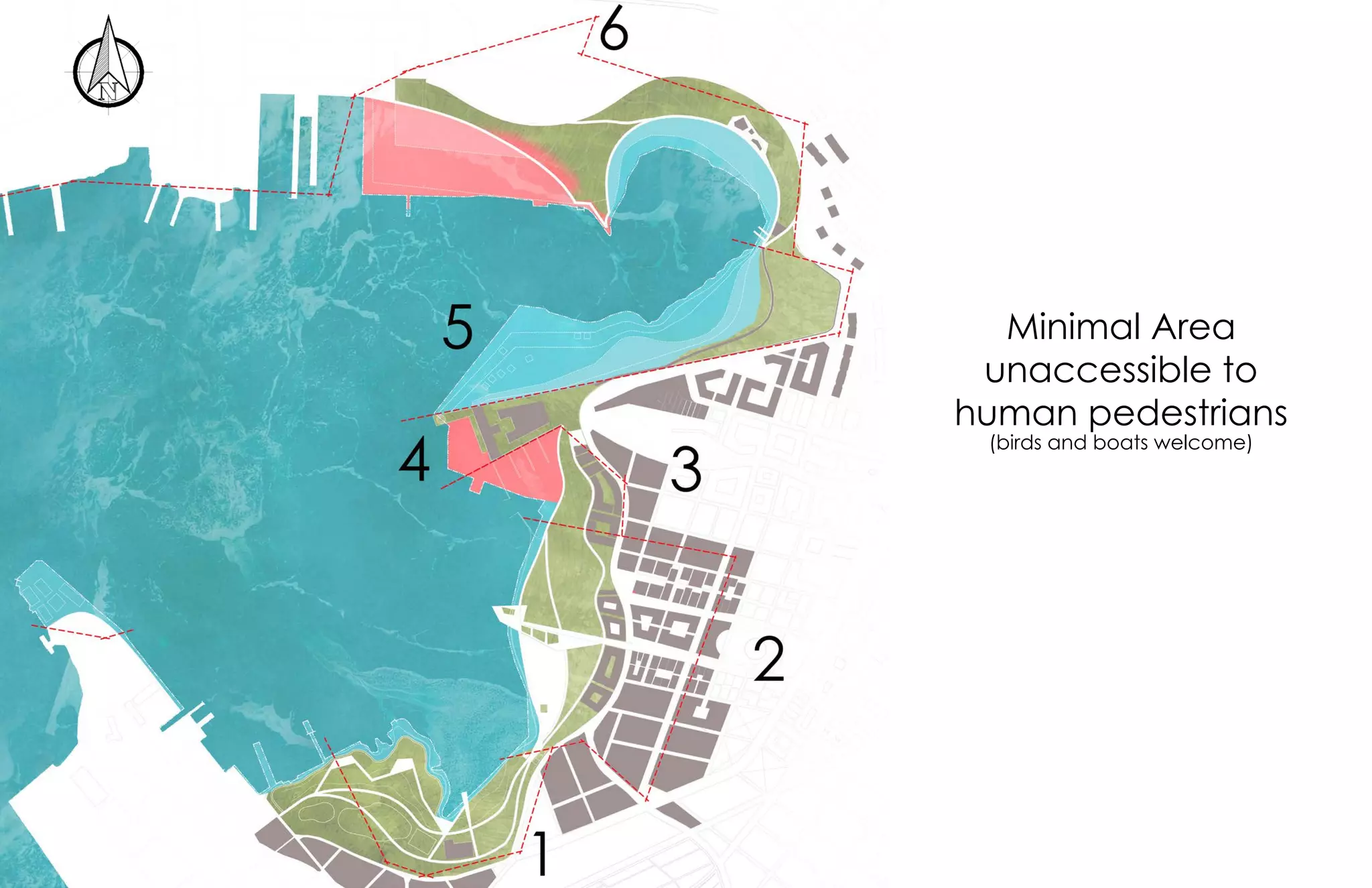
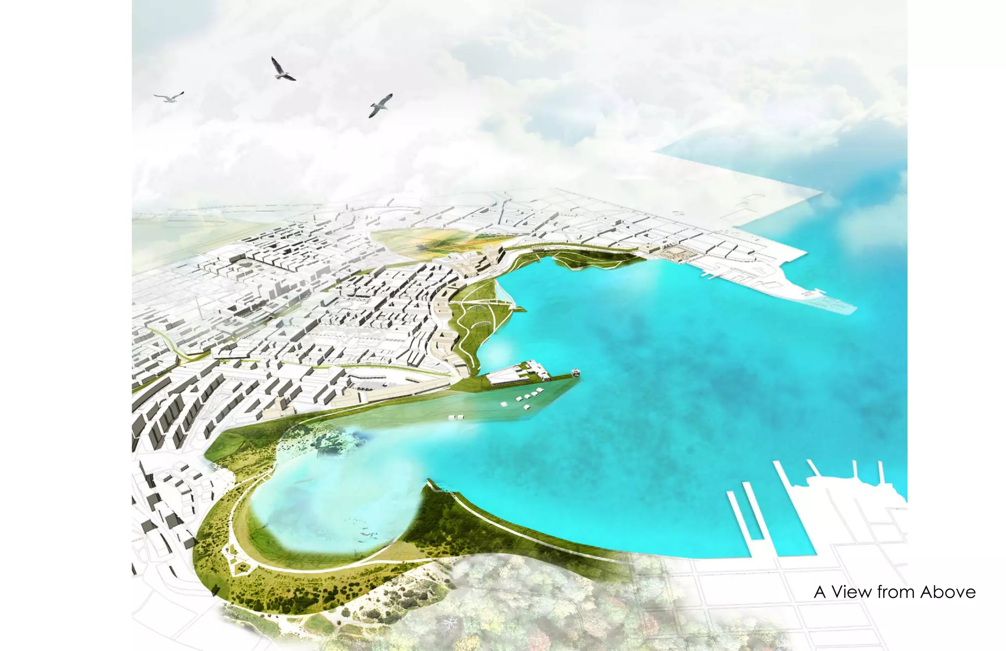
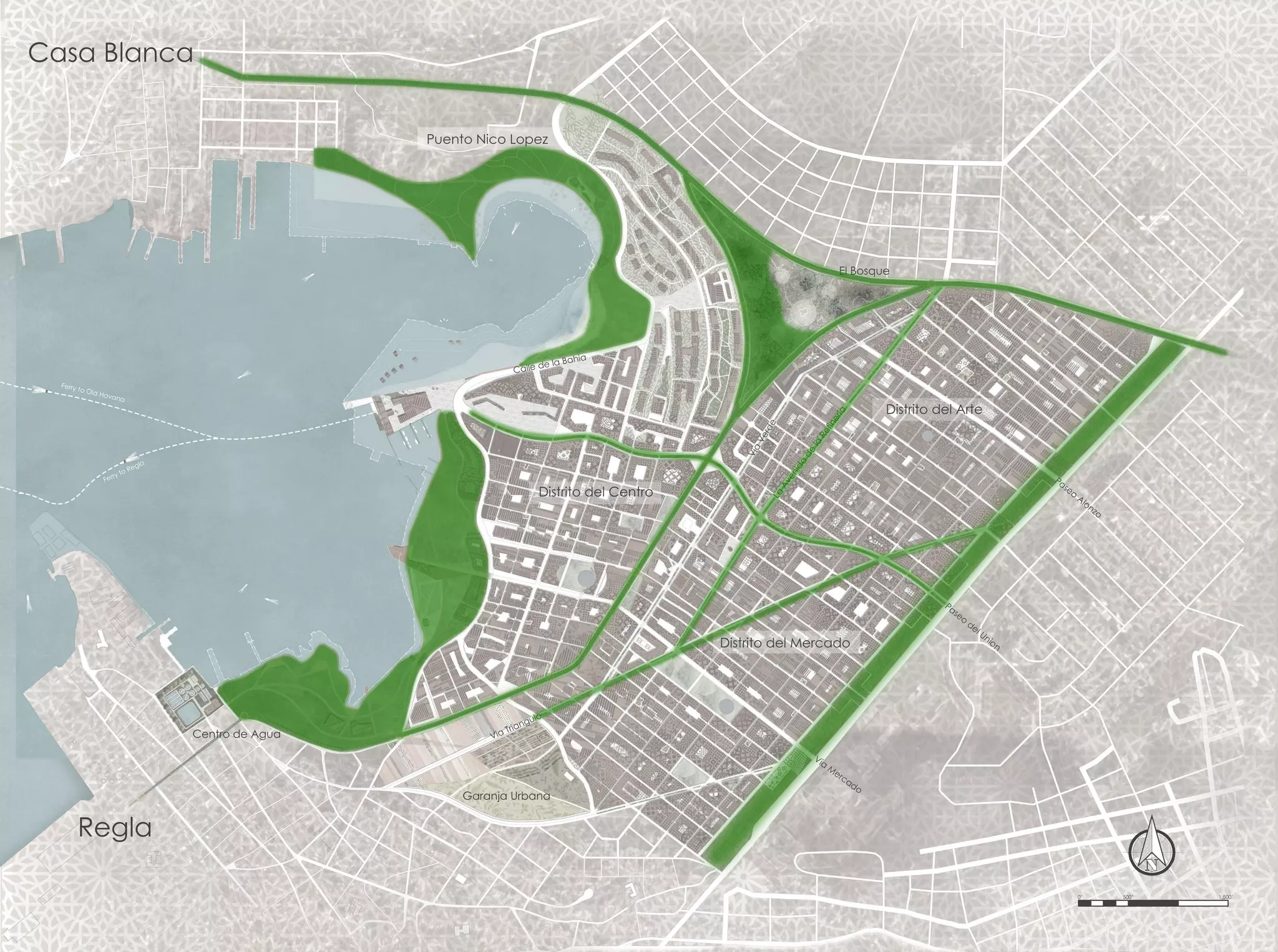
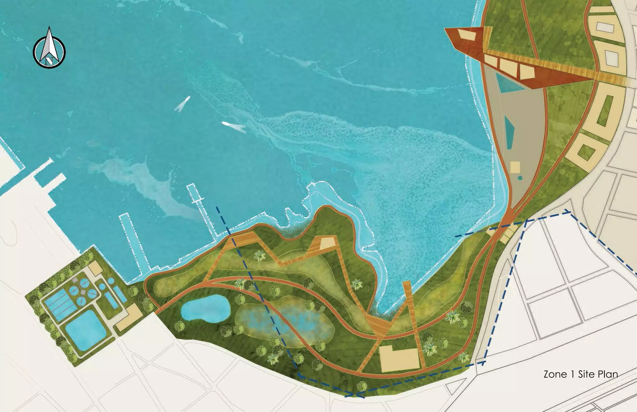
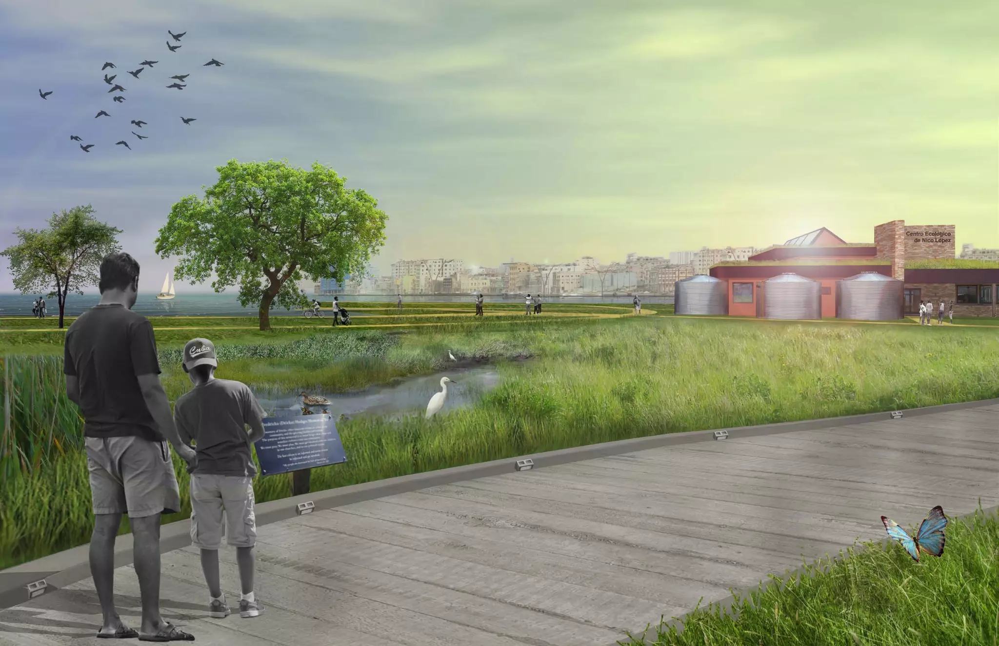

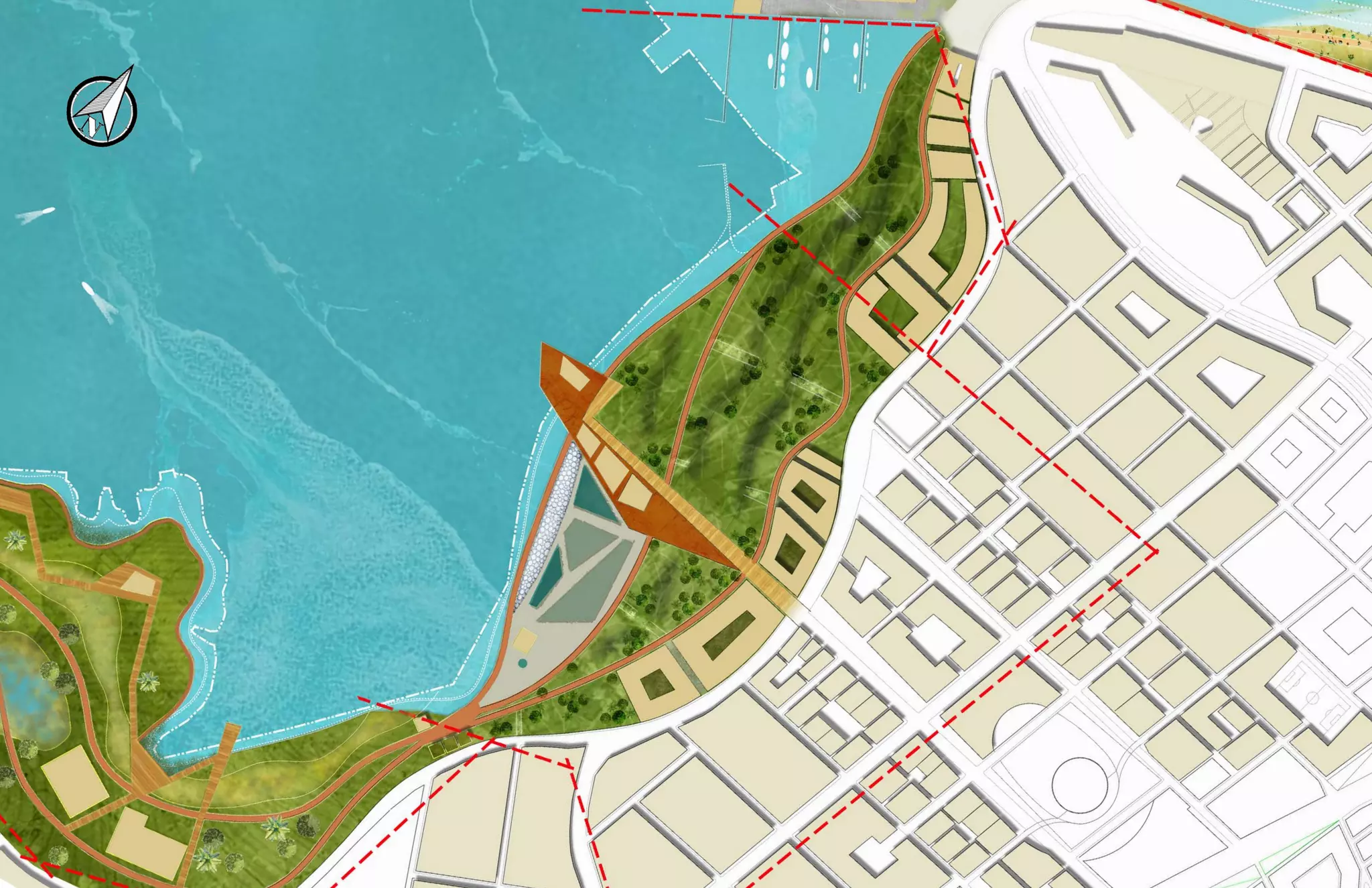

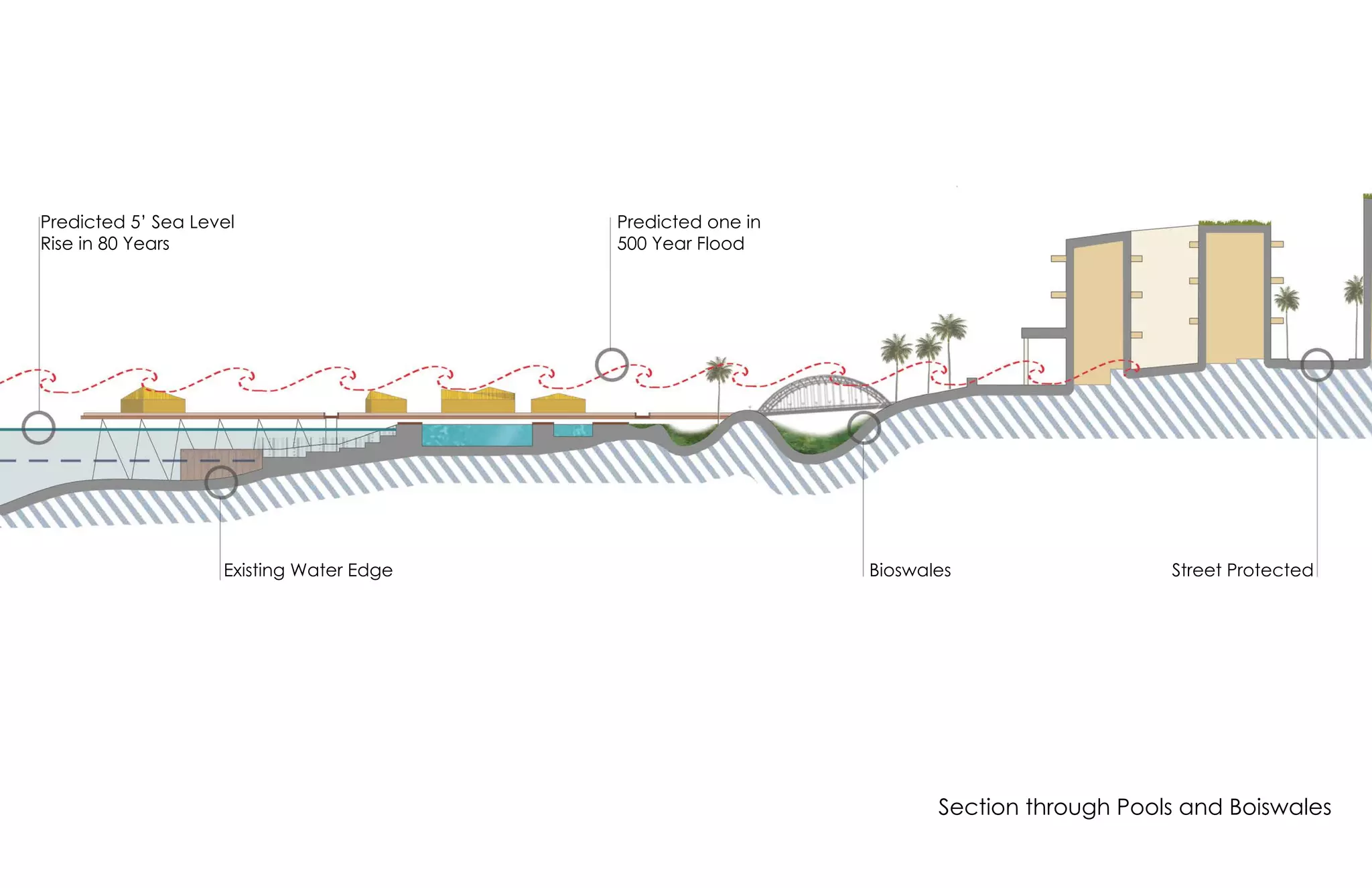
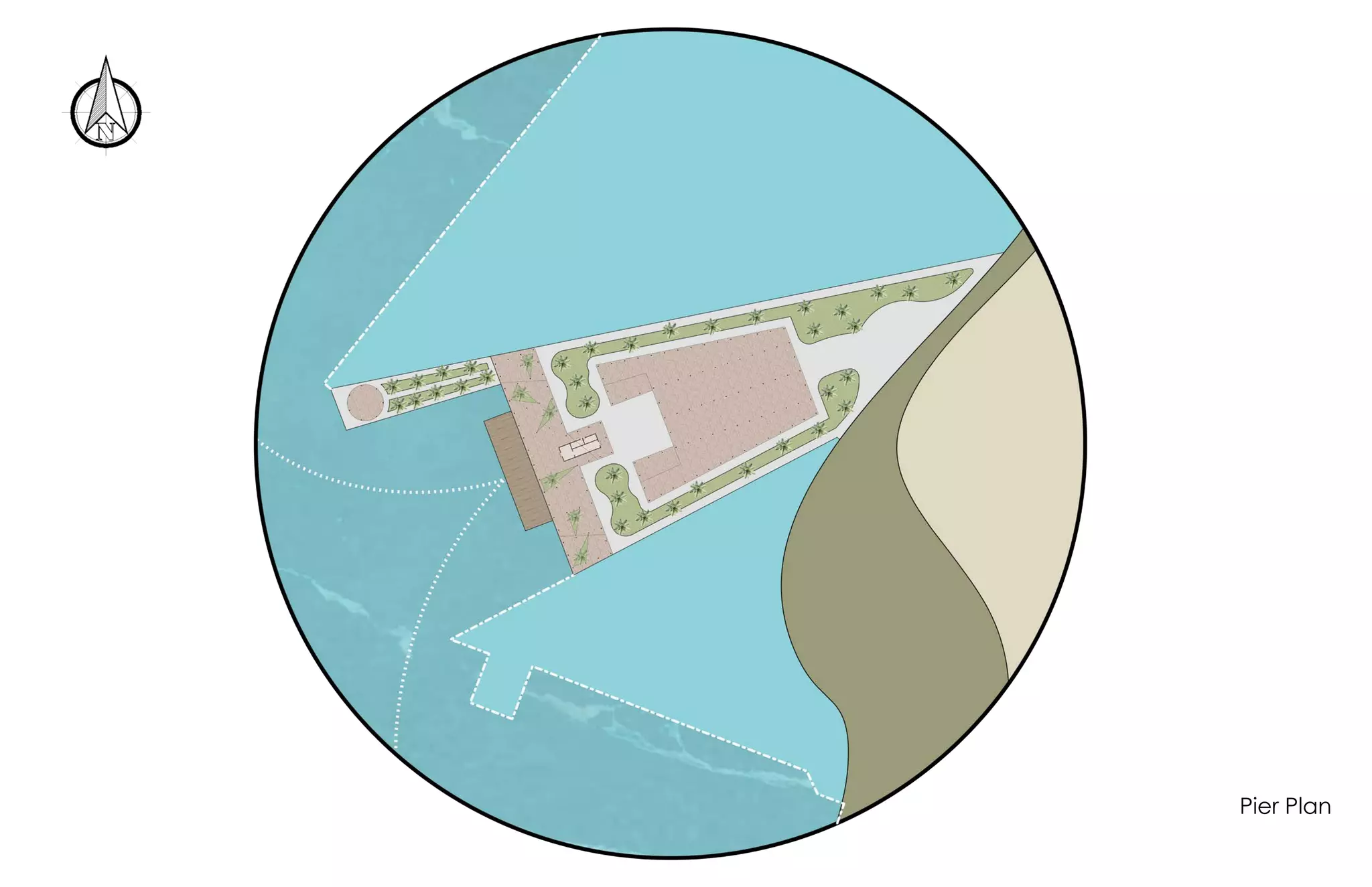
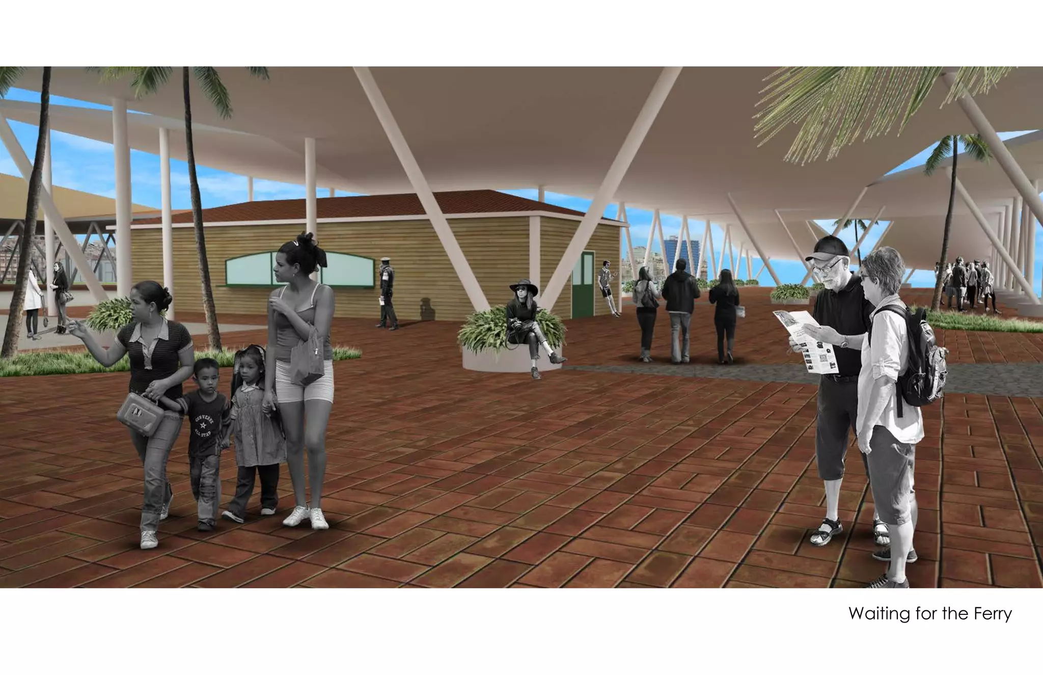
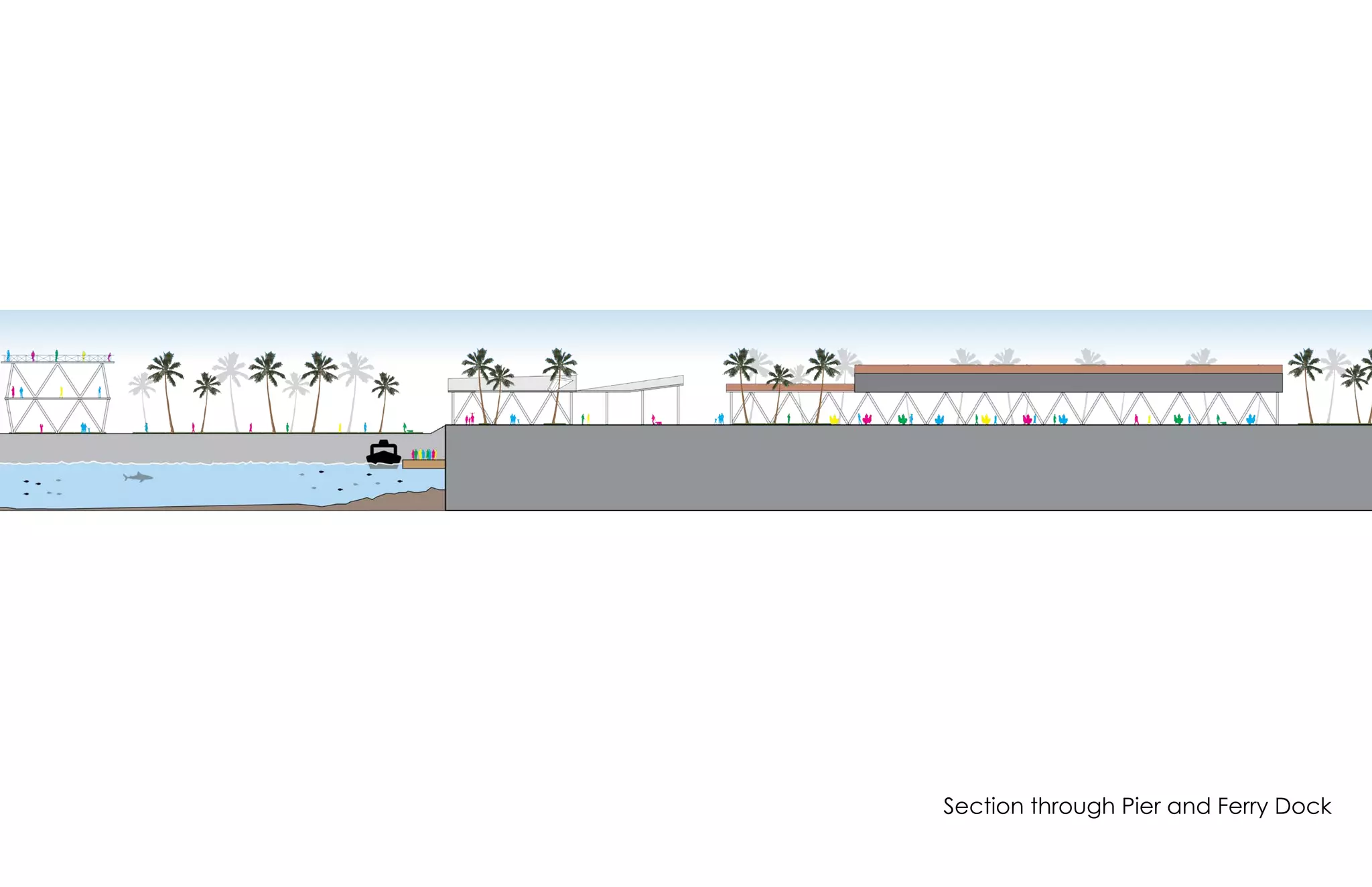
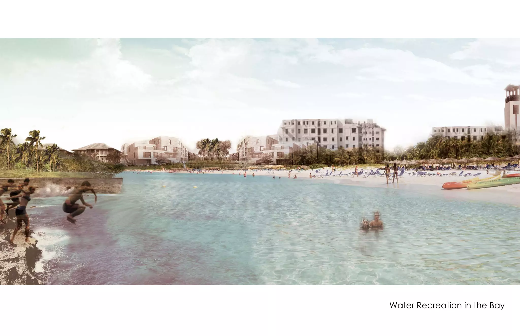
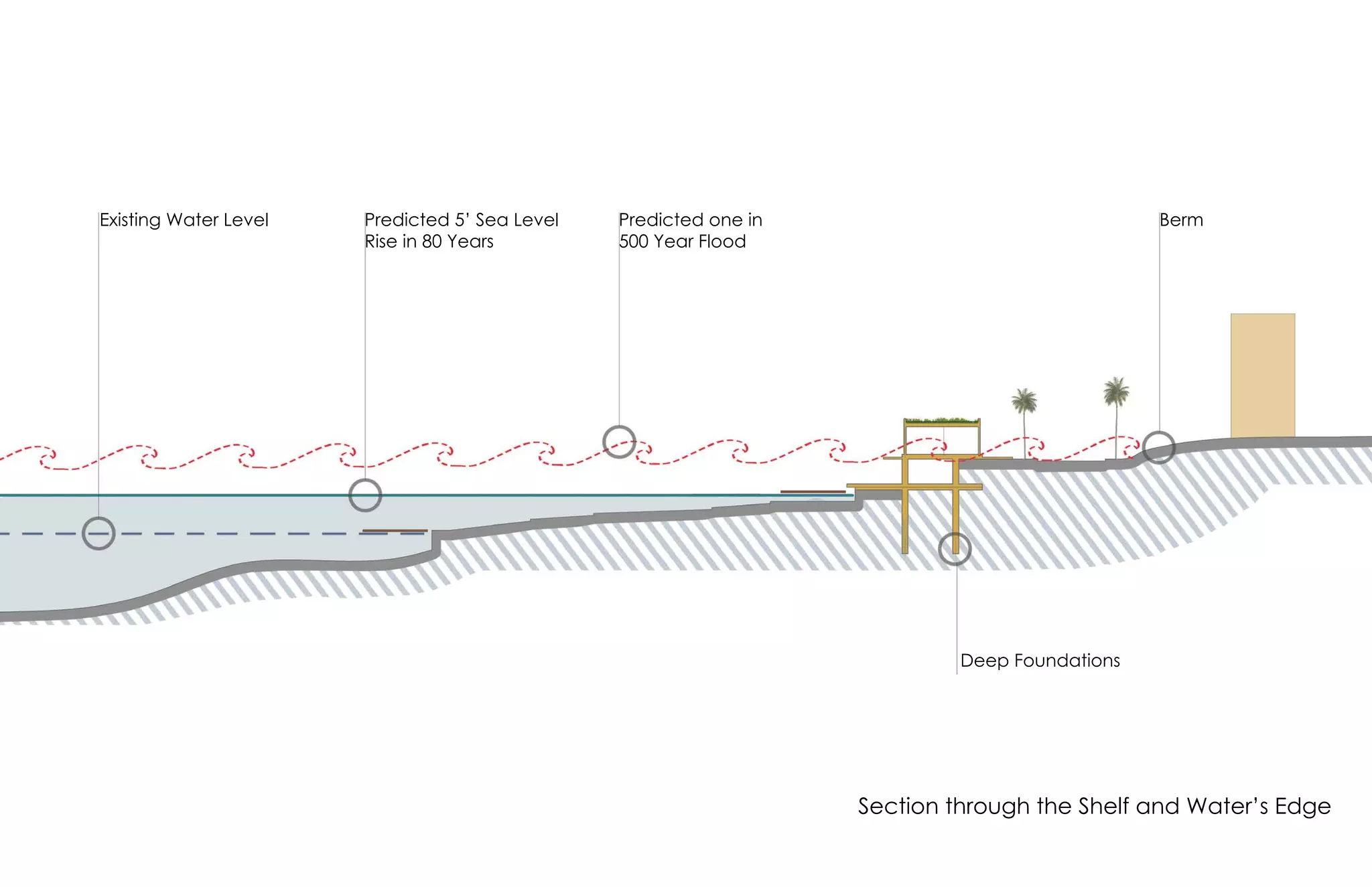
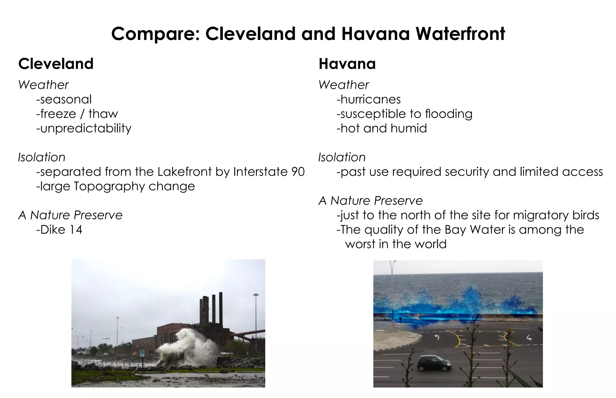


The document outlines a waterfront development project aimed at creating a resilient coastline with habitats for birds and fish, recreational areas, and infrastructure such as a marina and water treatment center. It discusses the impacts of predicted sea level rise and flooding, comparing challenges faced by Cleveland and Havana regarding their waterfronts. The project emphasizes the importance of nature preserves and highlights existing environmental concerns in the bay.