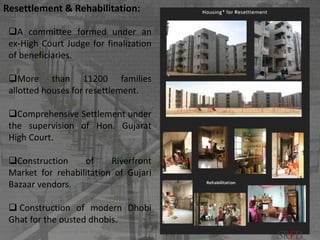
Downloaded 1,561 times
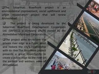
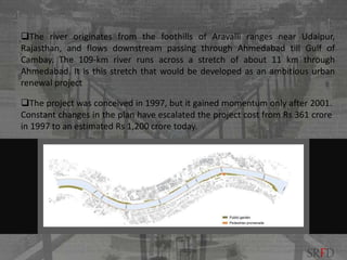
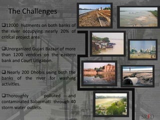
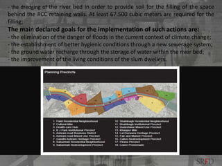
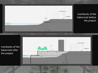
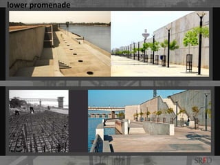
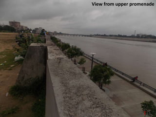
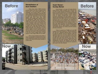
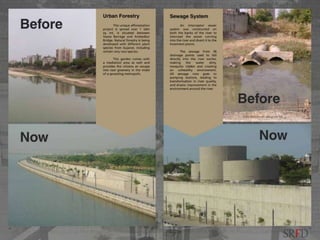
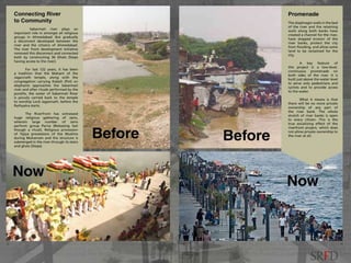
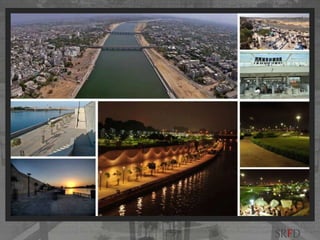
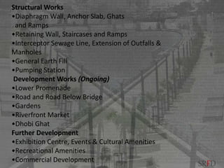
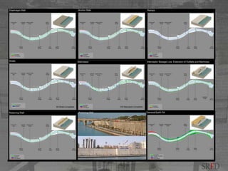


The Sabarmati Riverfront project in Ahmedabad, India aims to reclaim the river banks as public space and restore the city's relationship with the river. It involves reducing the river width, constructing walls to prevent erosion and flooding, and interceptor sewers to prevent waste from flowing into the river. The project also resettled over 11,000 families from the river banks and rehabilitated vendors and laundries displaced by the project. Work began in 2005 and includes developing promenades, gardens, markets and other public amenities along the 9km stretch of the river passing through the city.


![REIMAGINING RIVER EDGES - Vaigai [Autosaved].pptx](https://cdn.slidesharecdn.com/ss_thumbnails/reimaginingriveredges-vaigaiautosaved-260116191844-044ef58c-thumbnail.jpg?width=640&height=640&fit=bounds)


