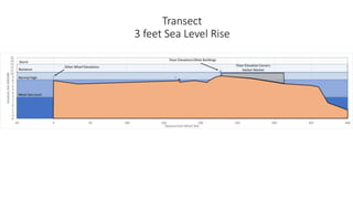
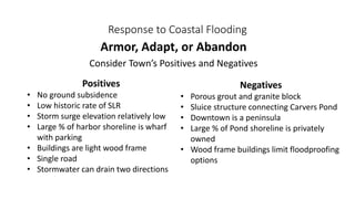
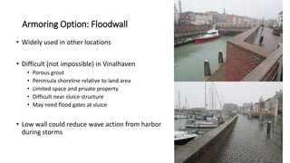
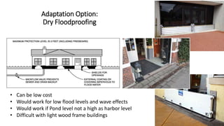
Download to read offline

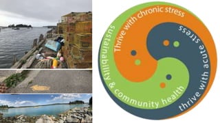


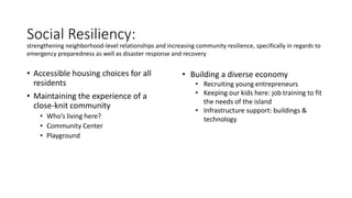
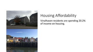
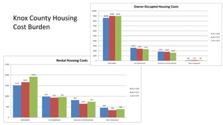
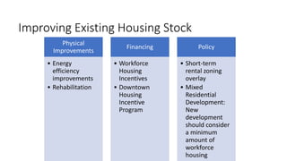
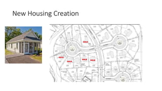


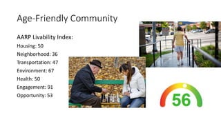
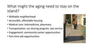


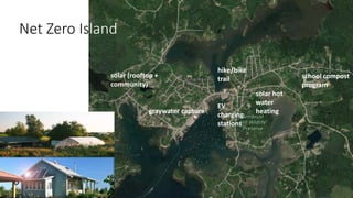

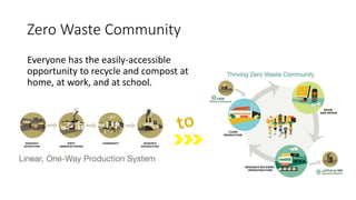
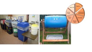


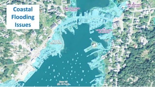
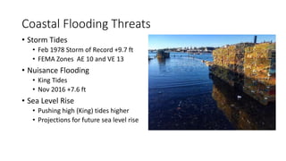
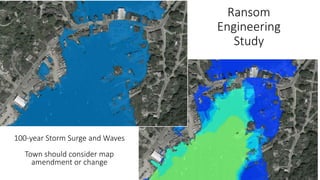
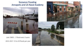
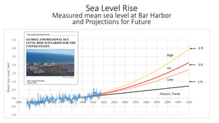


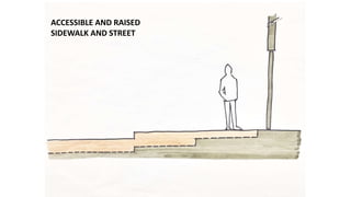
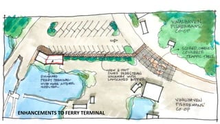
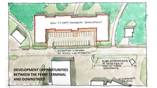

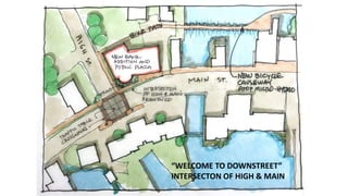


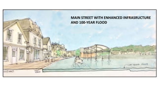


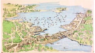
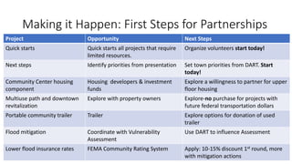
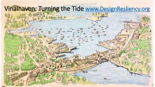

The 'Vinalhaven: Turning the Tide' document outlines strategies for enhancing the community’s resilience against coastal flooding and improving social and economic conditions. Key recommendations include developing accessible housing, strengthening community relationships, and adapting infrastructure to address rising sea levels. Furthermore, the document emphasizes the importance of sustainable development, job training, and partnership opportunities to support long-term revitalization efforts.


