Download to read offline

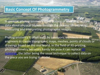
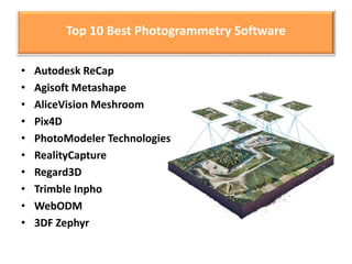
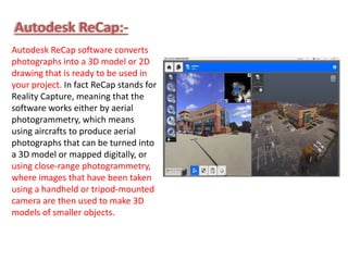


Photogrammetry is the science of collecting data about physical objects through photographic images, often used by professionals like surveyors and architects. Various software tools for photogrammetry include Autodesk Recap, Agisoft Metashape, and Pix4D, each offering unique features for creating 3D models and point clouds. The technology serves as an alternative to 3D scanning, enabling the reconstruction of models from images, requiring significant overlapping of photographs for accuracy.