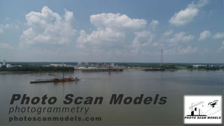
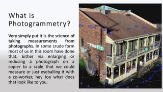
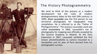
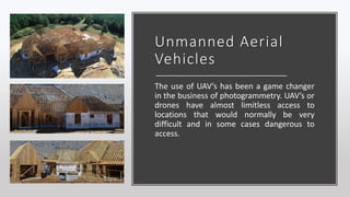
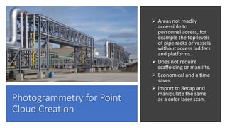
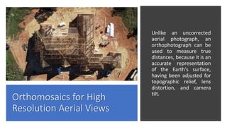
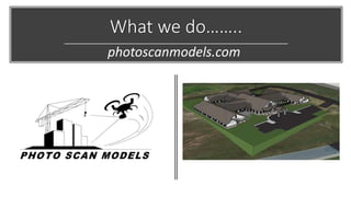
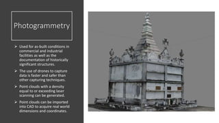
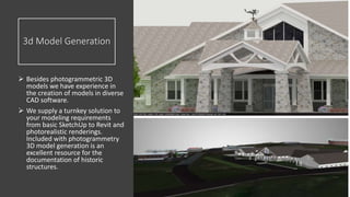
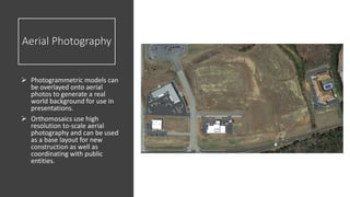
Photogrammetry is the science of taking measurements from photographs. It has roots in the mid-19th century but recent advances in technology, including inexpensive cameras, drones, and data storage, have advanced the field. Photogrammetry can now be used to create accurate 3D models and point clouds of structures from drone imagery, providing data in areas that were previously difficult or dangerous to access. The company described offers photogrammetry services using drones to capture data for industrial sites, with licensed pilots and experience capturing 3D models, orthomosaics, and aerial photos to document structures.