Download to read offline


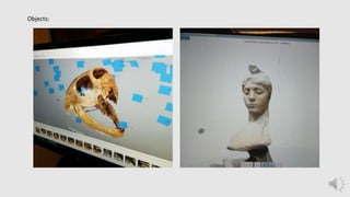
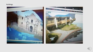
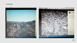
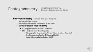
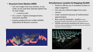
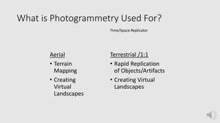
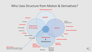


This document provides an overview of photogrammetry, which is the process of using photographs to measure and survey objects and landscapes. It discusses different types of photogrammetry like stereography and structure from motion (SfM). SfM uses photographs to build 3D models and can be used with images from any camera. The document also outlines common uses of photogrammetry in fields like geology, archaeology, and engineering. It provides guidance on capturing images for photogrammetry projects of objects, buildings, and interiors.


