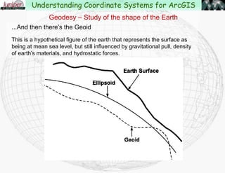
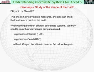
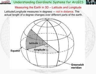
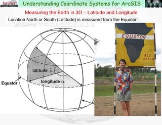
Downloaded 1,479 times

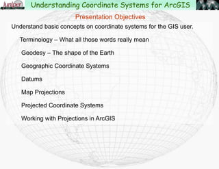
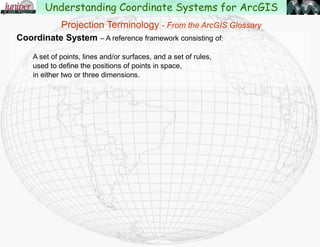
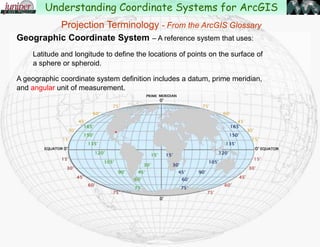

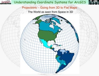
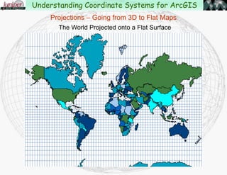
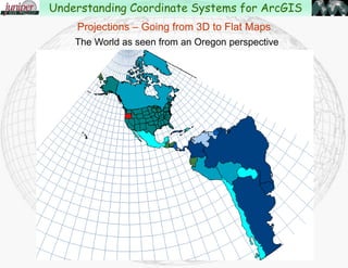
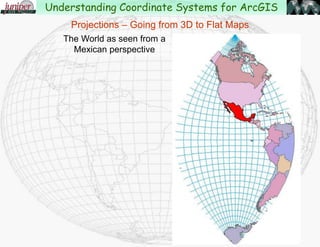
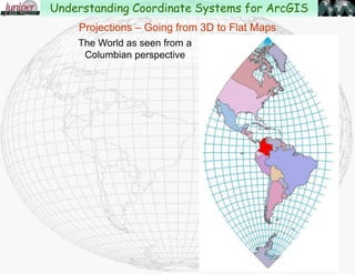
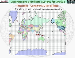
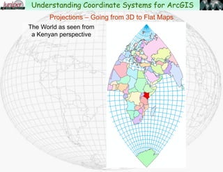
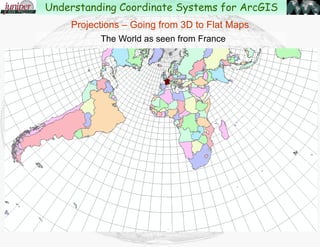
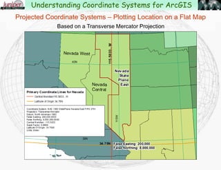
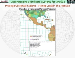
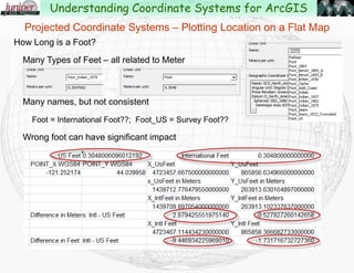
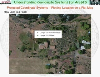
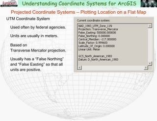
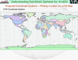
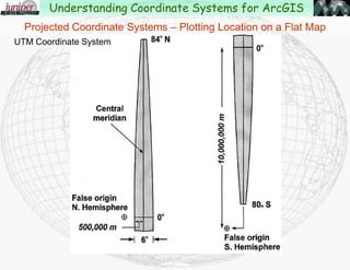
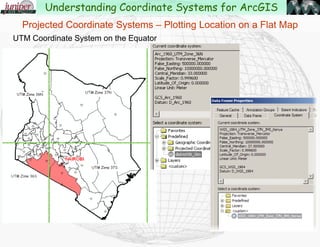
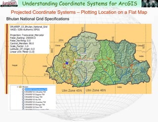
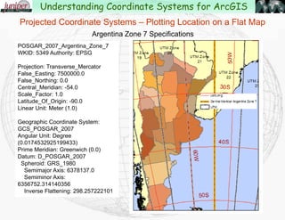
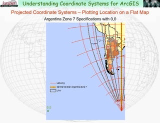
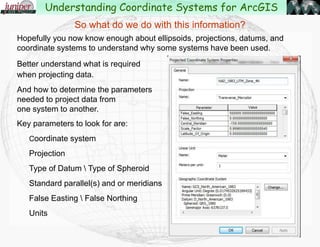
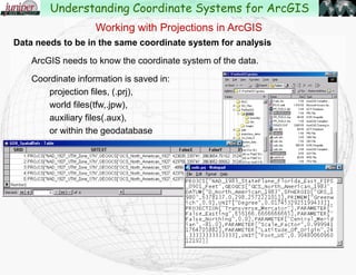
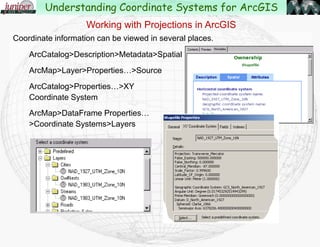
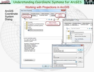
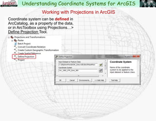
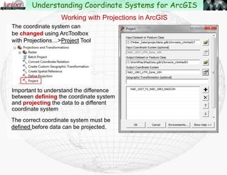
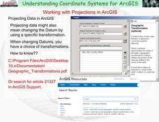
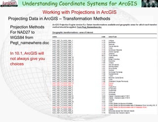
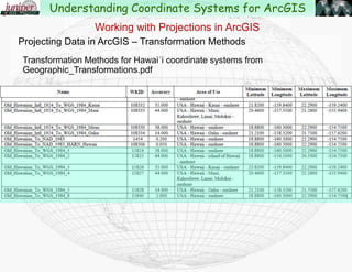

This document is a presentation by John Schaeffer from Juniper GIS Services about understanding coordinate systems for ArcGIS, covering fundamental concepts, terminology, and types of coordinate systems including geographic and projected systems. It explains datums, projections, and transformations necessary for accurate data representation and analysis in GIS. Additionally, it discusses the practical applications of coordinate systems within ArcGIS, highlighting key parameters for data projection and integration.


