What factors affect different types of weather (the whole lesson)
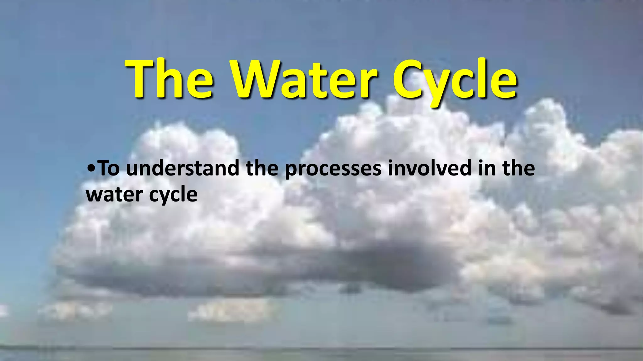
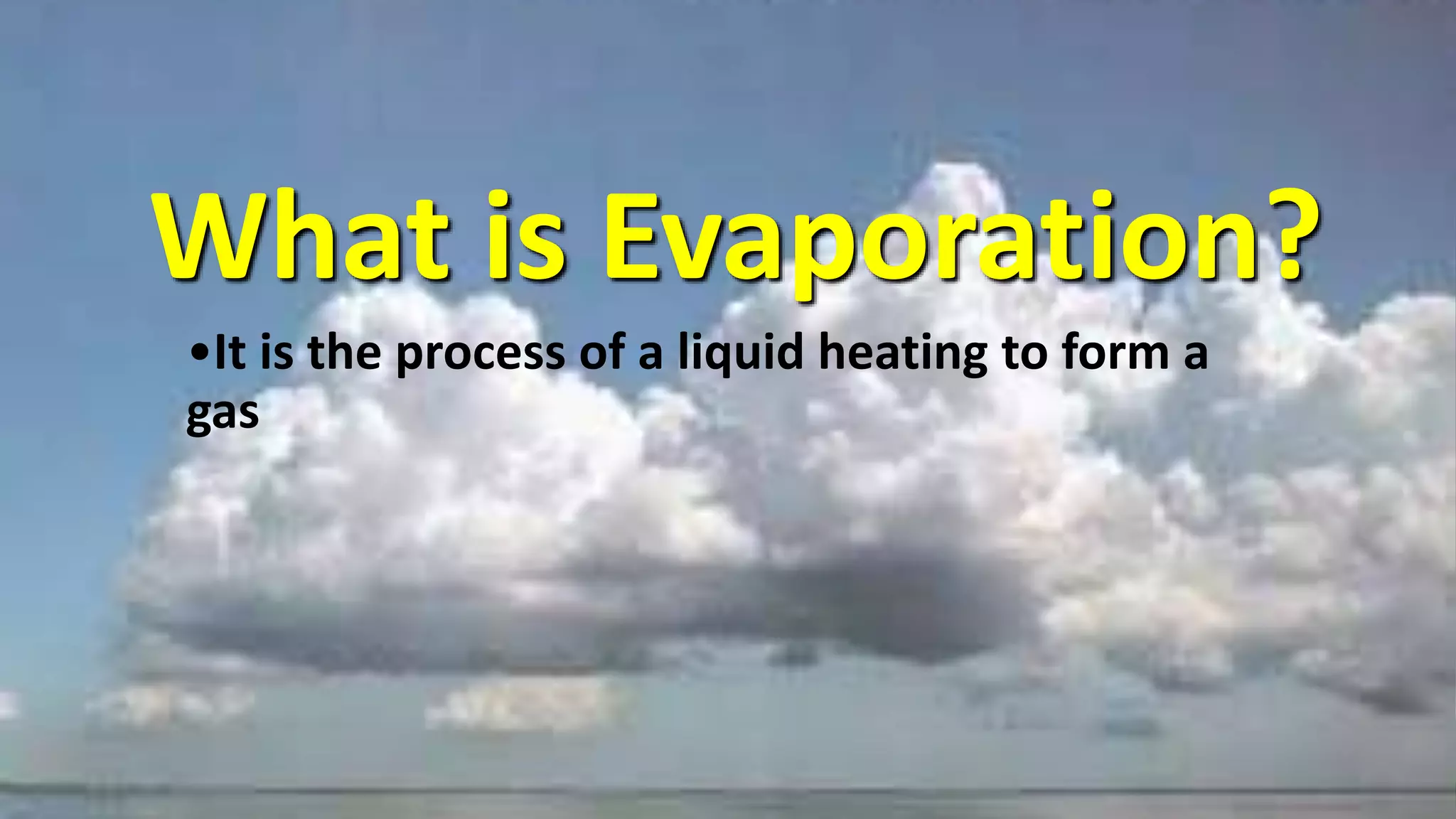
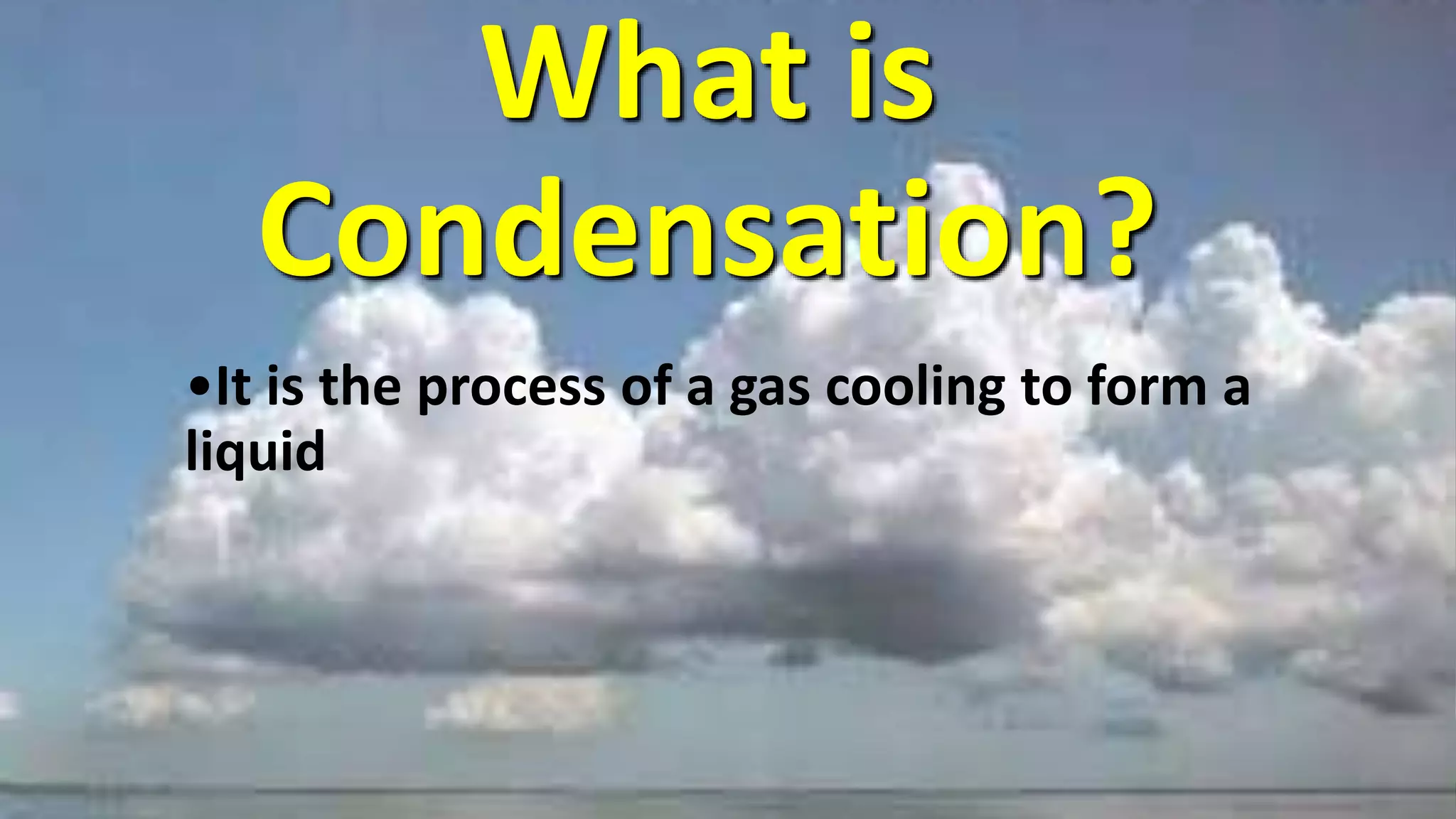
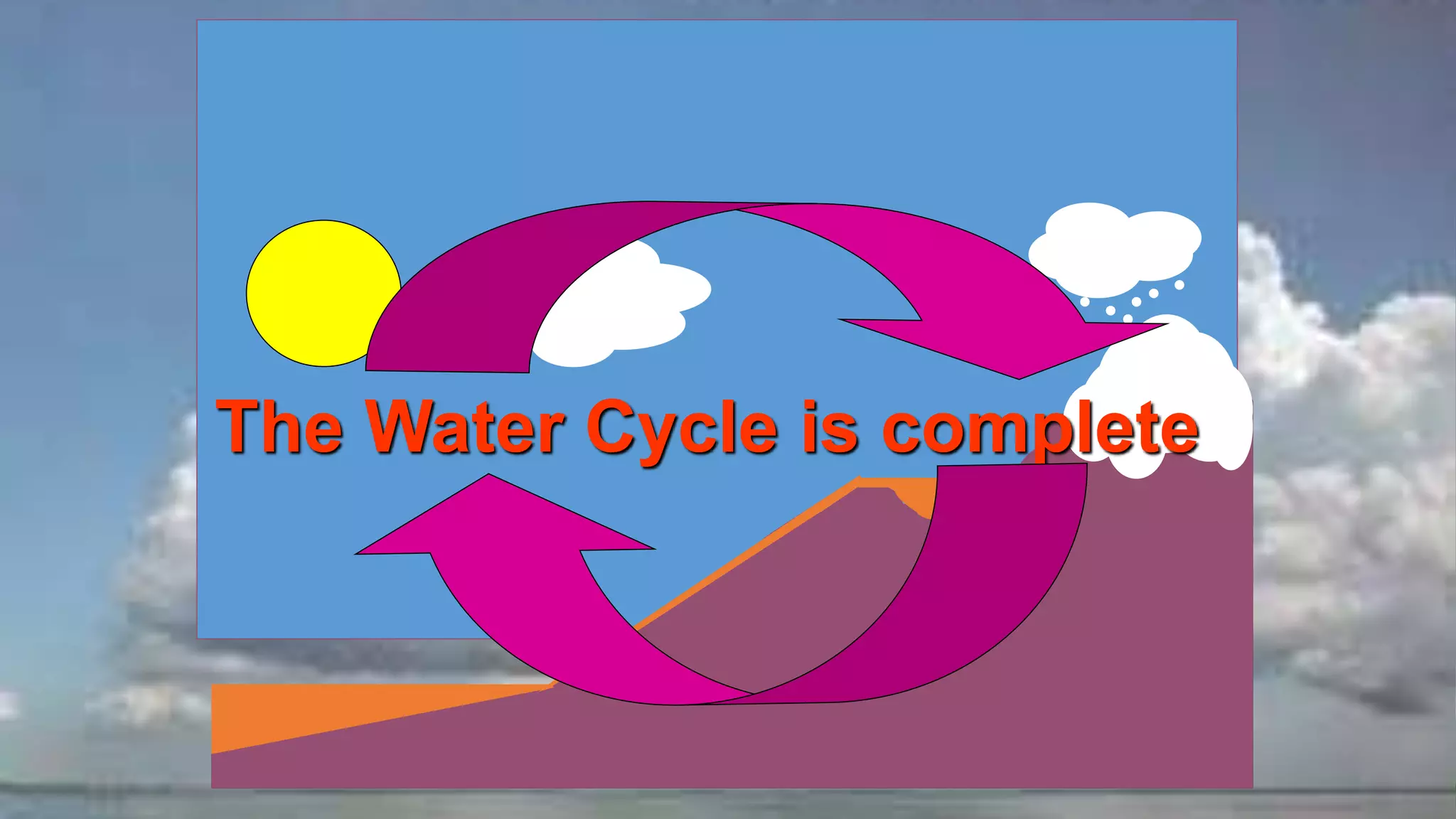
The document describes the water cycle, which is the continuous movement of water on, above, and below the surface of the Earth. It explains that the sun heats water in the oceans causing evaporation into water vapor which forms clouds. As air rises, it cools and condenses into rain, snow, or other precipitation which falls back to Earth's surface and collects in lakes, rivers, and oceans - completing the cycle. The document also covers related topics like humidity, cloud types, precipitation types, thunderstorms, tornadoes, and hurricanes.
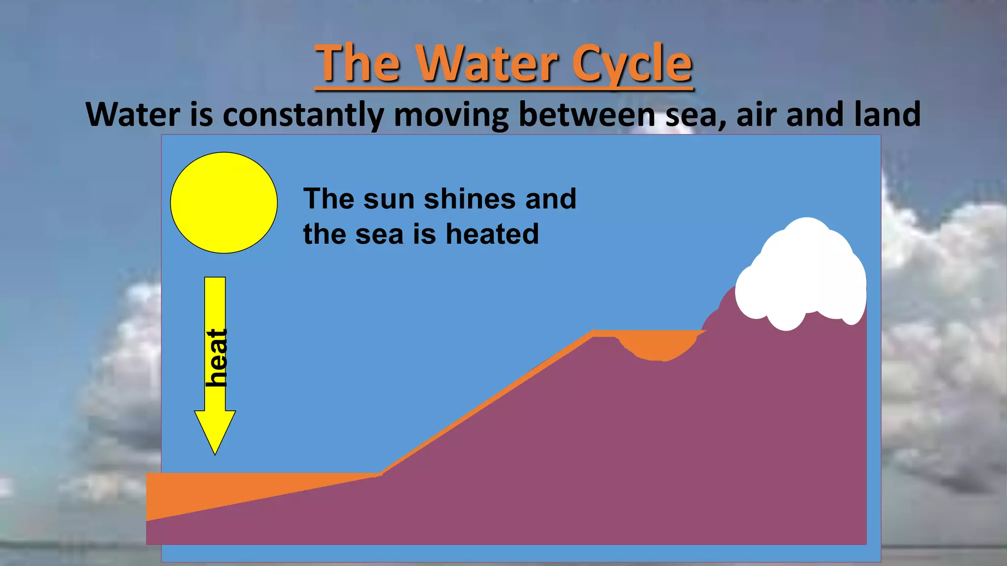
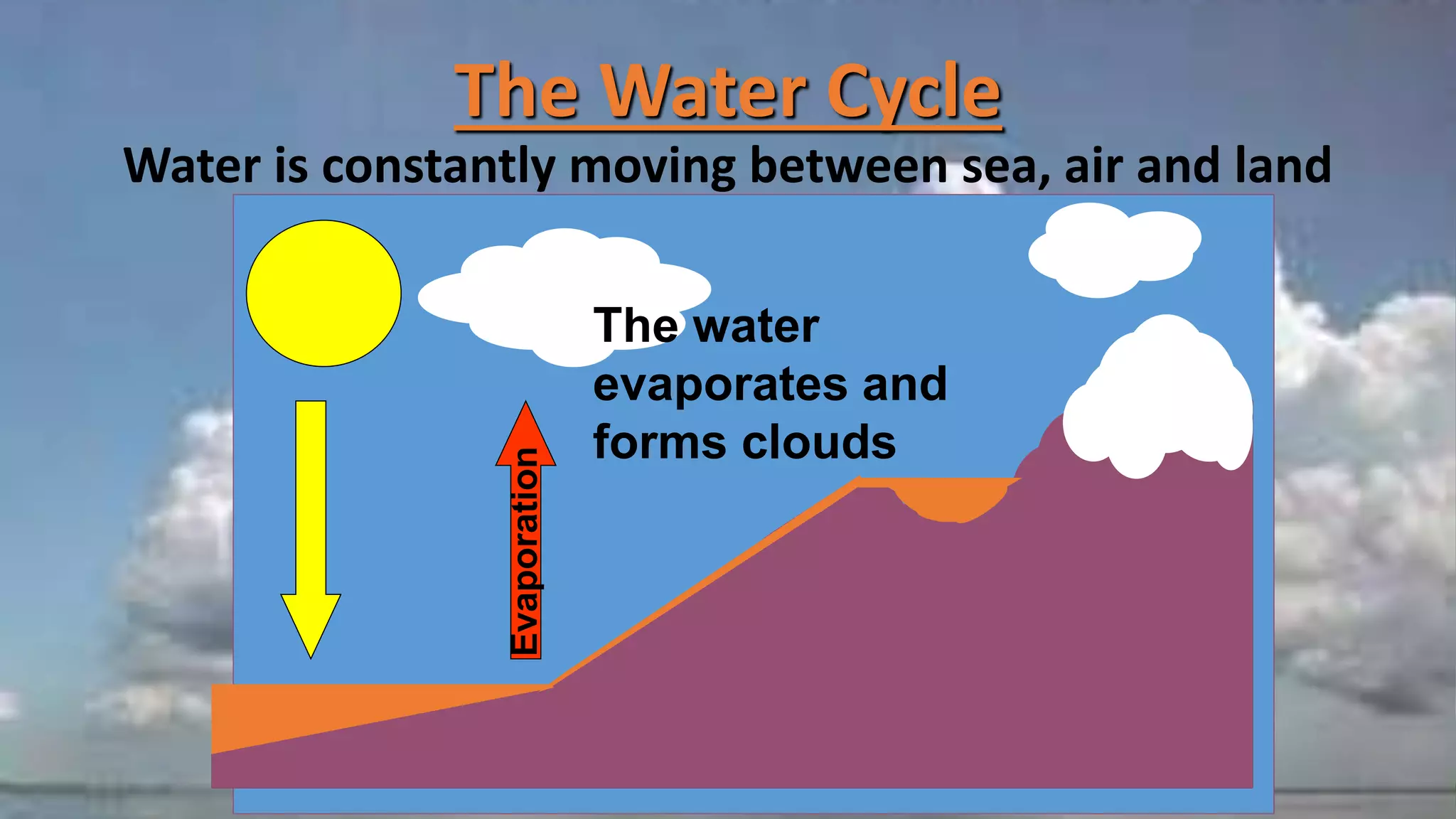
The Water Cycle
Wateris constantly moving between sea, air and land
The sun shines and
the sea is heated
heat
5.
The Water Cycle
Wateris constantly moving between sea, air and land
Evaporation
The water
evaporates and
forms clouds
6.
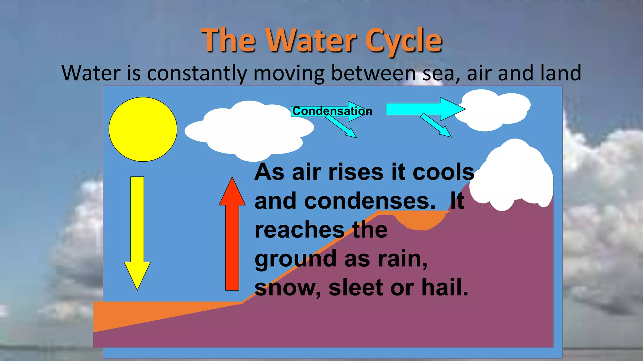
The Water Cycle
Wateris constantly moving between sea, air and land
Condensation
As air rises it cools
and condenses. It
reaches the
ground as rain,
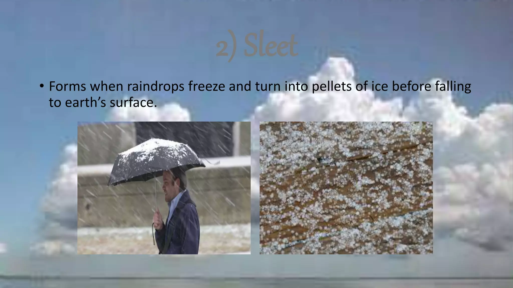
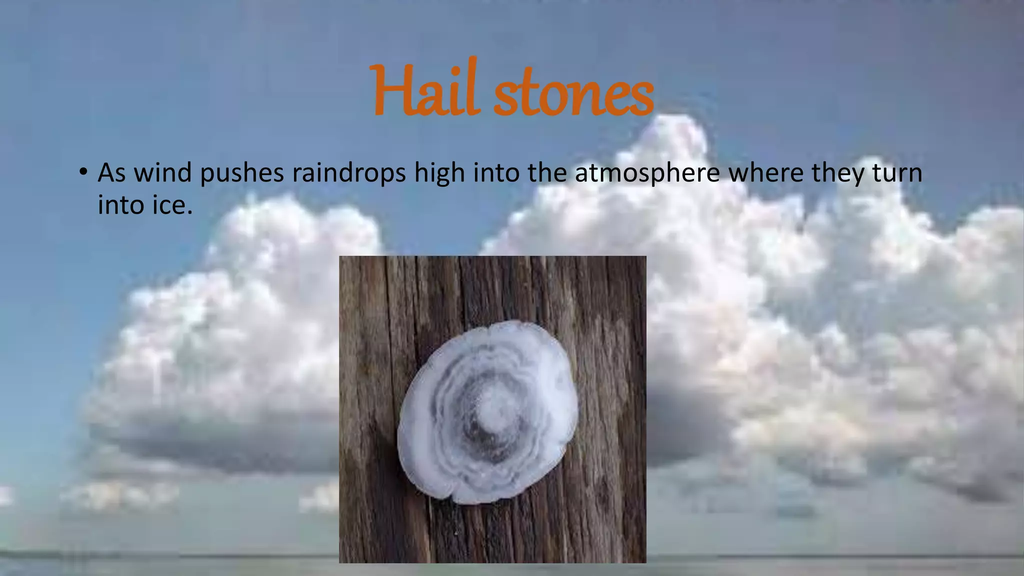
snow, sleet or hail.
7.
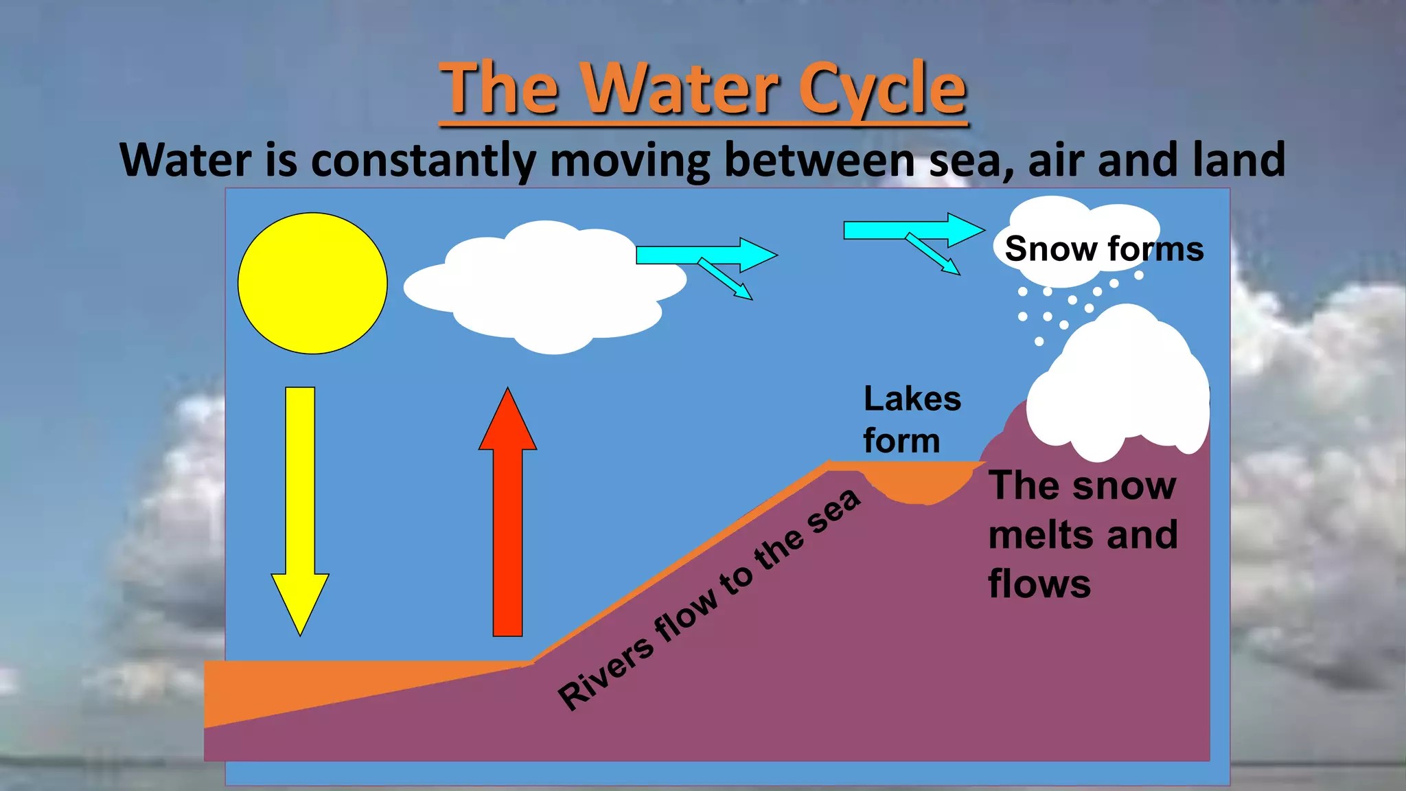
The Water Cycle
Wateris constantly moving between sea, air and land
The snow
melts and
flows
Lakes
form
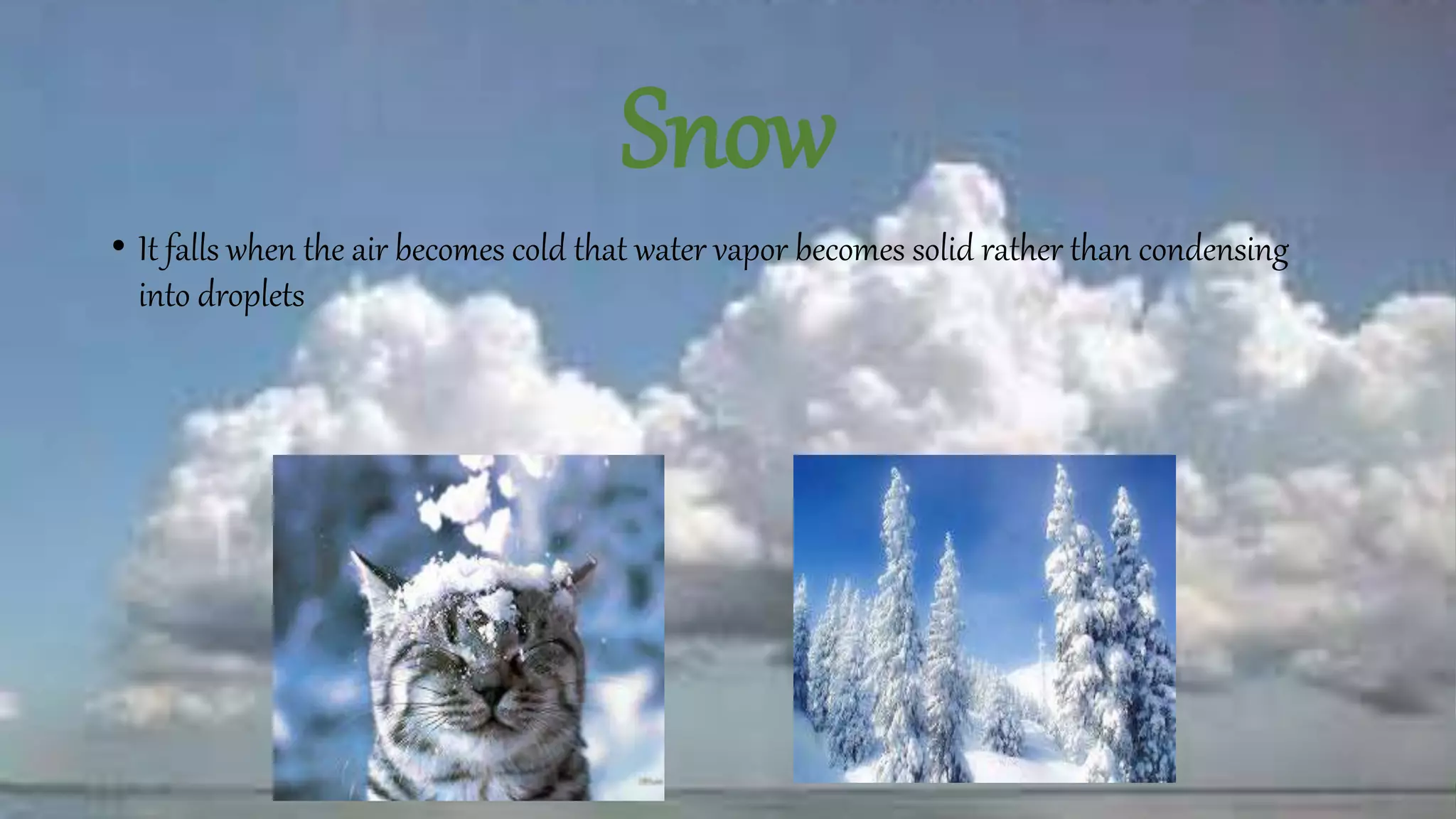
Snow forms
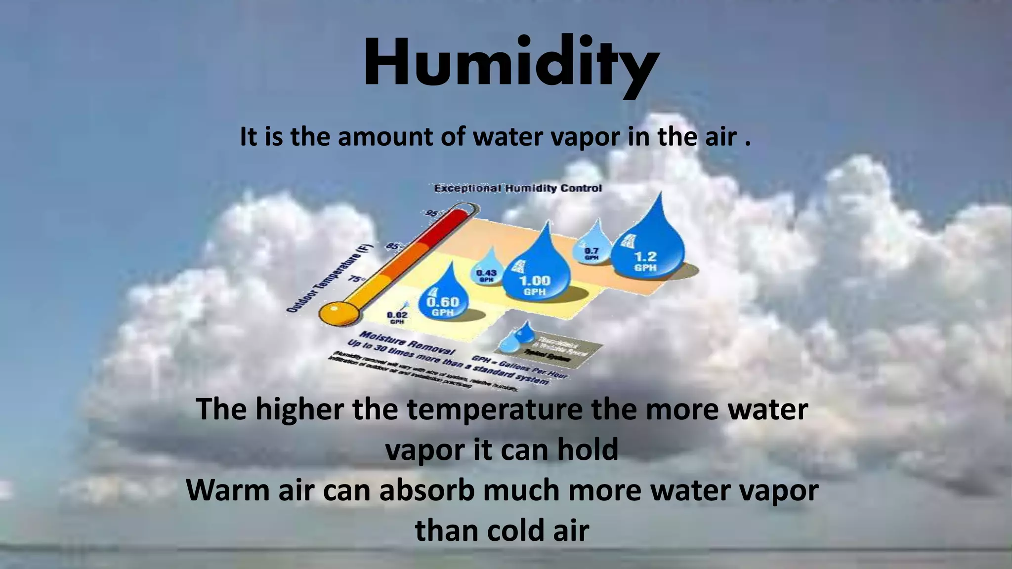
Humidity
It is theamount of water vapor in the air .
The higher the temperature the more water
vapor it can hold
Warm air can absorb much more water vapor
than cold air
11.
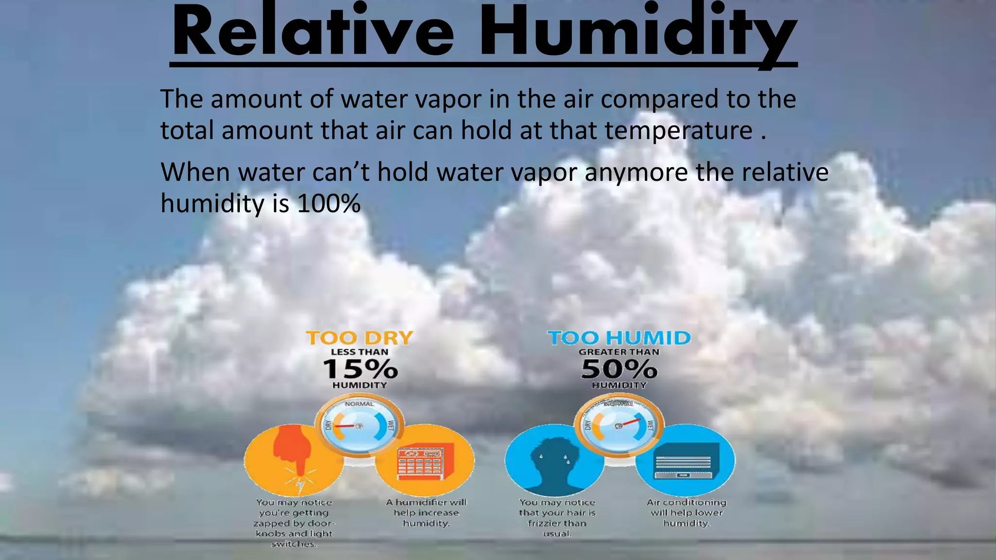
Relative Humidity
The amountof water vapor in the air compared to the
total amount that air can hold at that temperature .
When water can’t hold water vapor anymore the relative
humidity is 100%
12.
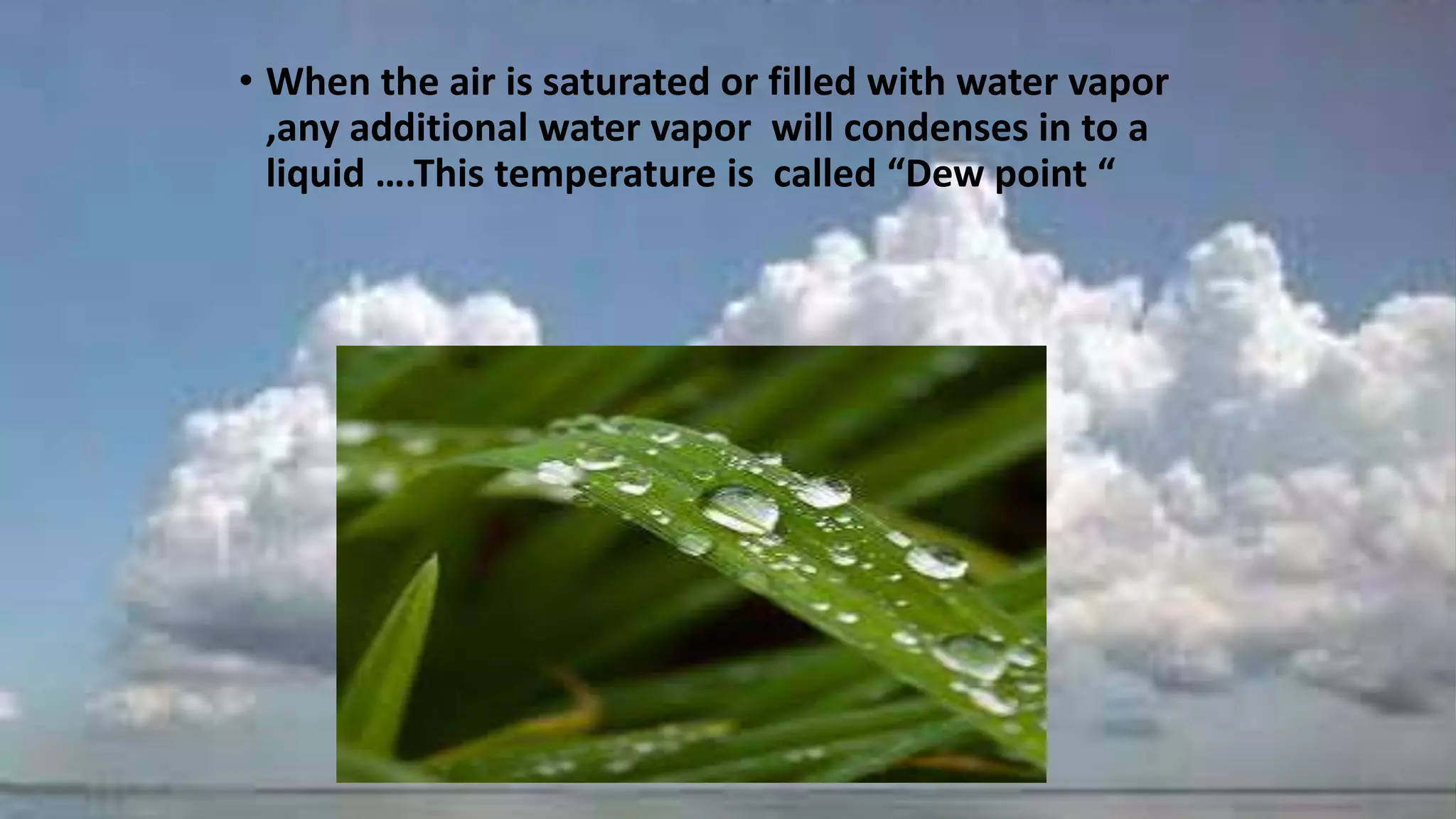
• When theair is saturated or filled with water vapor
,any additional water vapor will condenses in to a
liquid ….This temperature is called “Dew point “
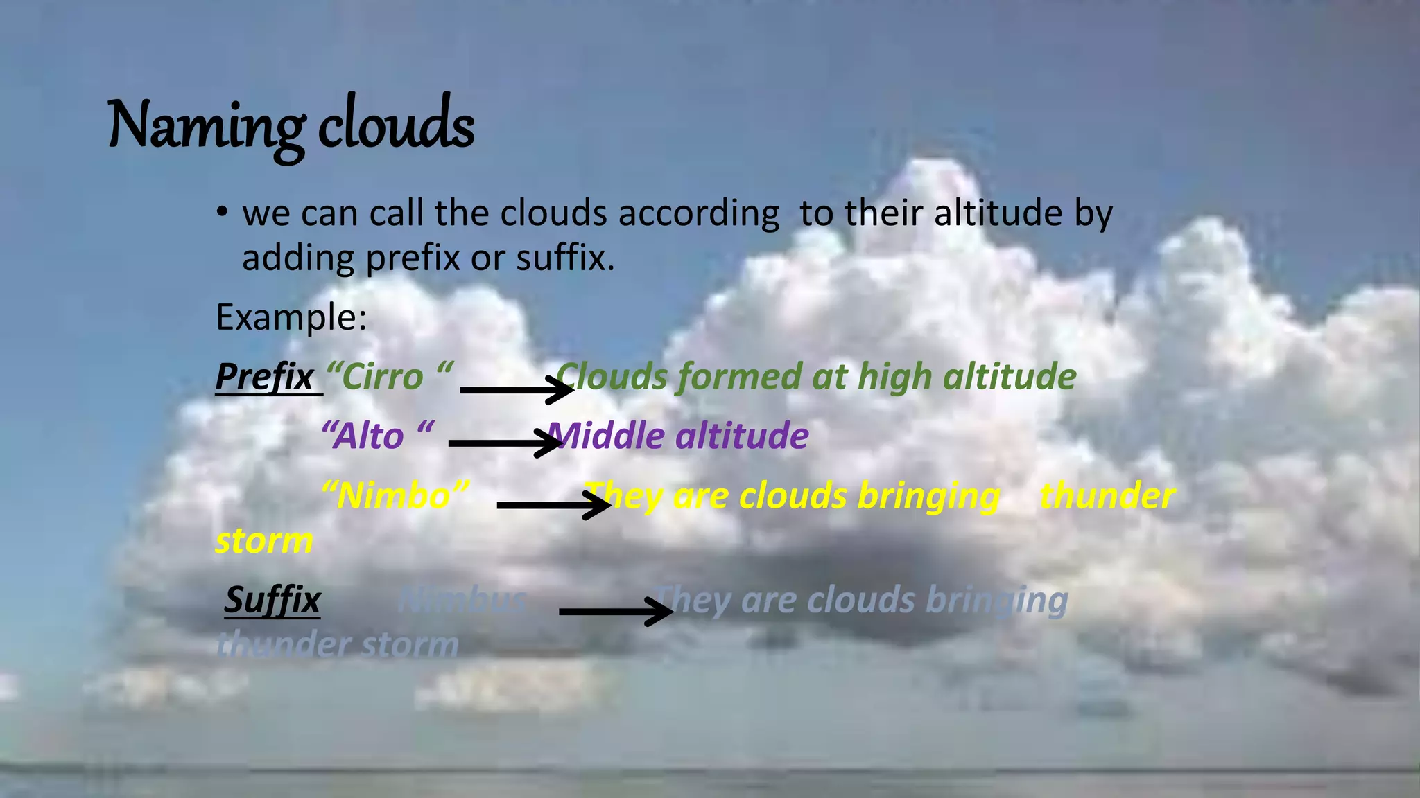
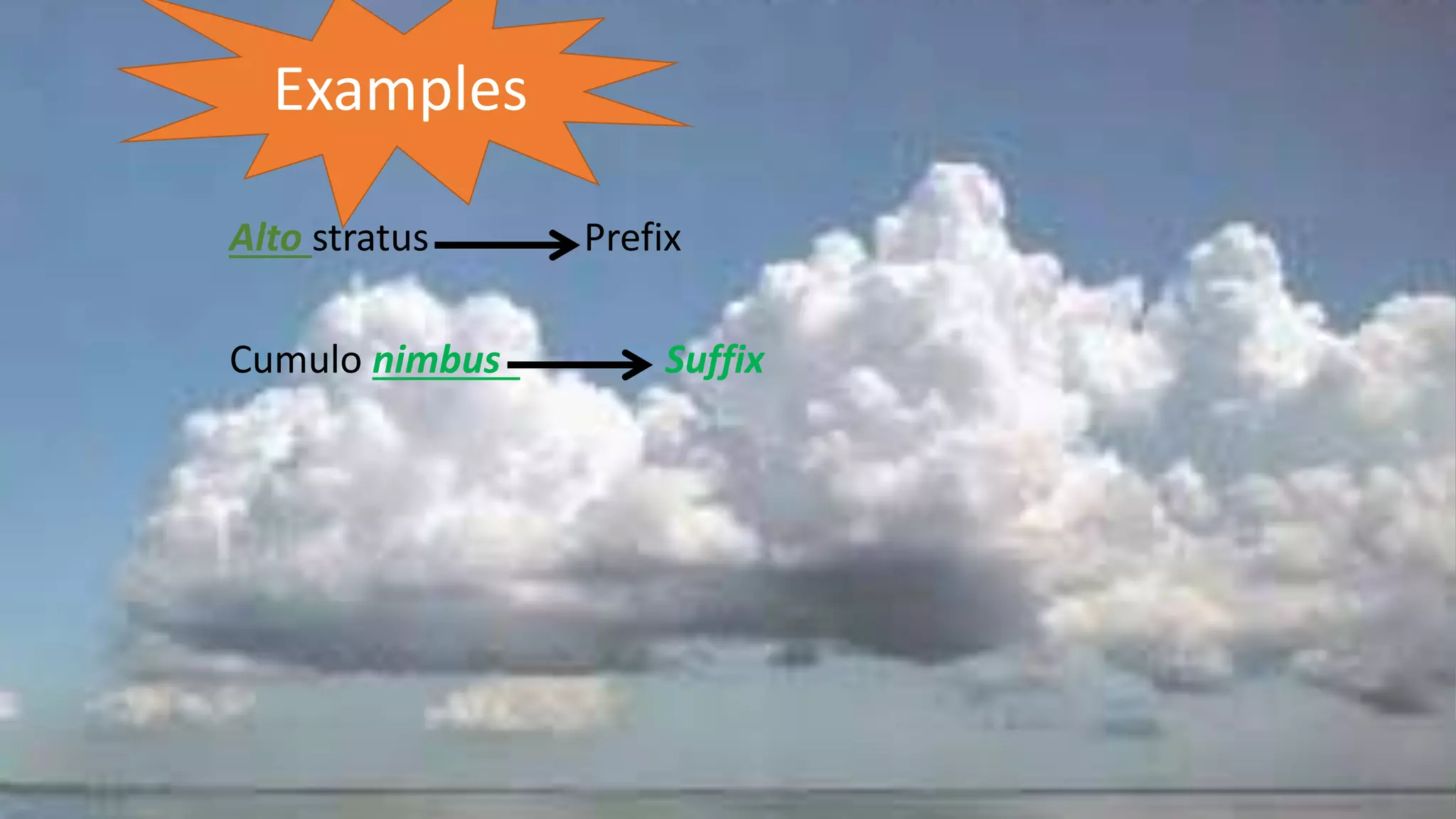
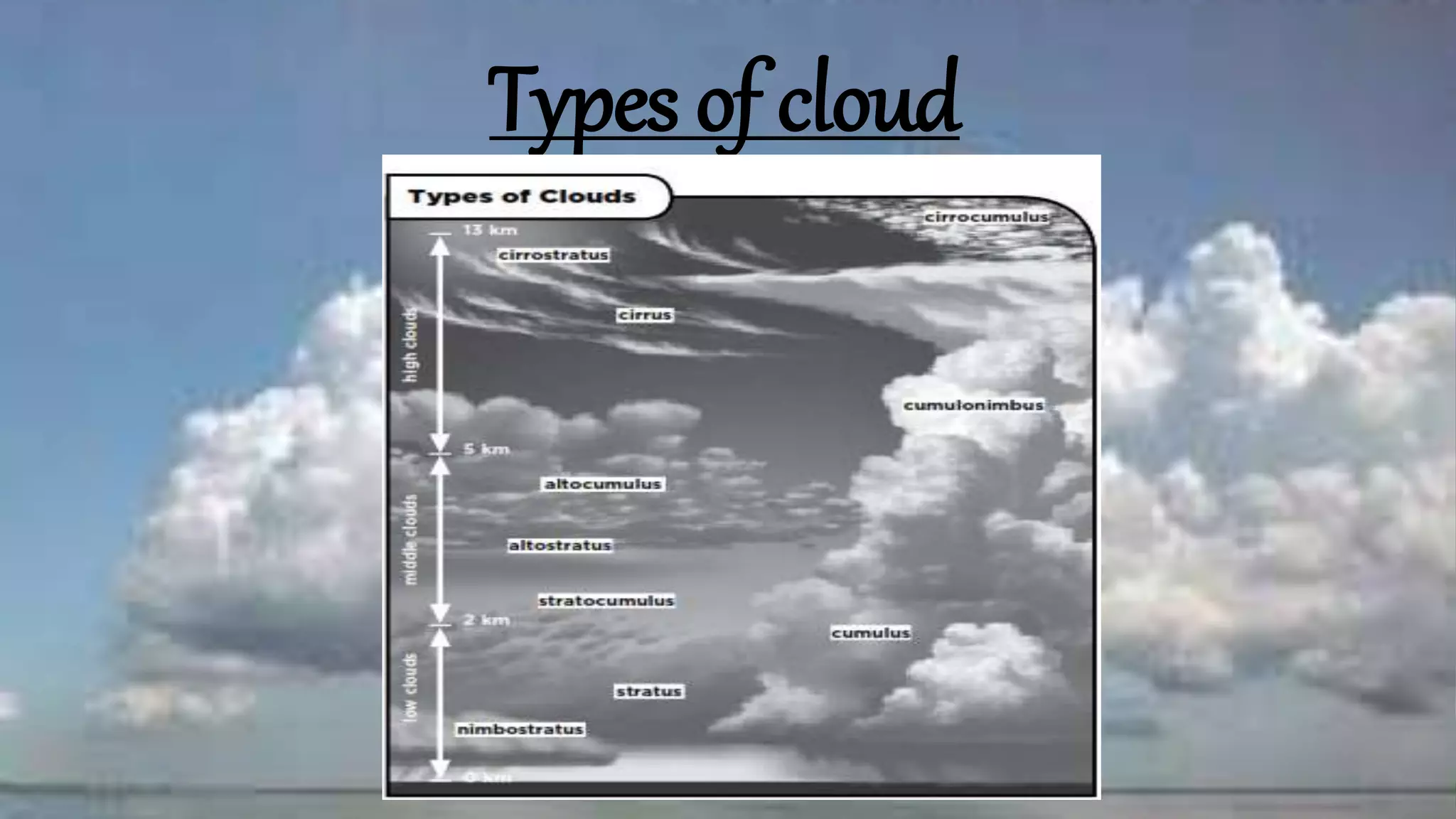
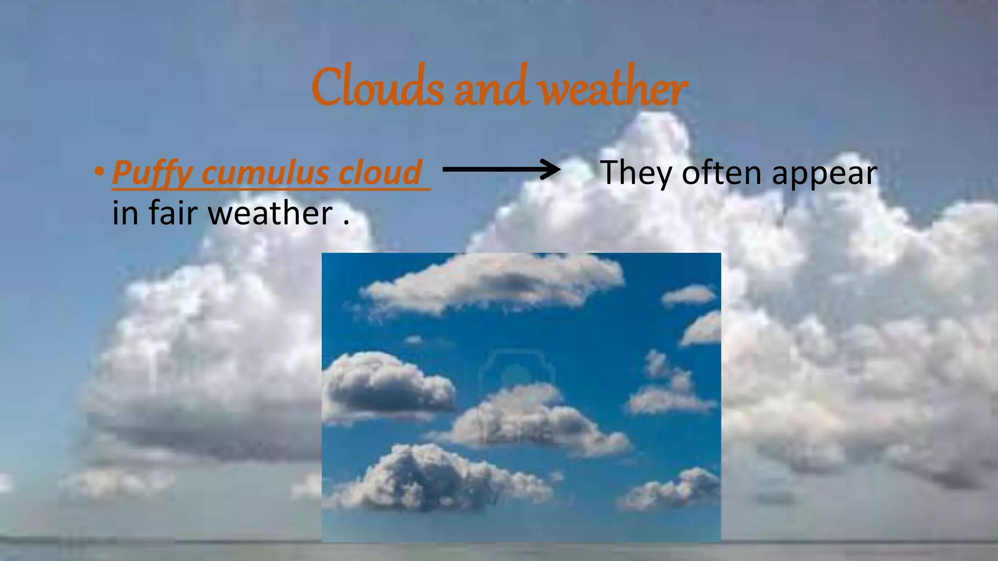
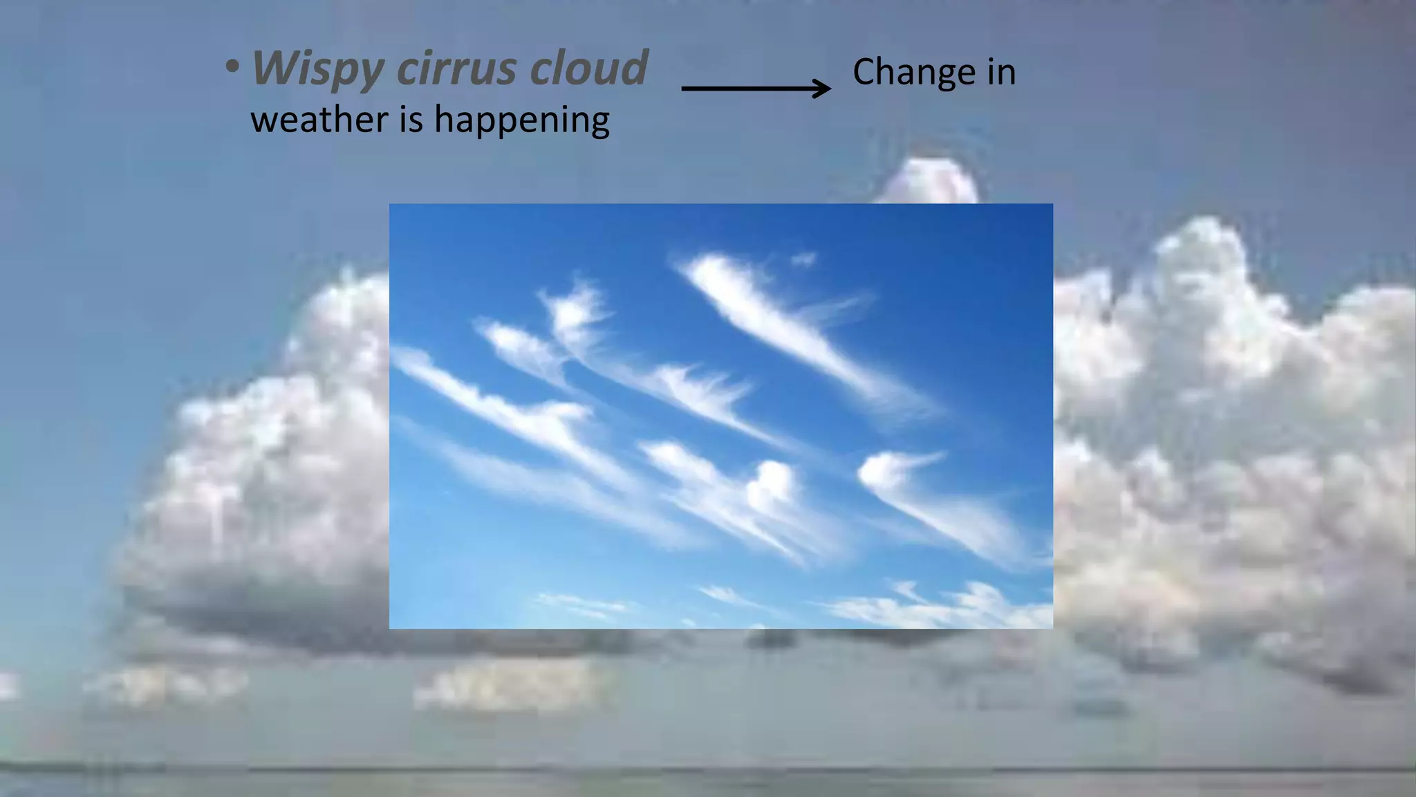
Naming clouds
• wecan call the clouds according to their altitude by
adding prefix or suffix.
Example:
Prefix “Cirro “ Clouds formed at high altitude
“Alto “ Middle altitude
“Nimbo” They are clouds bringing thunder
storm
Suffix Nimbus They are clouds bringing
thunder storm
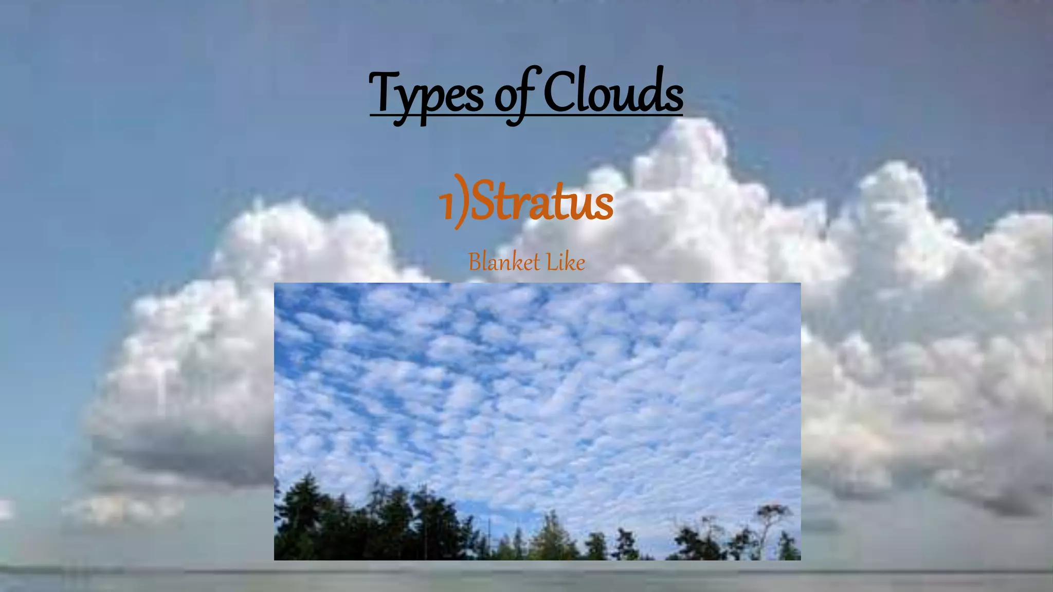
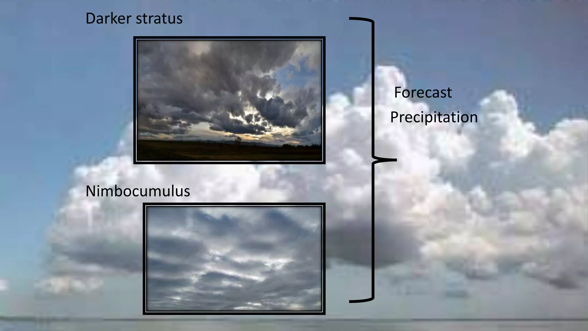
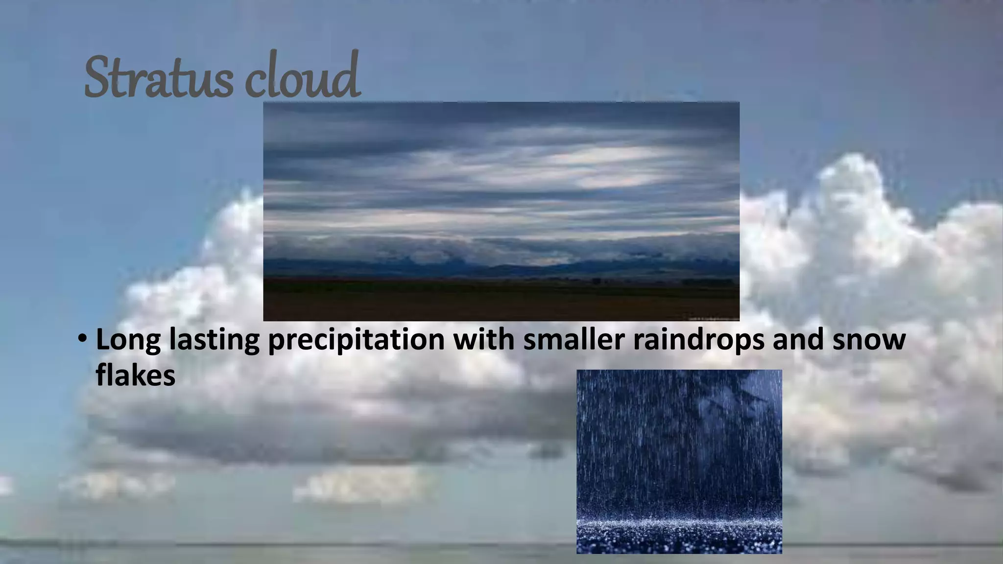
Stratus cloud
• Longlasting precipitation with smaller raindrops and snow
flakes
30.
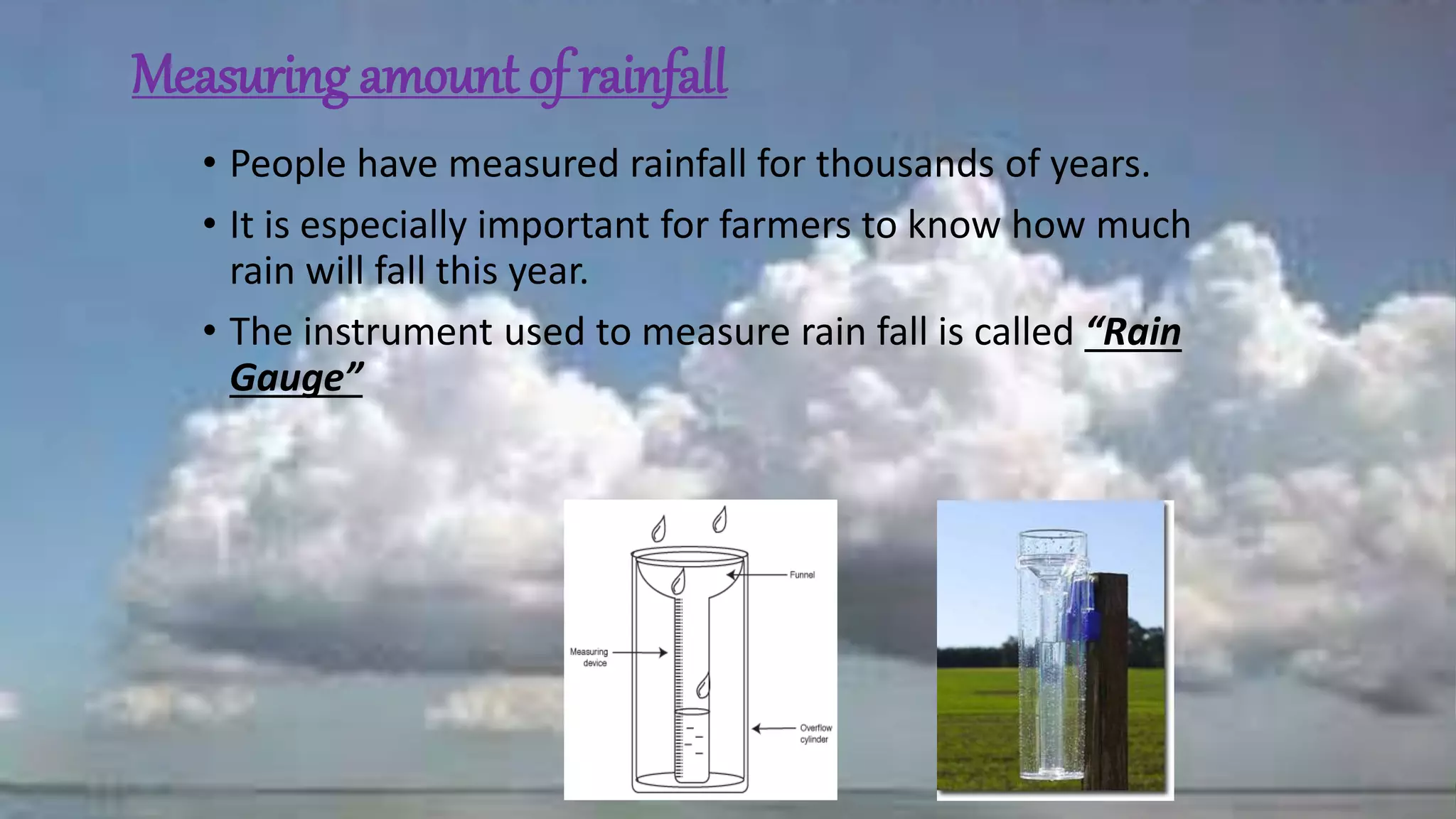
Measuring amount ofrainfall
• People have measured rainfall for thousands of years.
• It is especially important for farmers to know how much
rain will fall this year.
• The instrument used to measure rain fall is called “Rain
Gauge”
31.
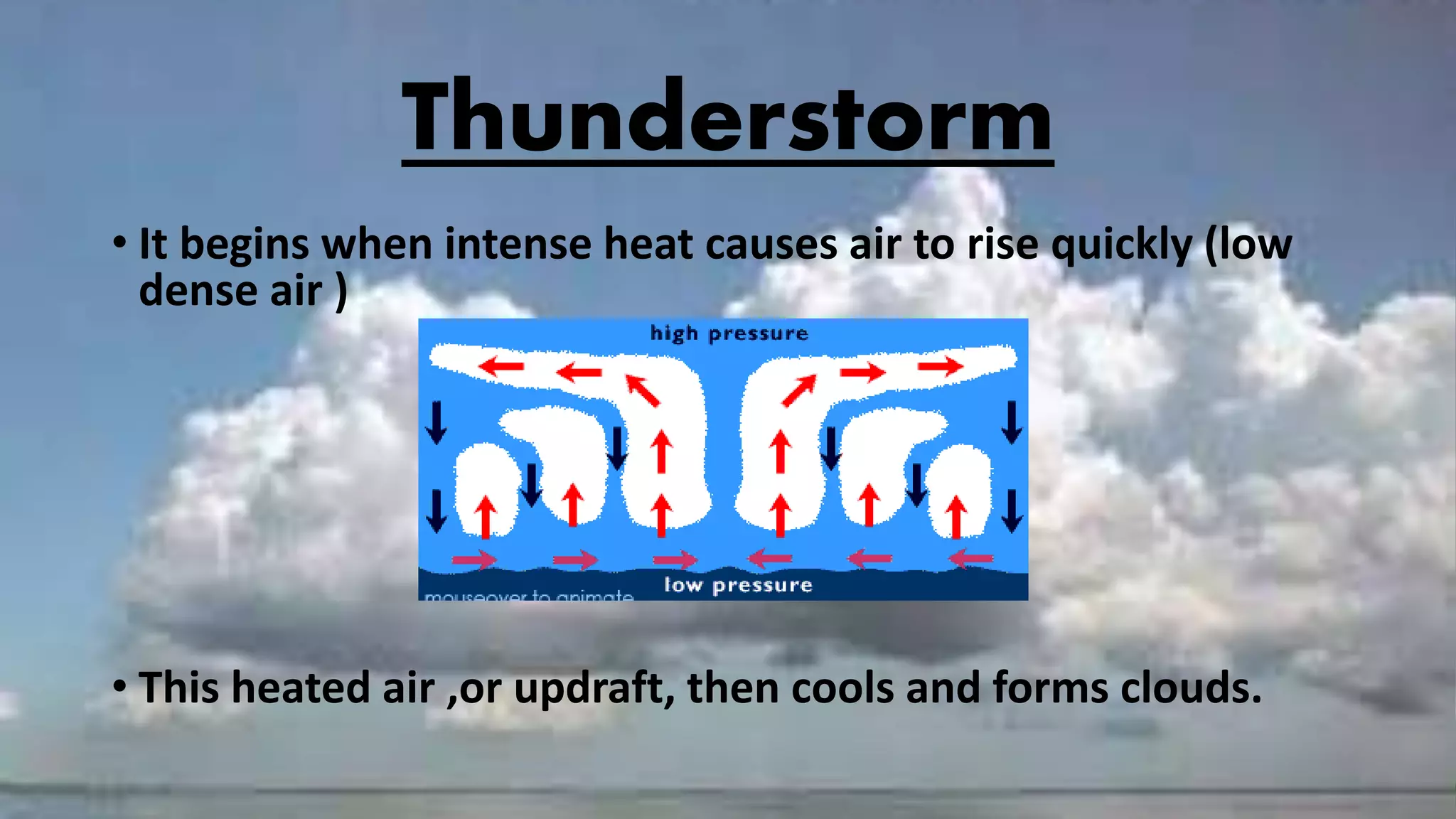
Thunderstorm
• It beginswhen intense heat causes air to rise quickly (low
dense air )
• This heated air ,or updraft, then cools and forms clouds.
32.
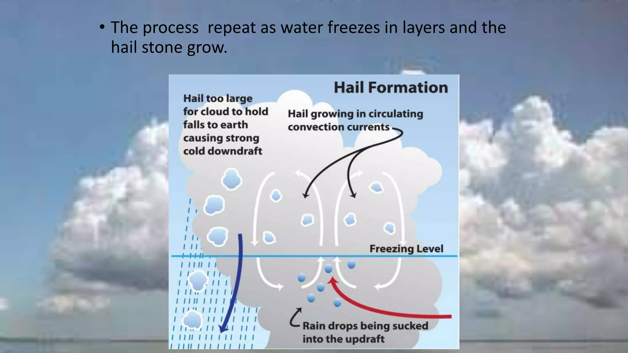
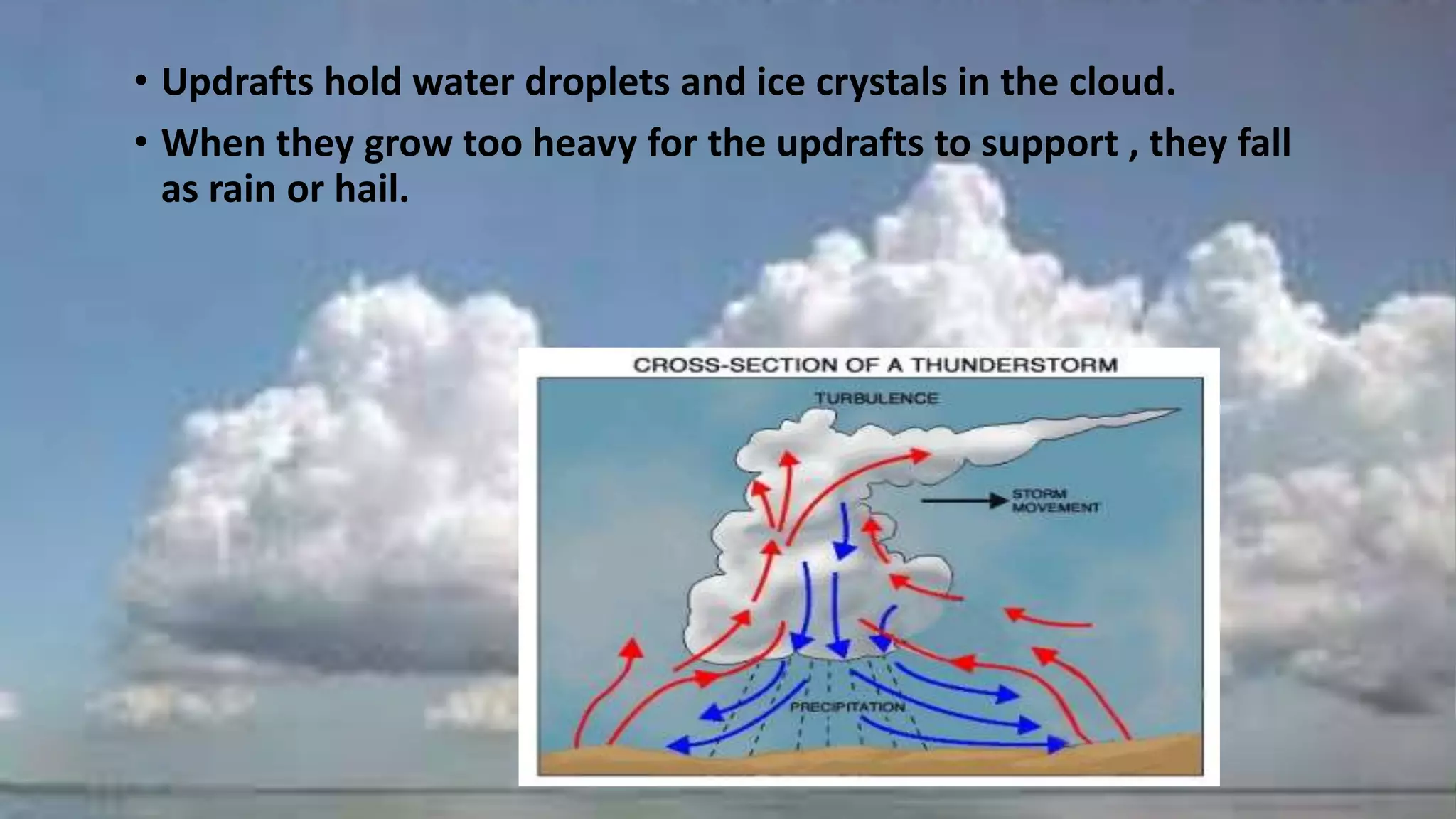
• Updrafts holdwater droplets and ice crystals in the cloud.
• When they grow too heavy for the updrafts to support , they fall
as rain or hail.
33.
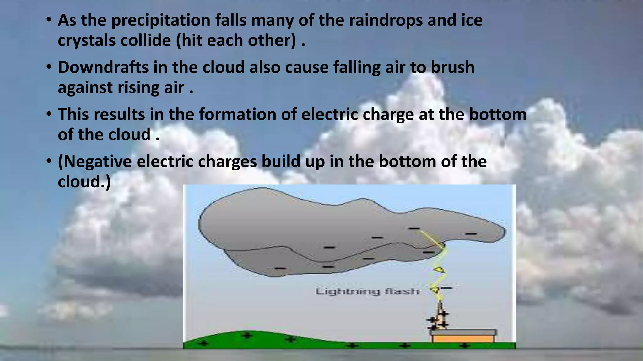
• As theprecipitation falls many of the raindrops and ice
crystals collide (hit each other) .
• Downdrafts in the cloud also cause falling air to brush
against rising air .
• This results in the formation of electric charge at the bottom
of the cloud .
• (Negative electric charges build up in the bottom of the
cloud.)
34.
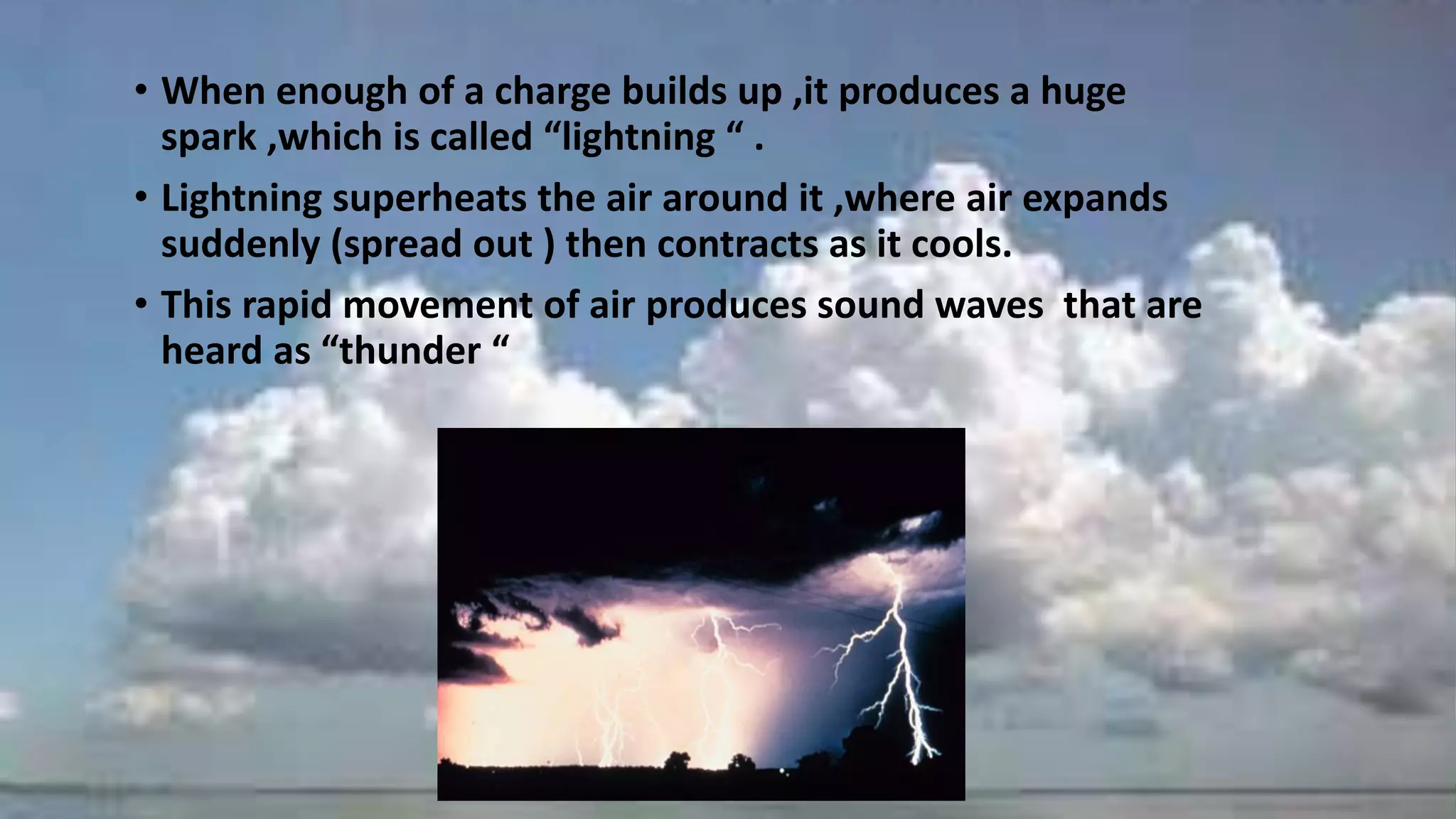
• When enoughof a charge builds up ,it produces a huge
spark ,which is called “lightning “ .
• Lightning superheats the air around it ,where air expands
suddenly (spread out ) then contracts as it cools.
• This rapid movement of air produces sound waves that are
heard as “thunder “
35.
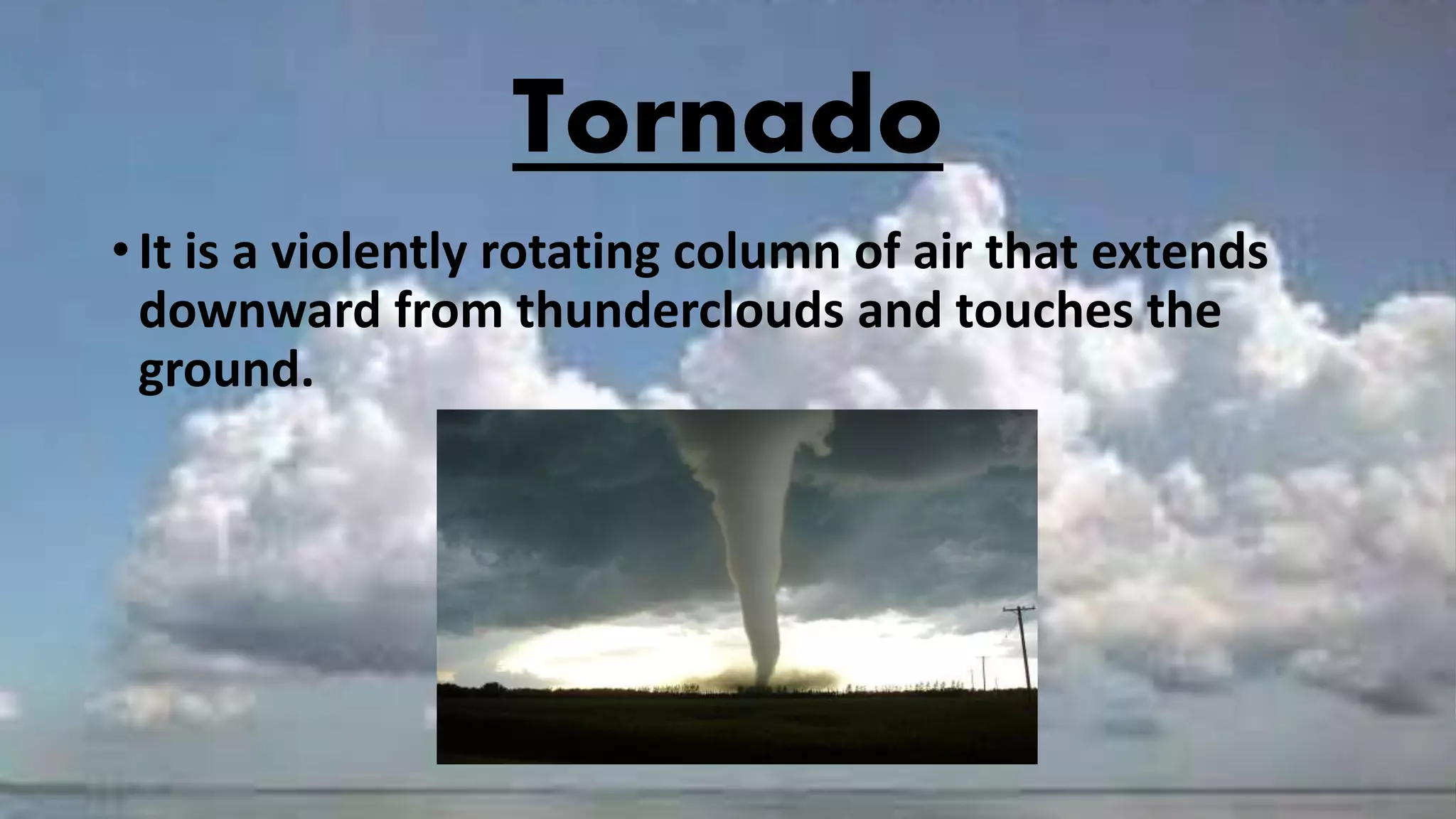
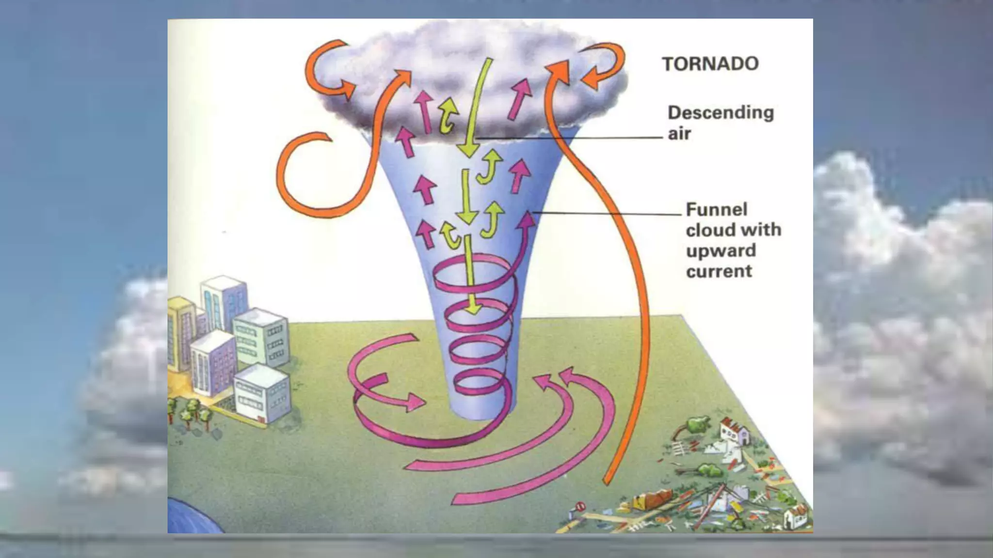
Tornado
• It isa violently rotating column of air that extends
downward from thunderclouds and touches the
ground.
36.
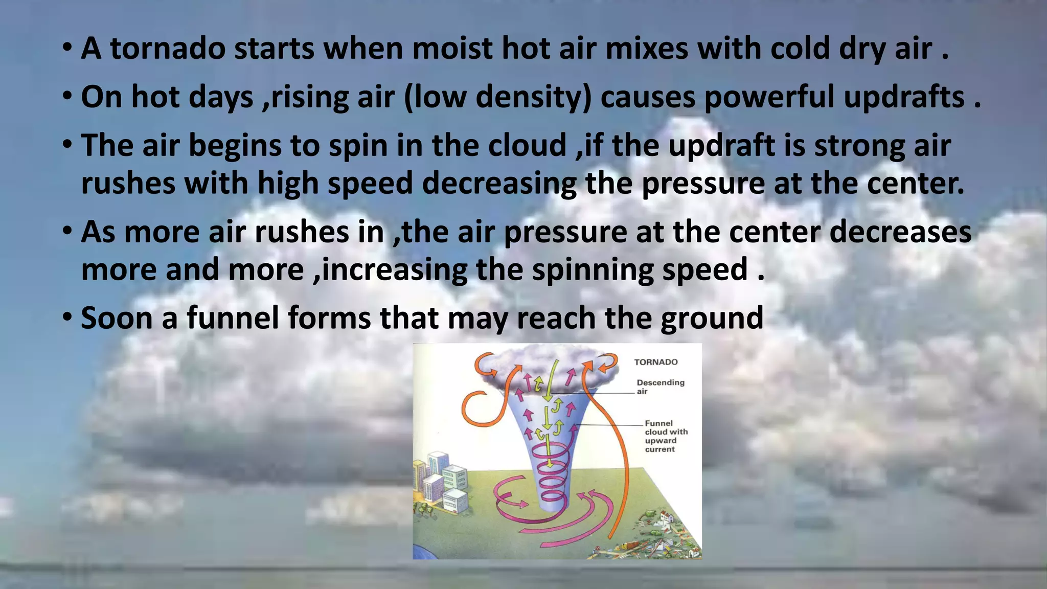
• A tornadostarts when moist hot air mixes with cold dry air .
• On hot days ,rising air (low density) causes powerful updrafts .
• The air begins to spin in the cloud ,if the updraft is strong air
rushes with high speed decreasing the pressure at the center.
• As more air rushes in ,the air pressure at the center decreases
more and more ,increasing the spinning speed .
• Soon a funnel forms that may reach the ground
38.
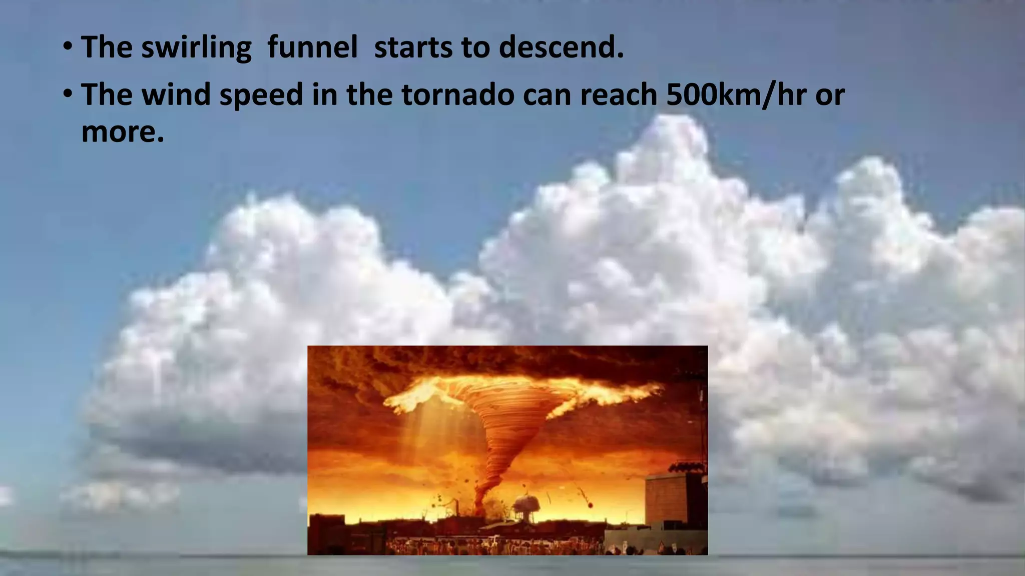
• The swirlingfunnel starts to descend.
• The wind speed in the tornado can reach 500km/hr or
more.
39.
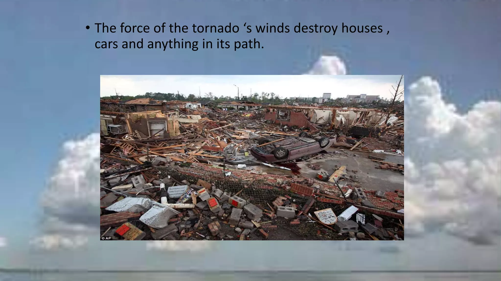
• The forceof the tornado ‘s winds destroy houses ,
cars and anything in its path.
40.
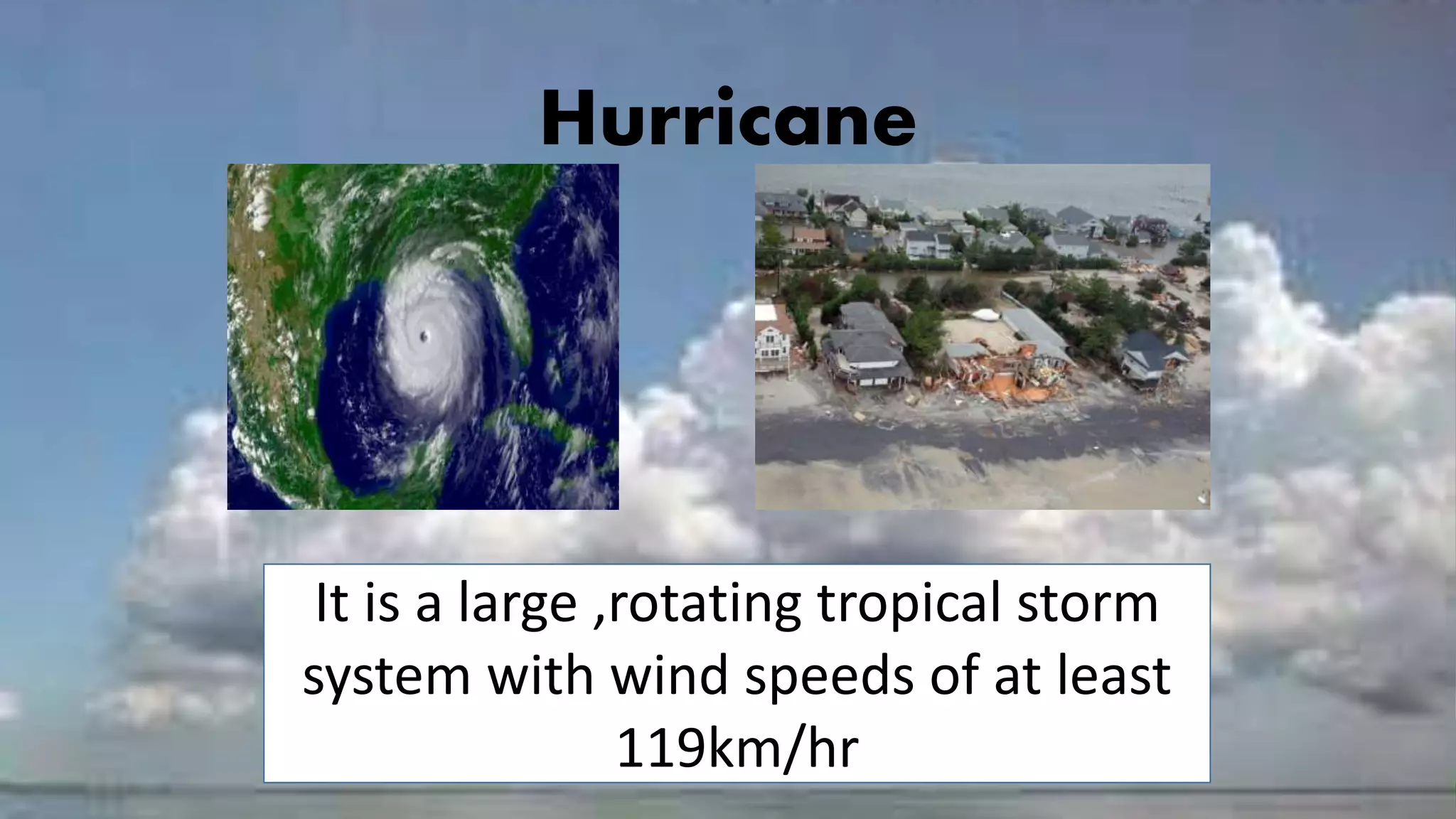
Hurricane
It is alarge ,rotating tropical storm
system with wind speeds of at least
119km/hr
41.
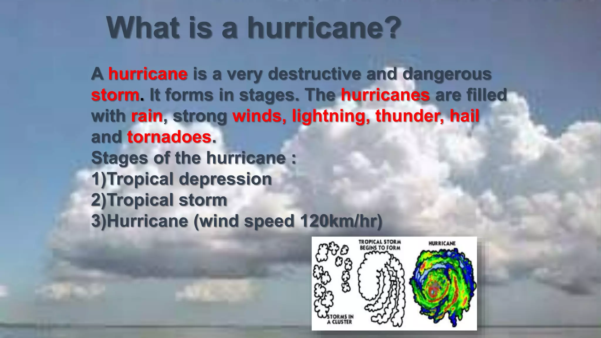
What is ahurricane?
A hurricane is a very destructive and dangerous
storm. It forms in stages. The hurricanes are filled
with rain, strong winds, lightning, thunder, hail
and tornadoes.
Stages of the hurricane :
1)Tropical depression
2)Tropical storm
3)Hurricane (wind speed 120km/hr)
43.
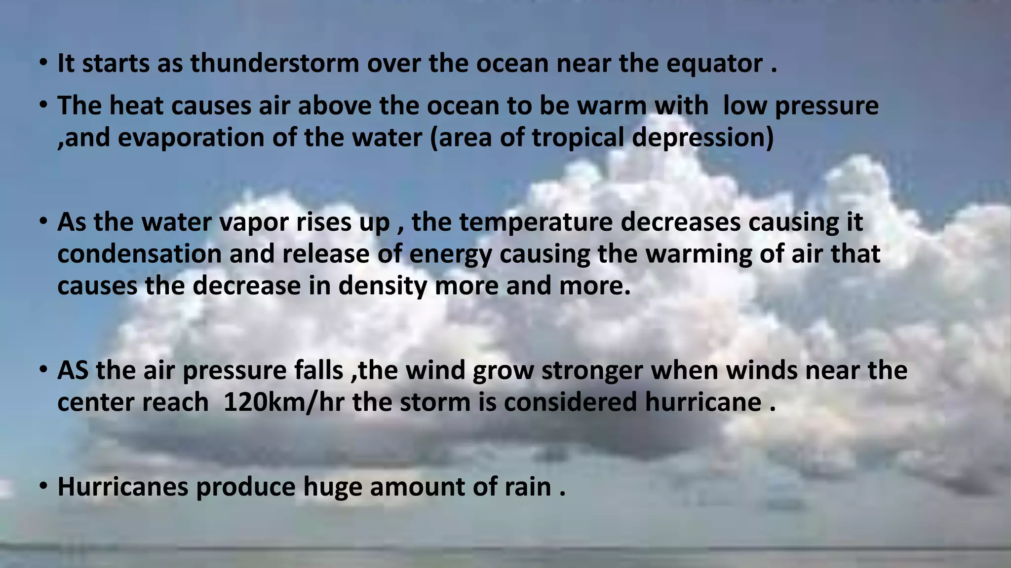
• It startsas thunderstorm over the ocean near the equator .
• The heat causes air above the ocean to be warm with low pressure
,and evaporation of the water (area of tropical depression)
• As the water vapor rises up , the temperature decreases causing it
condensation and release of energy causing the warming of air that
causes the decrease in density more and more.
• AS the air pressure falls ,the wind grow stronger when winds near the
center reach 120km/hr the storm is considered hurricane .
• Hurricanes produce huge amount of rain .
44.
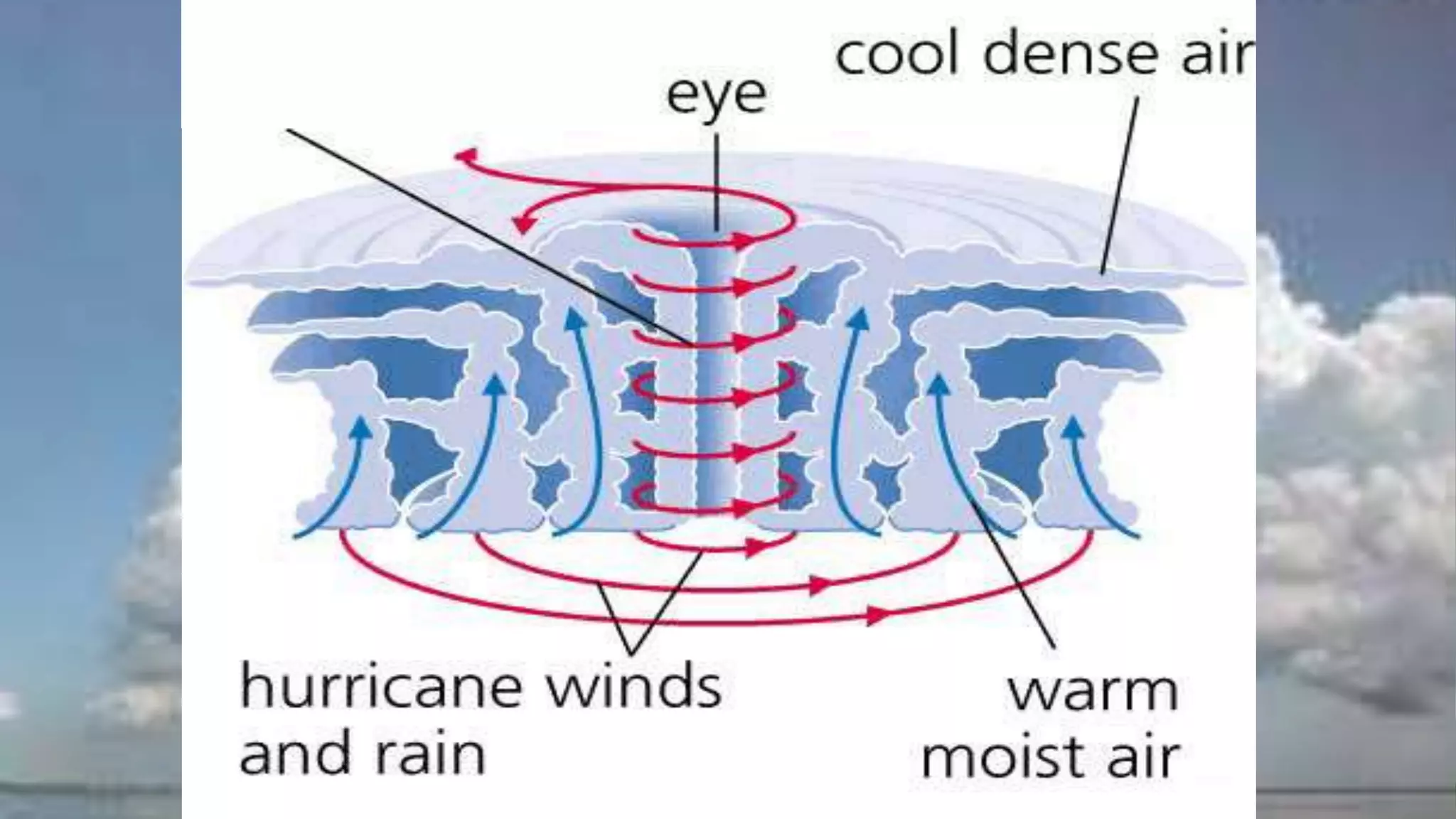
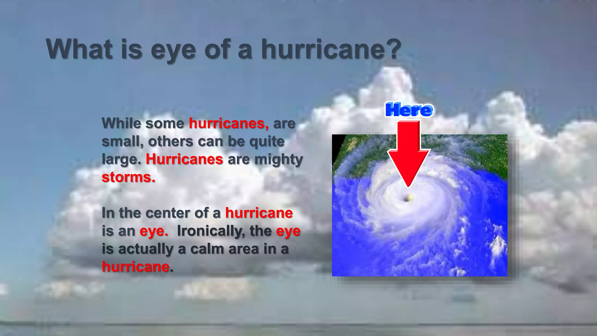
What is eyeof a hurricane?
While some hurricanes, are
small, others can be quite
large. Hurricanes are mighty
storms.
In the center of a hurricane
is an eye. Ironically, the eye
is actually a calm area in a
hurricane.