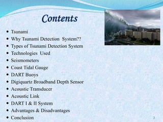
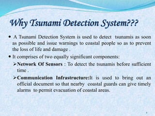
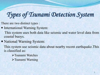
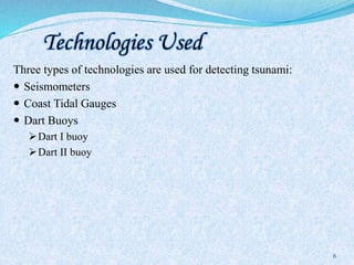
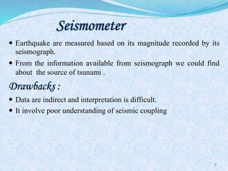
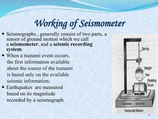
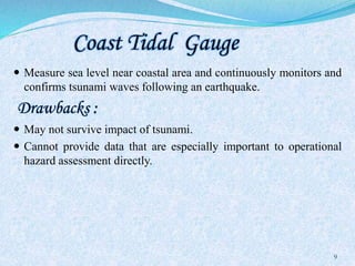
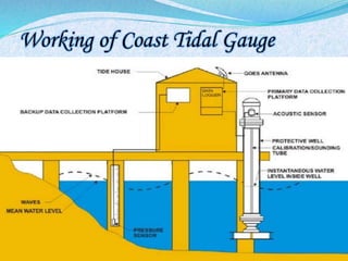
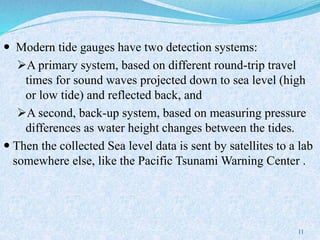
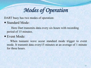
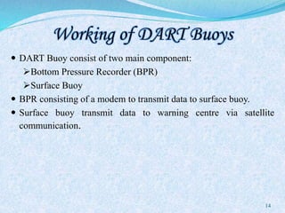
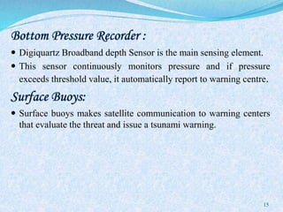
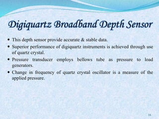
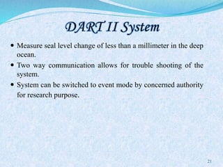
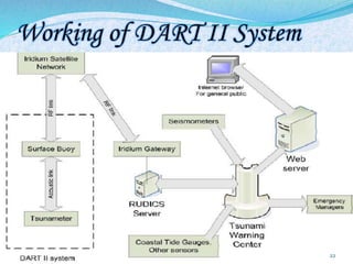
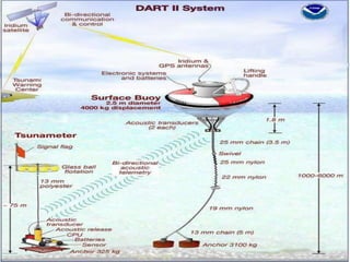
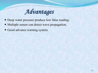
The document discusses tsunami detection systems, which are crucial for issuing timely warnings to prevent loss of life and damage. It details various types of detection systems, technologies used, and their advantages and disadvantages, with a focus on seismometers, coastal tidal gauges, and DART buoys. Ultimately, the tsunami detection system serves to predict the energy levels of tsunamis and alert coastal populations to potential threats.


![References
[1] http://en.wikipedia.org/wiki/Tsunami_detection_system
[2]http://en.wikipedia.org/wiki/Deepocean_Assessment_and_Reporting_
of_Tsunamis
[3]http://seminarprojects.net/t-tsunami-detection-system
[4]http://www.authorstream.com/Presentation/aSGuest132268-1389817-
ppt-for-seminar-tsunami-alarm
[5]www.sonardyne.com
[6]www.collegelib.com
27](https://image.slidesharecdn.com/tsunamidetectionsystem-151204150912-lva1-app6891/85/Tsunami-detection-system-27-320.jpg)