Downloaded 617 times


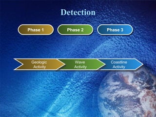


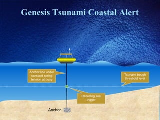
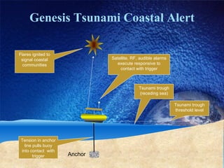

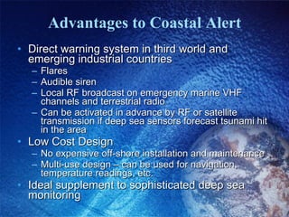

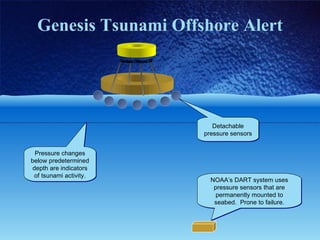


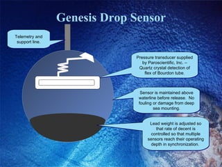
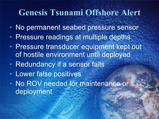


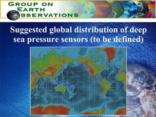


The document discusses tsunami detection systems. It describes how tsunamis differ from regular waves in terms of size and speed. It then discusses current detection methods like deep water sensors and coastal warning systems. It proposes a new offshore alert system using detachable pressure sensors dropped from buoys to get readings from multiple ocean depths without needing permanent seabed equipment. The system aims to provide early warning, prediction capabilities, and lower costs than existing methods.