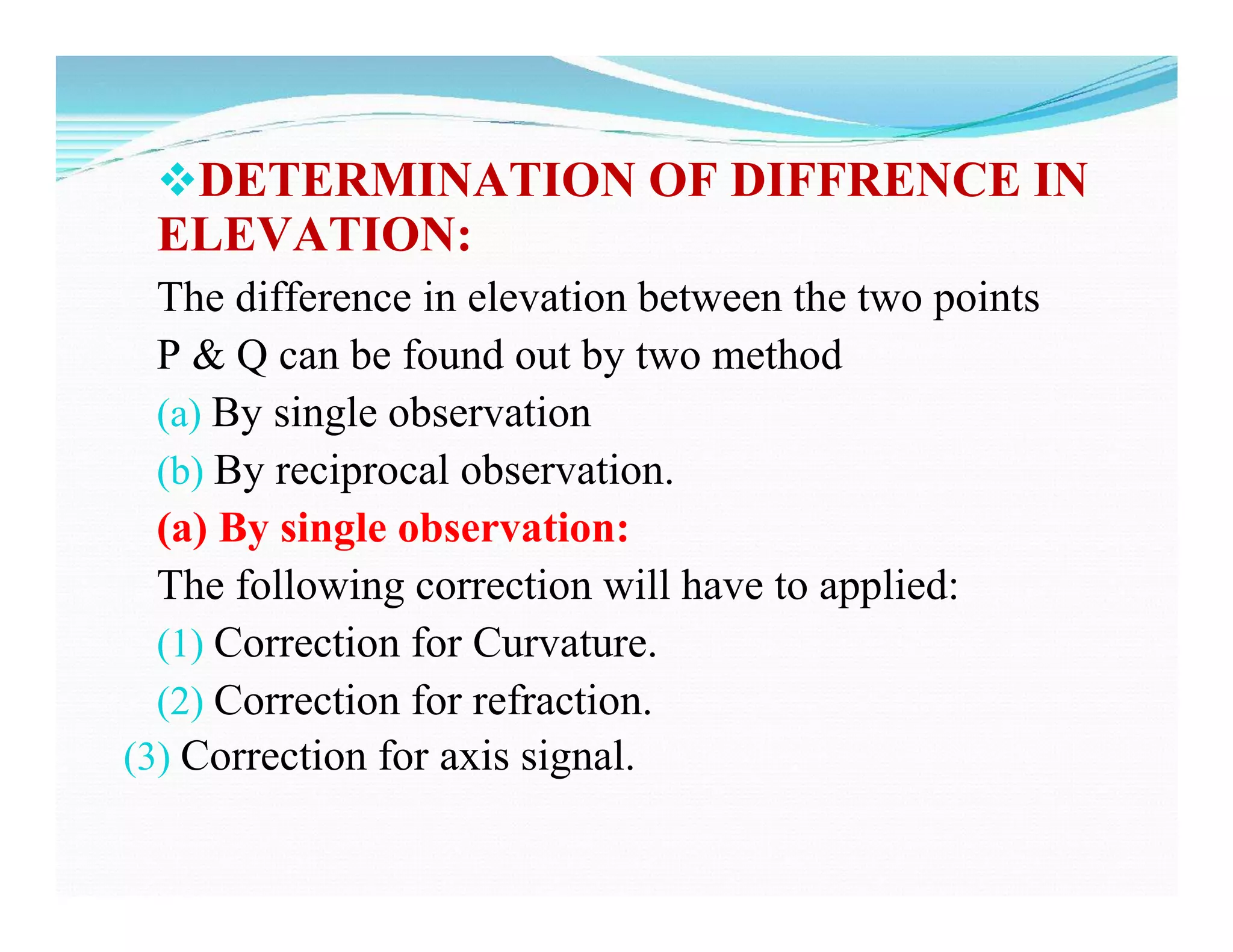
This document discusses methods of trigonometric leveling to determine elevation differences between points. It defines trigonometric leveling and describes corrections that must be applied for terrestrial refraction, curvature of the earth, and axis signal differences. The key methods discussed are determining elevation differences from a single observation using corrected angles of elevation or depression, and using reciprocal observations to eliminate refraction effects. Corrections are additive for depression angles and subtractive for elevation angles.
![Hence , Combined angular correction
=[ (d/ 2R sin1”) –(m.d/ R sin1”) ]
= ( 1 – 2m ) d Seconds
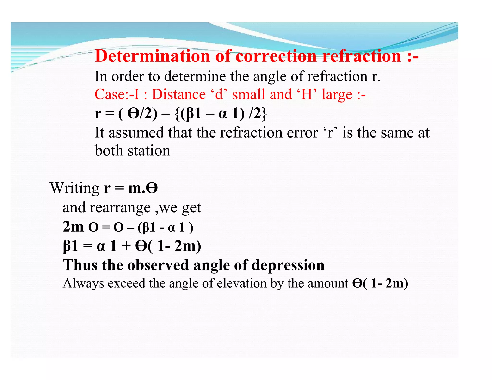
2R sin1”
The combined correction is positive for angles
of elevation and negative for angle of
depression](https://image.slidesharecdn.com/unit-06-trignometric-levelingppt-200406113610/75/Trigonometric-Levelling-Unit-6-12-2048.jpg)
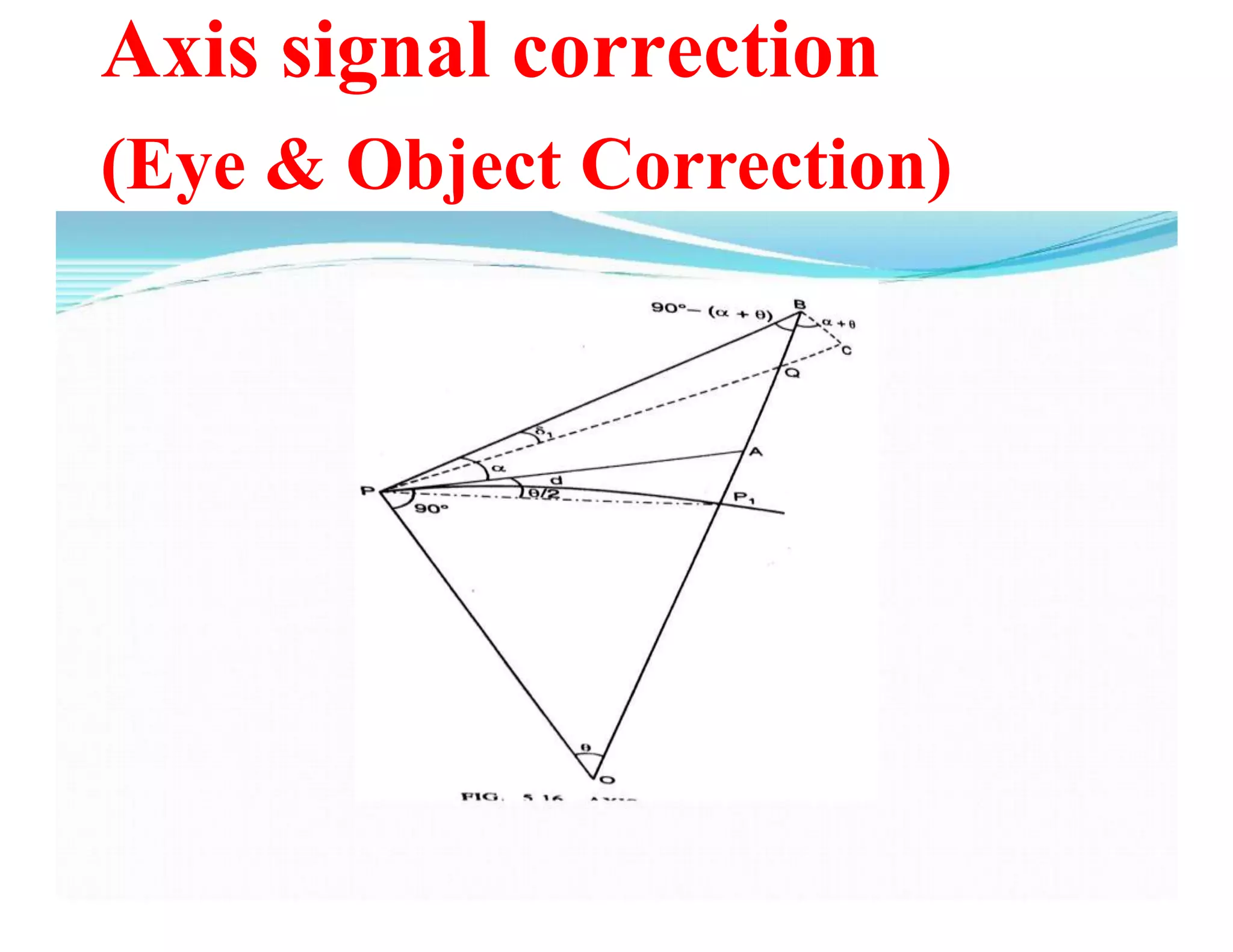
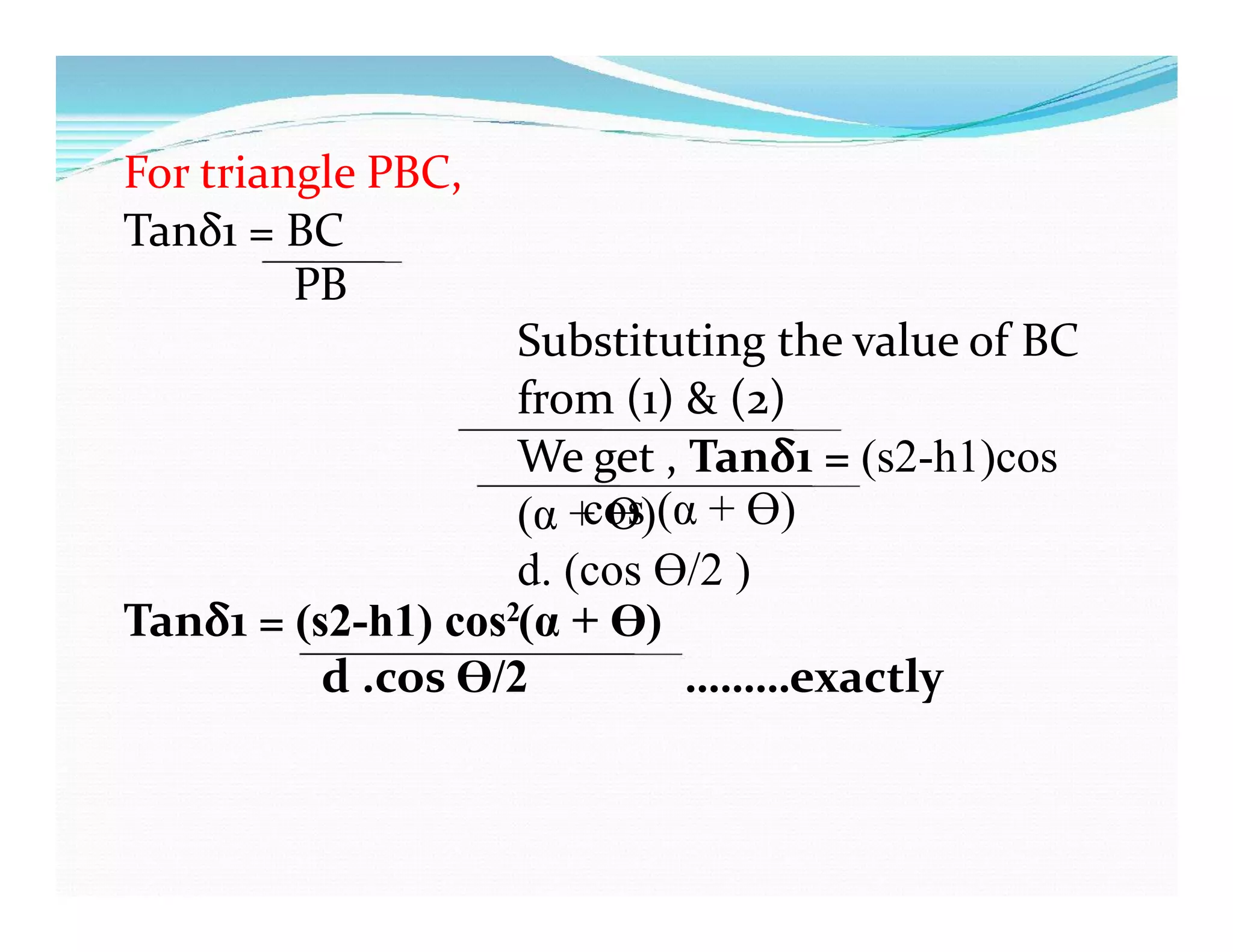
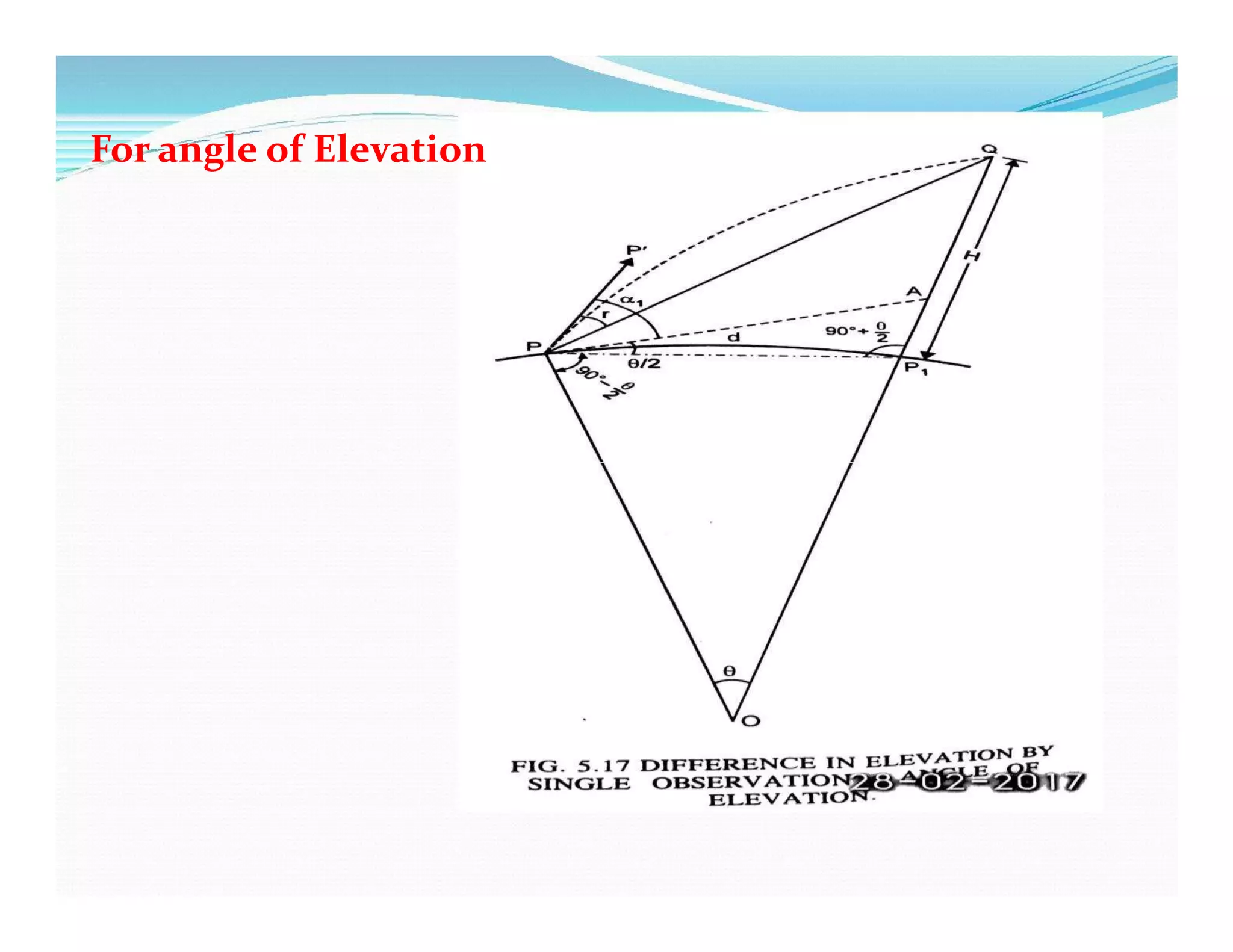
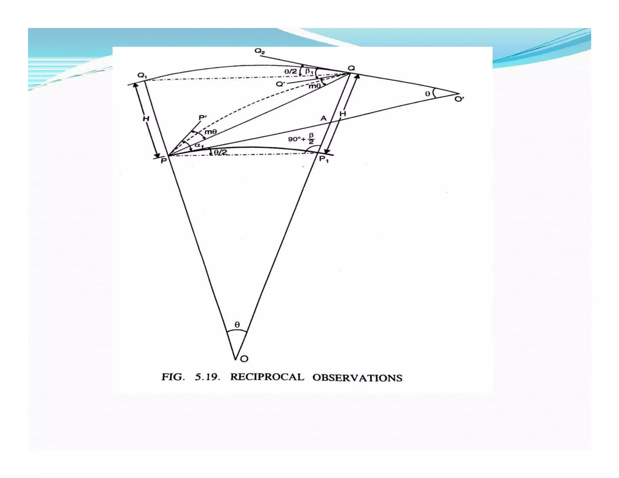
![For triangle PBO
<BPO = <BPA + <APO = α + 900
<POB = Ɵ
<PBO = 180 – ( 90 + α ) – Ɵ
= 90 – (α + Ɵ)
<QBC = 90 – [ 90- (α + Ɵ)]
= (α + Ɵ)
The angle δ1 is usually very small and hence <BCQ can
be approximately taken equal to 900.
BC = BQ cos (α + Ɵ) very nearly
= (s2-h1)cos (α + Ɵ)] ………………………(1)](https://image.slidesharecdn.com/unit-06-trignometric-levelingppt-200406113610/75/Trigonometric-Levelling-Unit-6-18-2048.jpg)
![For triangle PP1B,
<BPP1= α + Ɵ/2
<PBP1= 90 – (α + Ɵ)
<PP1B = 180 –[ 90 - (α + Ɵ)]-(α +
Ɵ/2)
= (90 + Ɵ/2)
Now PB = PP1
sin PP1B sin PBP1
PB = [(d.sin (90 + Ɵ/2)]/[sin(90 – (α + Ɵ)]
= d.[ (cos Ɵ/2 ) / cos (α + Ɵ)]…………………..(2)](https://image.slidesharecdn.com/unit-06-trignometric-levelingppt-200406113610/75/Trigonometric-Levelling-Unit-6-19-2048.jpg)
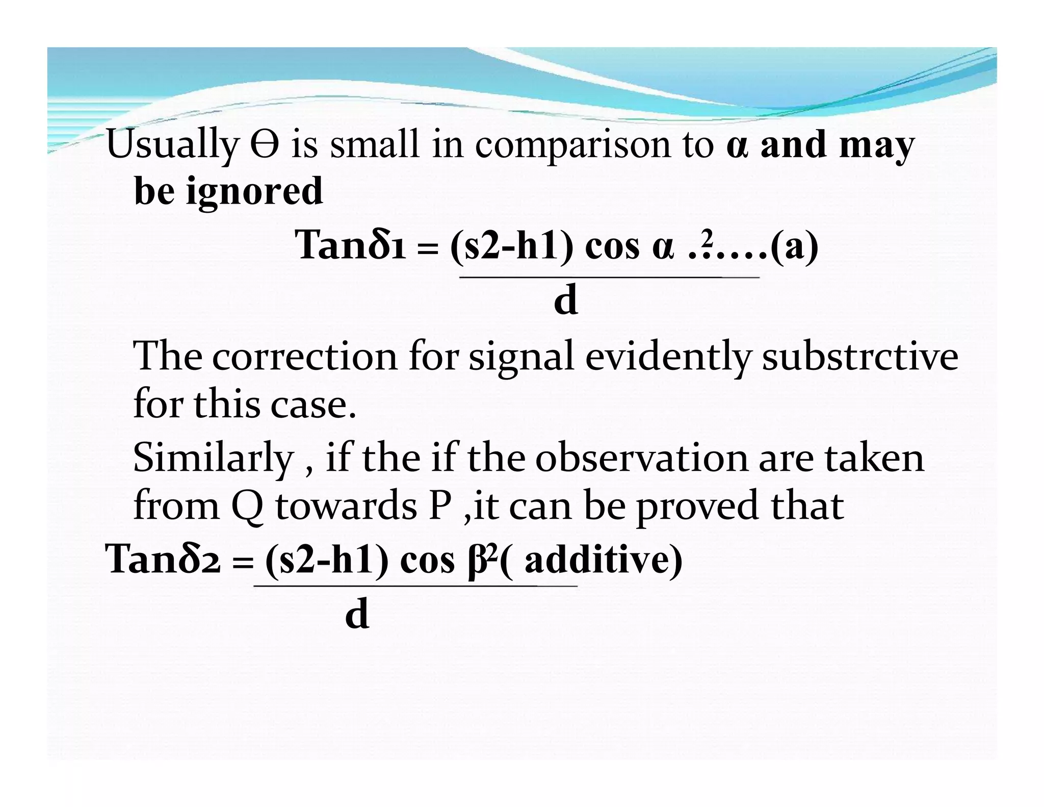
![The correction of axis signal is negative for angles of
elevation and positive for angle of depression .
If , however angle α or β is very small ,we can take ,with
sufficient accuracy
Tanδ1 = δ1 =( s2-h1) / d sin 1” seconds………….(b)
Tanδ2 = δ2 =( s2-h2) / d sin 1” ………………………(c)
By considering PB= PQ= PP1=d nd taking the arc with radius
equal to d. then
δ1 = [BQ/ d ]radians
= [( s2-h1) / d ]
= [( s2-h1) / d sin 1”] seconds](https://image.slidesharecdn.com/unit-06-trignometric-levelingppt-200406113610/75/Trigonometric-Levelling-Unit-6-22-2048.jpg)
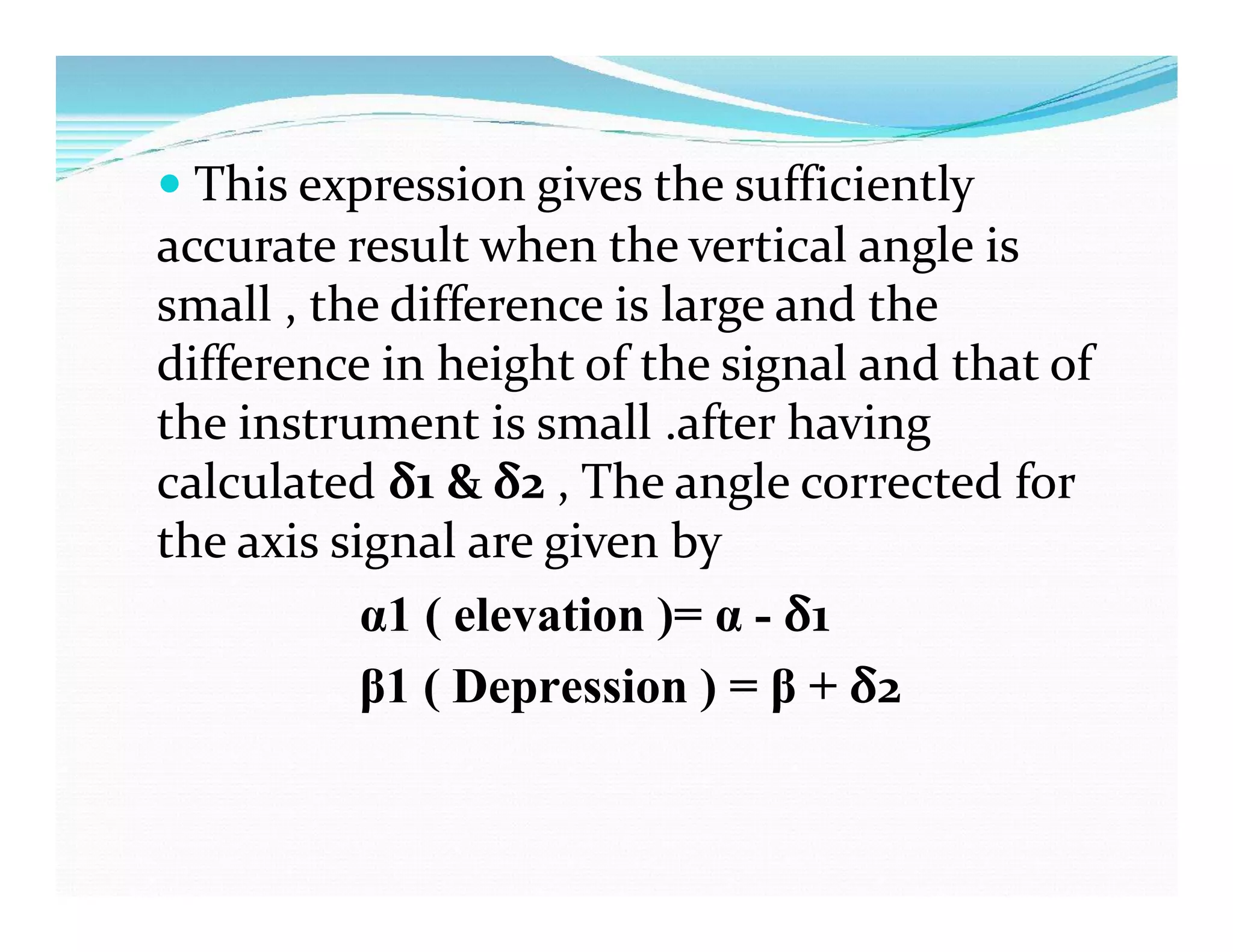
![α = observed angle of elevation to Q
α1 = observed angle corrected for axis signal
= (α - δ1 )
= [α – (s2 –h1)/d sin 1”] seconds.
Therefore
QP1= d.sin α1+(m.d/Rsin1”) +(d/ 2R sin1”)
Cos α1+(m.d/Rsin1”) +(d/ 2R sin1”)](https://image.slidesharecdn.com/unit-06-trignometric-levelingppt-200406113610/75/Trigonometric-Levelling-Unit-6-27-2048.jpg)
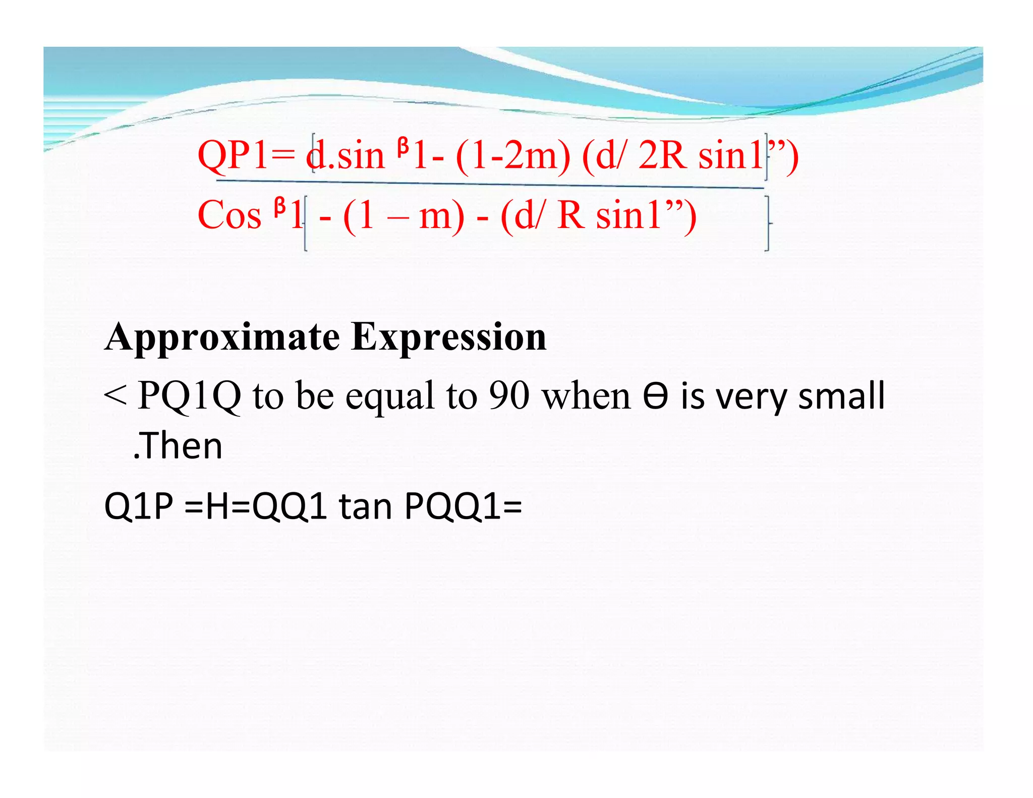
![QP1= d.sin α1+(1-2m) (d/ 2R sin1”)
Cos α1+(1 – m) (d/ R sin1”)
Where the quantities (1-2m) (d/ 2R sin1”) and
(1 – m) (d/ R sin1”) are in seconds.
Approximate Expressions:
˂PP1Q= 90,Ѳ is very small
QP1 =H = PP1 tan QPP1= d tan [α1 - m Ѳ + Ѳ/2]
= d tan [α1 - (1-2m) (d/ 2R sin1”) ]](https://image.slidesharecdn.com/unit-06-trignometric-levelingppt-200406113610/75/Trigonometric-Levelling-Unit-6-28-2048.jpg)
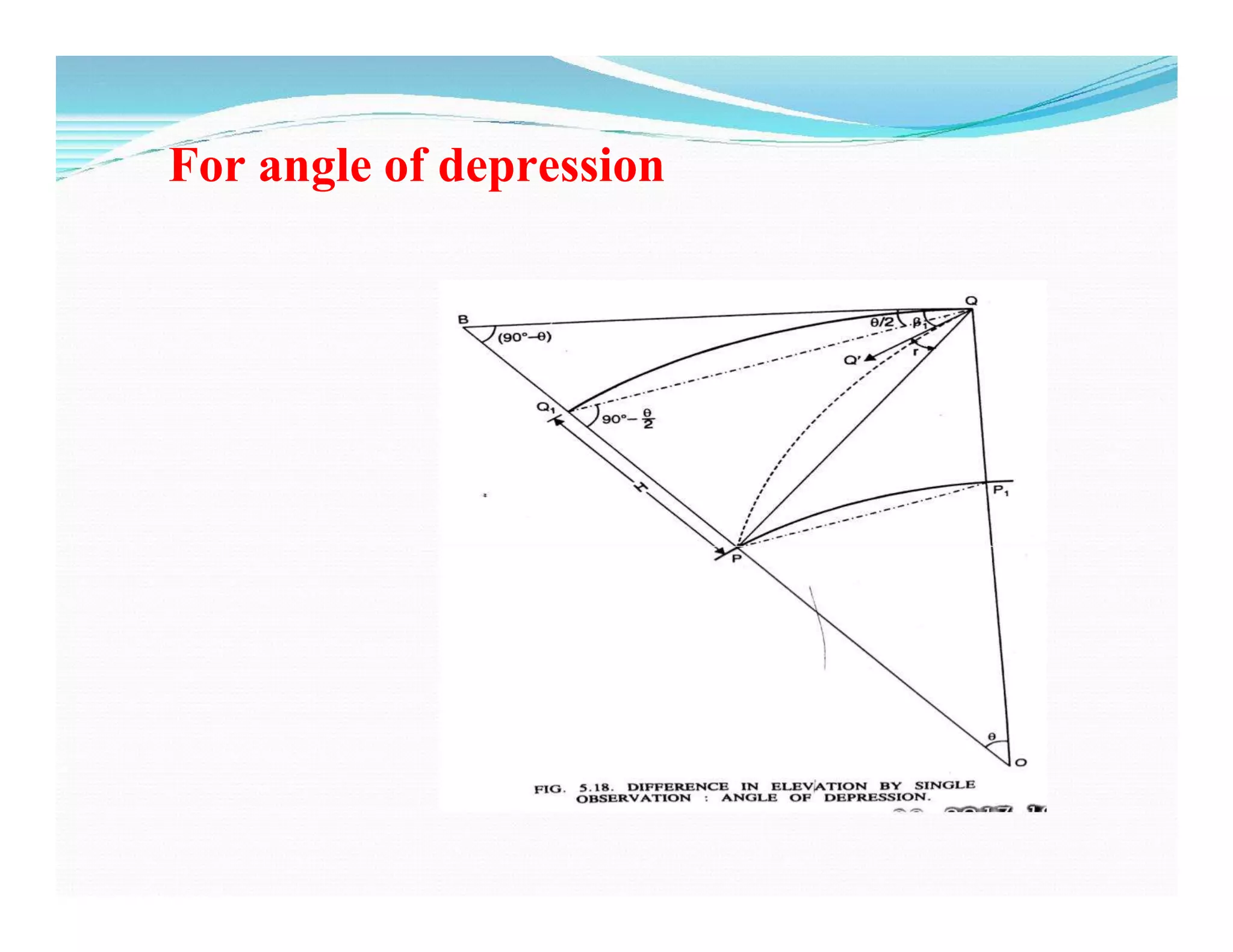
![ᵝ = observed angle of depression to P
ᵝ1 = observed angle corrected for axis signal
= ᵝ + δ2
= [ᵝ – (s1 –h2)/d sin 1”] seconds
d = horizontal distance =
arc QQ1 = chord QQ1= QB](https://image.slidesharecdn.com/unit-06-trignometric-levelingppt-200406113610/75/Trigonometric-Levelling-Unit-6-31-2048.jpg)
![ᵝ = observed angle of depression to P
ᵝ1 = observed angle corrected for axis signal
= ᵝ + δ2
= [ᵝ – (s1 –h2)/d sin 1”] seconds
d = horizontal distance =
arc QQ1 = chord QQ1= QB
= d tan [ᵝ1 - (1-2m) (d/ 2R sin1”) ]](https://image.slidesharecdn.com/unit-06-trignometric-levelingppt-200406113610/75/Trigonometric-Levelling-Unit-6-32-2048.jpg)
![Both α1 and β1 are the angle of
depression ,the expression for H can
be obtained by changing the sign of
α1 .
H = d sin[ (β1 - α1 )/2]
cos [(β1 - α1 )/2 +Ɵ/2]](https://image.slidesharecdn.com/unit-06-trignometric-levelingppt-200406113610/75/Trigonometric-Levelling-Unit-6-35-2048.jpg)


