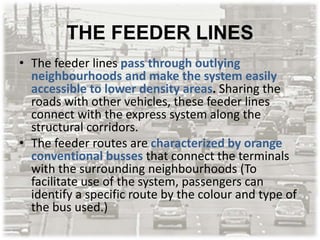
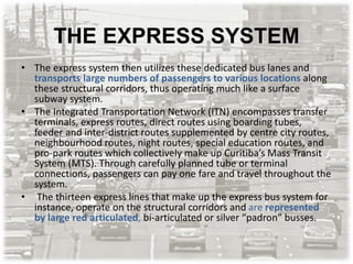
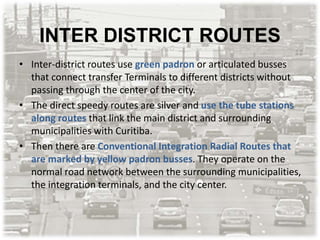
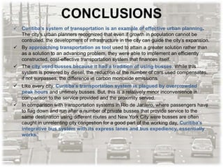
Downloaded 199 times
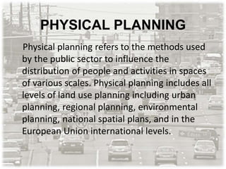
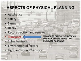
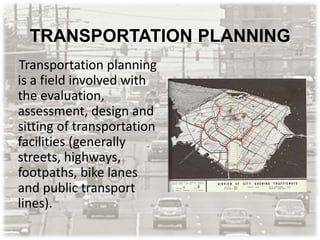
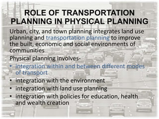


The document outlines the crucial role of transportation planning in physical planning, emphasizing how better connectivity is essential for urban development and economic growth. It discusses the relationship between urban density and transportation, describes effective strategies like transit-oriented development, and presents Curitiba as a case study for successful integration of transportation and urban planning. The findings highlight the significance of a well-planned transportation system as a foundation for sustainable urban infrastructure and accessibility.


![[Urban transportation] city presentation manila(philippines)](https://cdn.slidesharecdn.com/ss_thumbnails/urbantransportationcitypresentationmanilaphilippines-150102000911-conversion-gate01-thumbnail.jpg?width=640&height=640&fit=bounds)


