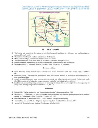
This document summarizes a study analyzing the road network in a cantonment area of Hyderabad, India using GIS. Differential GPS and video surveys were conducted to collect road network data. A base map of the study area was generated by spatially referencing and overlaying road features. The lengths, areas, and densities of roads were calculated for 5 wards using ArcGIS. Network connectivity was analyzed and certain roads were found to have width deficiencies. Recommendations included increasing road widths as per standards and ensuring sustained rural development.