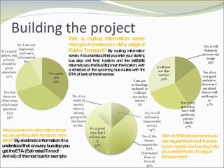
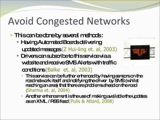
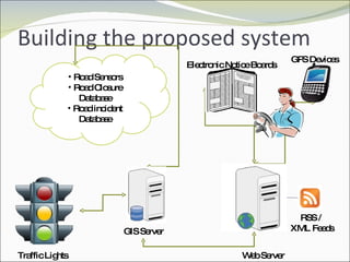
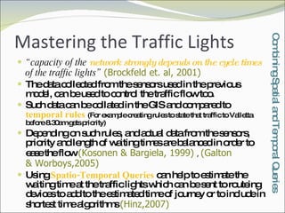
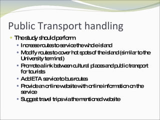
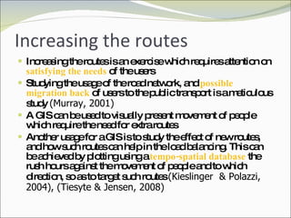
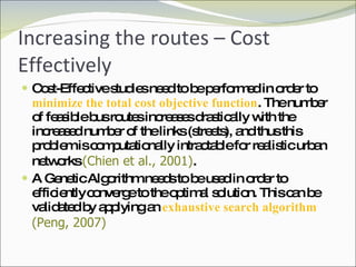
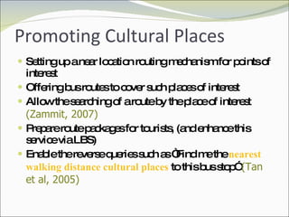
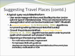


The document outlines the study of Location-Based Services (LBS) and Geographic Information Systems (GIS) in relation to transport management and public sector applications. It discusses various technology implementations, including mobile government (m-government) scenarios, conflict-free vehicle routing algorithms, and real-time bus arrival information systems aimed at improving public transport usage and traffic management. The investigation addresses enhancing public transport efficiency, increasing user engagement, reducing congestion, and promoting cultural sites through an integrated approach using GIS and mobile technologies.


![11.[20 37]analysis of bus-stops locations using geographic information system...](https://cdn.slidesharecdn.com/ss_thumbnails/11-20-37analysisofbus-stopslocationsusinggeographicinformationsysteminibadannorthl-g-anigeria-120512235612-phpapp01-thumbnail.jpg?width=640&height=640&fit=bounds)


