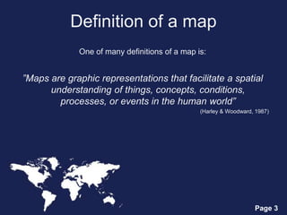
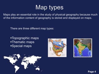
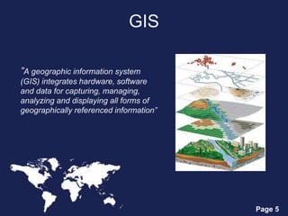
Page 1
Maps and GIS
Page 2
Themes
 Definition of a map
 Map types
 GIS (geographic information system)
Page 3
Definition of a map
One of many definitions of a map is:
”Maps are graphic representations that facilitate a spatial
understanding of things, concepts, conditions,
processes, or events in the human world”
(Harley & Woodward, 1987)
Page 4
Map types
Maps play an essential role in the study of physical geography because much
of the information content of geography is stored and displayed on maps.
There are three different map types:
Topographic maps
Thematic maps
Special maps
Page 5
GIS
”A geographic information system
(GIS) integrates hardware, software
and data for capturing, managing,
analyzing and displaying all forms of
geographically referenced information”
Page 6
Map making and GIS
 Cartography is the design and production of maps, or visual
representations of spatial data
 In cartography, technology has continually changed in order to meet
the demands of new generations of mapmakers and map users
 The first maps were manually constructed with brushes and
parchment
 The vast majority of modern cartography is done with the help of
computers, usually using a GIS

Maps and GIS

  • 1.
  • 2.
    Page 2 Themes  Definitionof a map  Map types  GIS (geographic information system)
  • 3.
    Page 3 Definition ofa map One of many definitions of a map is: ”Maps are graphic representations that facilitate a spatial understanding of things, concepts, conditions, processes, or events in the human world” (Harley & Woodward, 1987)
  • 4.
    Page 4 Map types Mapsplay an essential role in the study of physical geography because much of the information content of geography is stored and displayed on maps. There are three different map types: Topographic maps Thematic maps Special maps
  • 5.
    Page 5 GIS ”A geographicinformation system (GIS) integrates hardware, software and data for capturing, managing, analyzing and displaying all forms of geographically referenced information”
  • 6.
    Page 6 Map makingand GIS  Cartography is the design and production of maps, or visual representations of spatial data  In cartography, technology has continually changed in order to meet the demands of new generations of mapmakers and map users  The first maps were manually constructed with brushes and parchment  The vast majority of modern cartography is done with the help of computers, usually using a GIS