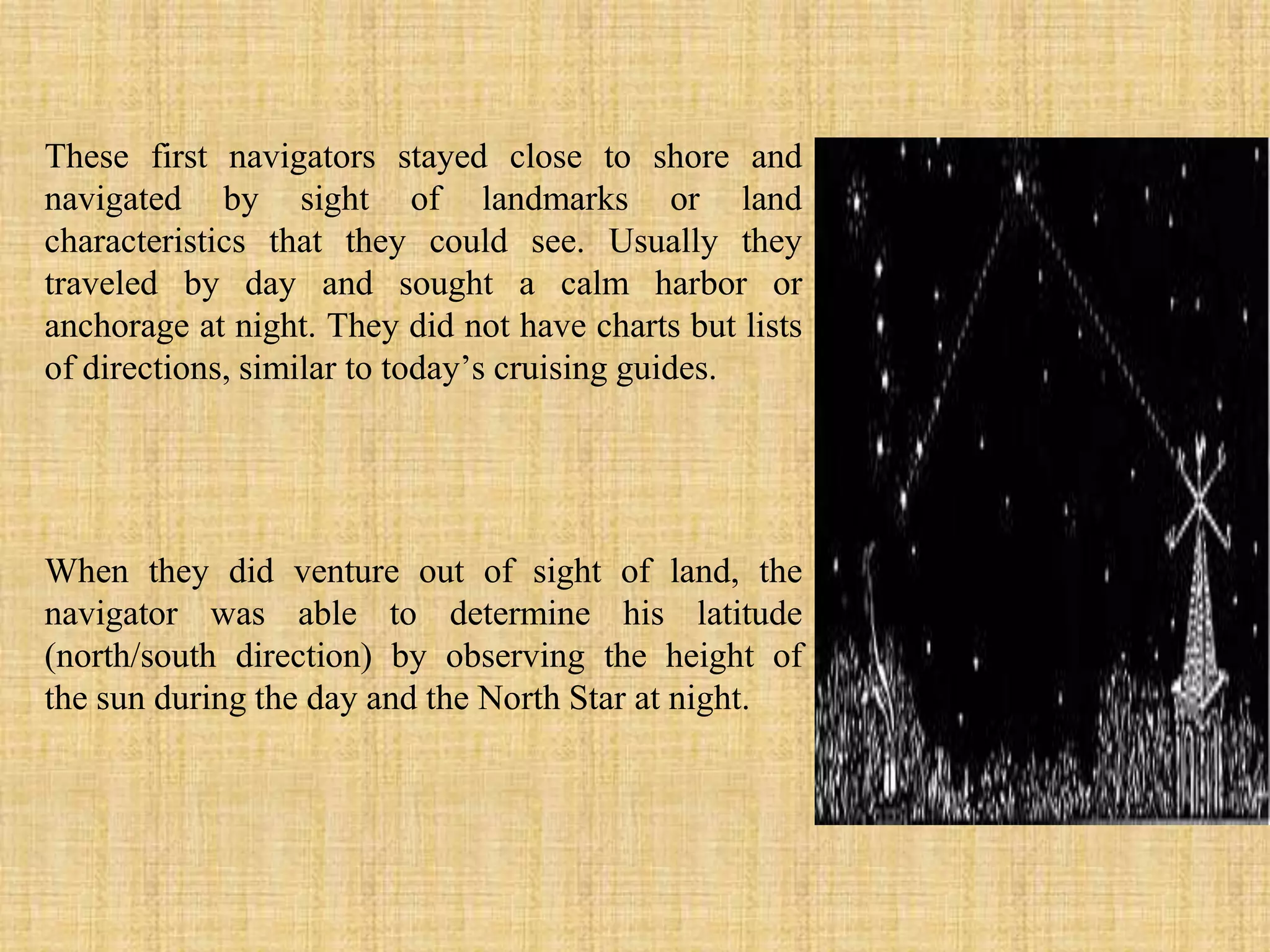
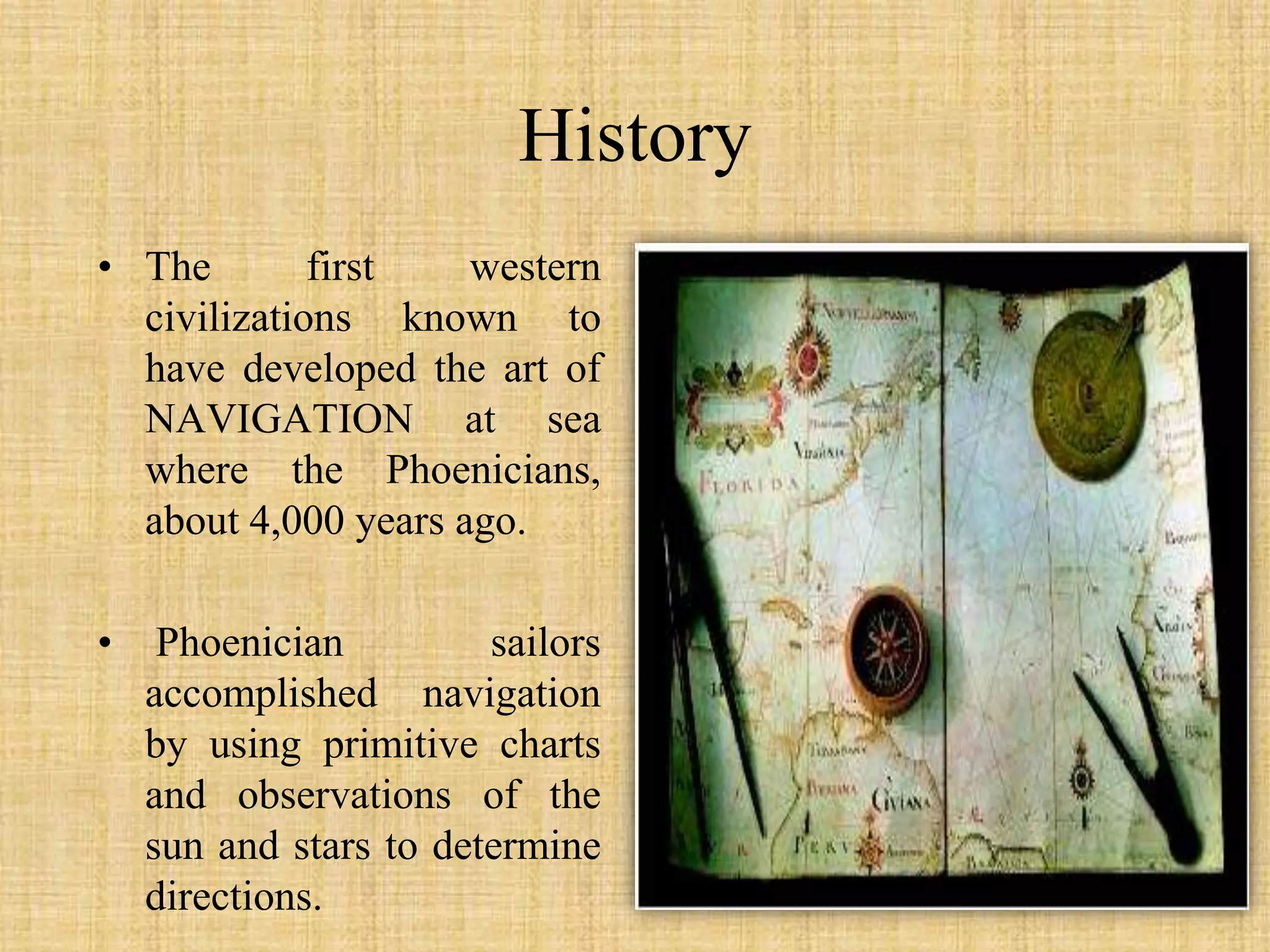
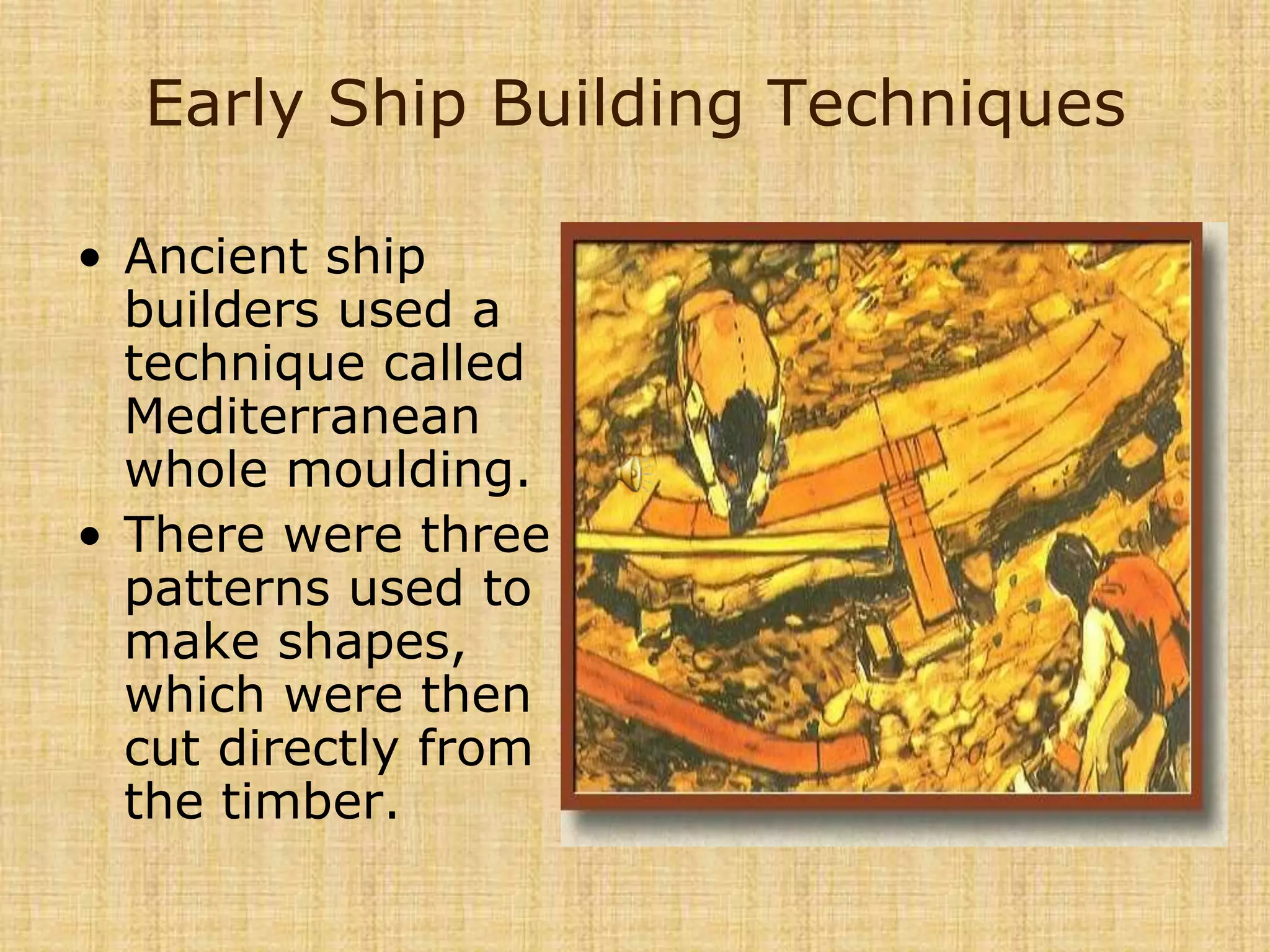
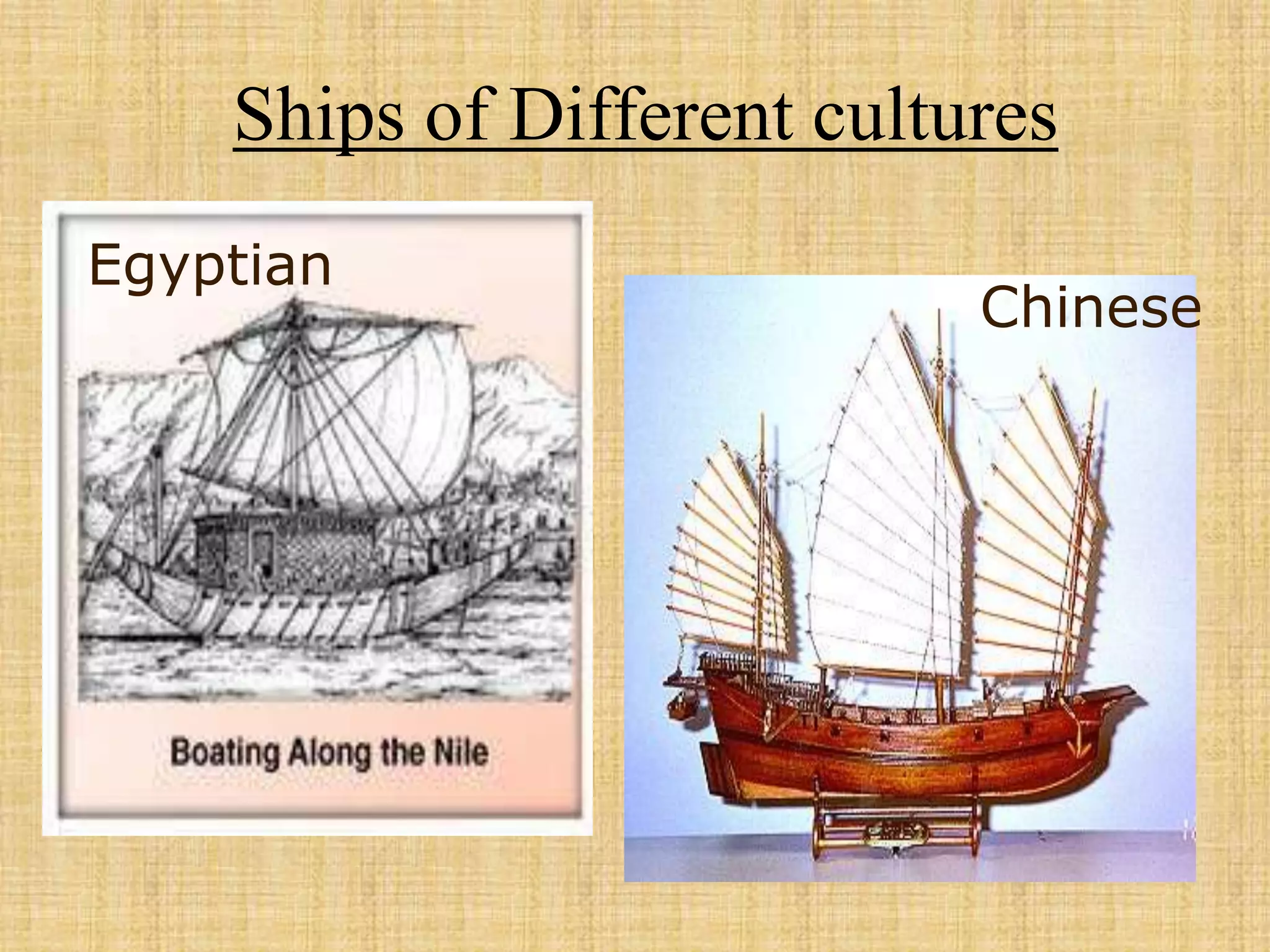
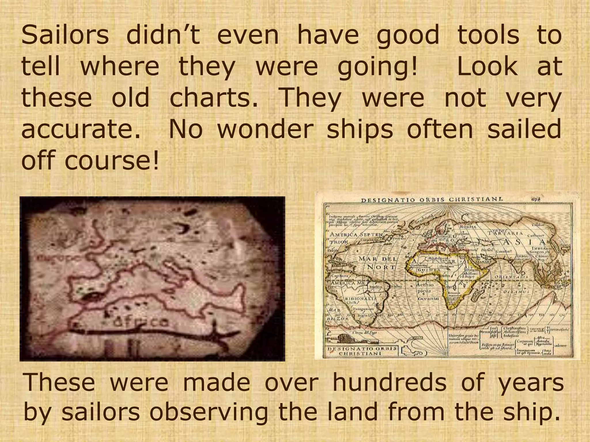
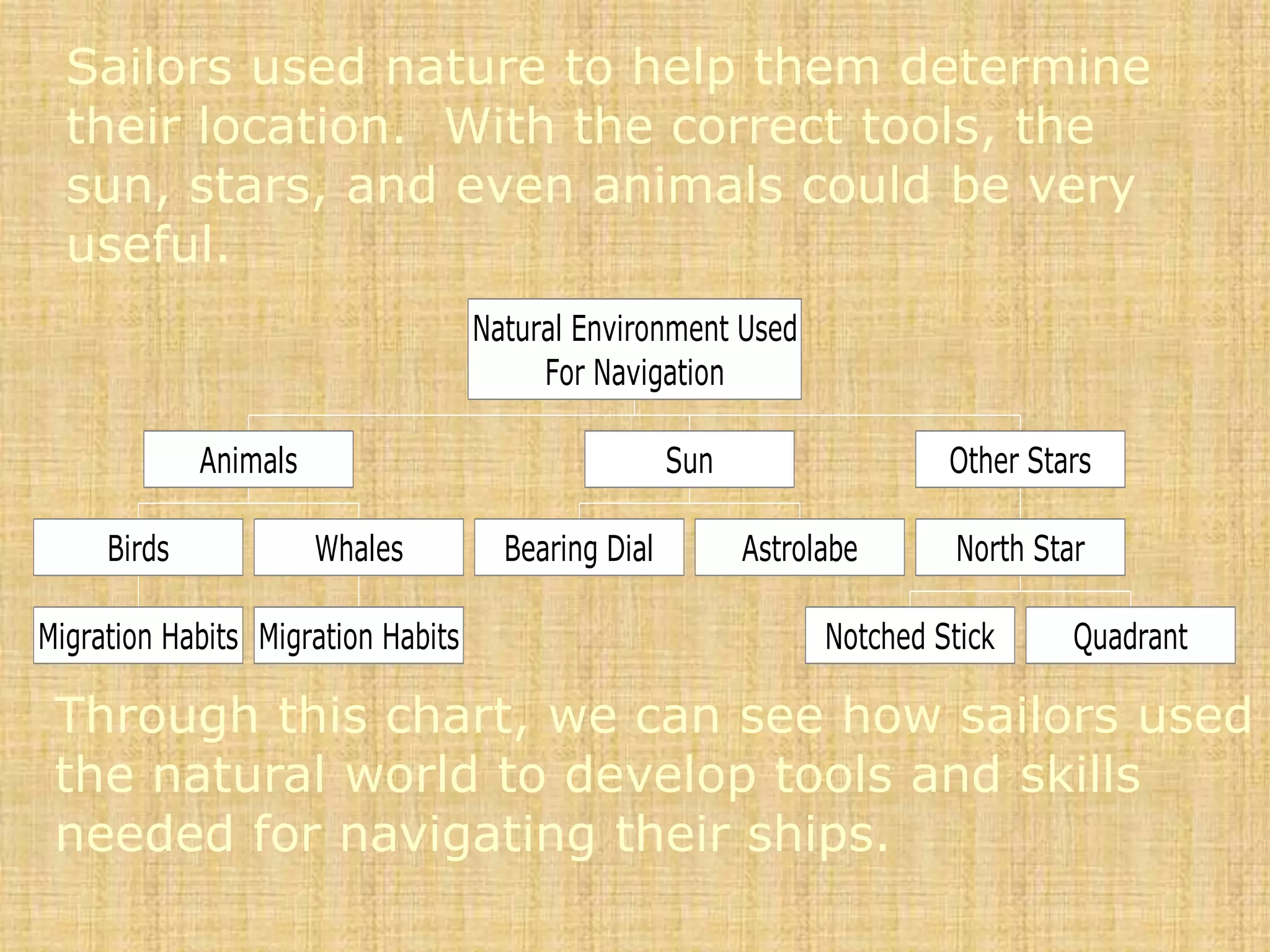
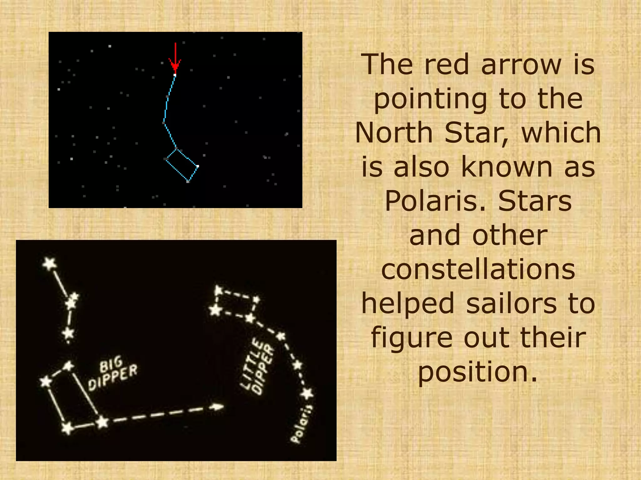
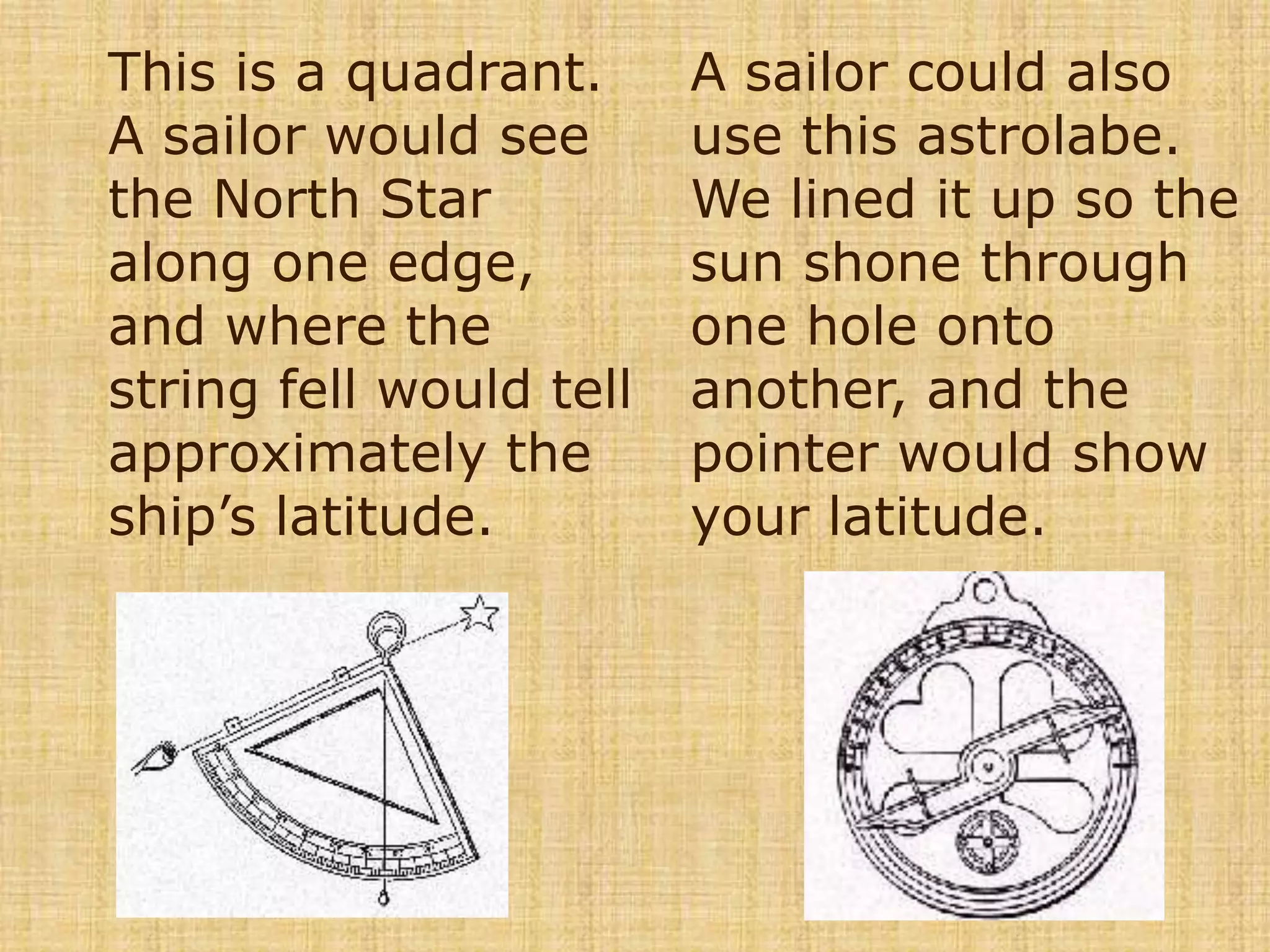
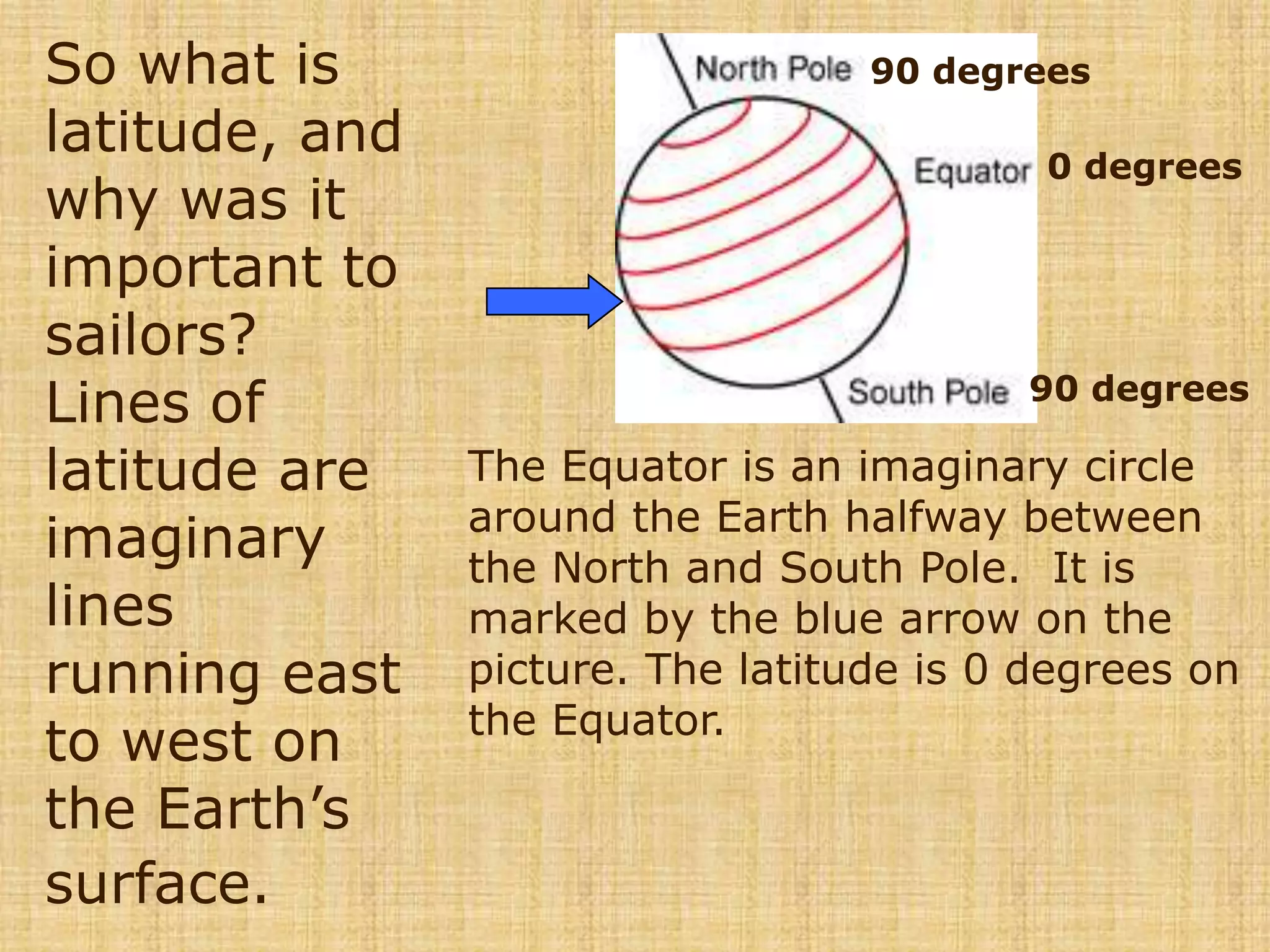
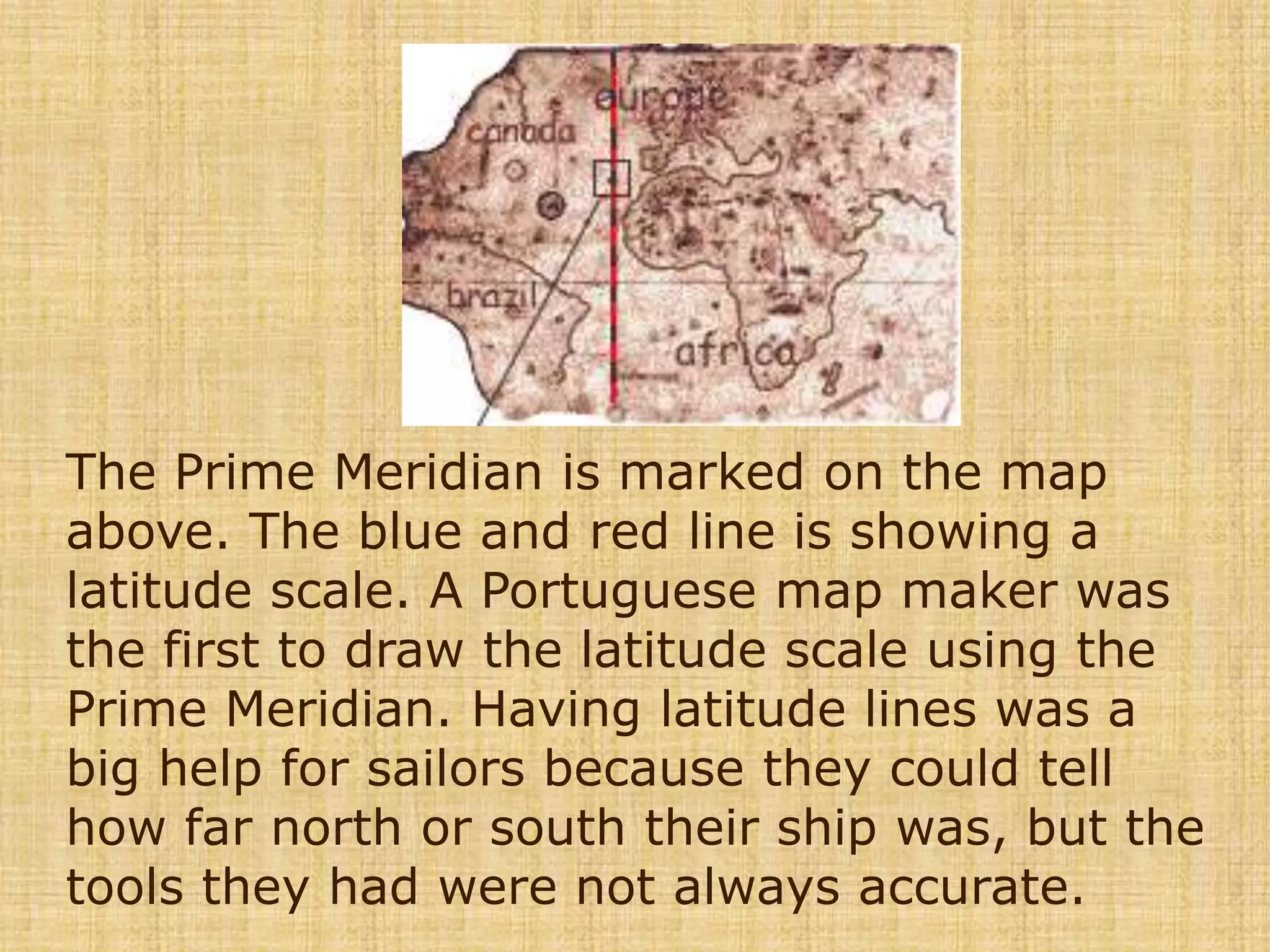
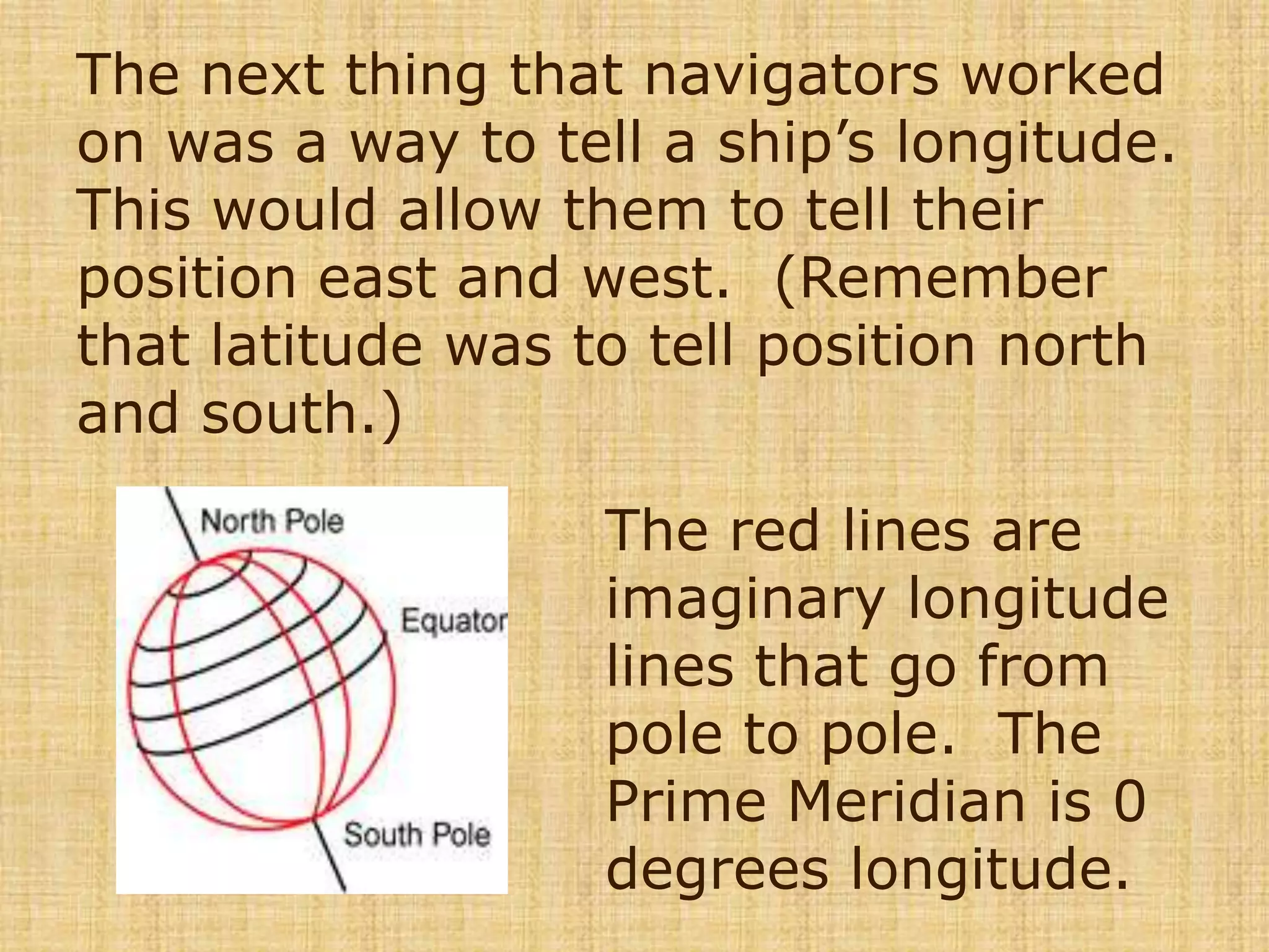
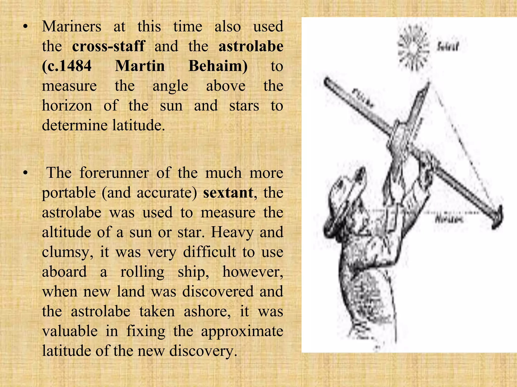
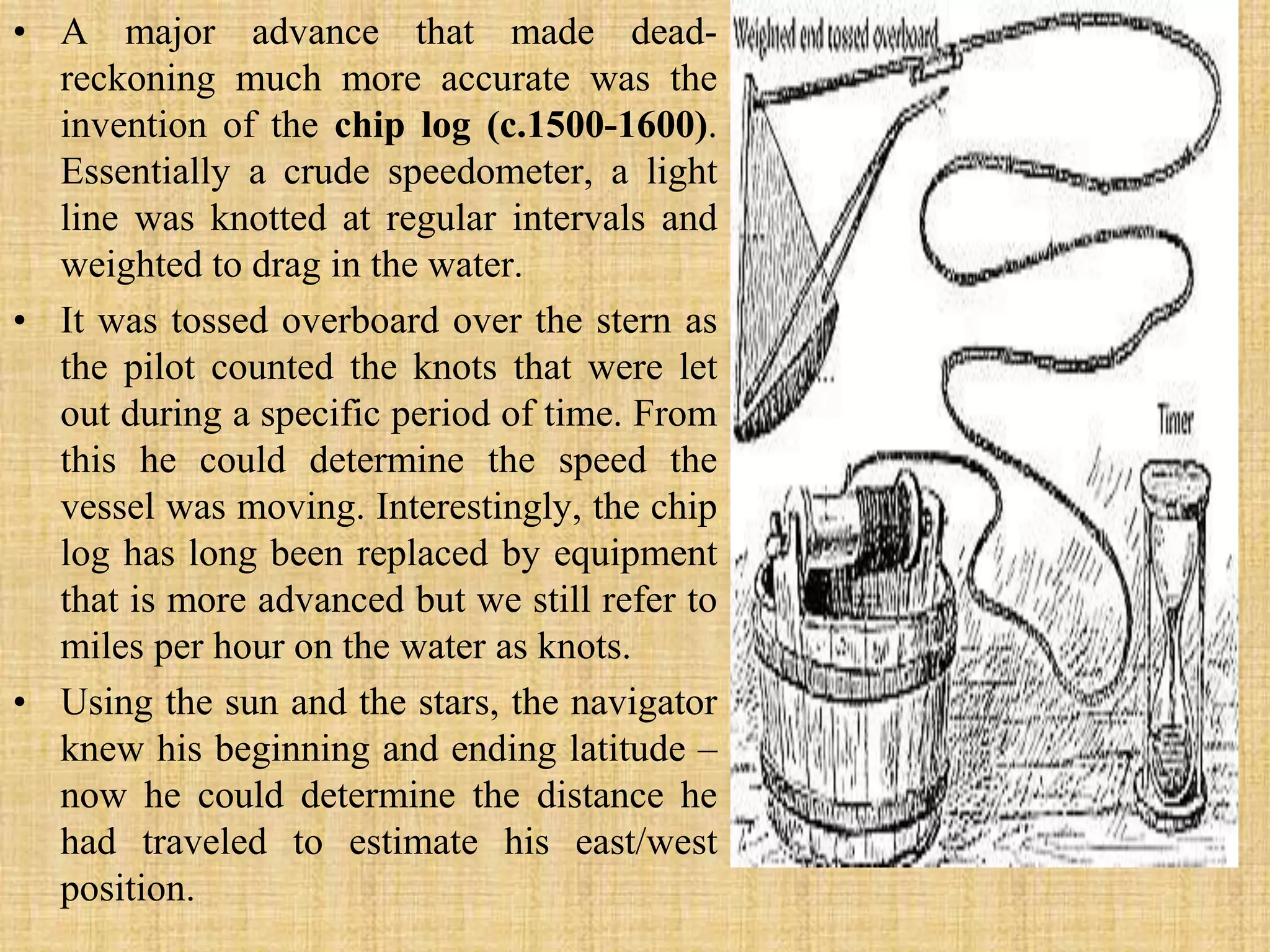
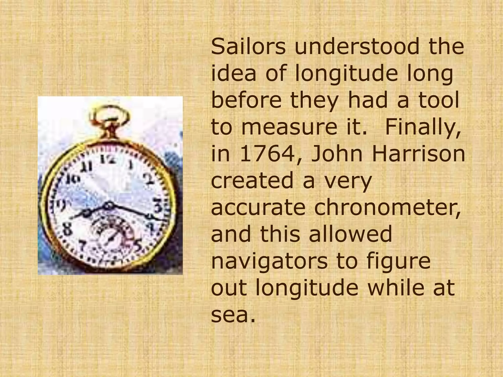
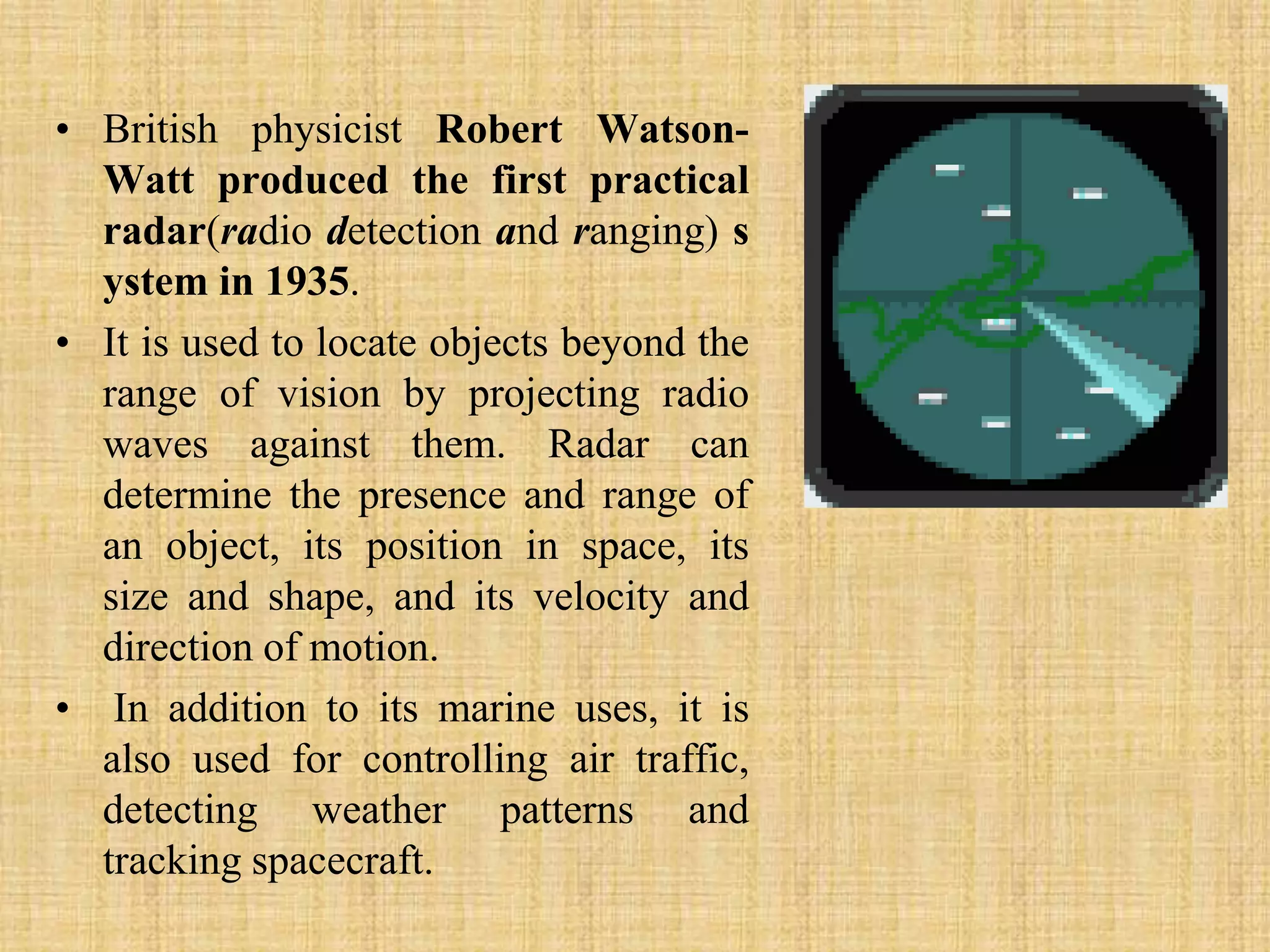
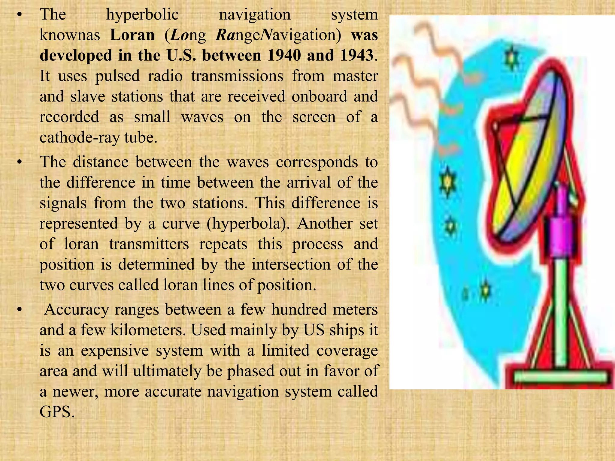
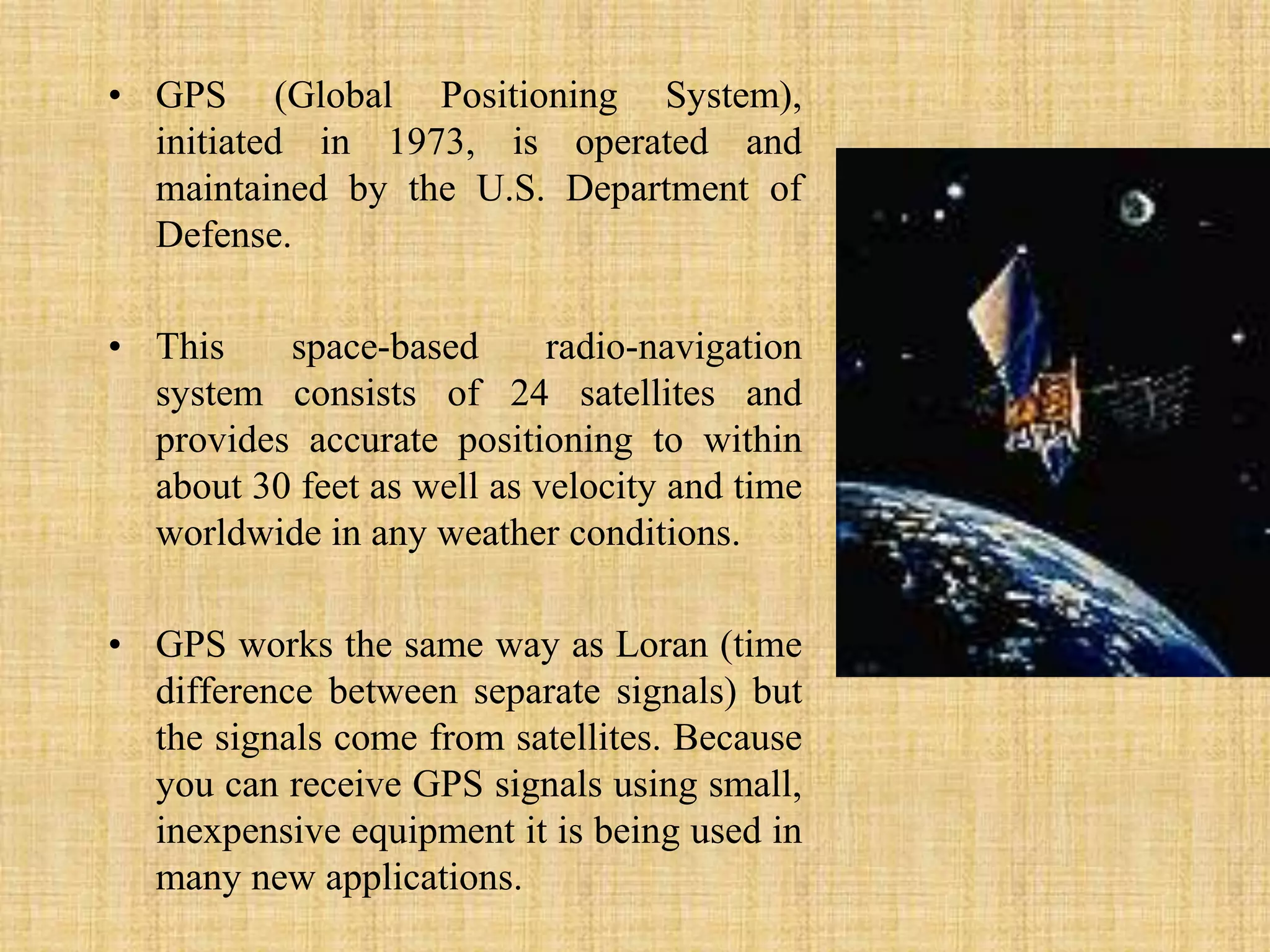
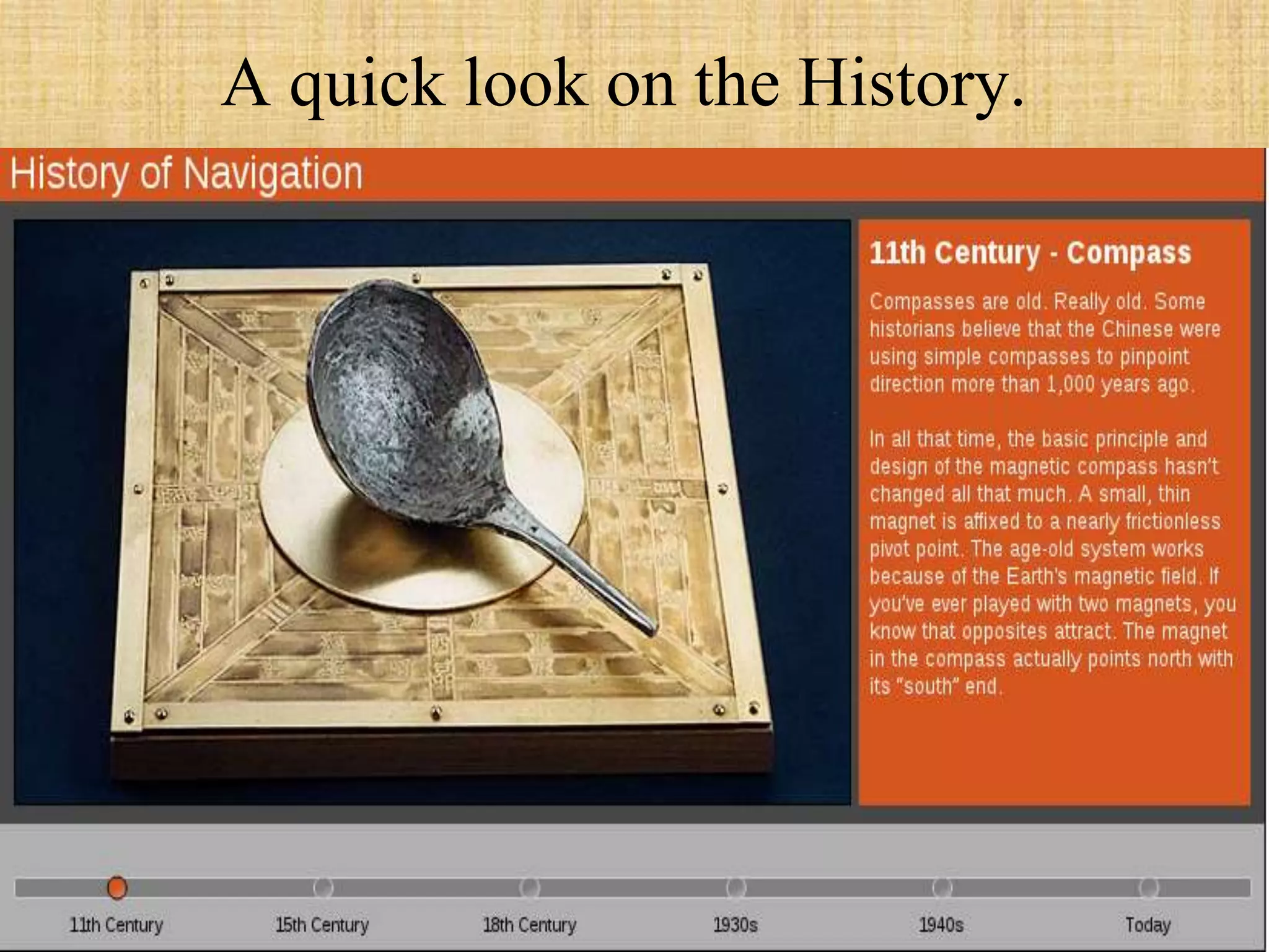
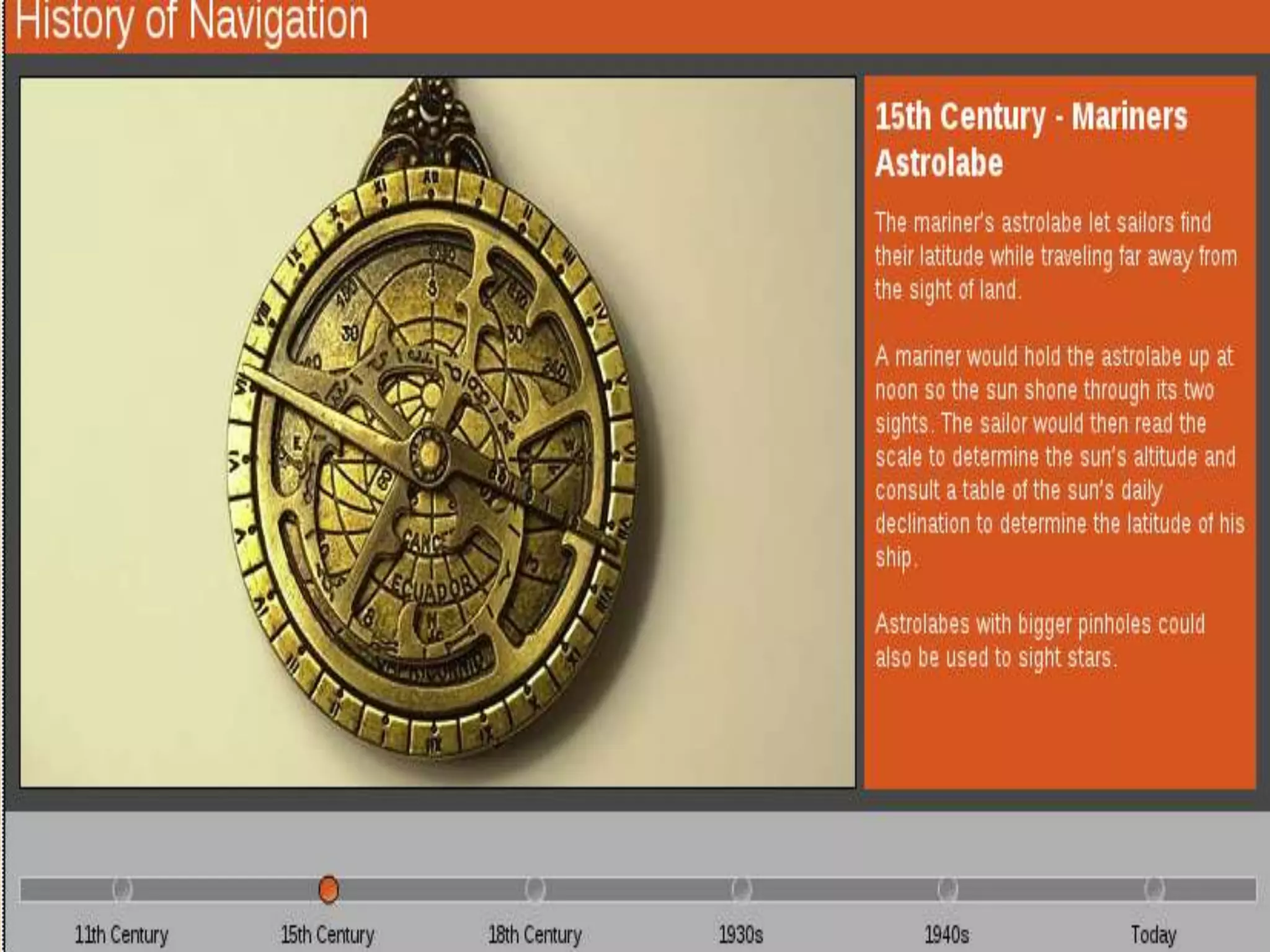
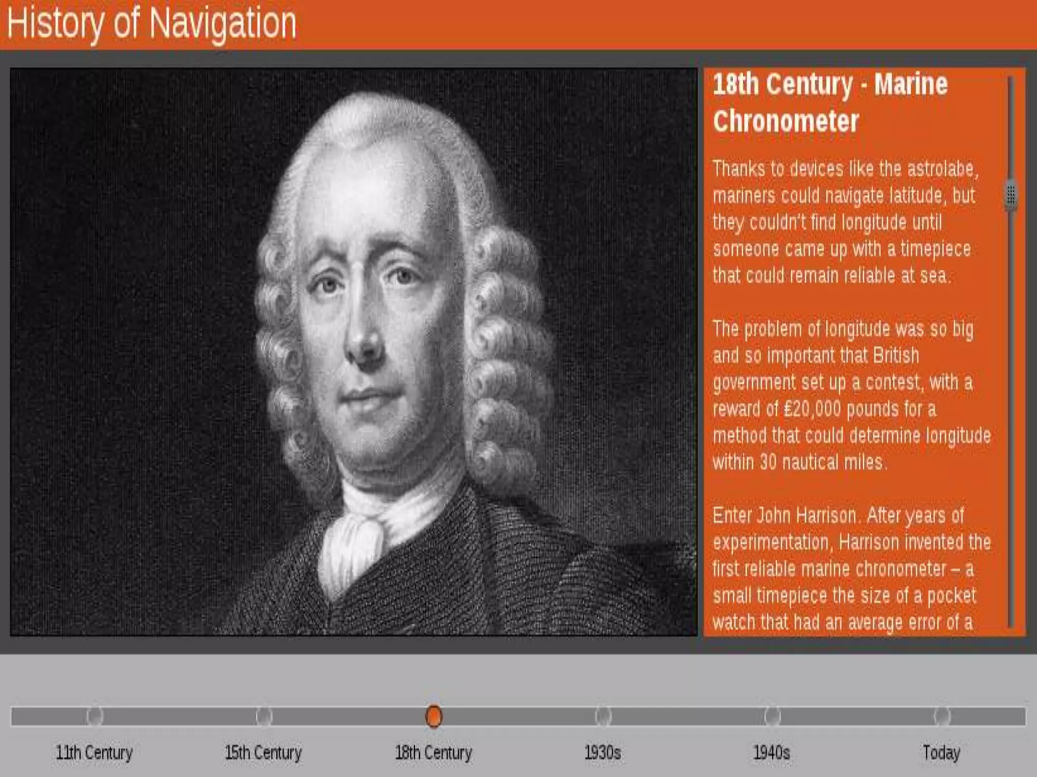
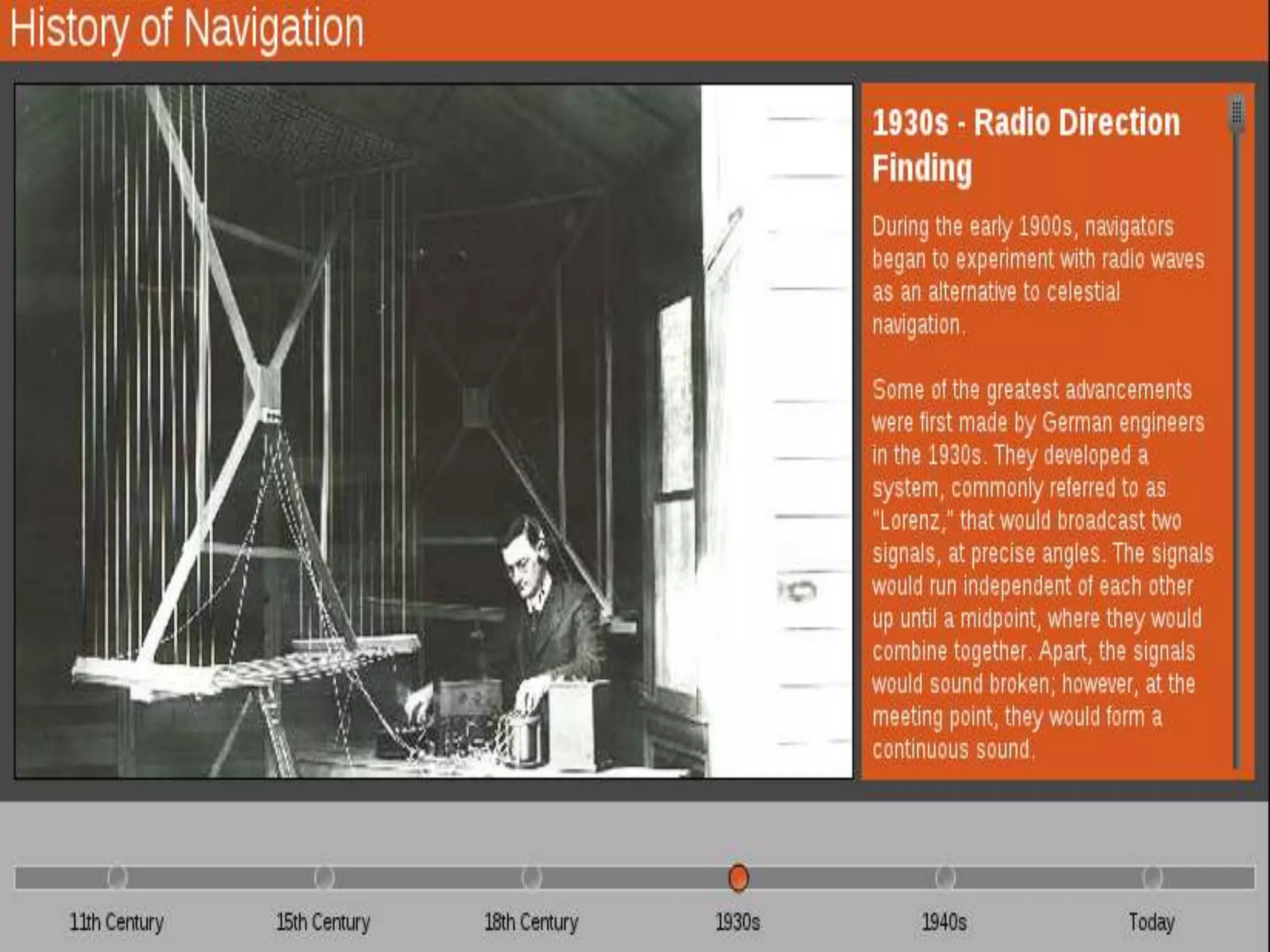
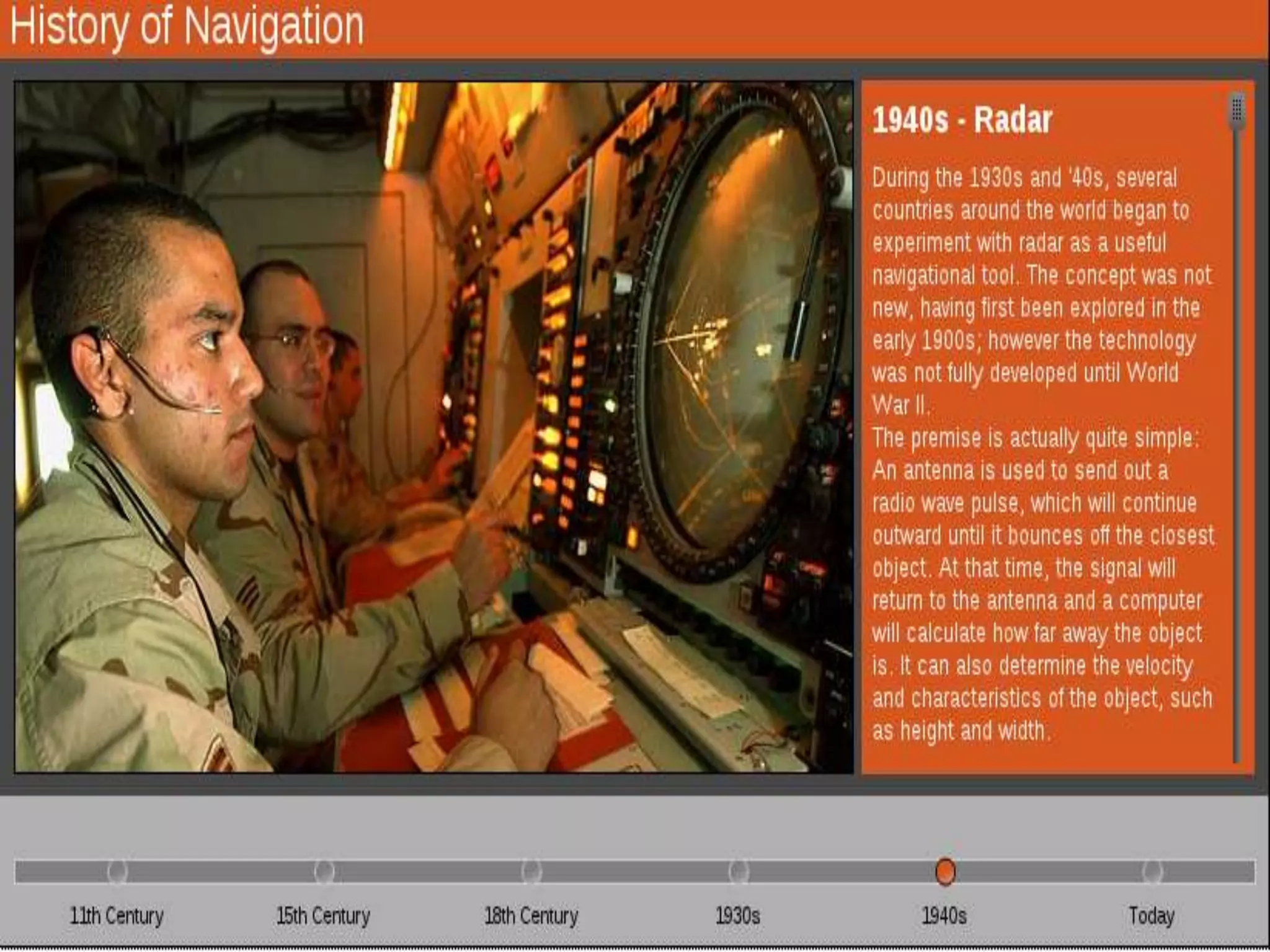
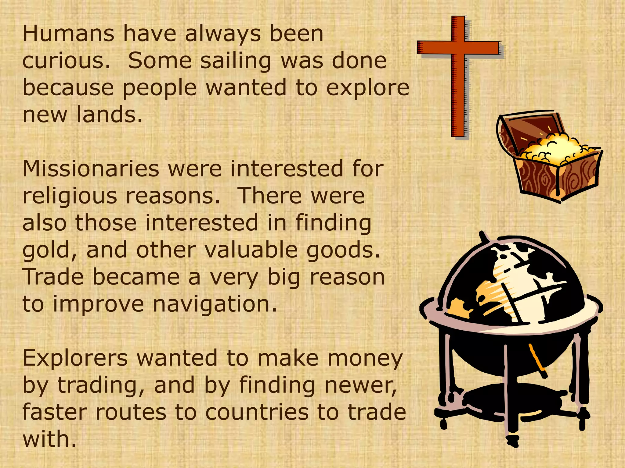
The document summarizes the history of navigation from ancient times to modern day. It describes how early navigators stayed close to shore and used landmarks to navigate before later developing tools like charts, quadrants, and astrolabes to determine latitude and longitude. Key advances included the invention of the chronometer to measure longitude in 1764 and modern technologies like radar, Loran, and GPS satellites that provide highly accurate global positioning. The overall progression showed how explorers improved navigation techniques and tools over time to trade, explore new lands, and spread religion more safely and efficiently around the world.