
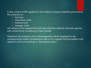
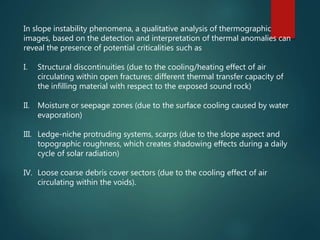
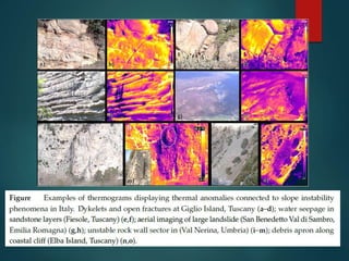
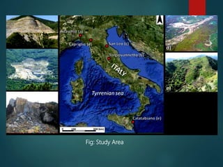
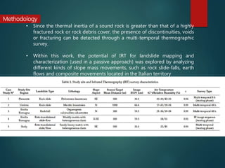


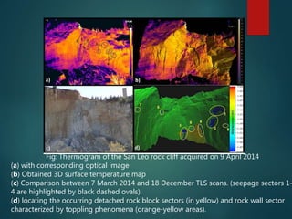
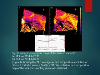
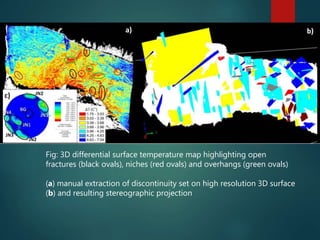
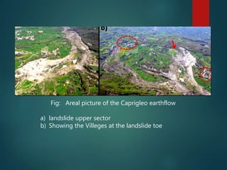
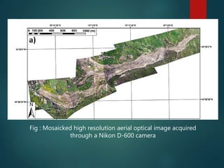
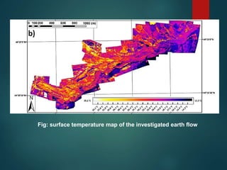
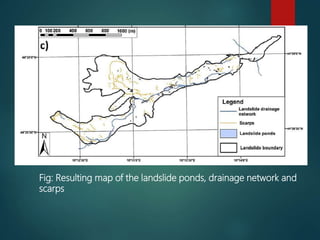
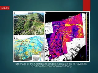


This document discusses a study that tested the use of infrared thermography (IRT) for landslide mapping and characterization. IRT uses infrared cameras to detect differences in surface temperature that can indicate features associated with landslide activity such as fractures, moisture zones, and loose debris. The study acquired IRT data from terrestrial and aerial platforms for several landslides in Italy. Thermograms revealed thermal anomalies corresponding to instability features and were geo-referenced for analysis in GIS. IRT provides a remote method for detailed landslide mapping and monitoring of hazardous areas.