


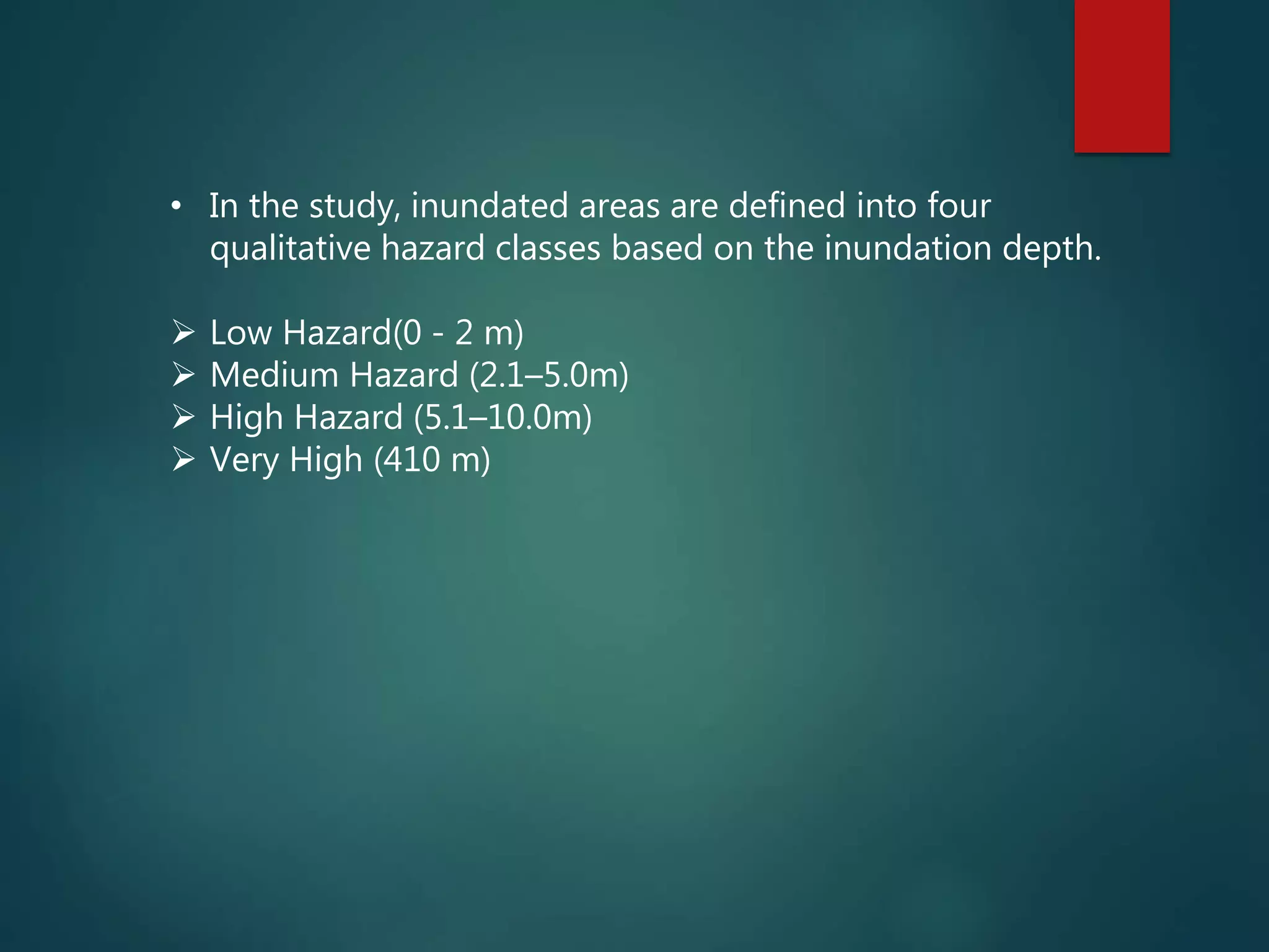

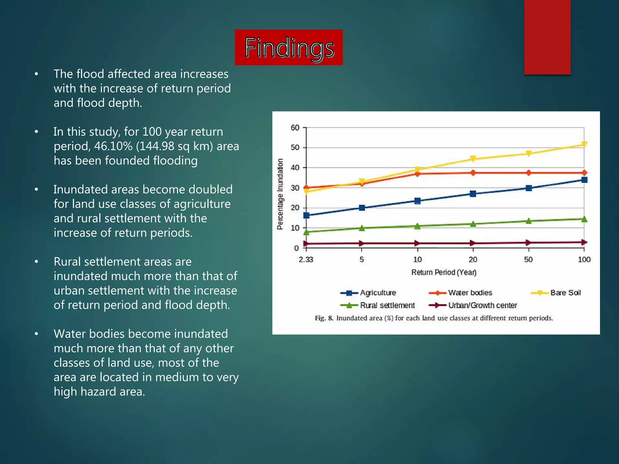

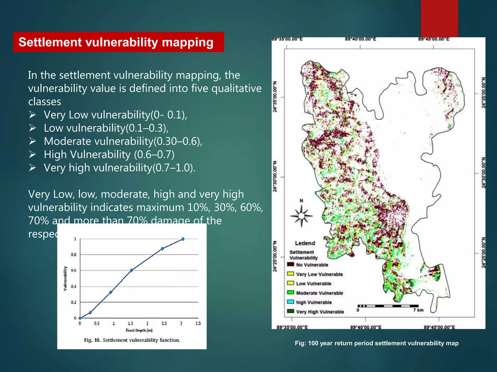


The document summarizes a study on flood hazard and vulnerability in Sirajganj Sadar Upazila, Bangladesh. The study uses digital elevation data to produce flood hazard maps at different return periods, assess crop and settlement vulnerability to flooding, and identify areas for flood mitigation. It finds that the area of flooding and vulnerability of agriculture, rural settlements, and water bodies increases significantly with higher return periods and flood depths. Crop and settlement vulnerability maps were also produced to classify vulnerability into very low to very high categories based on expected damage from flooding.


