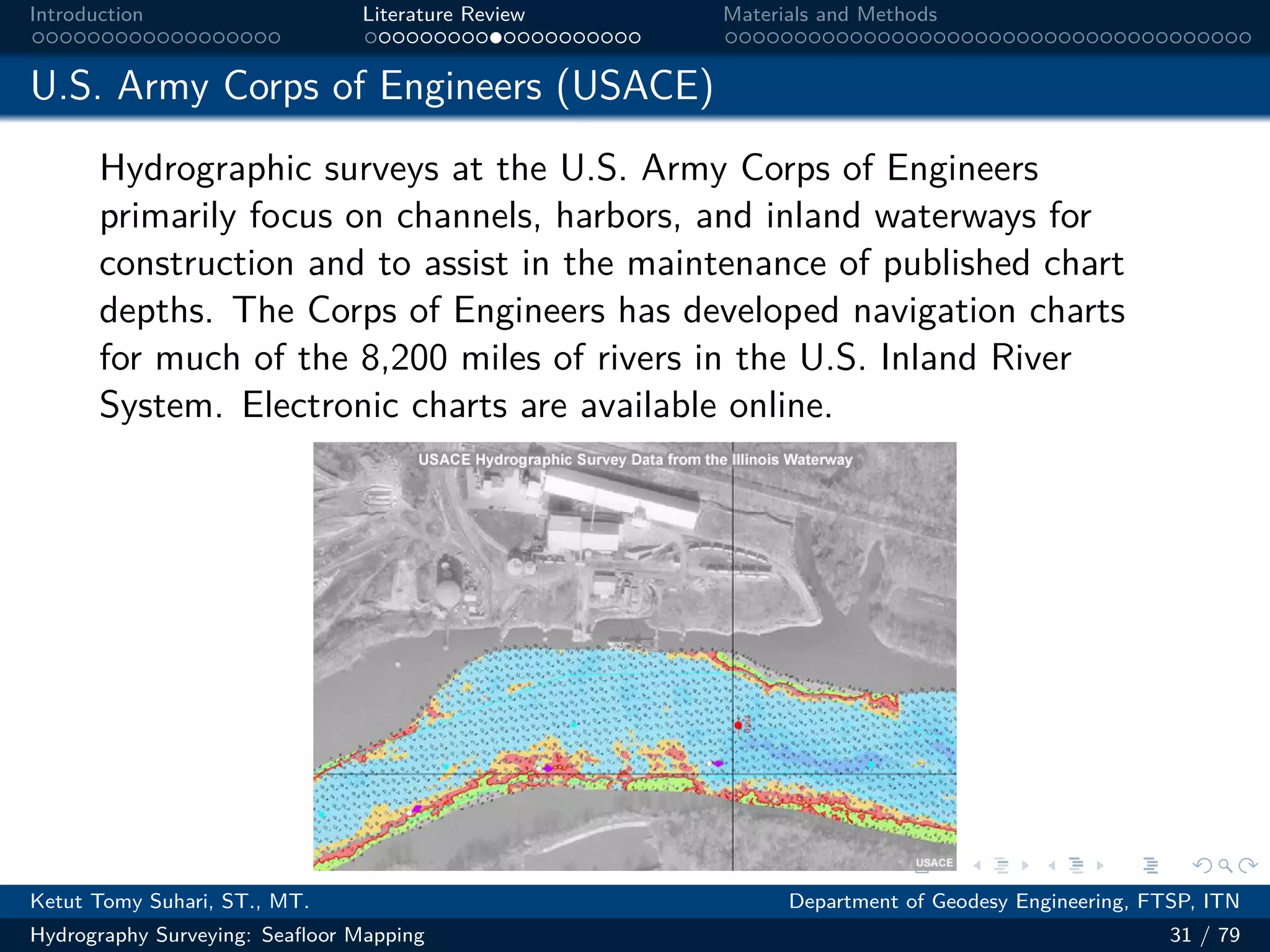
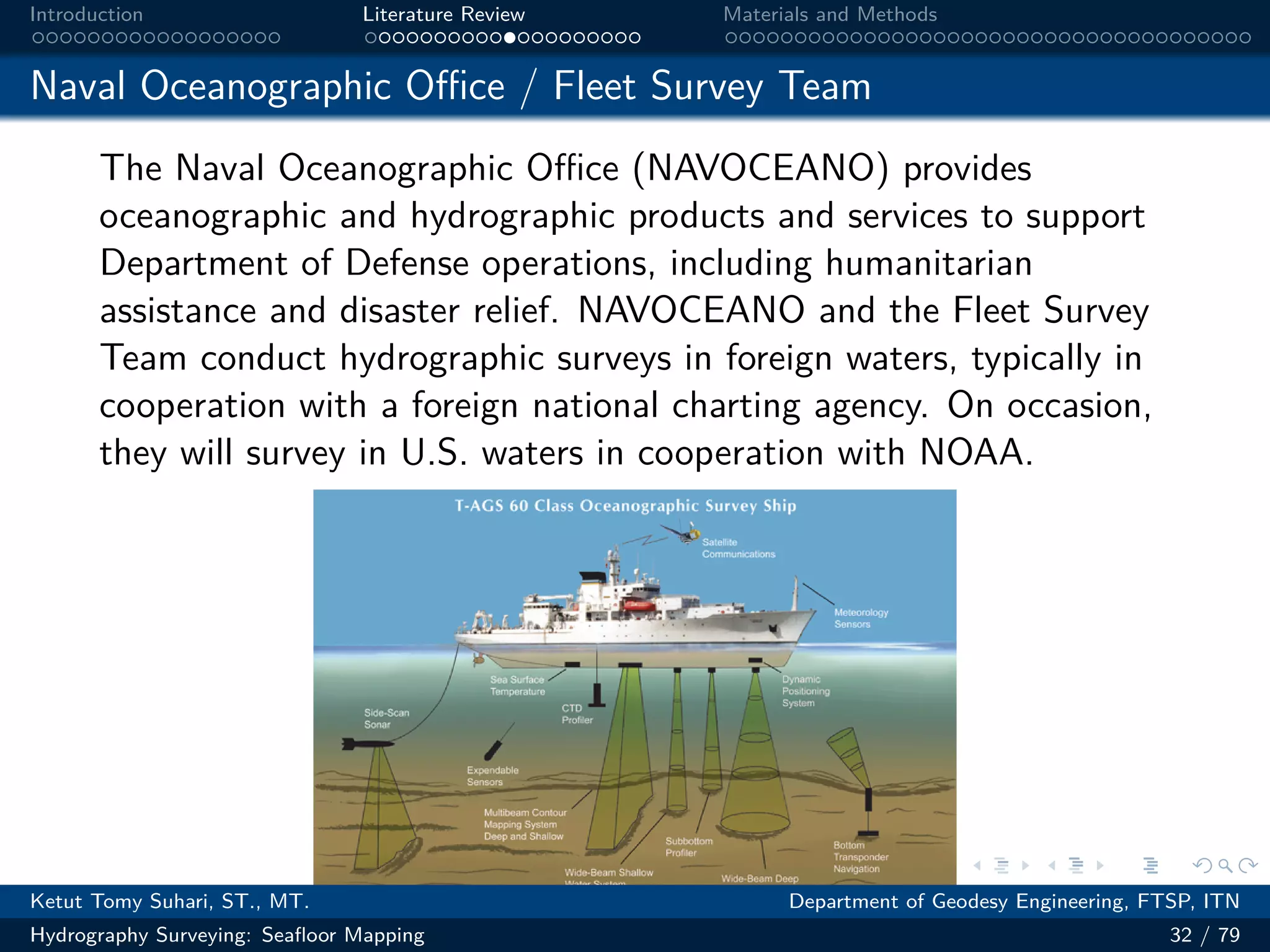
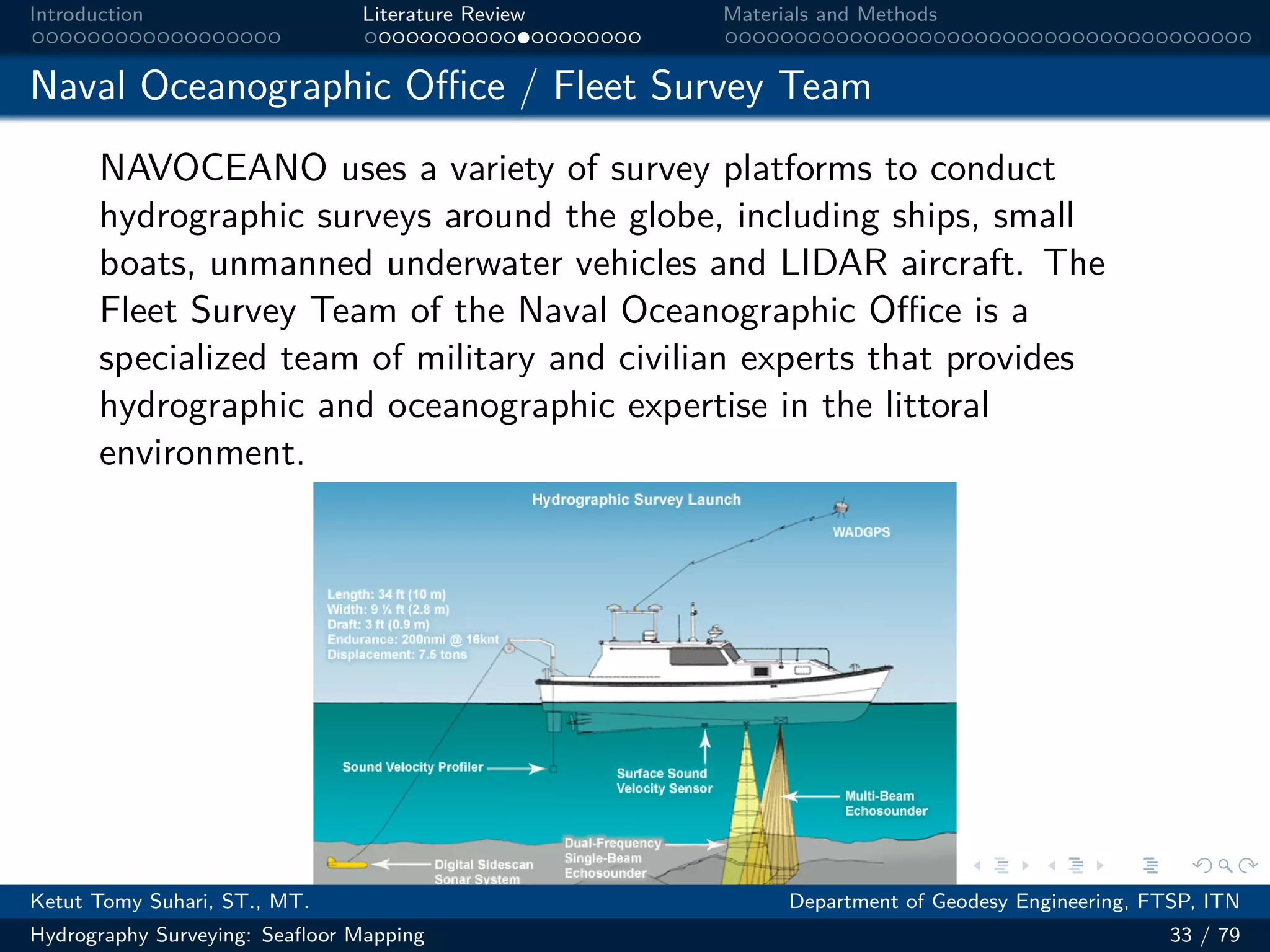
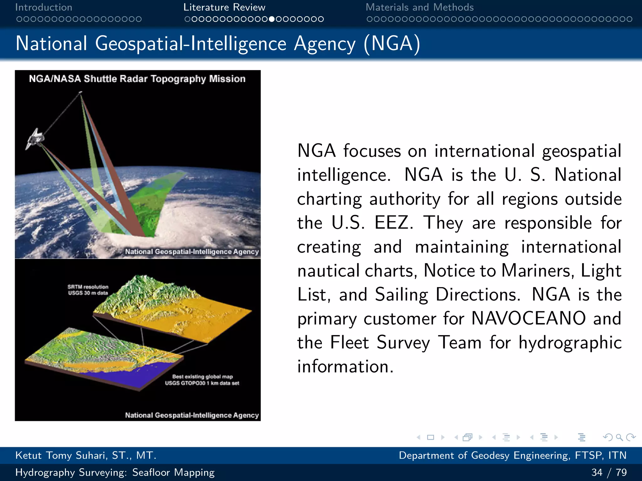
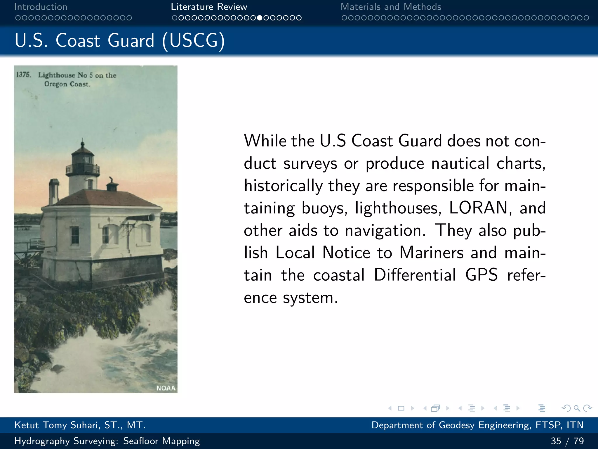
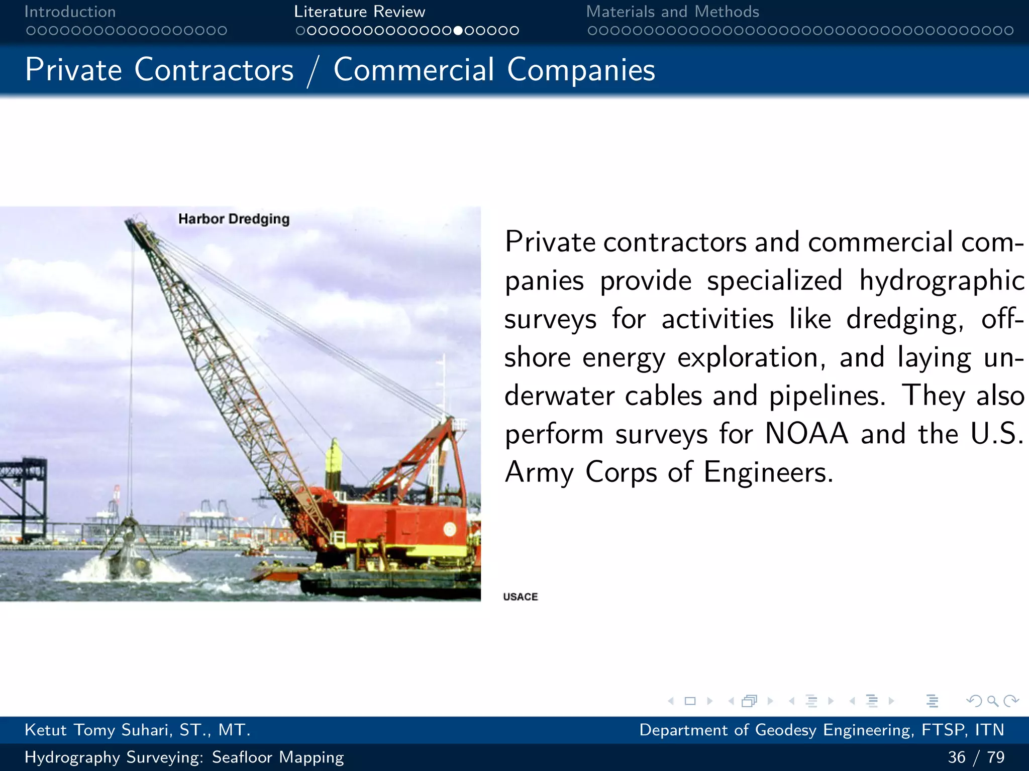
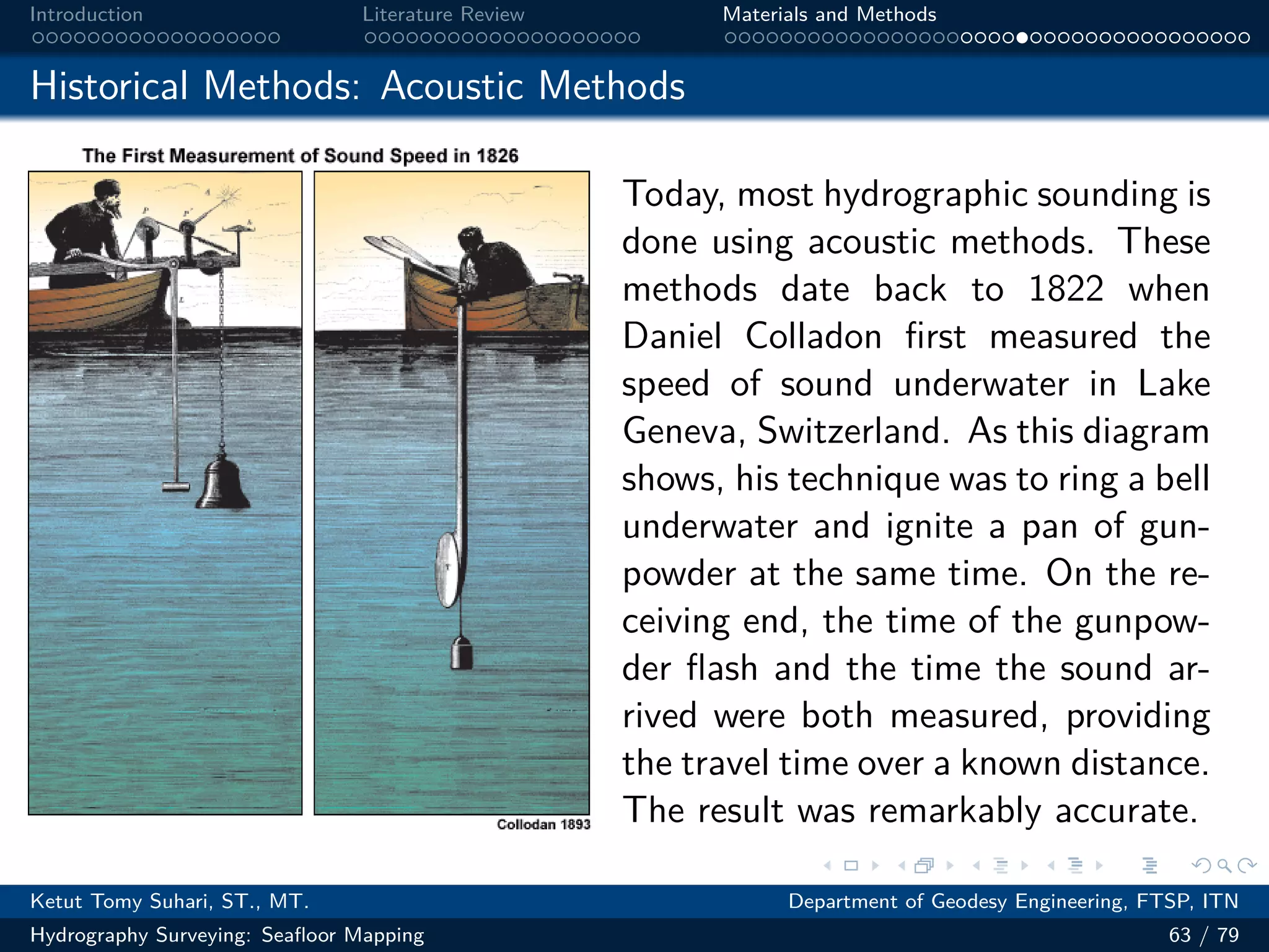
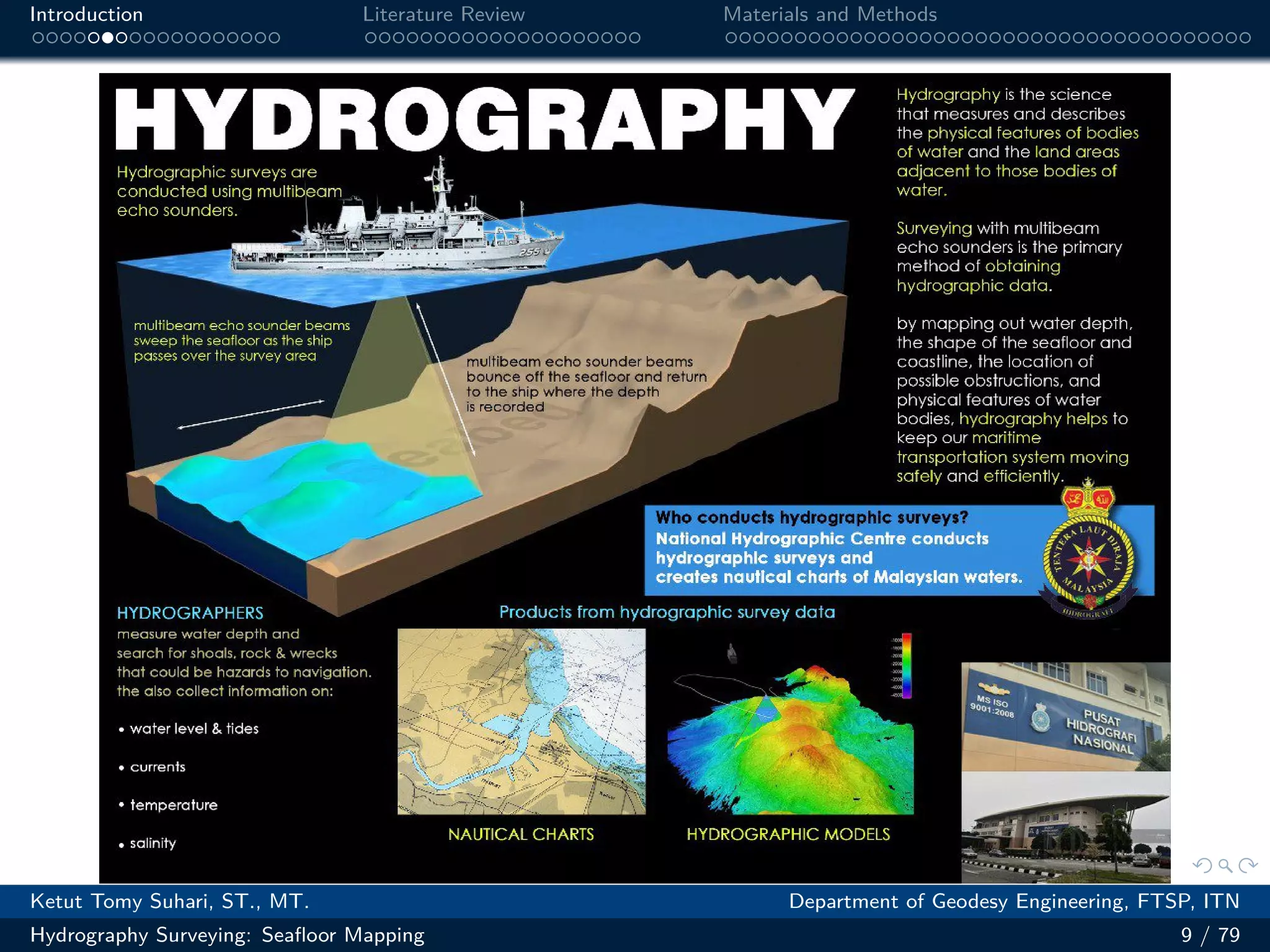
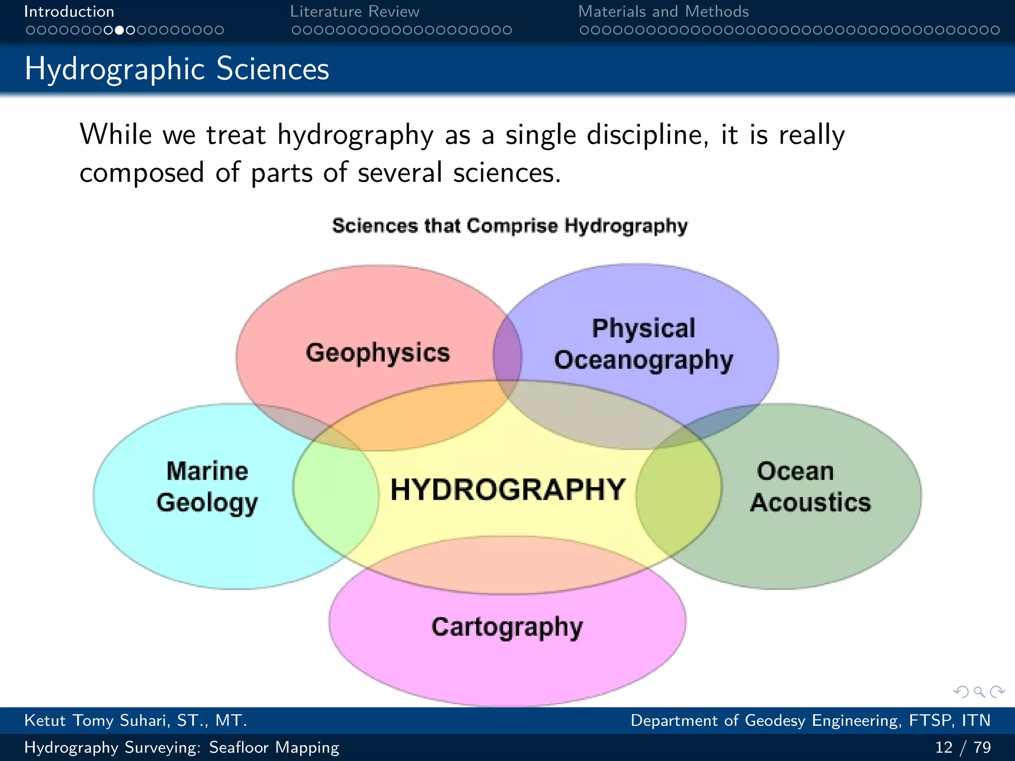
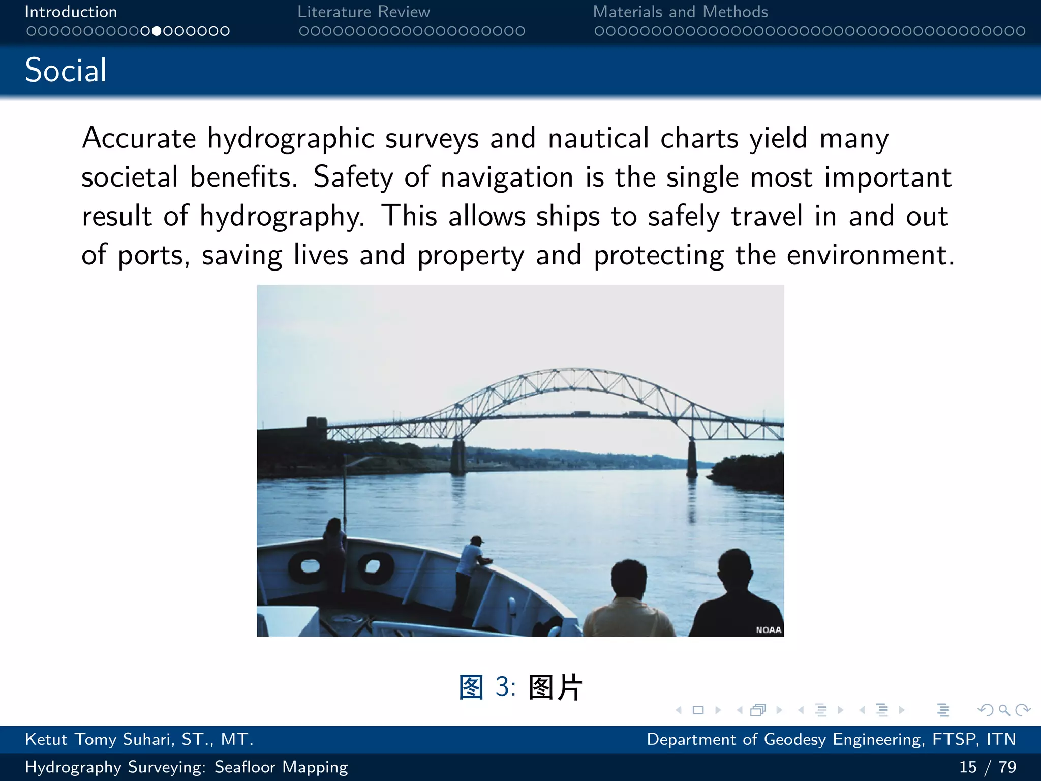
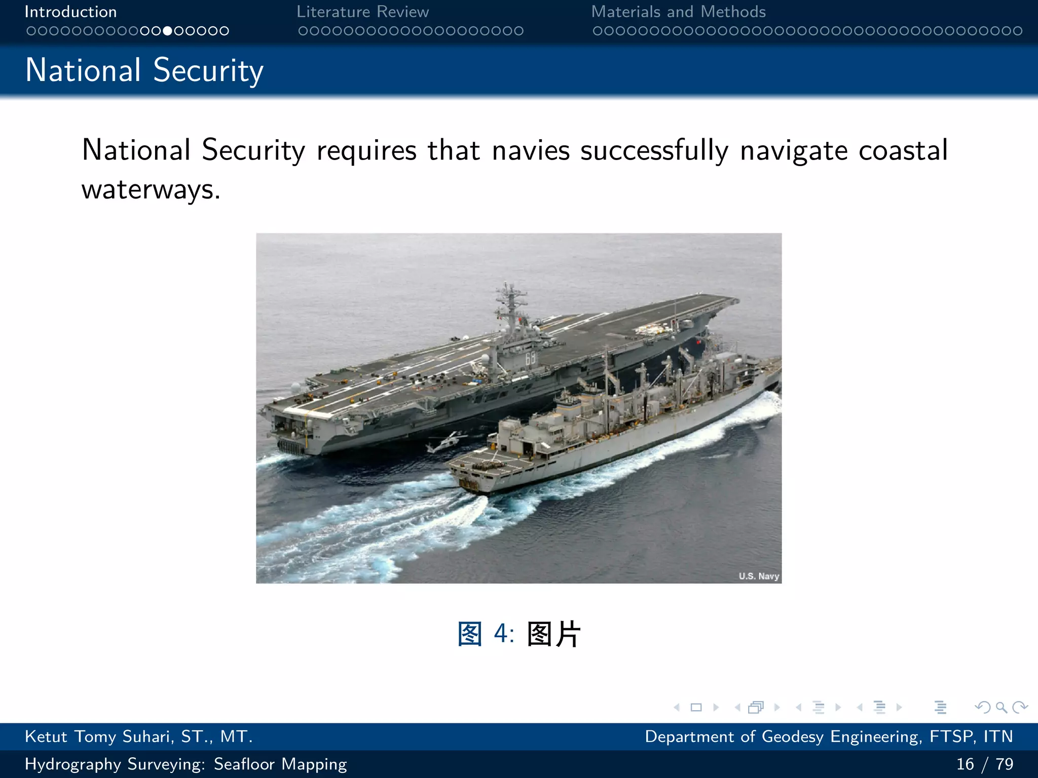
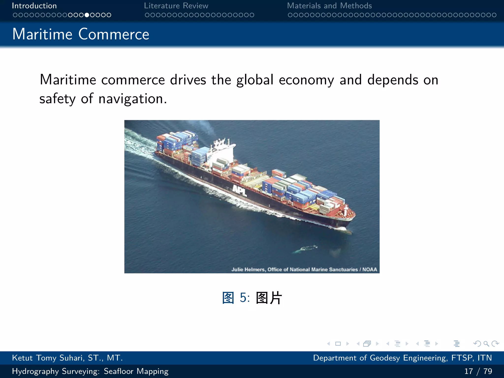
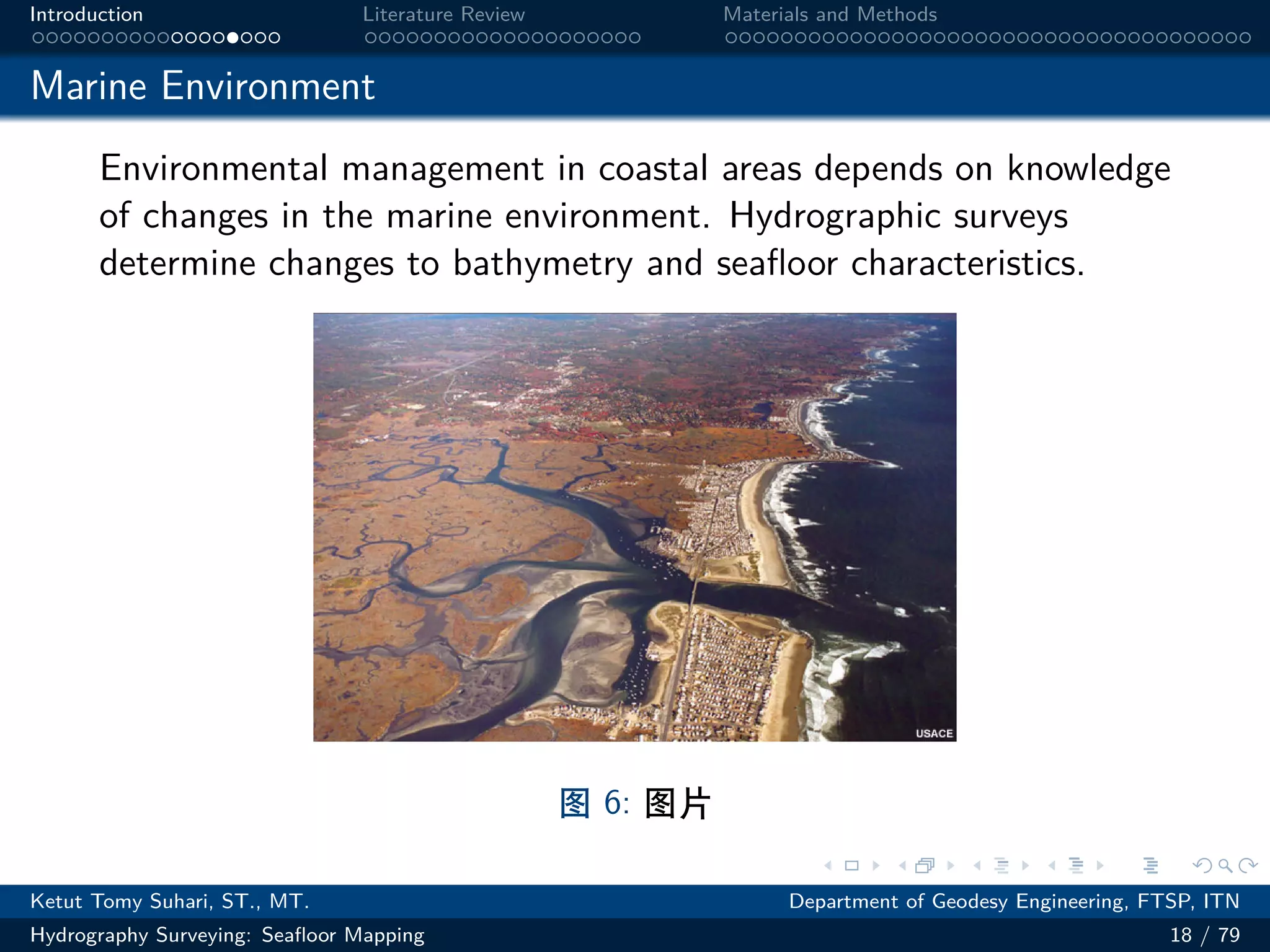
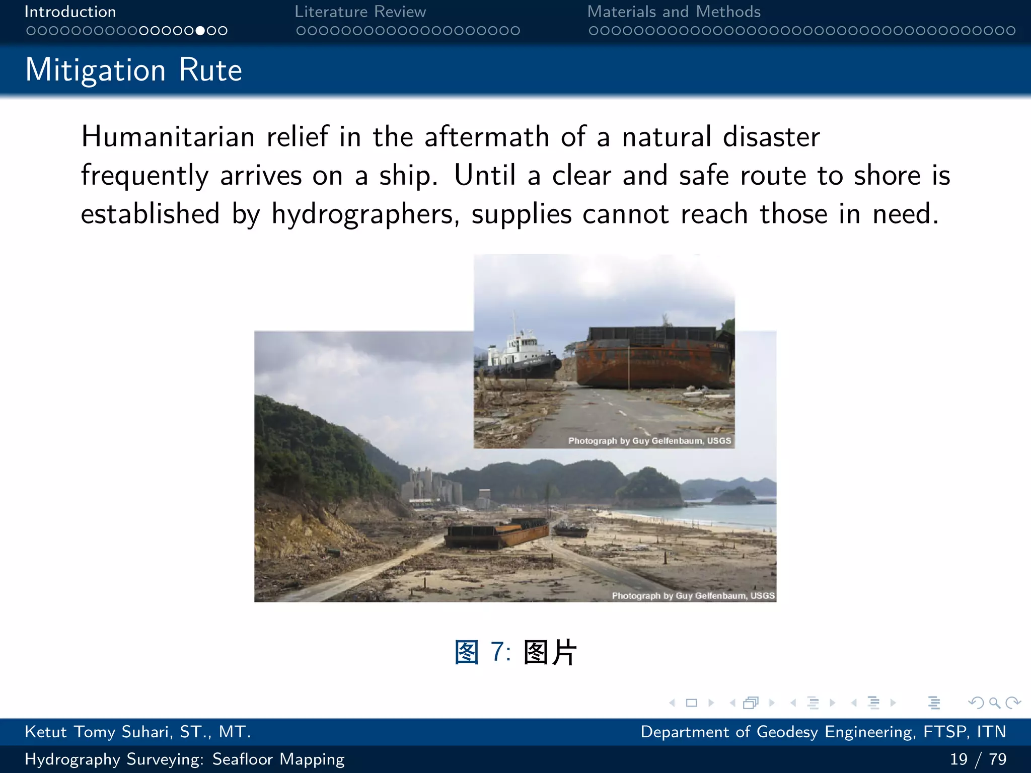
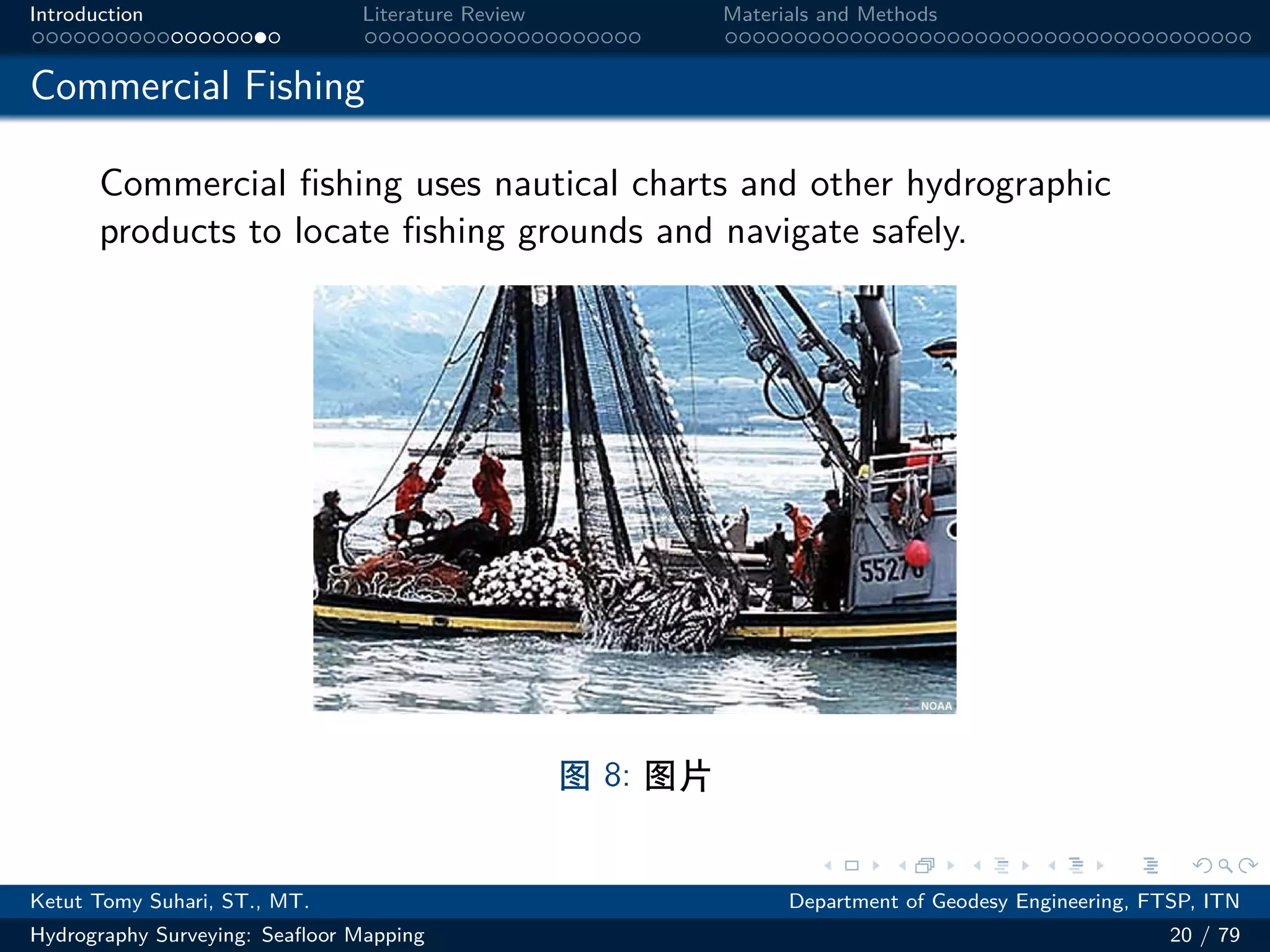
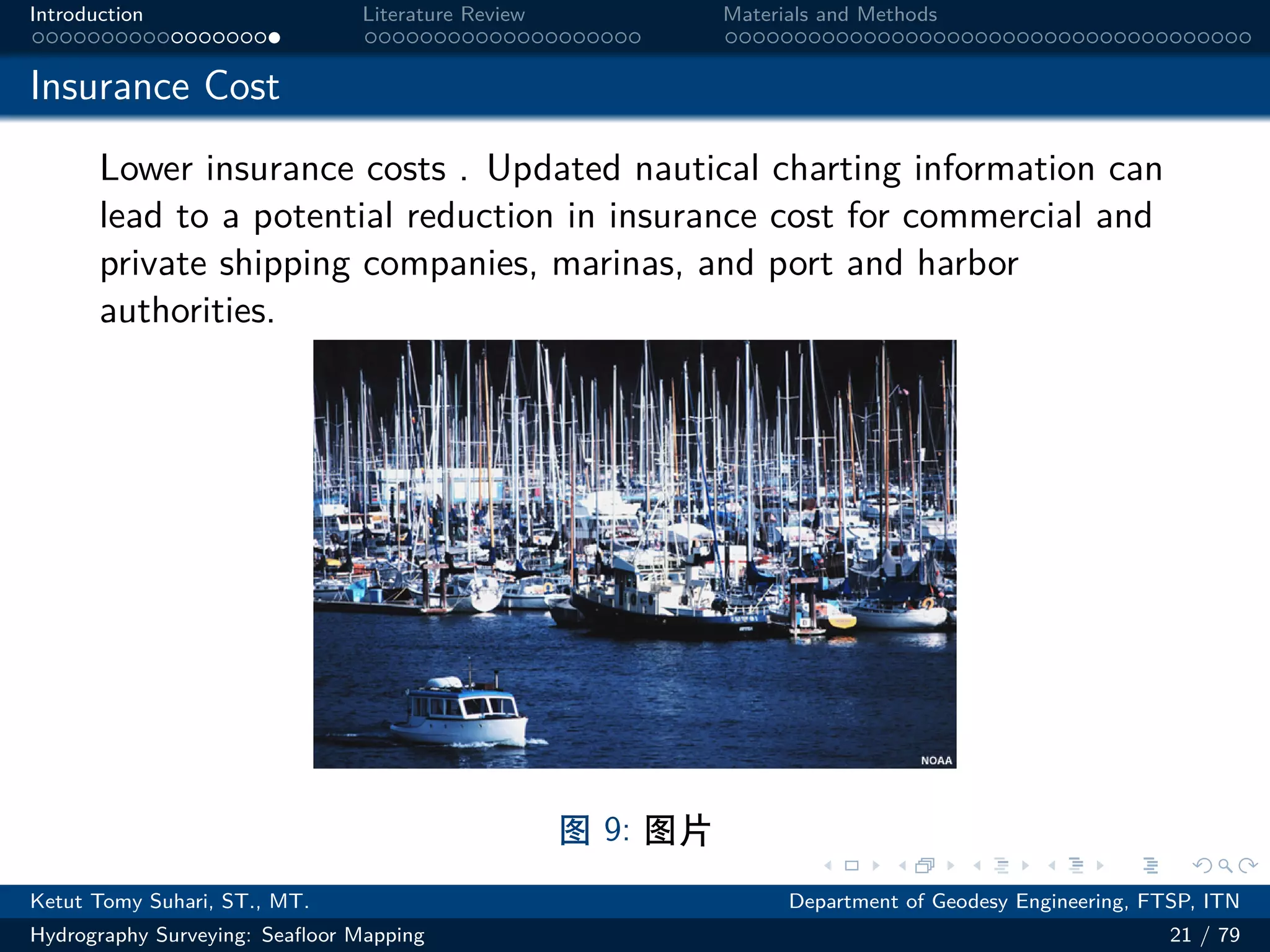
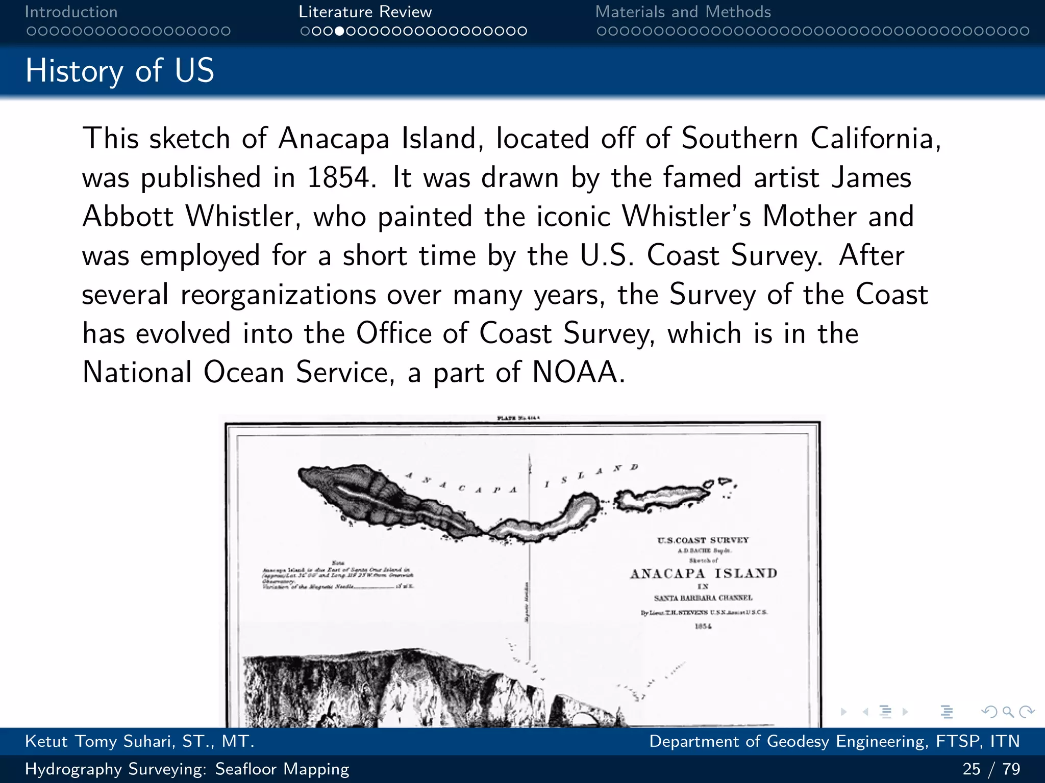
This document provides an introduction to hydrography surveying and seafloor mapping. It defines hydrography as dealing with measuring and describing physical features of bodies of water like oceans, seas, lakes and rivers for purposes like navigation safety. The key components of hydrographic surveys are positioning, depth measurement, feature identification and seafloor characterization to produce nautical charts. Hydrography utilizes various sciences including physical oceanography, acoustics, marine geology and cartography. Accurate hydrographic data and charts provide important benefits such as navigation safety, national security and enabling maritime commerce.


![.
.
.
.
.
.
.
.
.
.
.
.
.
.
.
.
.
.
.
.
.
.
.
.
.
.
.
.
.
.
.
.
.
.
.
.
.
.
.
.
Introduction Literature Review Materials and Methods
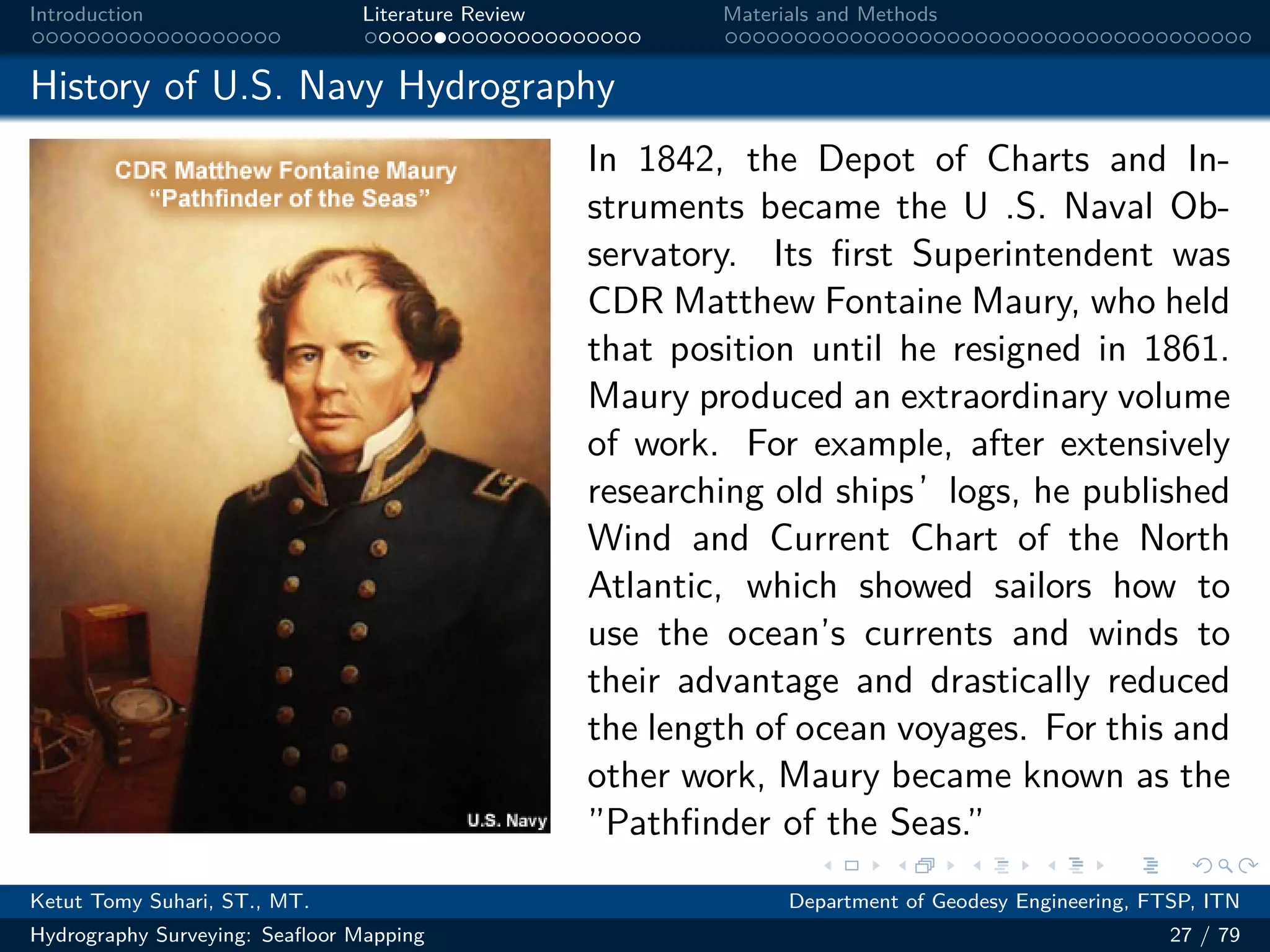
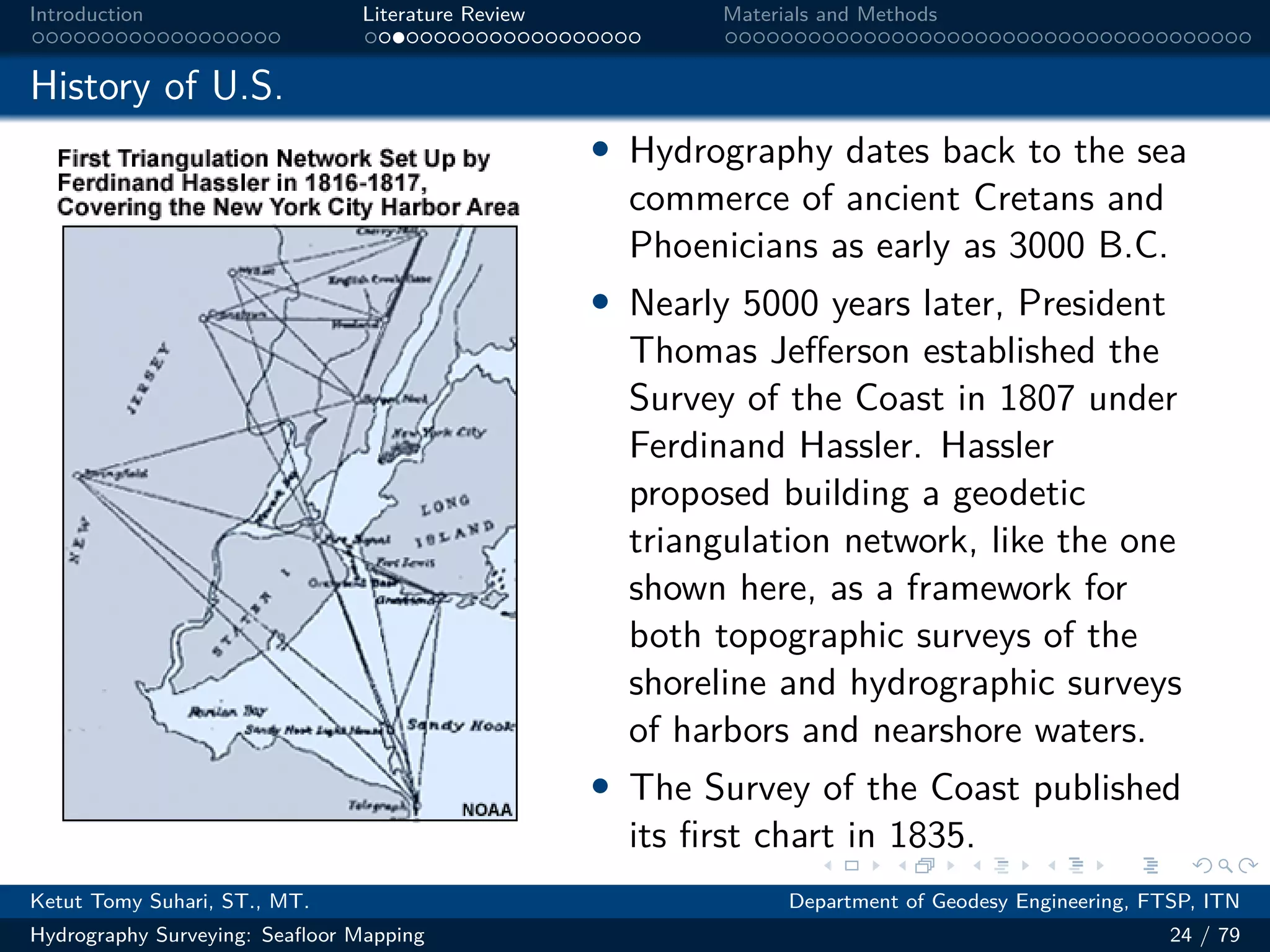
History of U.S. Navy Hydrography
The U.S. Navy’s entry into hydrography started in 1830 with
establishment of the Depot of Charts and Instruments under the
command of LT Charles Wilkes. Among Wilkes’accomplishments,
he lead an expedition in 1838 to explore and survey the Southern
Ocean and ”determine the existence of all doubtful islands and
shoals, as to discover, and accurately fix, the position of those
which [lay] in or near the track of our vessels in that quarter.”[J.K.
Paulding, Secretary of the Navy, 1838]
Ketut Tomy Suhari, ST., MT. Department of Geodesy Engineering, FTSP, ITN
Hydrography Surveying: Seafloor Mapping 26 / 79](https://image.slidesharecdn.com/kts-hydrographysurveying-introduction-231004115411-84e49294/75/KTS-Hydrography-Surveying-Introduction-pdf-28-2048.jpg)