Download to read offline

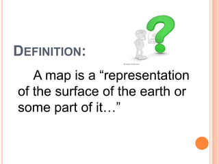
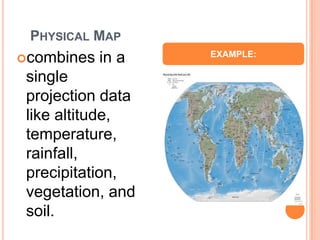
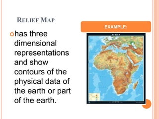
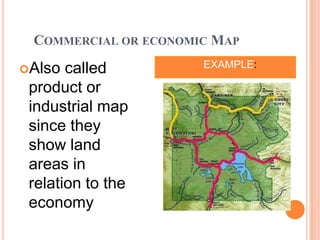
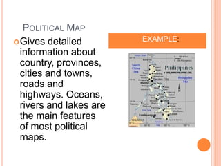
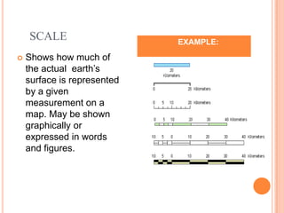
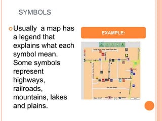
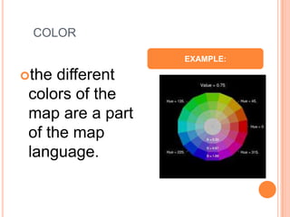
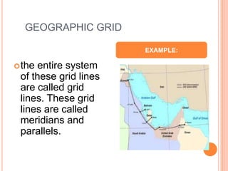
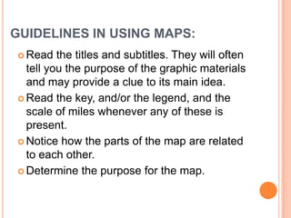


Maps come in different types that represent various data about the earth's surface. Physical maps combine data on altitude, temperature, rainfall and more. Relief maps use contours to show three-dimensional representations of physical data. Commercial maps depict land use in relation to economic activity. Political maps provide detailed information on countries, cities, and transportation networks. All maps use symbols, color, scales and grid lines as part of their language to convey geographic information. Users should read titles, legends and scales to understand a map's purpose and how its elements are related. While maps can help visualize locations and analyze problems, some students may find them distracting at first.