1. Maps, globes, sketches, plans, diagrams and aerial photographs are used to represent various features of the Earth.
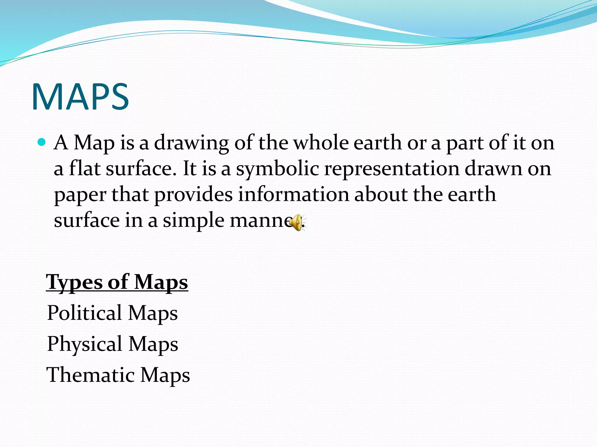
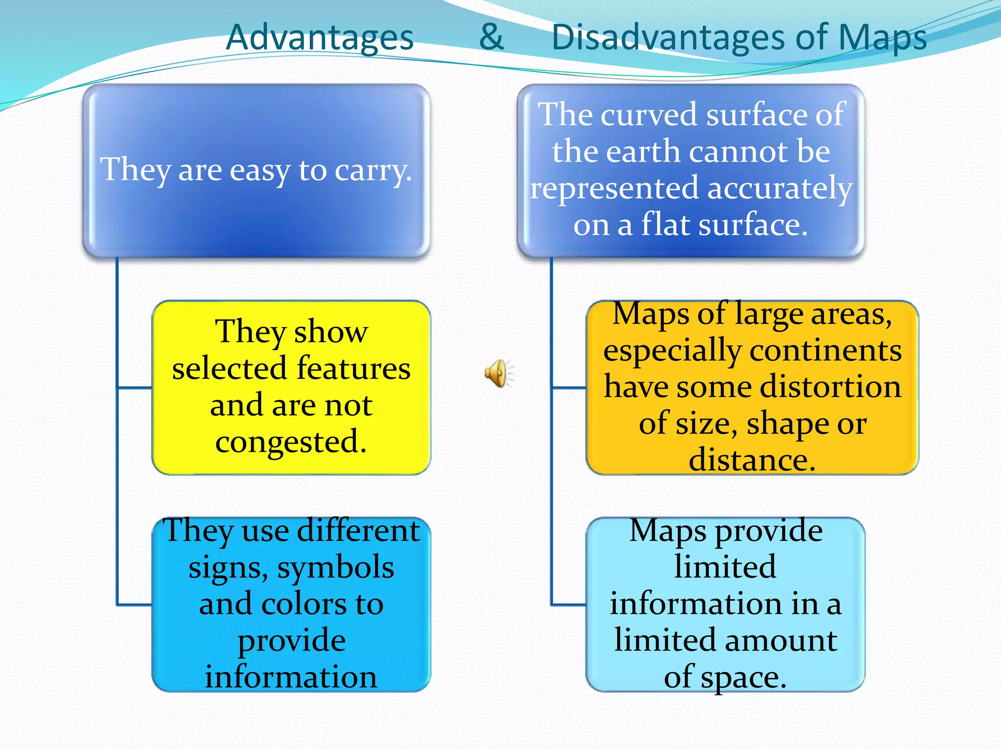
2. Maps show selected features on a flat surface using symbols and colors, making them easy to interpret but some distortion occurs.
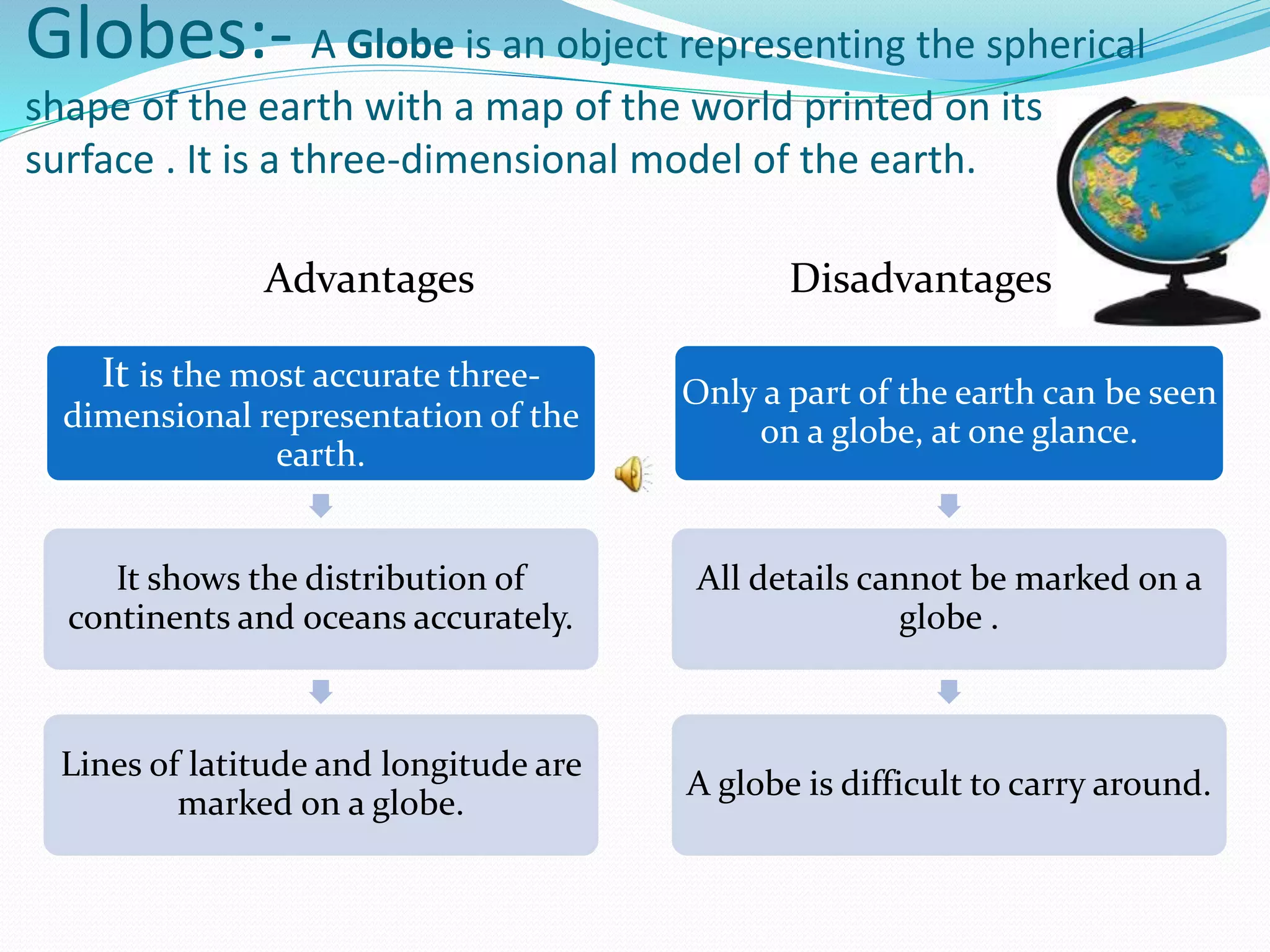
3. Globes most accurately show the spherical shape and spatial relationships of Earth's features and lines, but only a portion is visible at once.
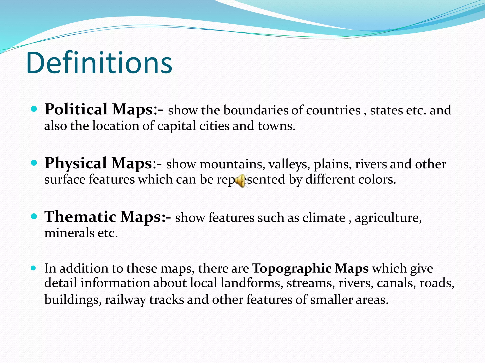
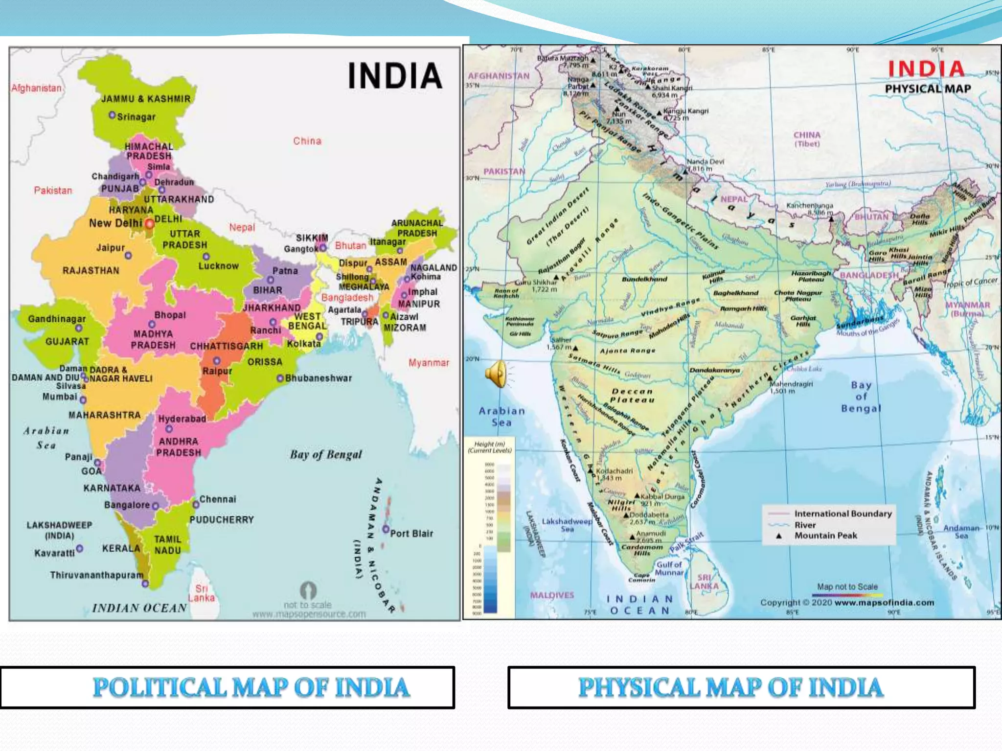
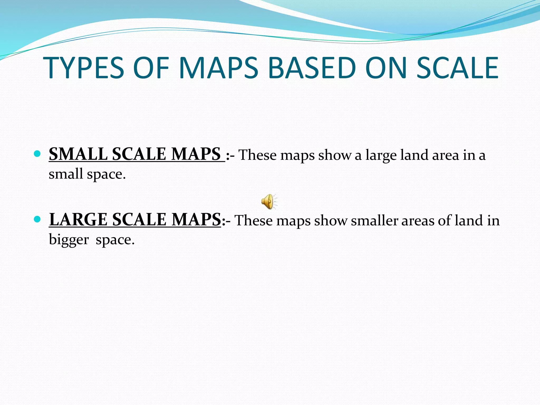
4. Different map types, such as political, physical and thematic maps, show boundaries, terrain or climate information respectively.