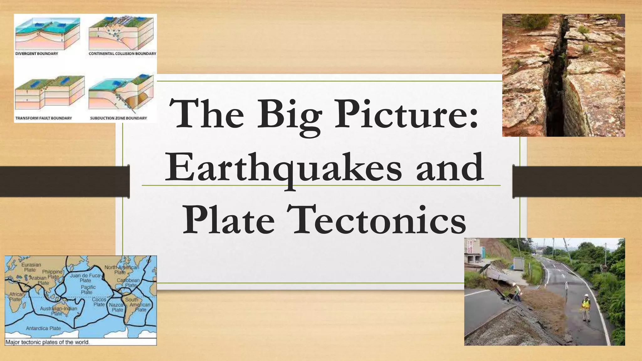
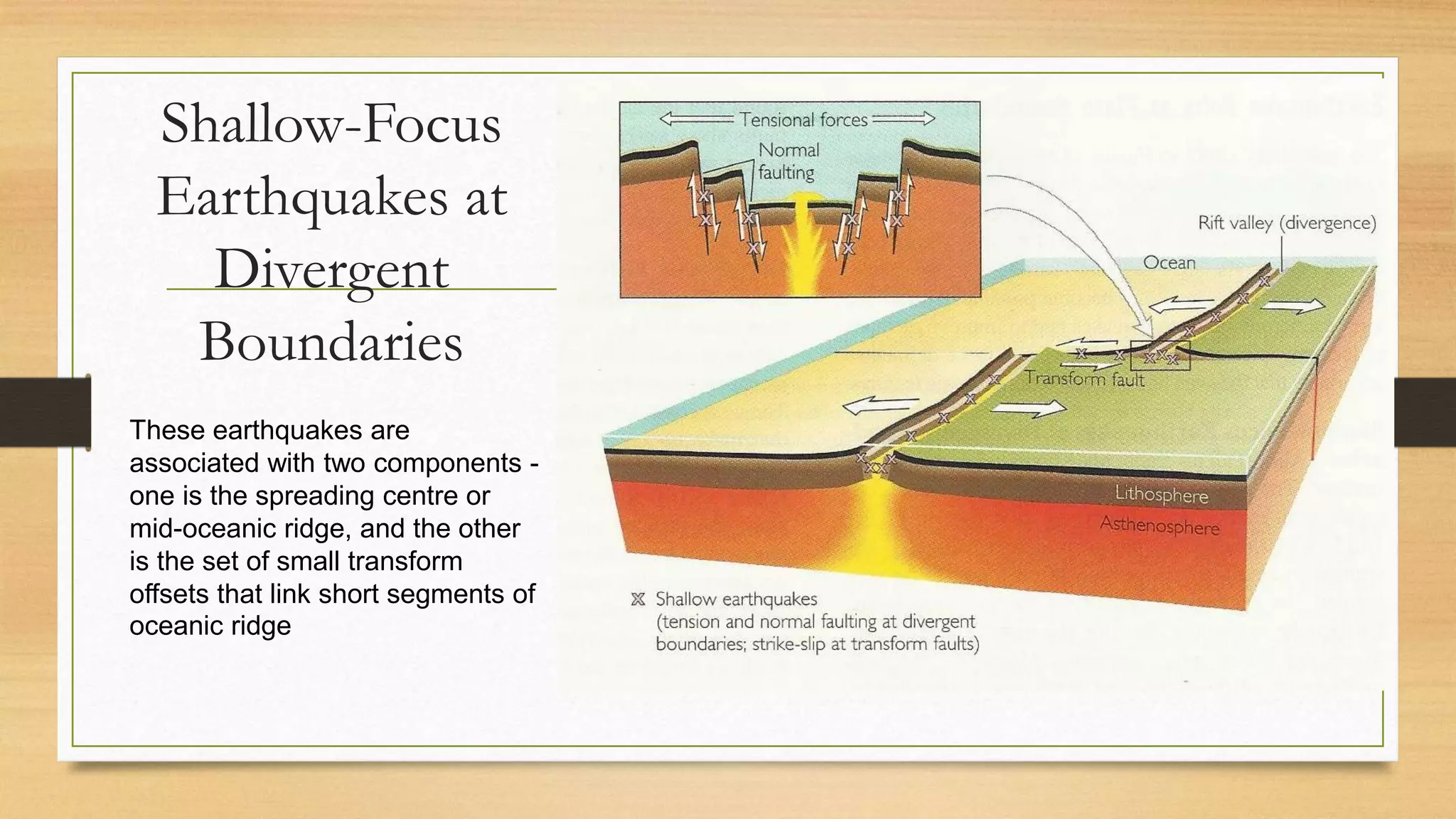
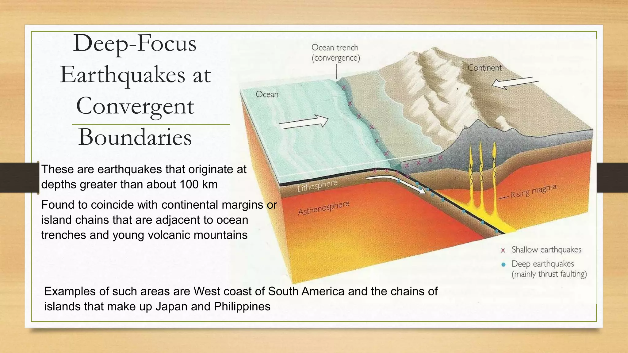
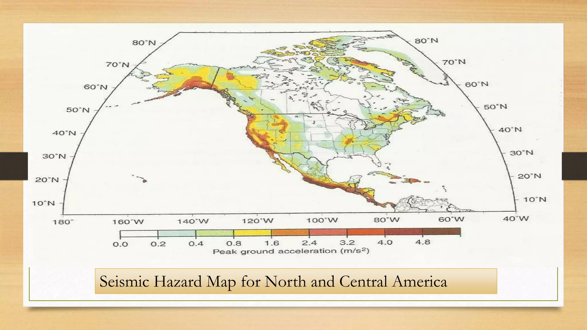
The document discusses earthquakes and plate tectonics, highlighting key seismic zones such as the Ring of Fire and the mechanisms behind earthquakes, including ground vibrations and tsunamis. It also covers the composition of the Earth's interior, including the crust, mantle, and core, as well as early-warning indicators and seismic gaps. Additionally, it outlines earthquake protection programs and the significance of seismic risk maps.
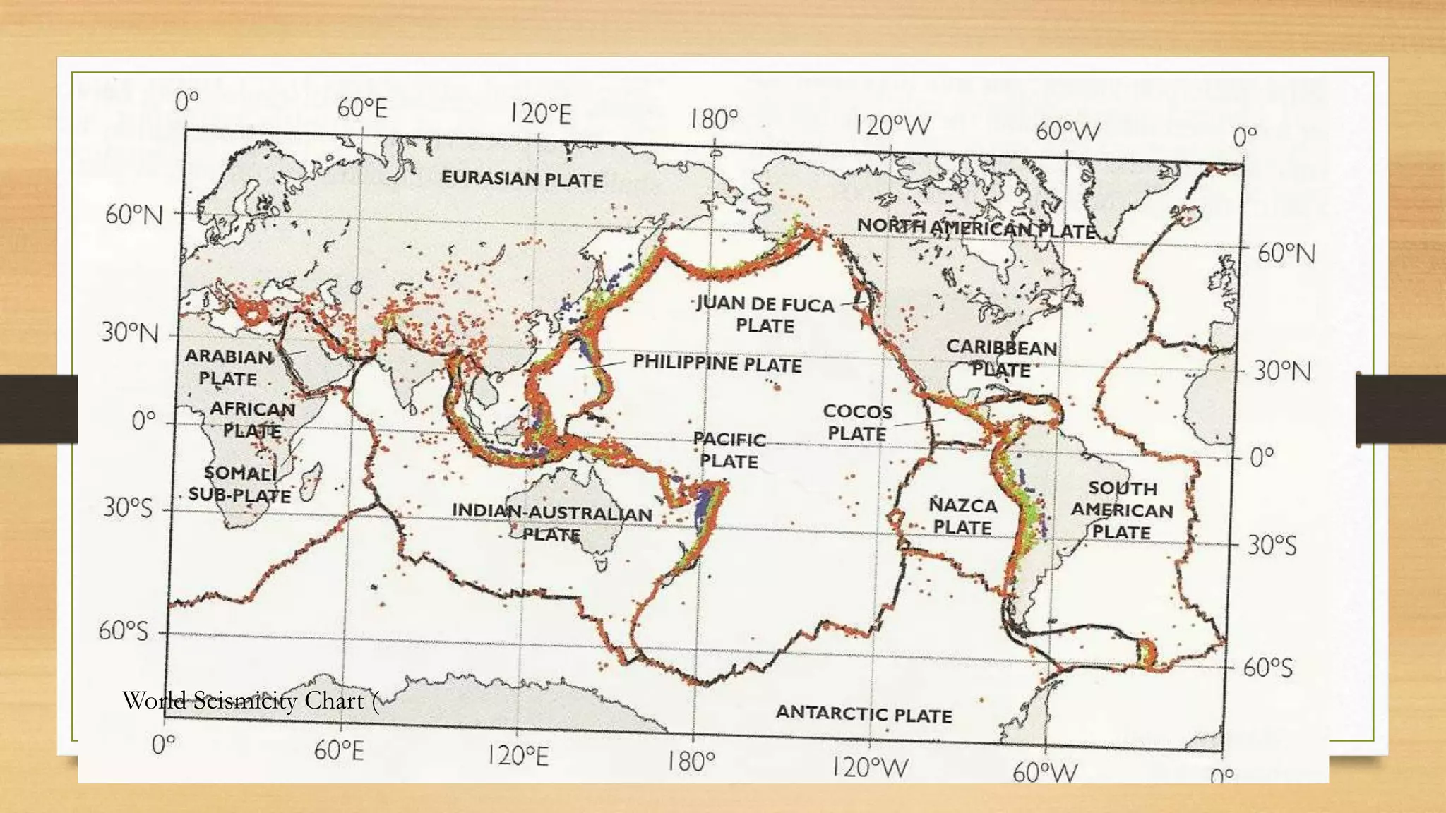


![Seismic gap hypothesis/theory
states that, over long periods of time, the displacement on any
segment must be equal to that experienced by all the other parts of
the fault.[1] Any large and longstanding gap is therefore considered
to be the fault segment most likely to suffer future earthquakes.](https://image.slidesharecdn.com/earthquakebeltsandplateboundaries-160729050022/75/Earthquake-belts-and-Plate-Tectonics-23-2048.jpg)