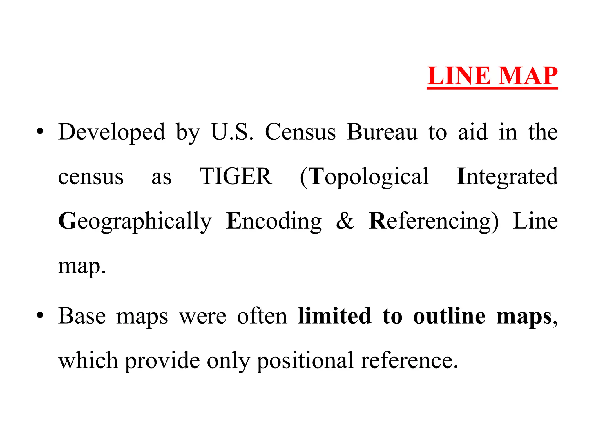
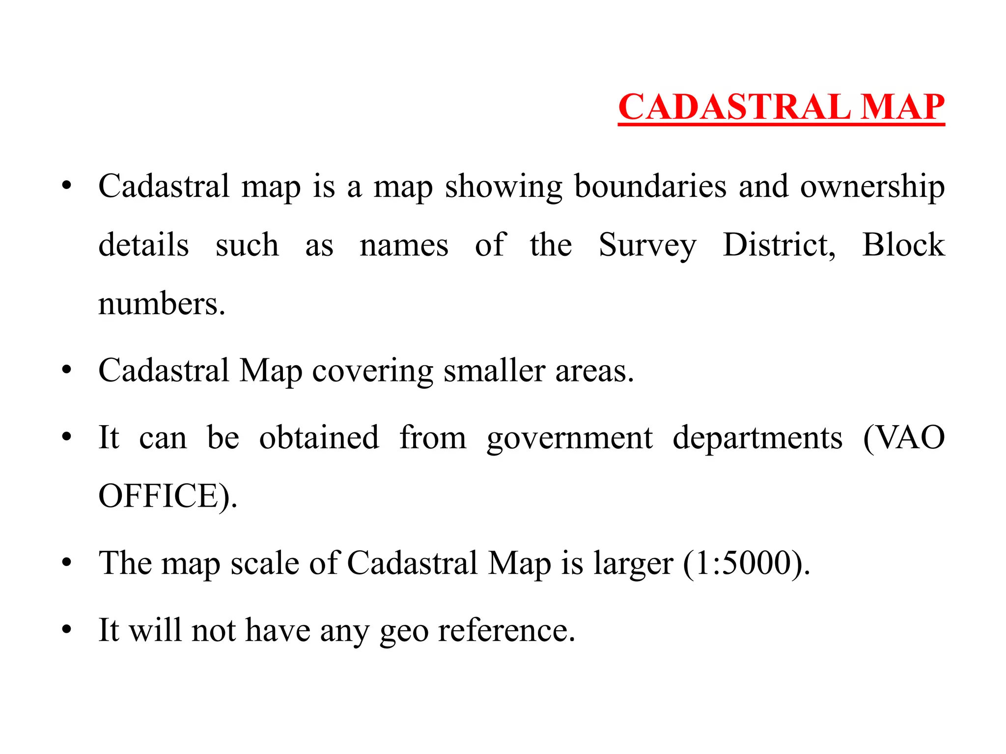
This document discusses the use of base maps in soil surveys. It defines a base map as a map that provides fundamental geographic information that can be overlaid with additional data. The document then describes several common types of base maps used in soil surveys, including line maps, cadastral maps, planimetric maps, and topographic maps. Each base map type provides different levels of geographic detail and features.