Download to read offline
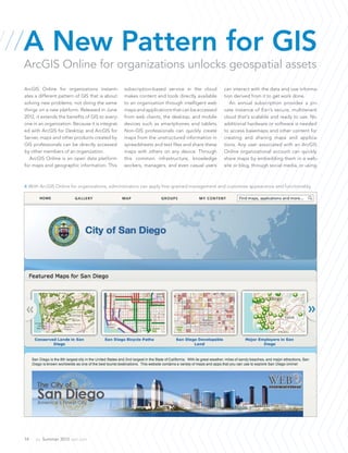

ArcGIS Online for Organizations offers a subscription-based cloud service that enhances access to geospatial data for all users within an organization, allowing quick map creation and collaboration without the need for extensive GIS expertise. The platform integrates with ArcGIS for Desktop and Server, providing intelligent maps and applications that can be accessed via web and mobile devices. With flexible subscription plans, organizations retain rights to their published content and can manage user roles for better organizational workflow.


