Downloaded 327 times

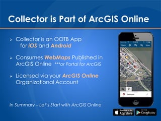

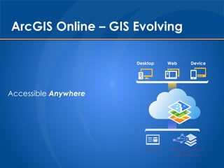


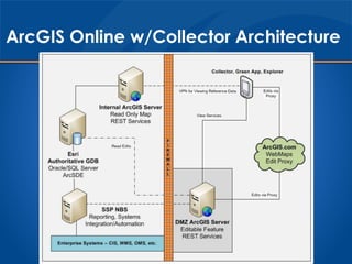
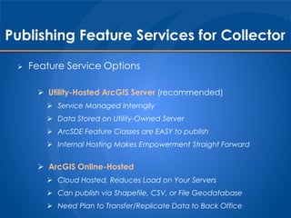


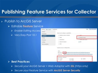


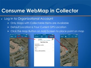

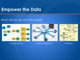


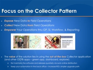


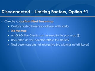


This document discusses using Collector for ArcGIS to enable field data collection and empower utility operations. Collector allows users to collect data using mobile devices and publish it to ArcGIS Online or Portal for use across the organization. While Collector currently only supports connected access, Esri is working on offline support which is not yet suitable for most utility workflows due to limitations like an inability to use dynamic map services. The document provides recommendations for implementing Collector, including publishing editable feature services and creating web maps for use in the app.