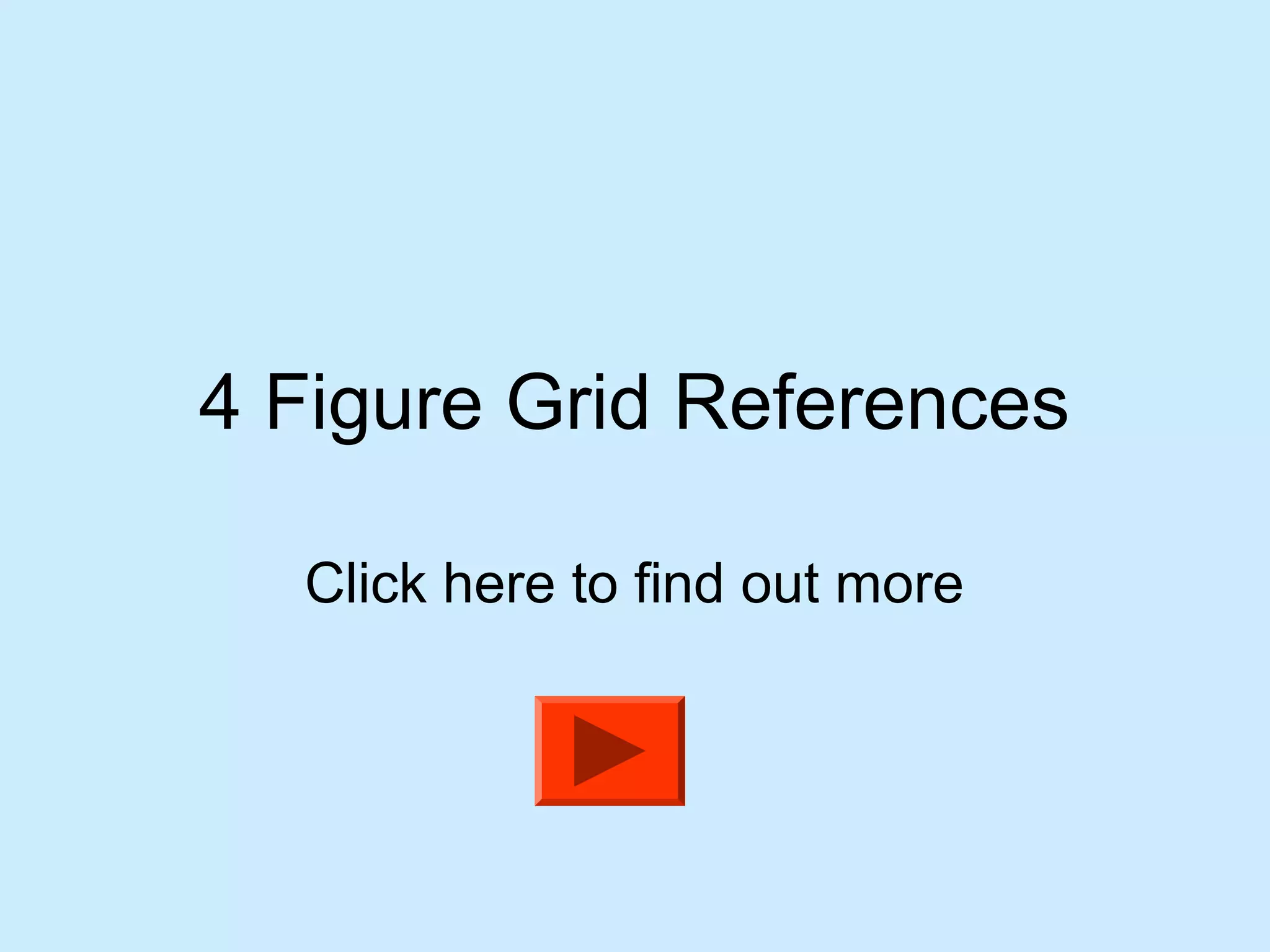
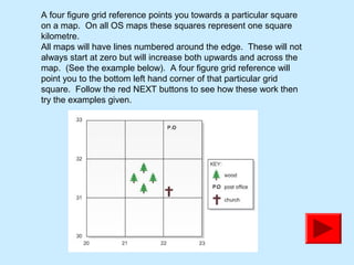
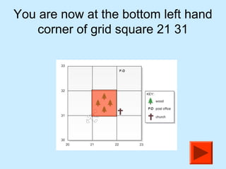
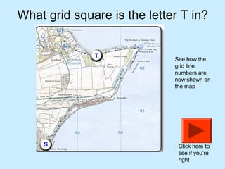
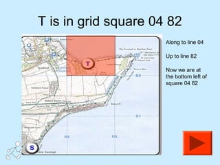
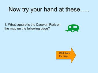
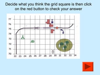
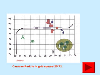
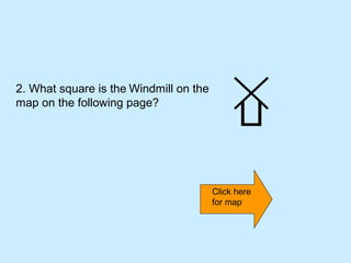
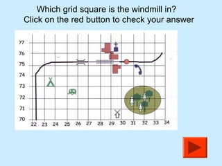
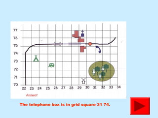
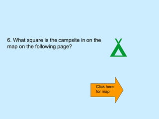
The document explains how to interpret four-figure grid references on maps, indicating that each reference points to a one-square-kilometre area. It provides instructions for locating specific grid squares on a map through examples, such as identifying locations like caravan parks and windmills. The reader is encouraged to practice and verify their answers through buttons provided in the interactive elements.