Download to read offline
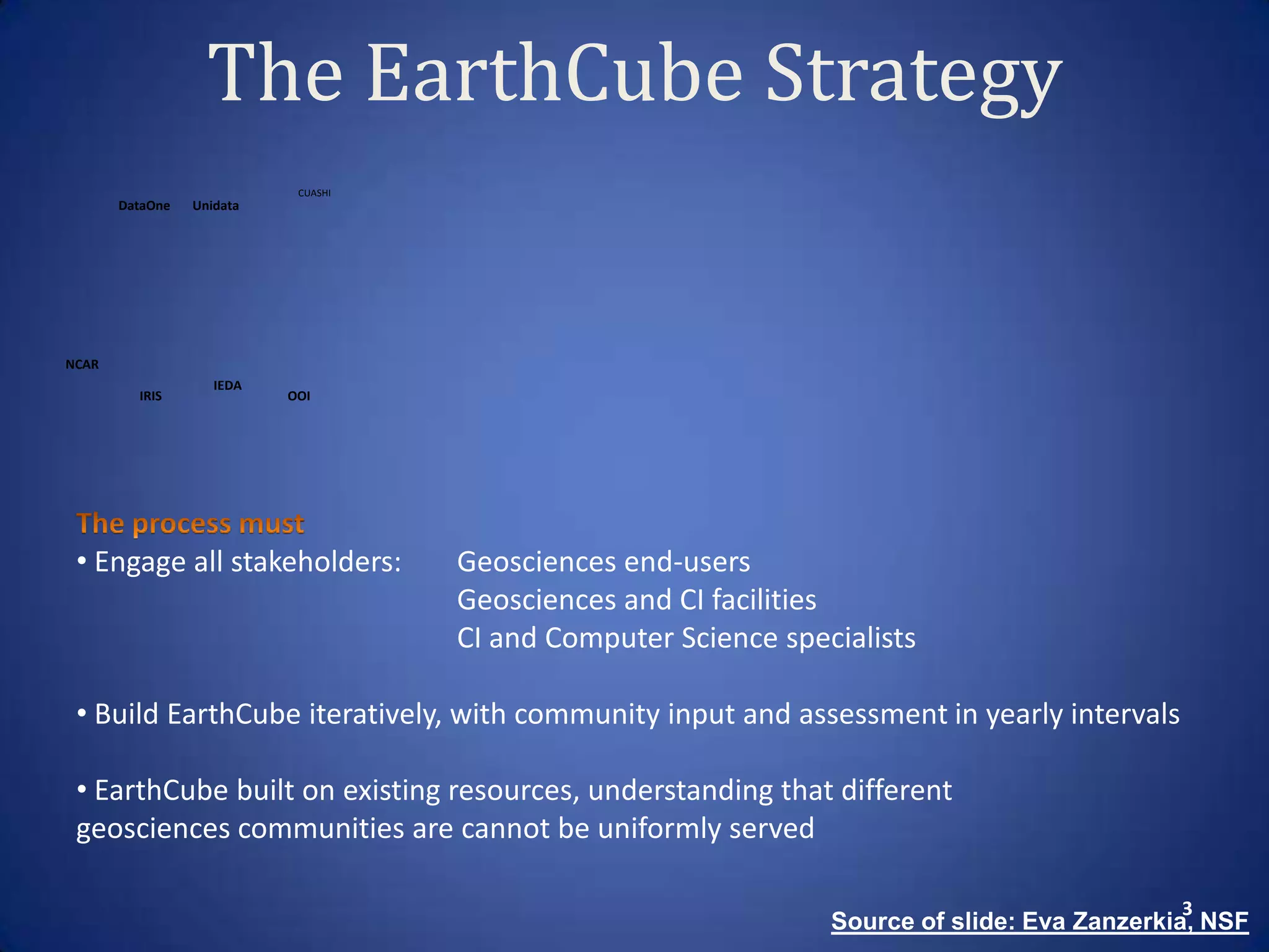
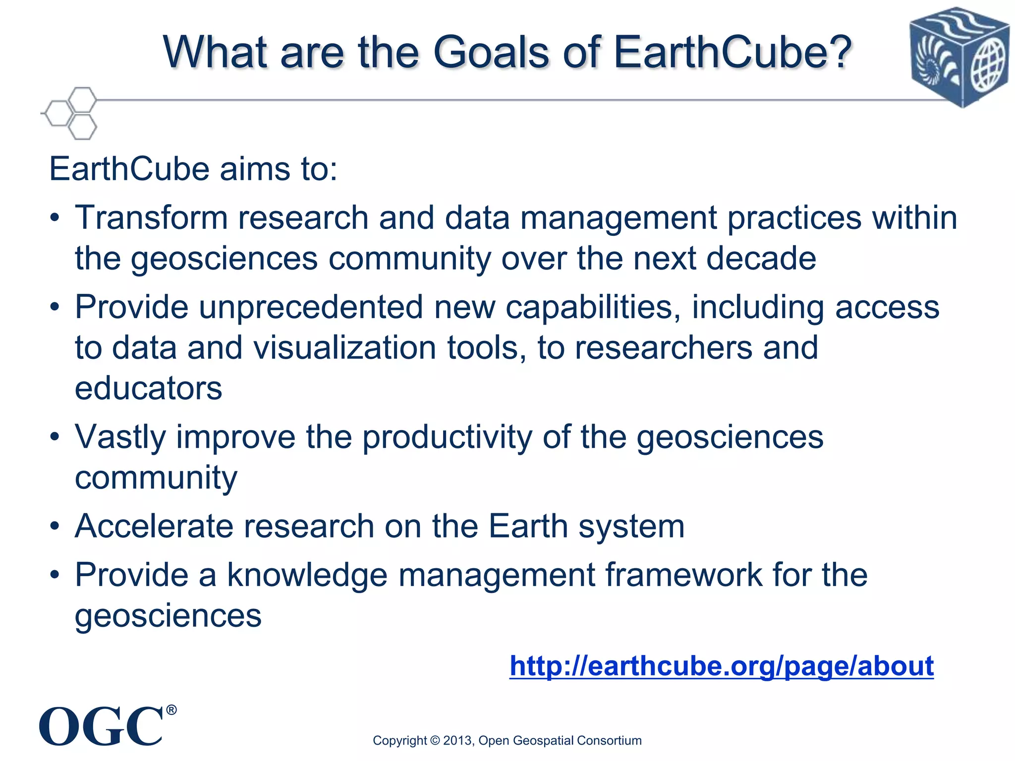
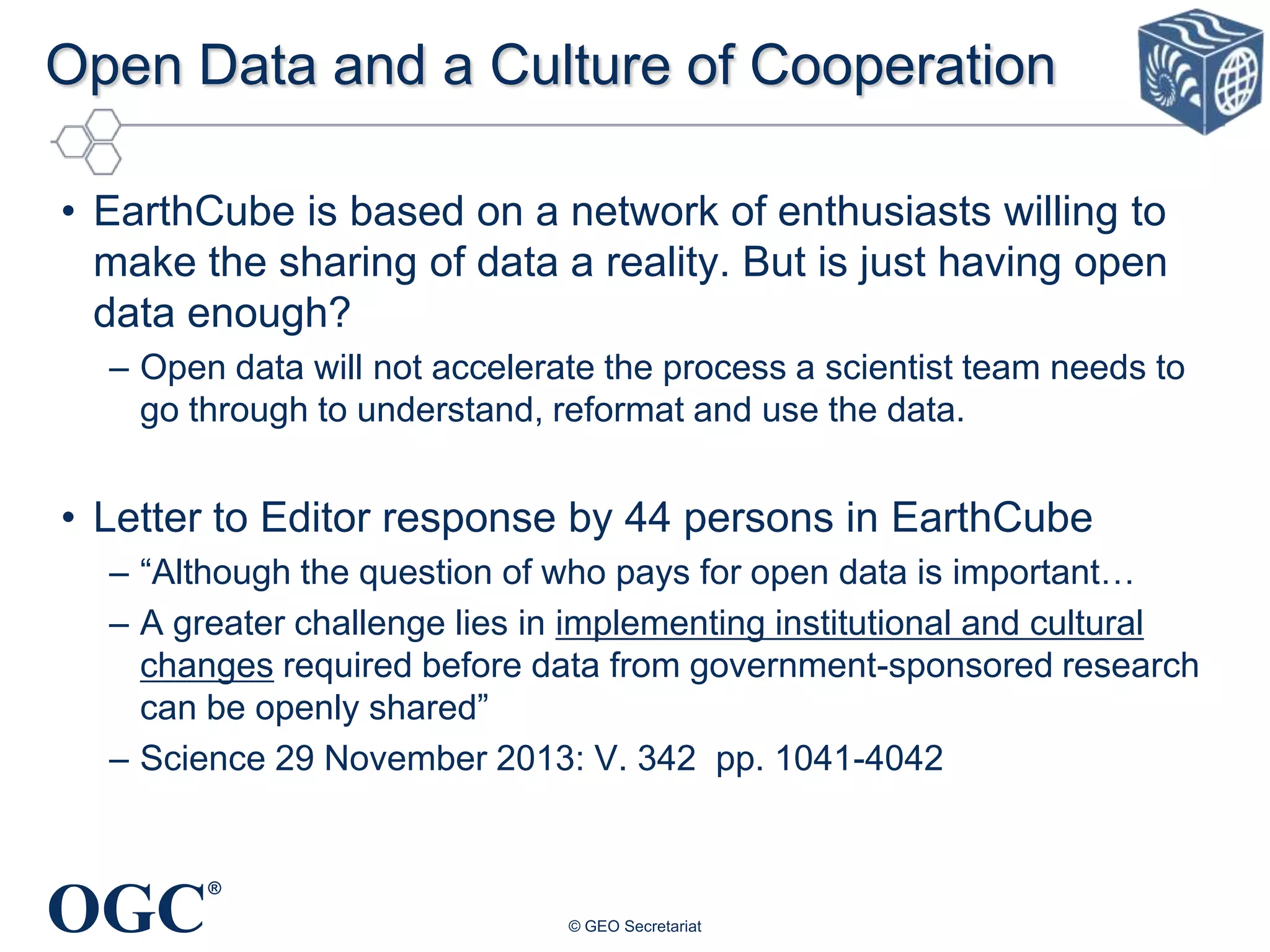
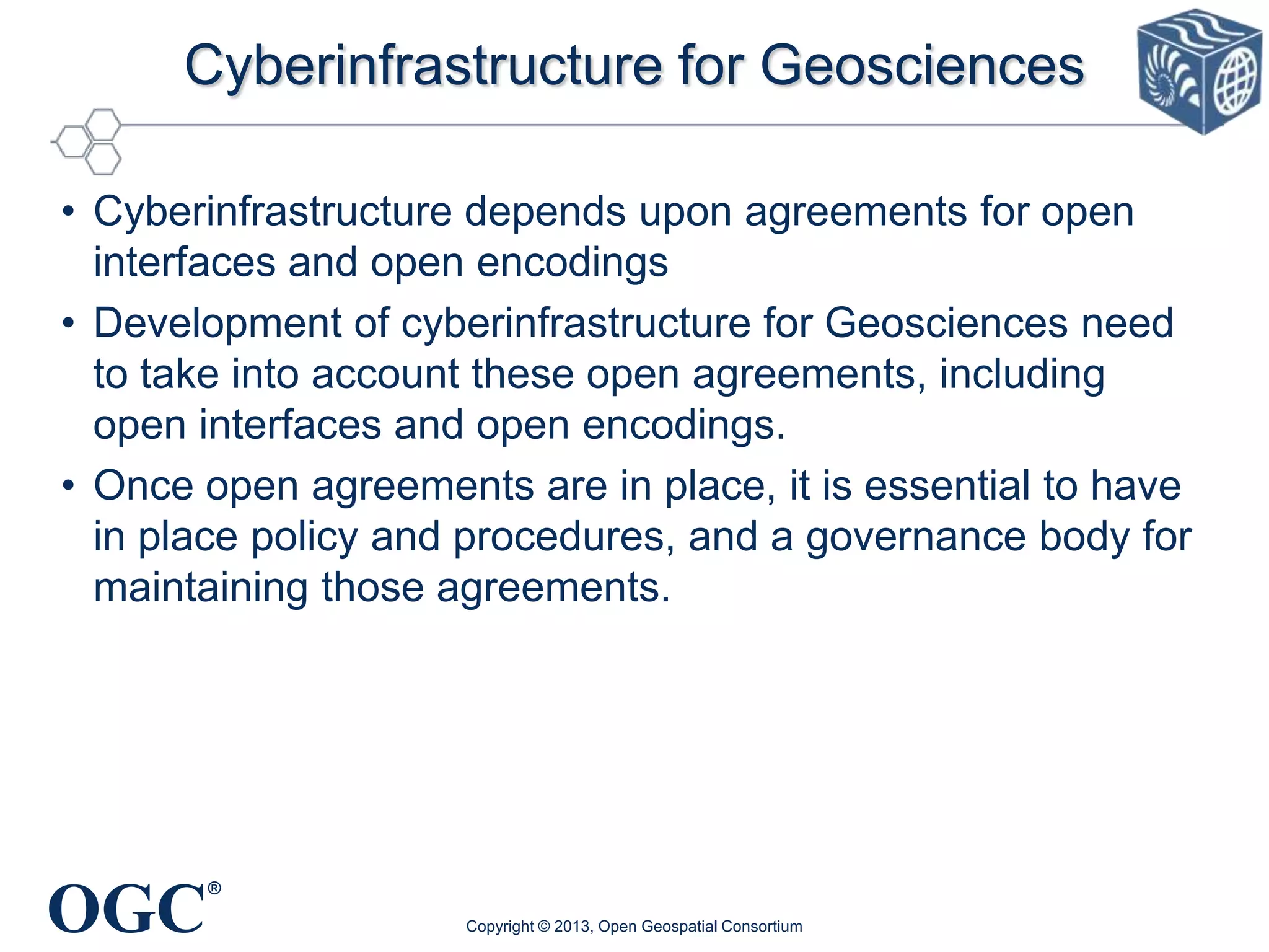
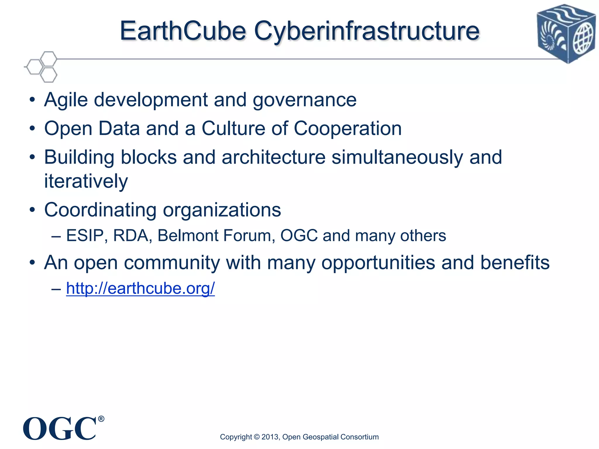

This document summarizes key points from a presentation on the role of open standards in EarthCube. It discusses that EarthCube aims to transform geoscience research and data management over the next decade. It should utilize existing open agreements and standards, including open interfaces and encodings developed by organizations like OGC. EarthCube is taking an agile approach to development, engaging stakeholders and building iteratively. Existing projects and standards from other initiatives like GEOSS provide relevant examples for EarthCube to consider.


![Coded Agents – with UiPath SDK + LangGraph [Virtual Hands-on Workshop]](https://cdn.slidesharecdn.com/ss_thumbnails/codedagentsdeck-251215155422-5497c599-thumbnail.jpg?width=640&height=640&fit=bounds)


![Vibe Coding vs. Spec-Driven Development [Free Meetup]](https://cdn.slidesharecdn.com/ss_thumbnails/vibecodingvsspecdrivendevelopment-251209105622-43f455e7-thumbnail.jpg?width=640&height=640&fit=bounds)


