Download to read offline
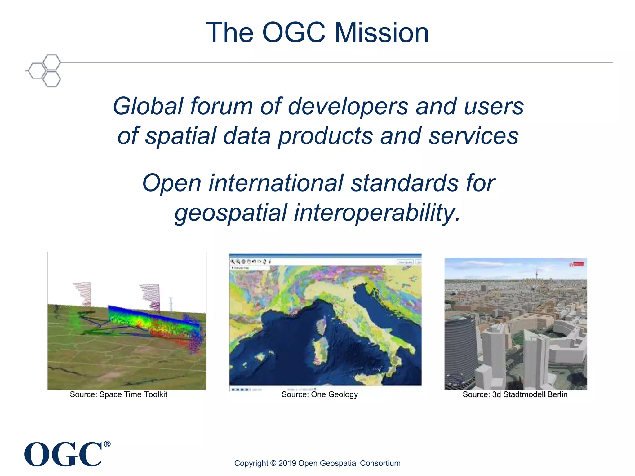
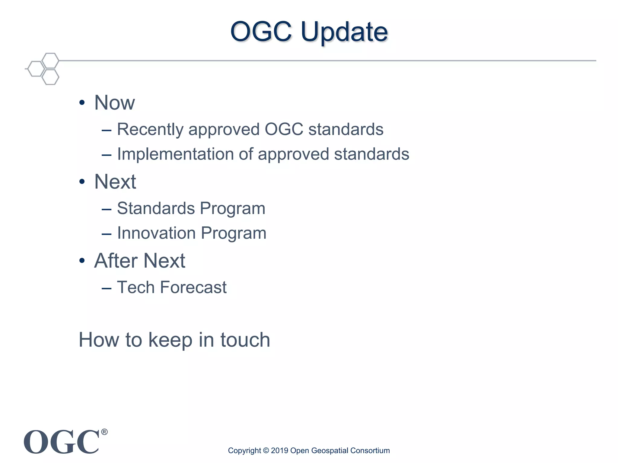
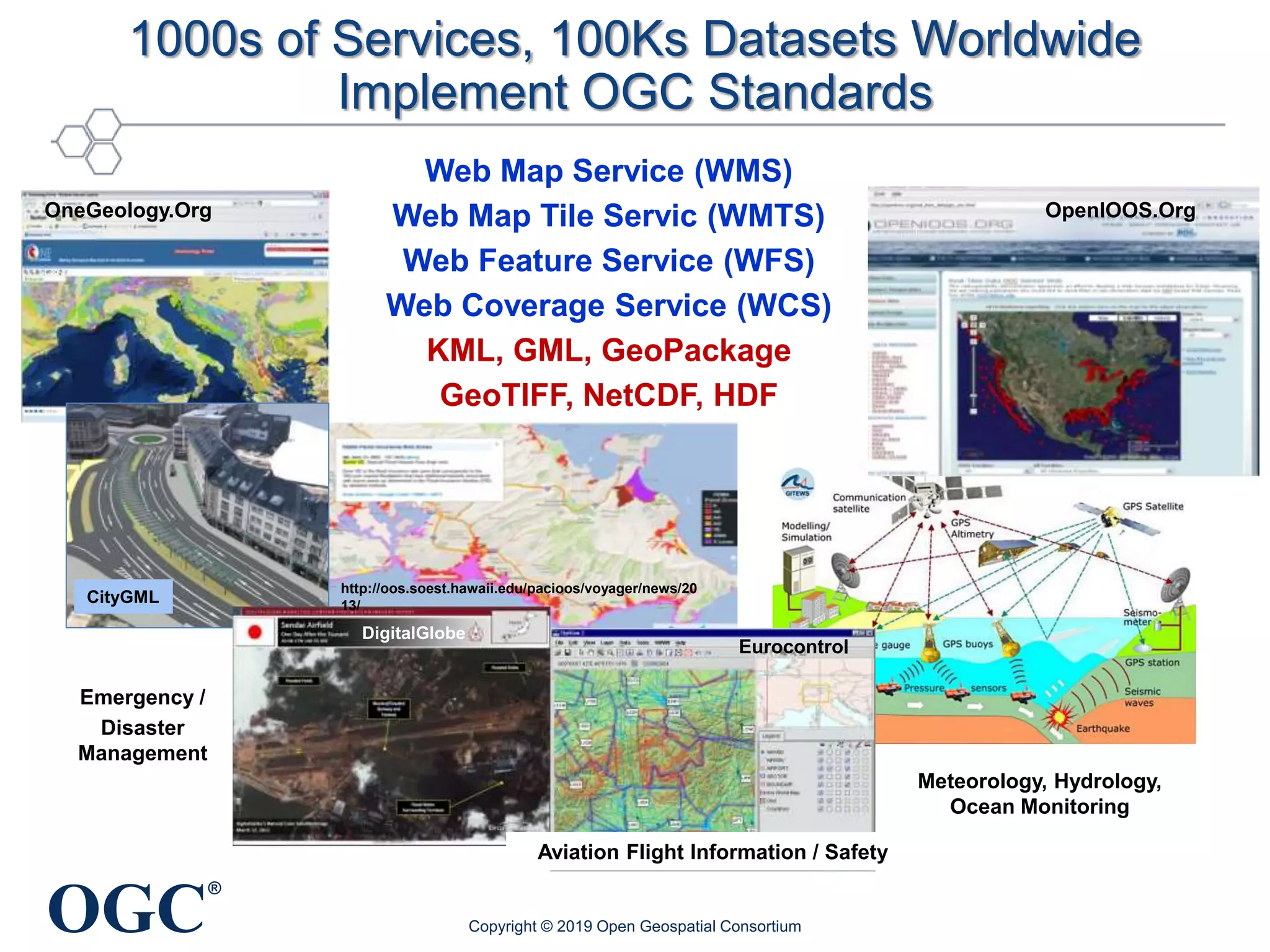
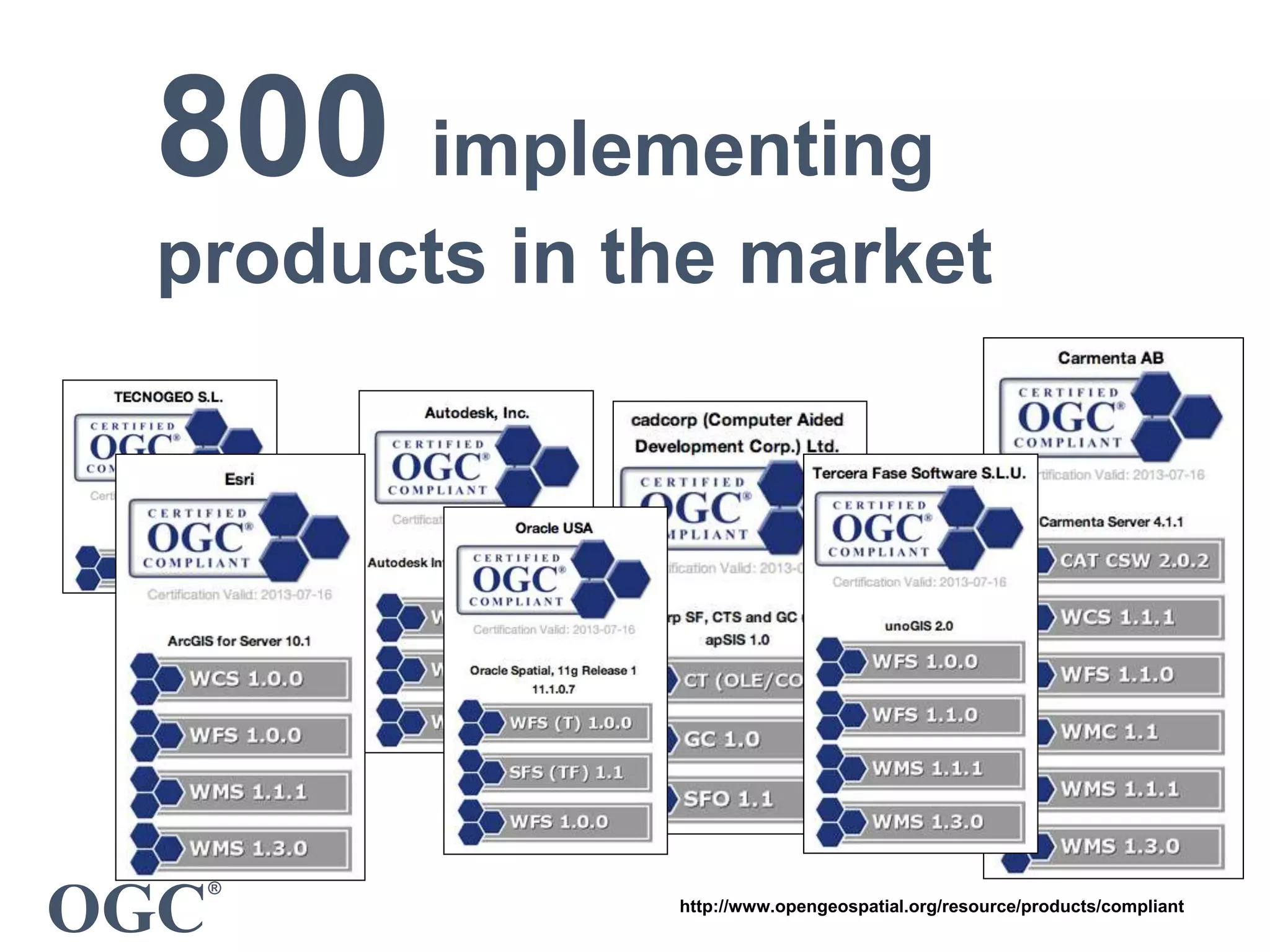
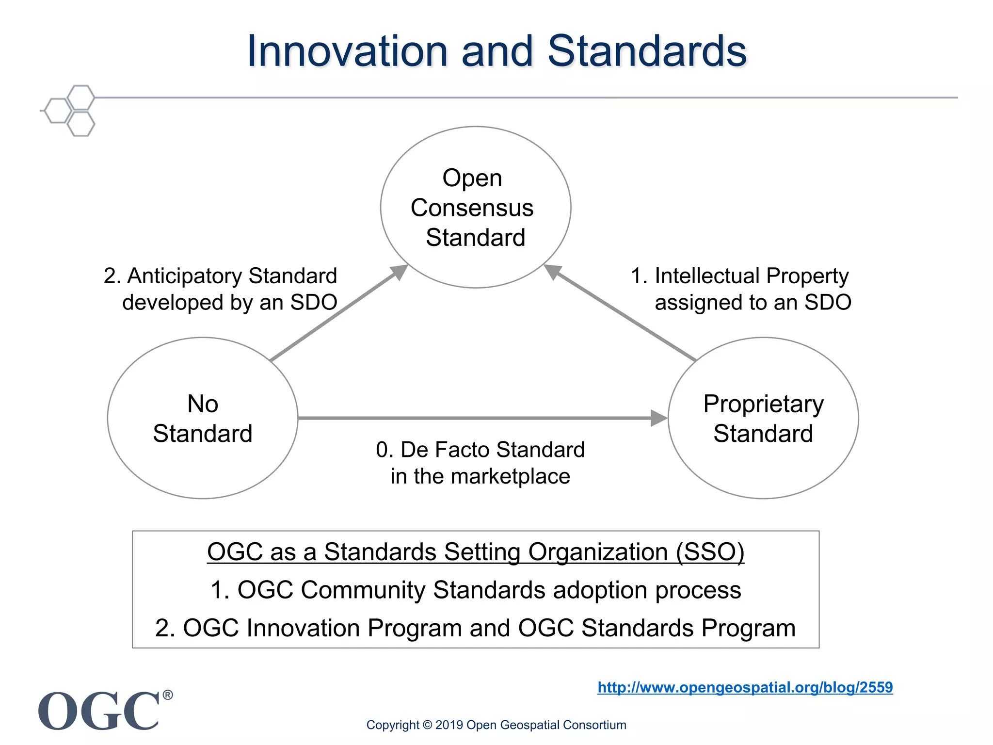
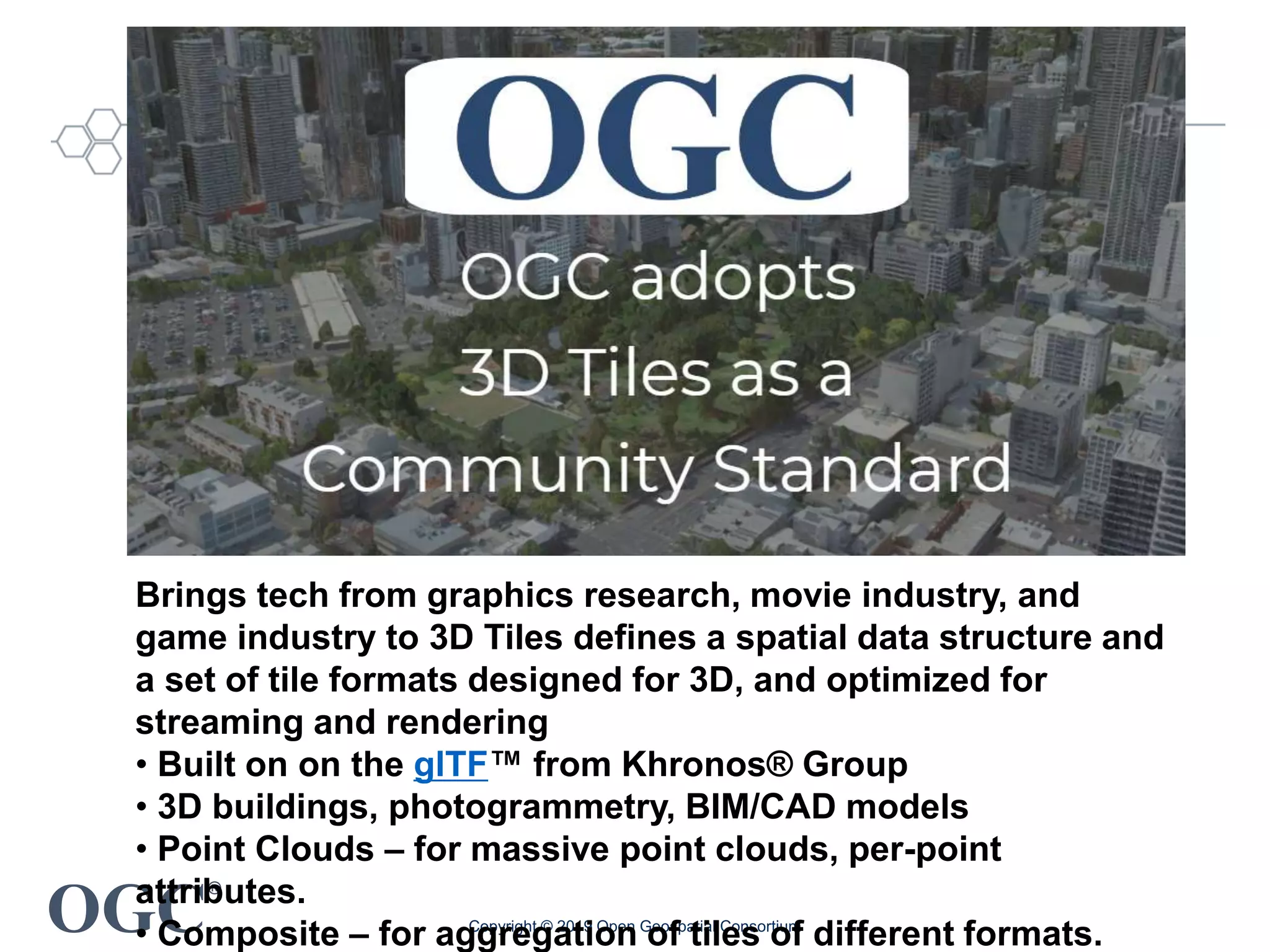
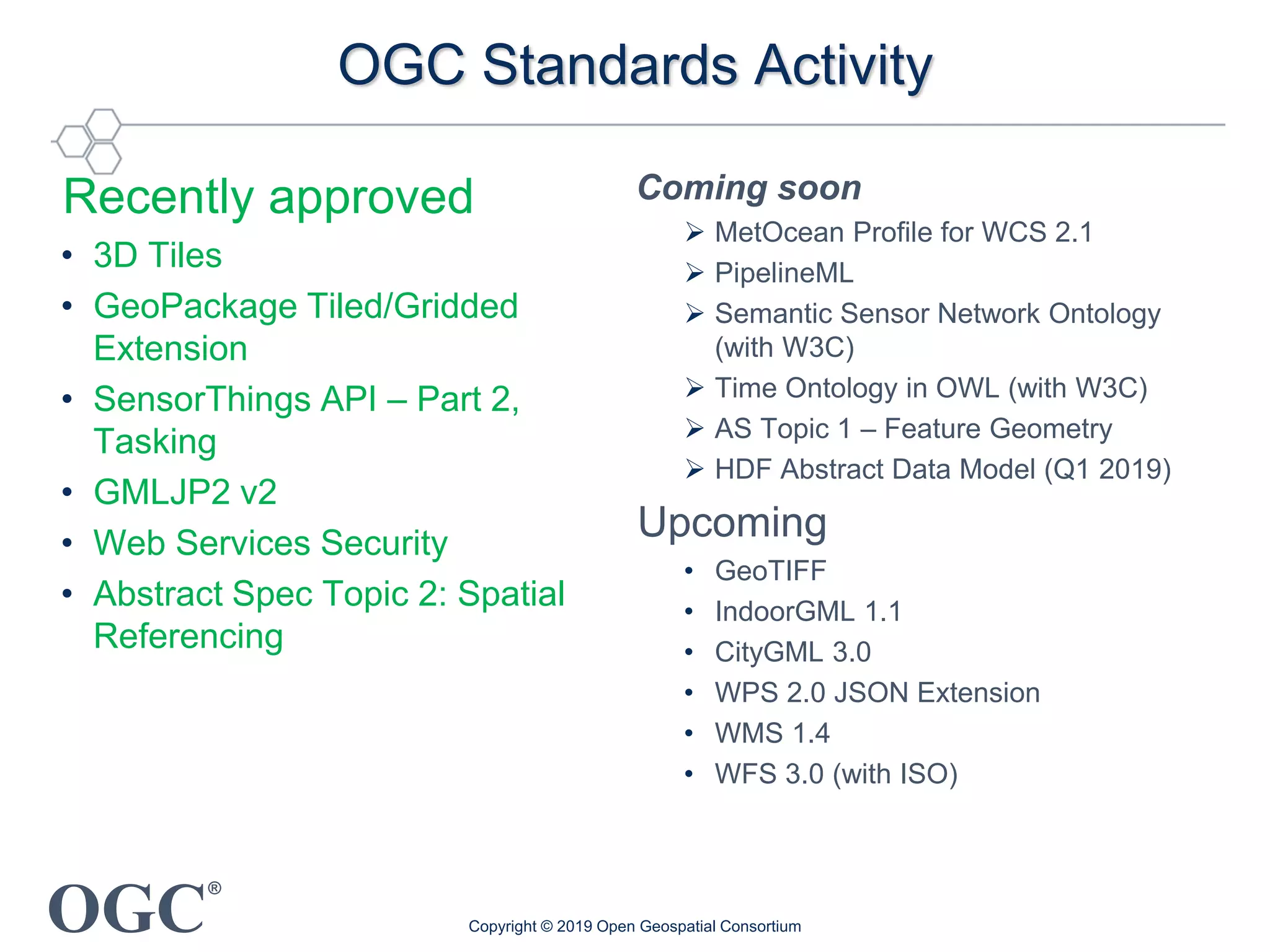
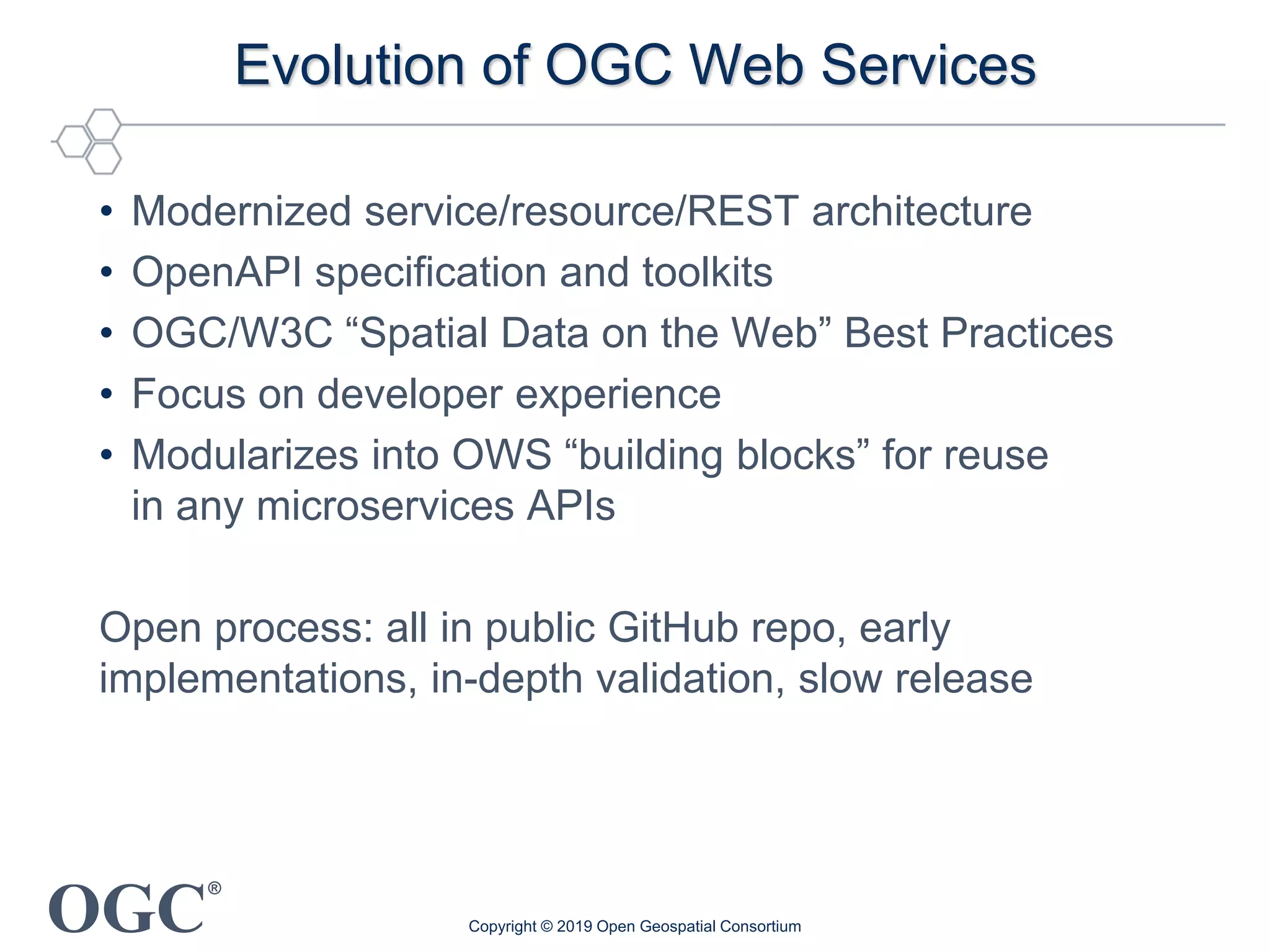
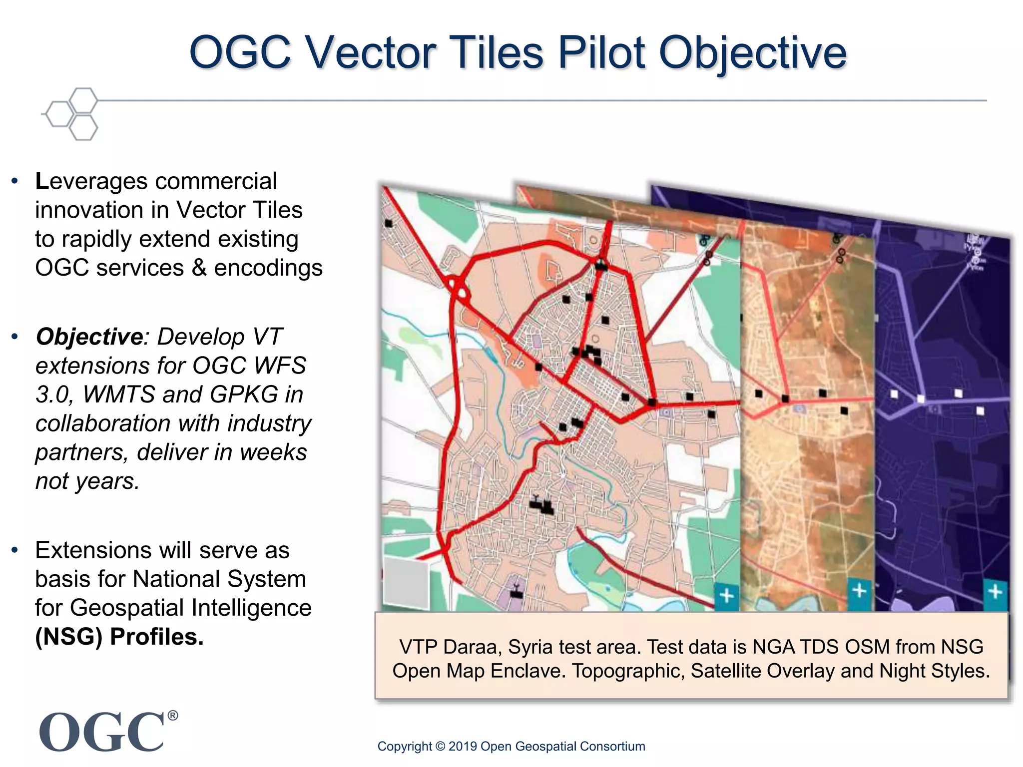
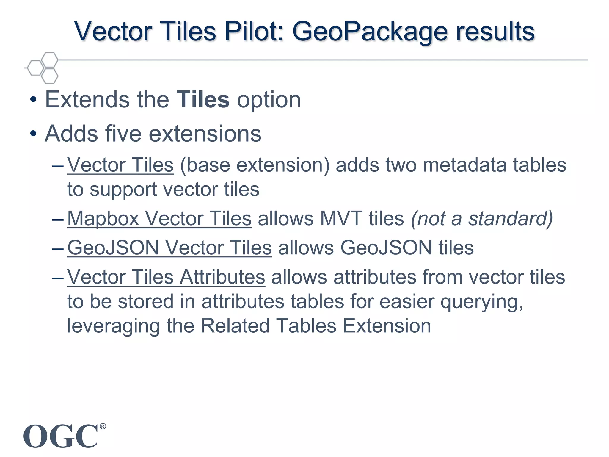

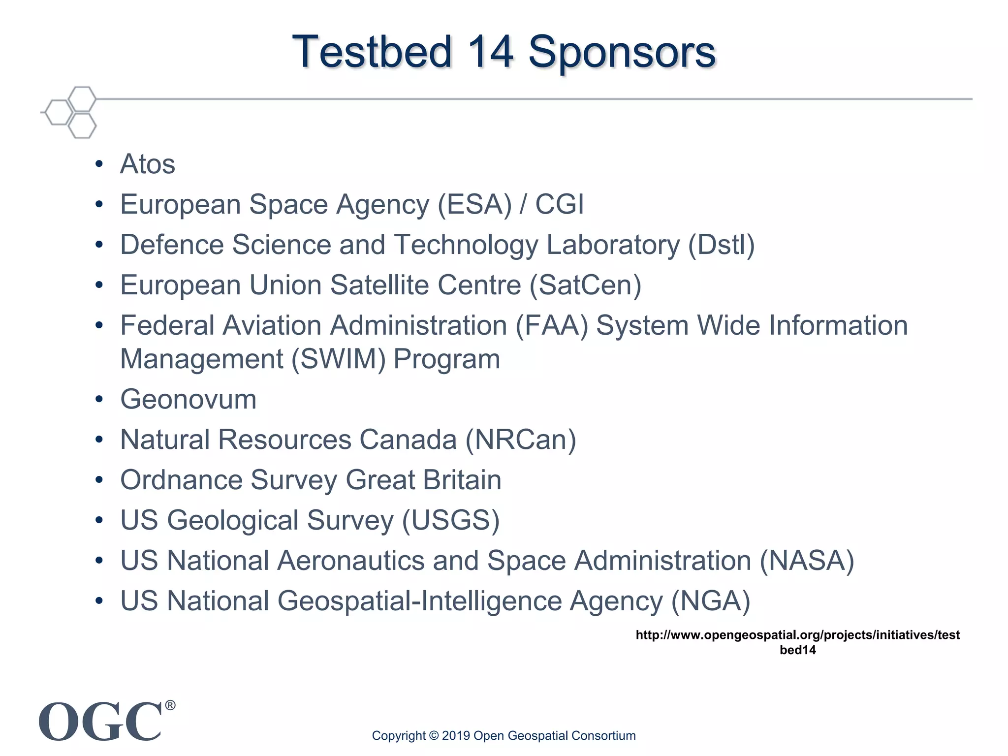
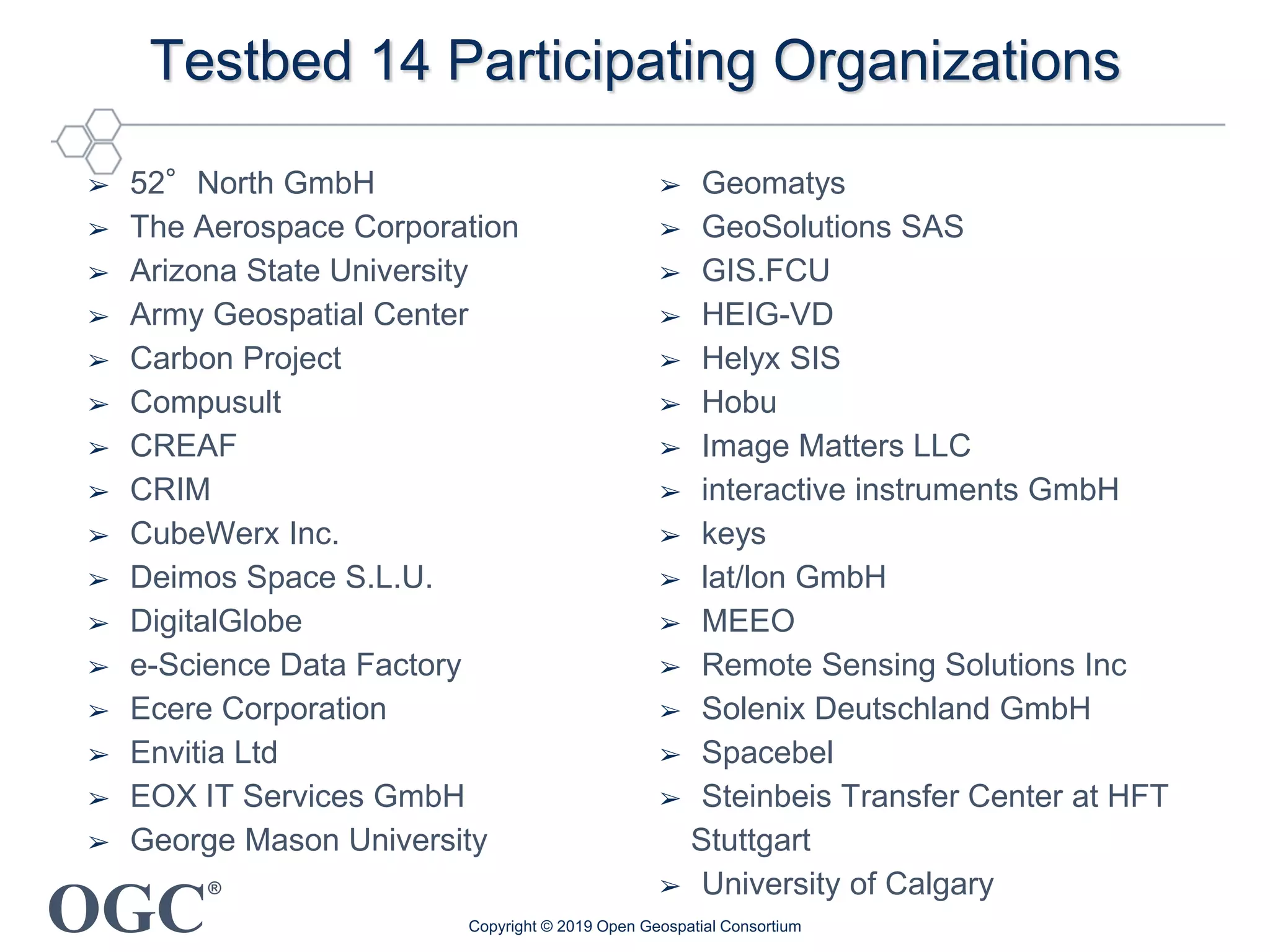
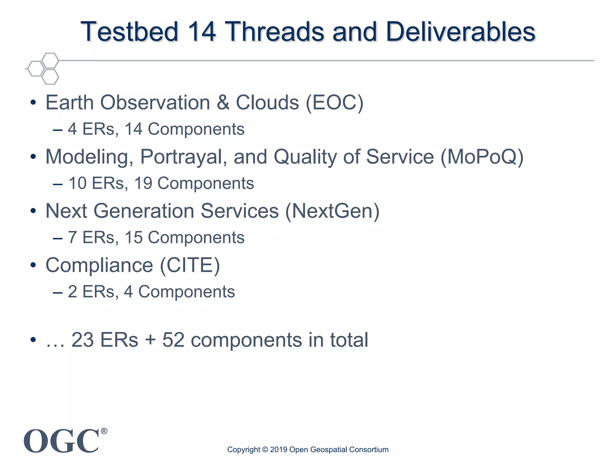


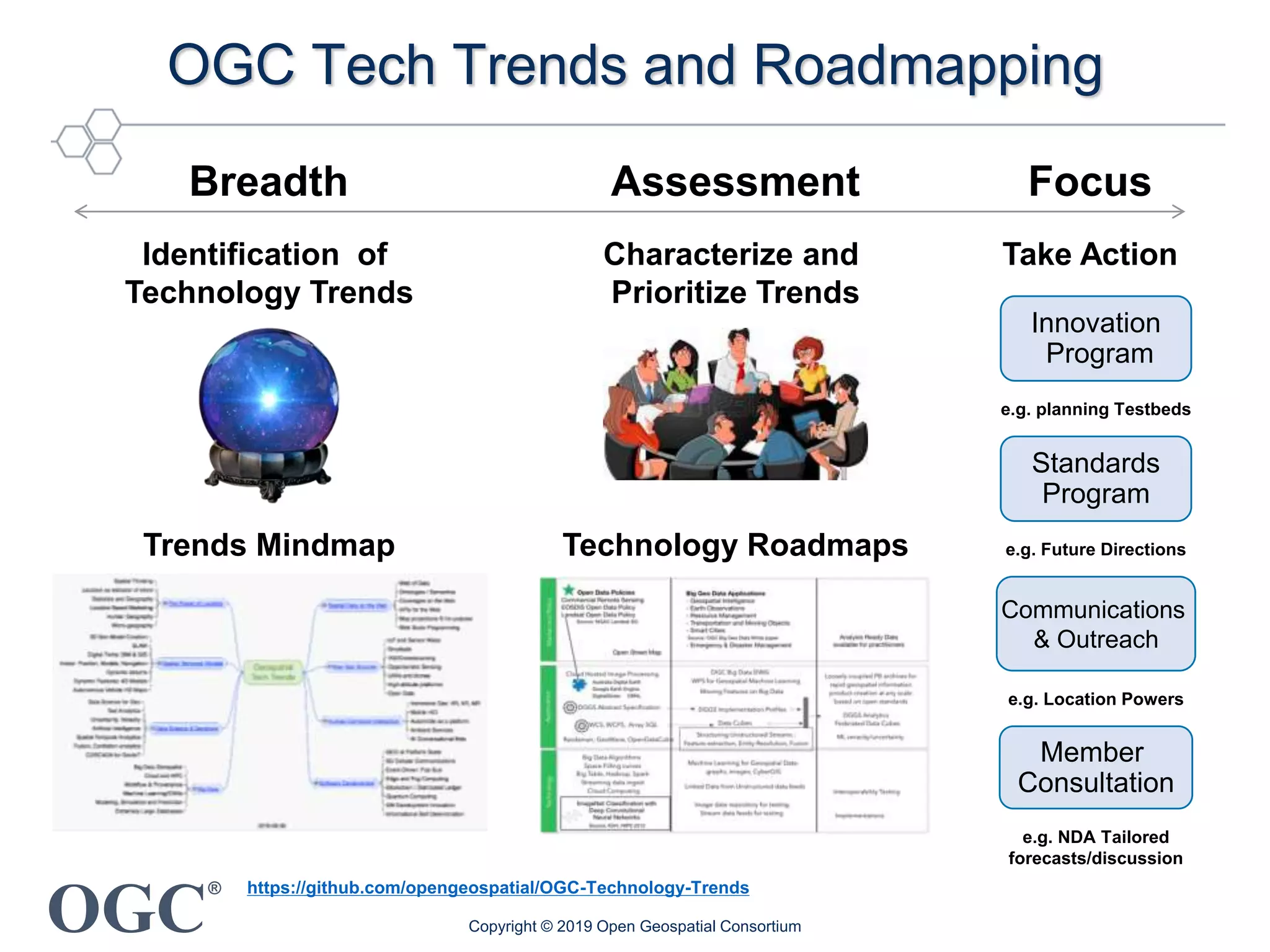
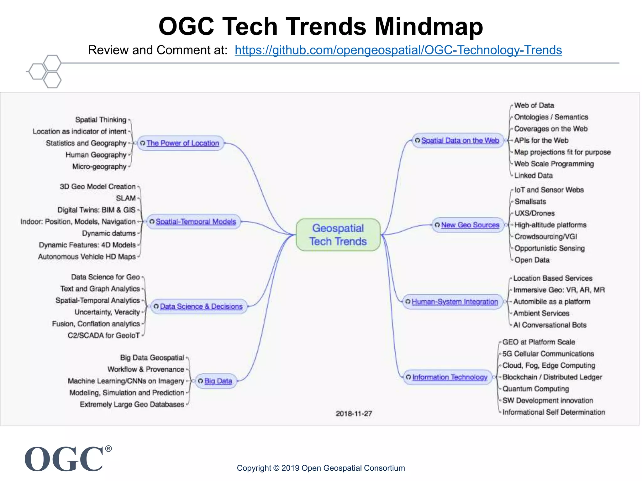
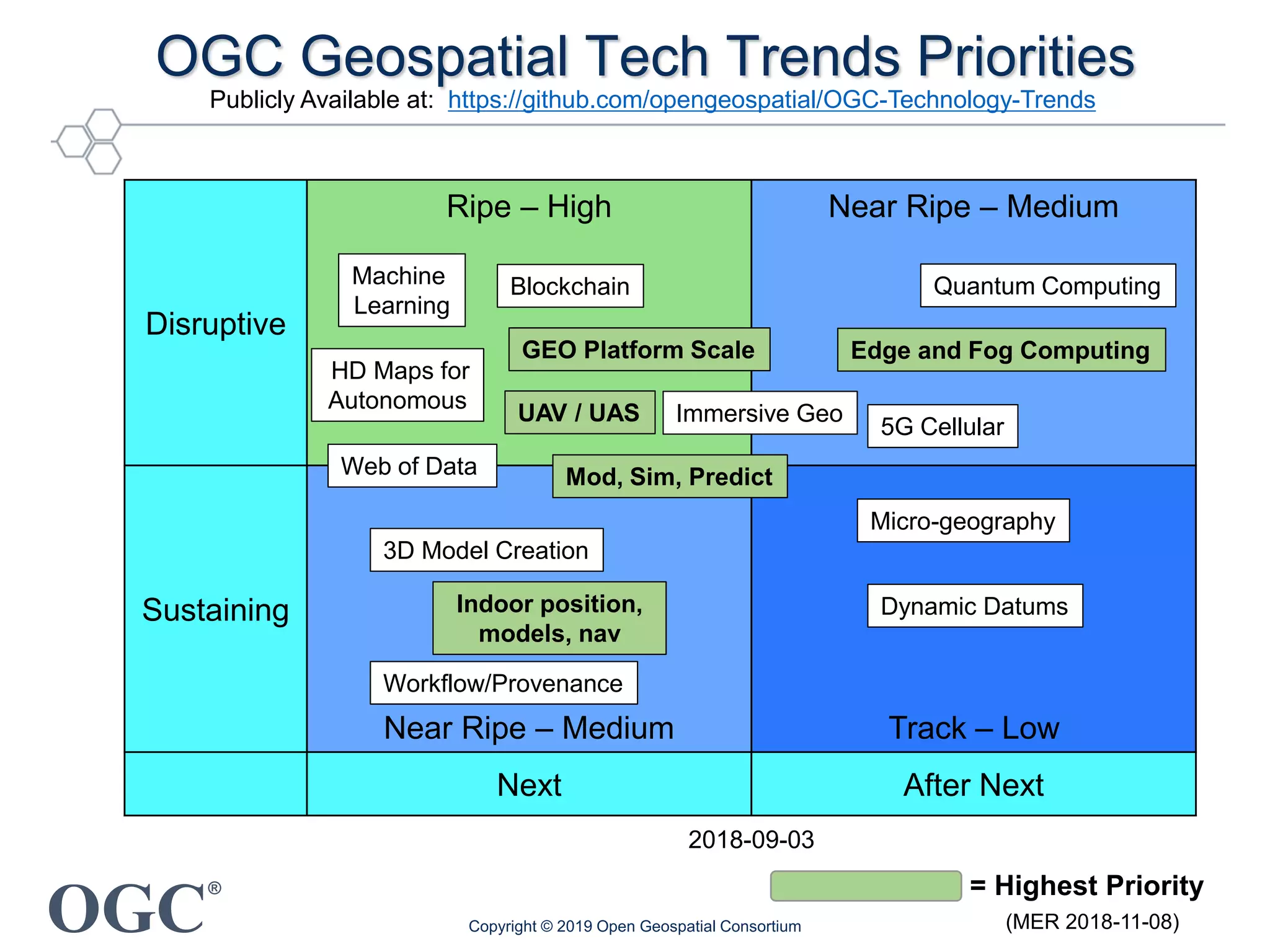


The document outlines recent developments and activities of the Open Geospatial Consortium (OGC) as of February 2019, focusing on the approval and implementation of OGC standards across various geospatial technologies. It highlights ongoing initiatives in innovation, including the introduction of 3D tiles and enhancements to web services, as well as collaborative testbeds involving numerous organizations to advance geospatial data utilization. Furthermore, the document discusses the importance of standards in fostering interoperability and the strategic focus areas for future technology trends.


