Download as PDF, PPTX
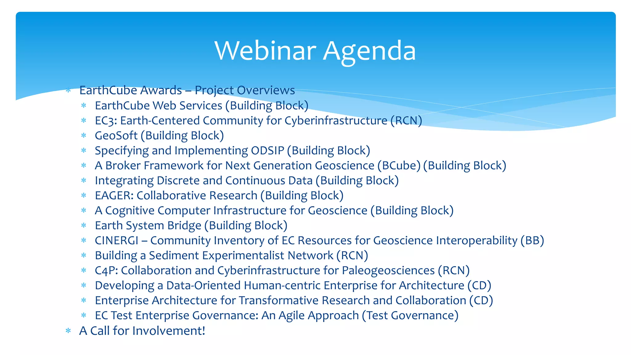
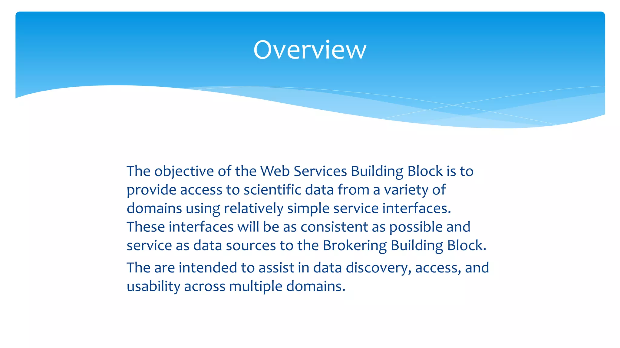
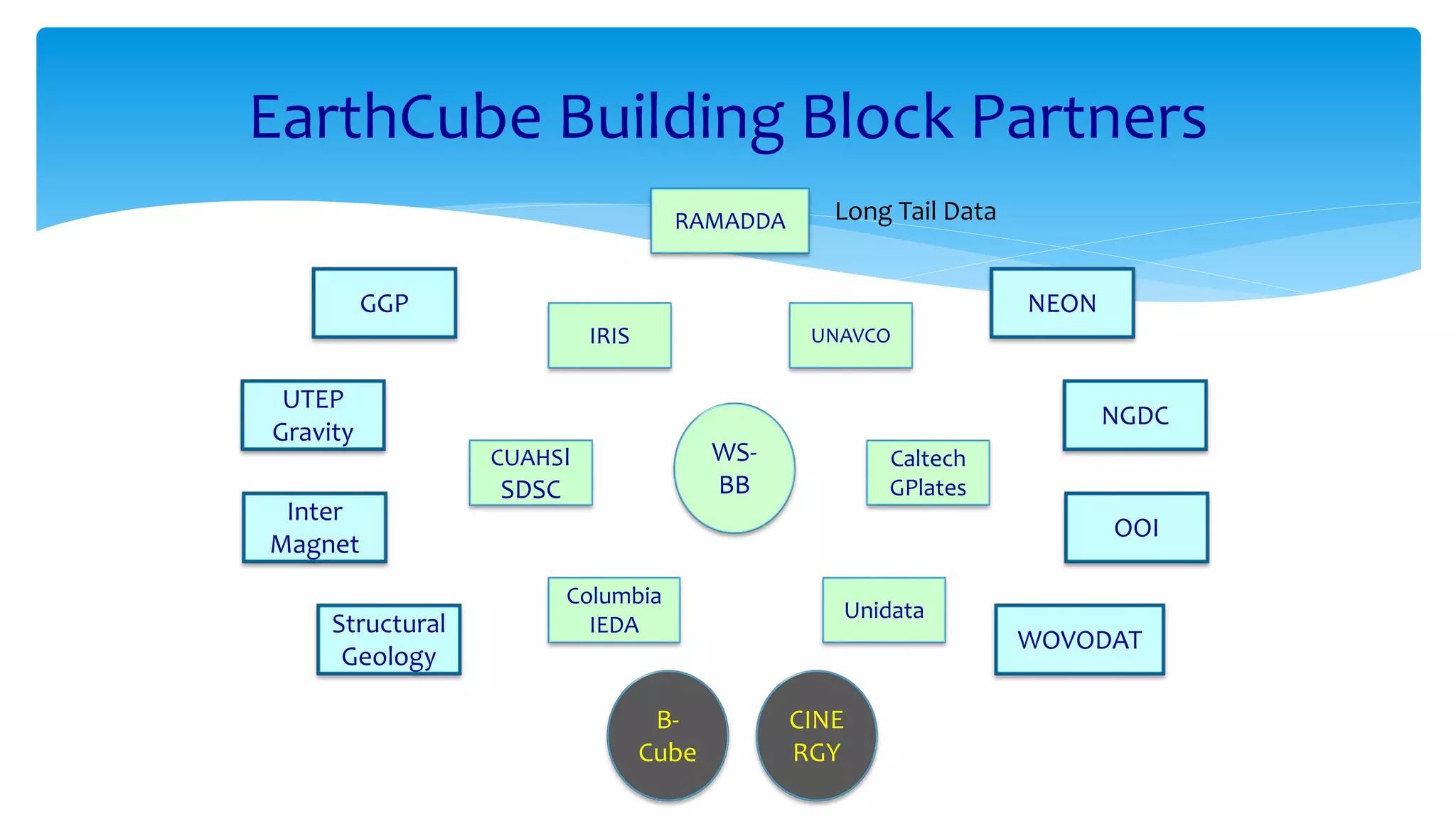
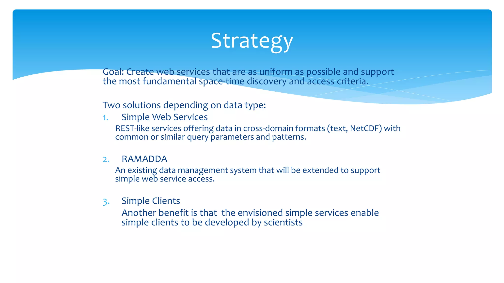

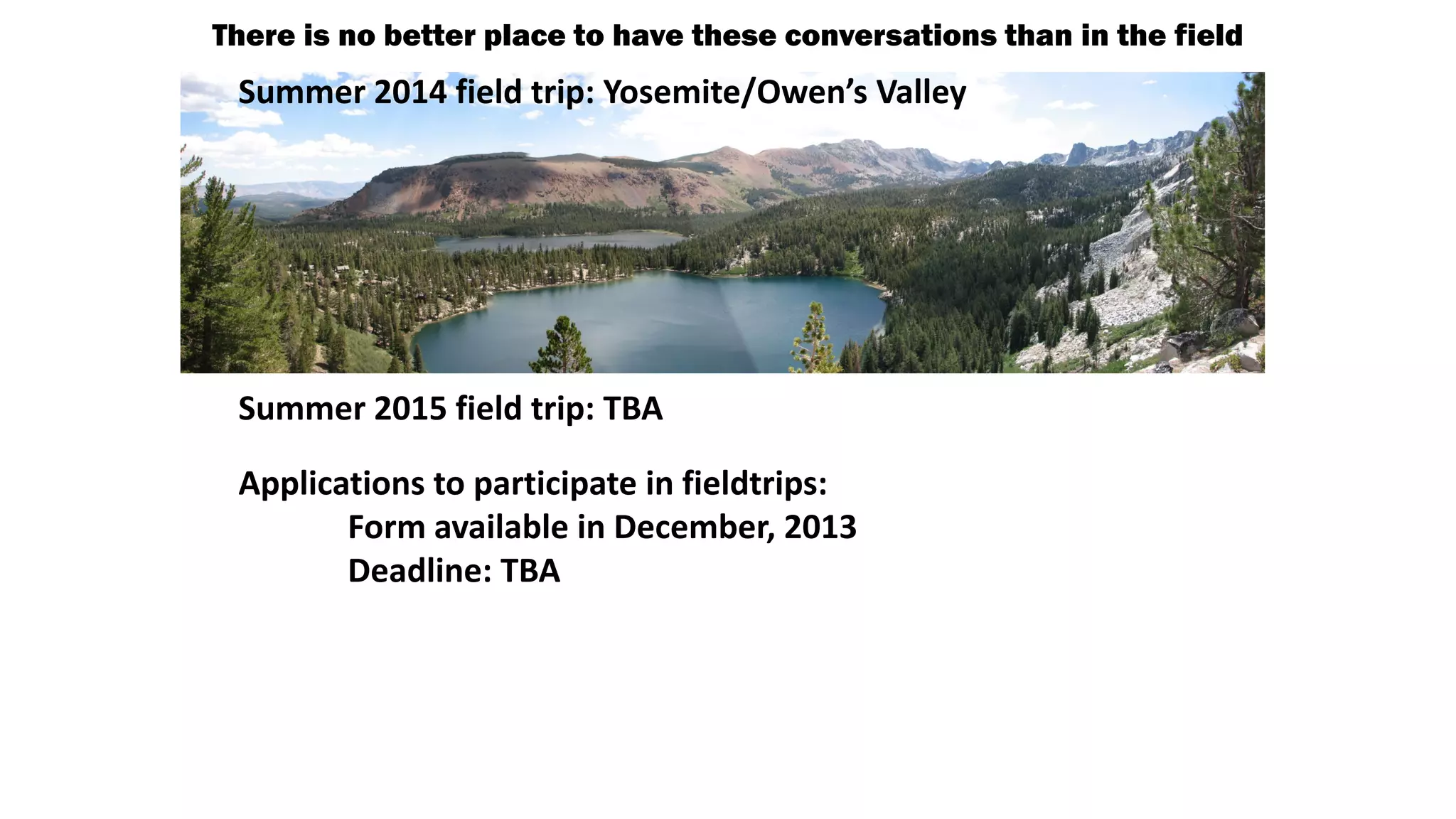
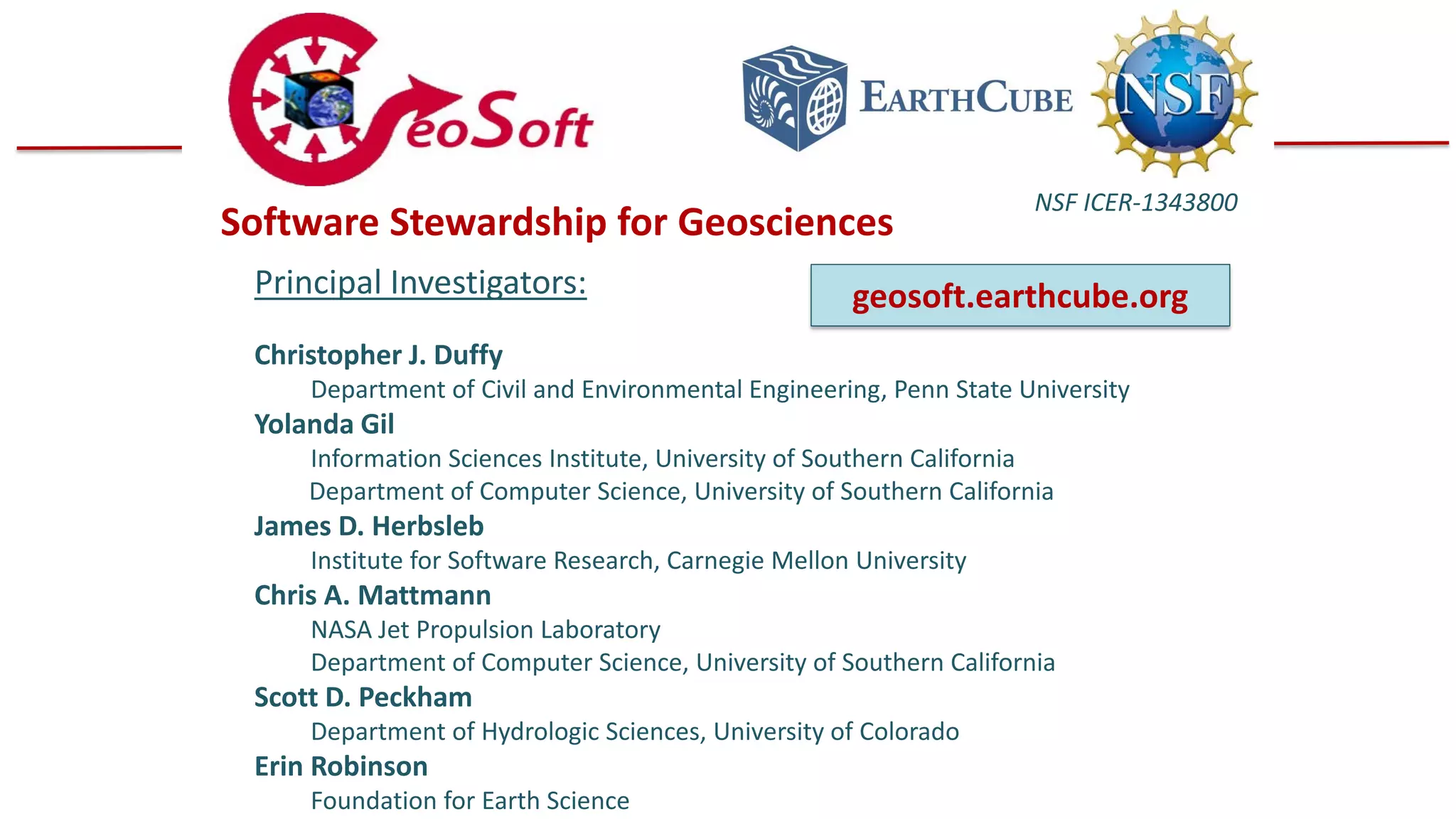

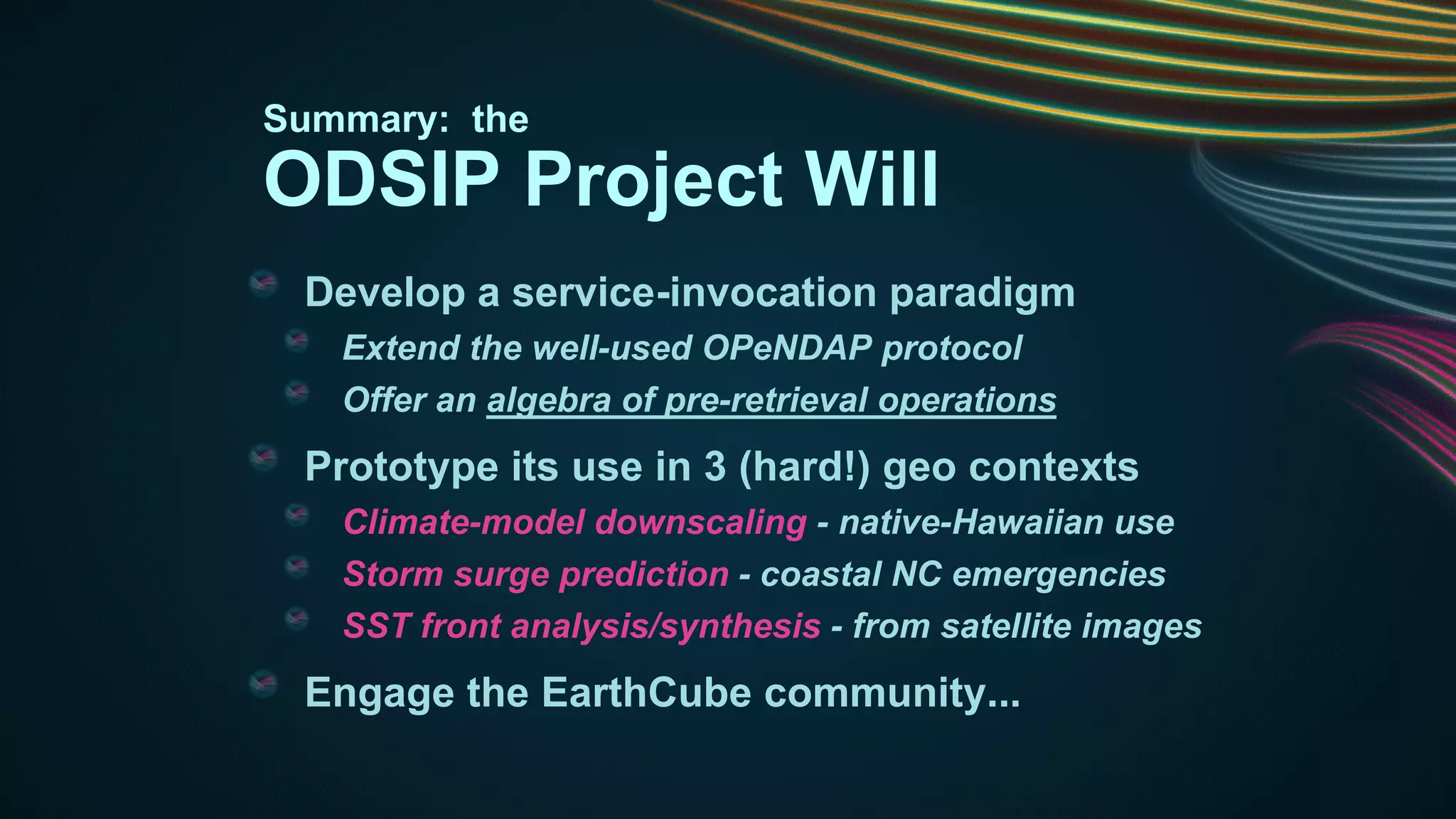

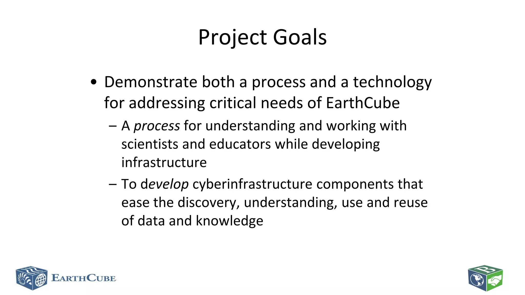
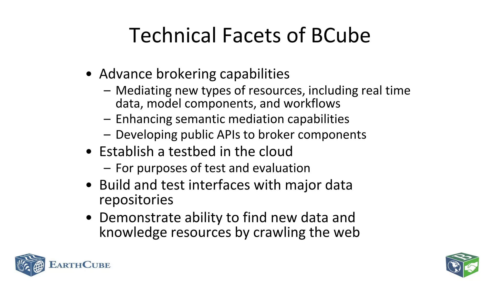


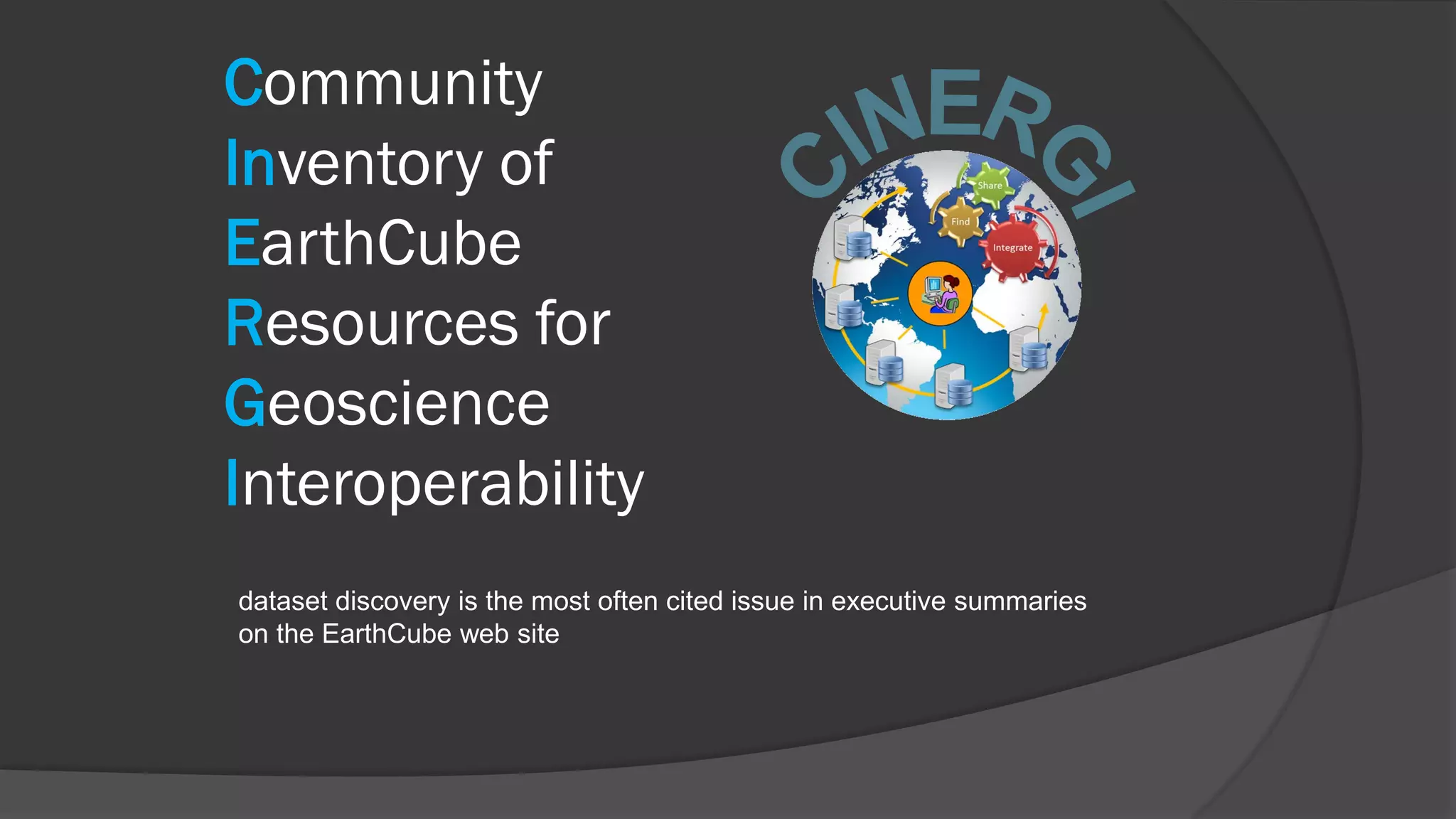
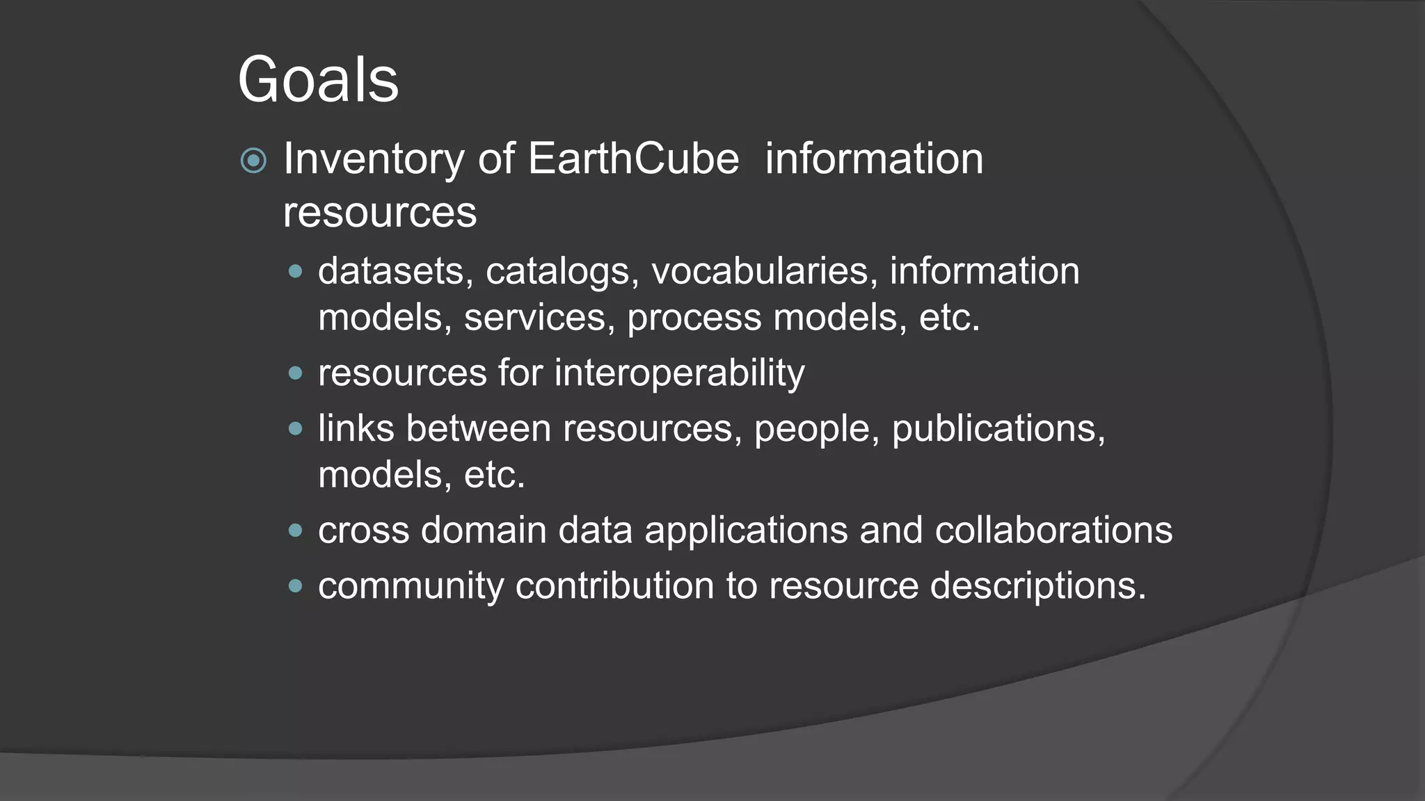
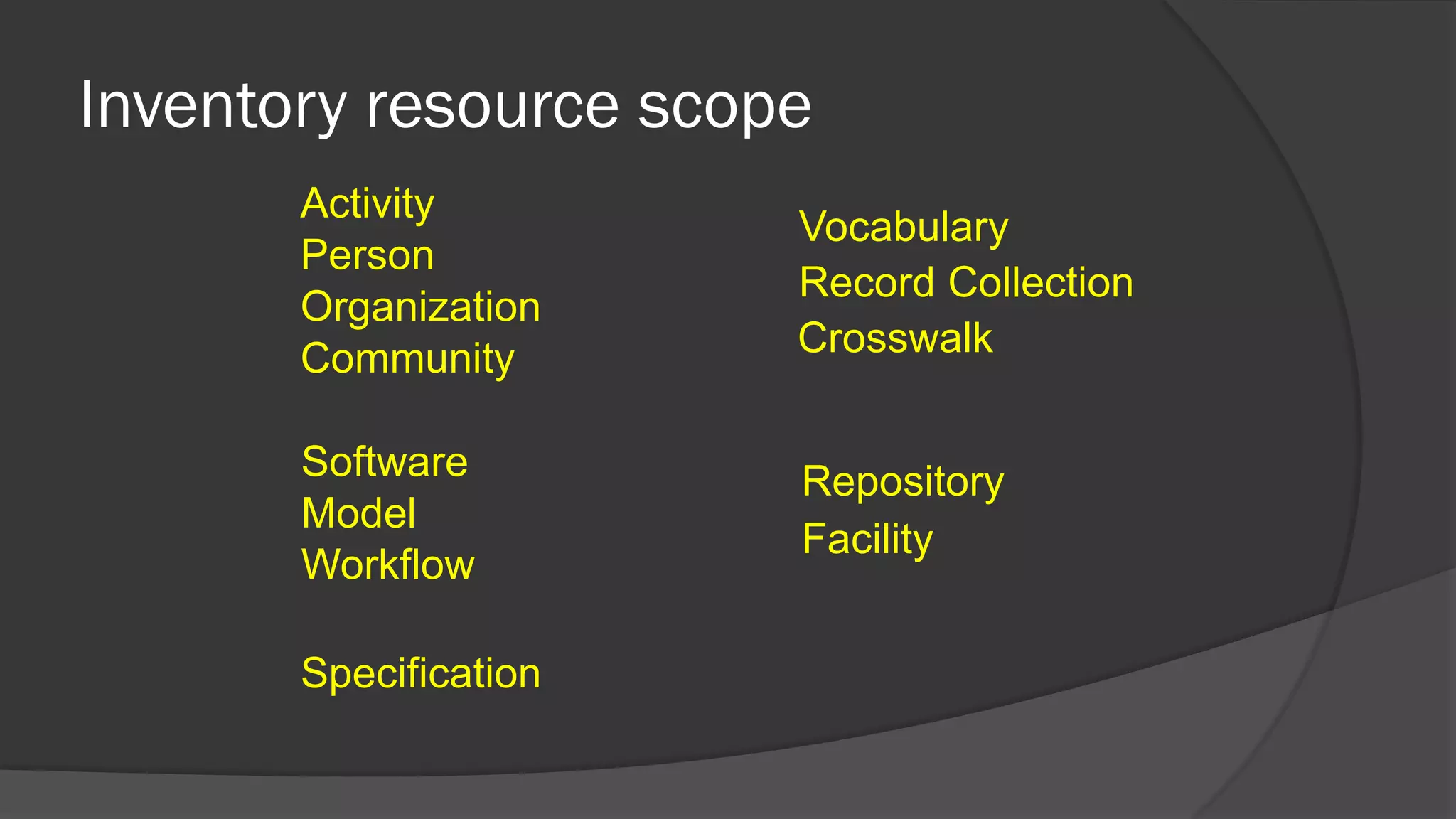
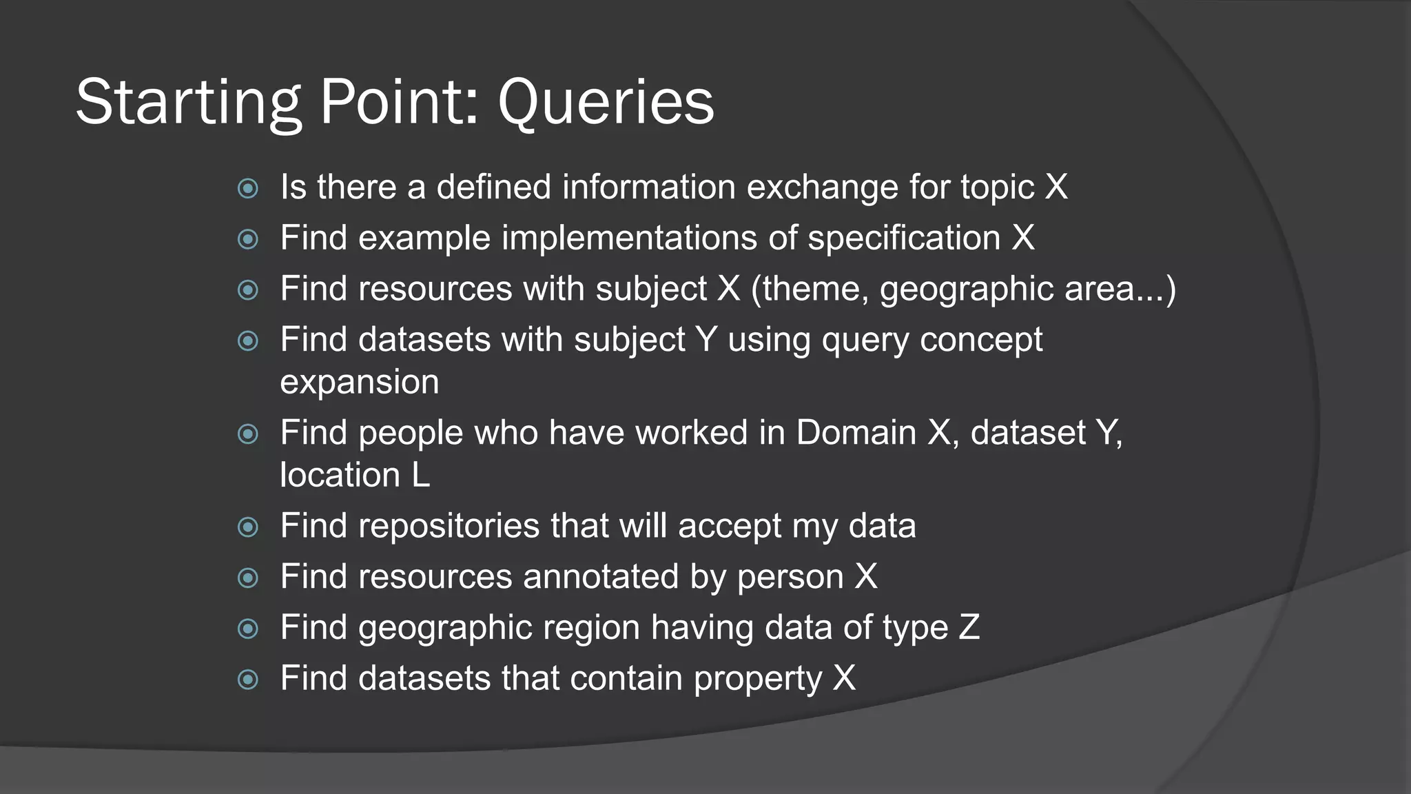
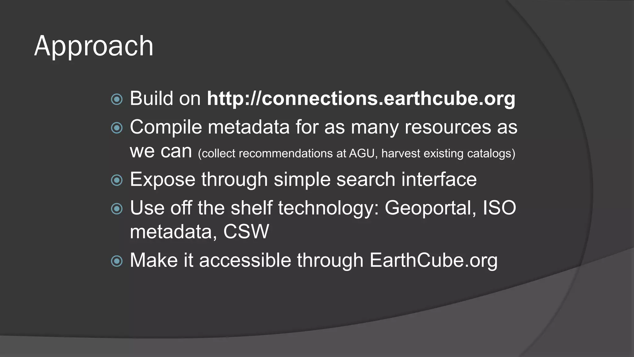

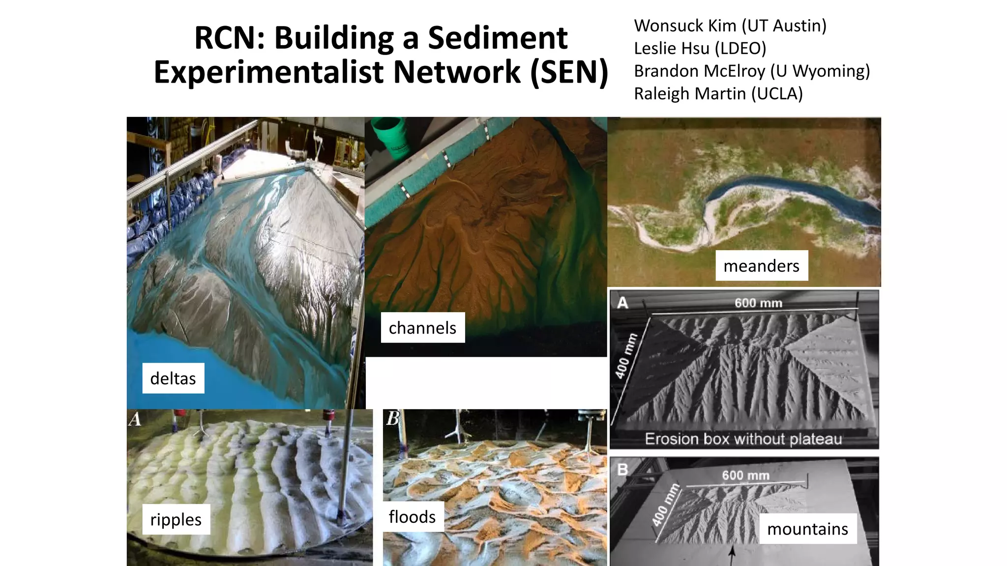
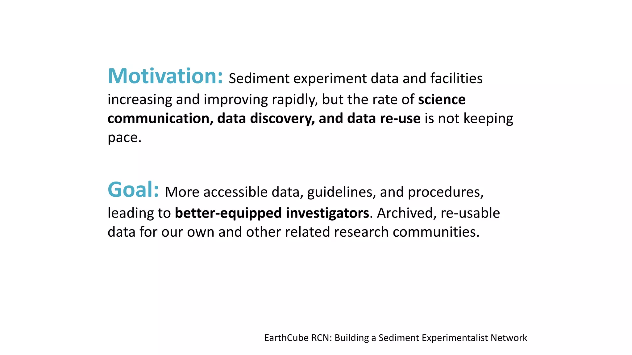

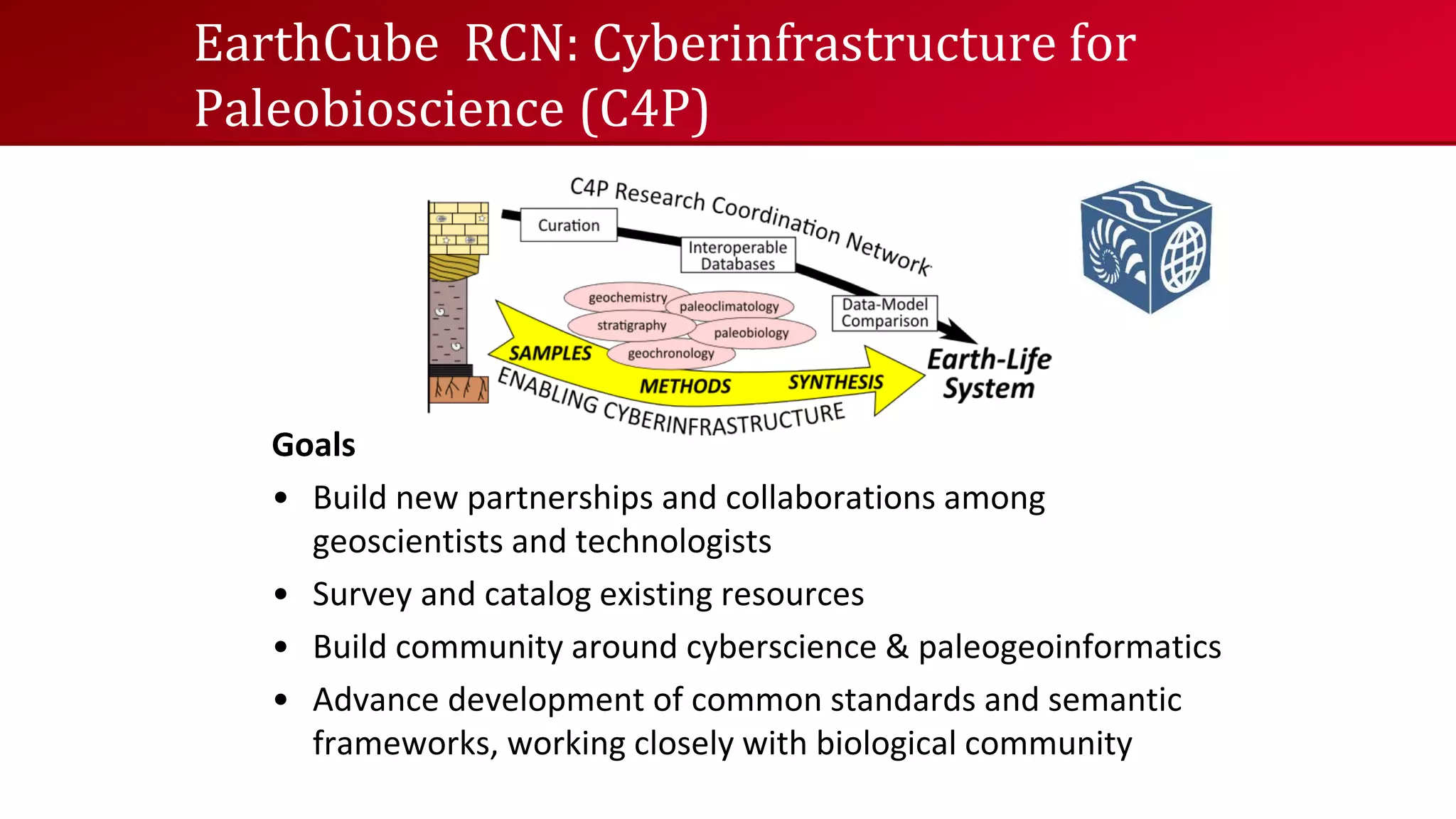


The EarthCube community's monthly webinar on November 22, 2013, highlighted various projects and building blocks aimed at enhancing geoscience data interoperability and accessibility through web services and collaboration. Key topics included the development of open data services, challenges in field research, and addressing software and data management issues in geosciences. Several initiatives were discussed, such as the Earth System Bridge, a sediment experimentalist network, and efforts in the cyberinfrastructure for paleosciences.


