Download to read offline


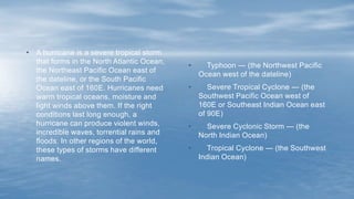

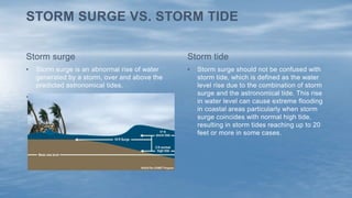
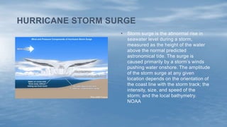
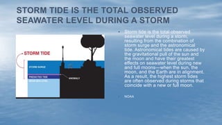
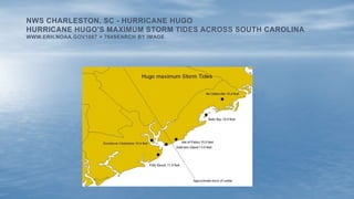
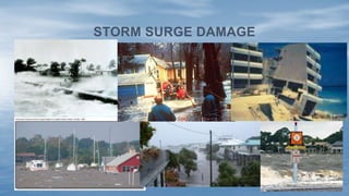

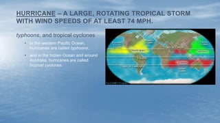
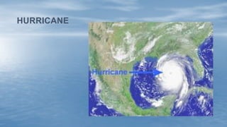
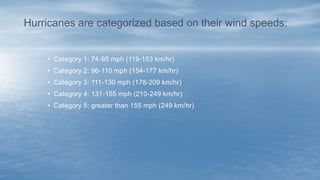


1) Hurricanes are severe tropical storms that form over warm ocean waters and bring strong winds, heavy rain, and storm surge flooding. 2) They are categorized on a scale of 1 to 5 based on wind speed, with category 3 and above considered major hurricanes. 3) Storm surge, which is increased by hurricane winds, causes the most damage from hurricanes and is the rising of sea water above the normal tide level.


![Koppen classification and land area characteristics [autosaved]](https://cdn.slidesharecdn.com/ss_thumbnails/koppenclassificationandlandareacharacteristicsautosaved-210129205232-thumbnail.jpg?width=640&height=640&fit=bounds)


