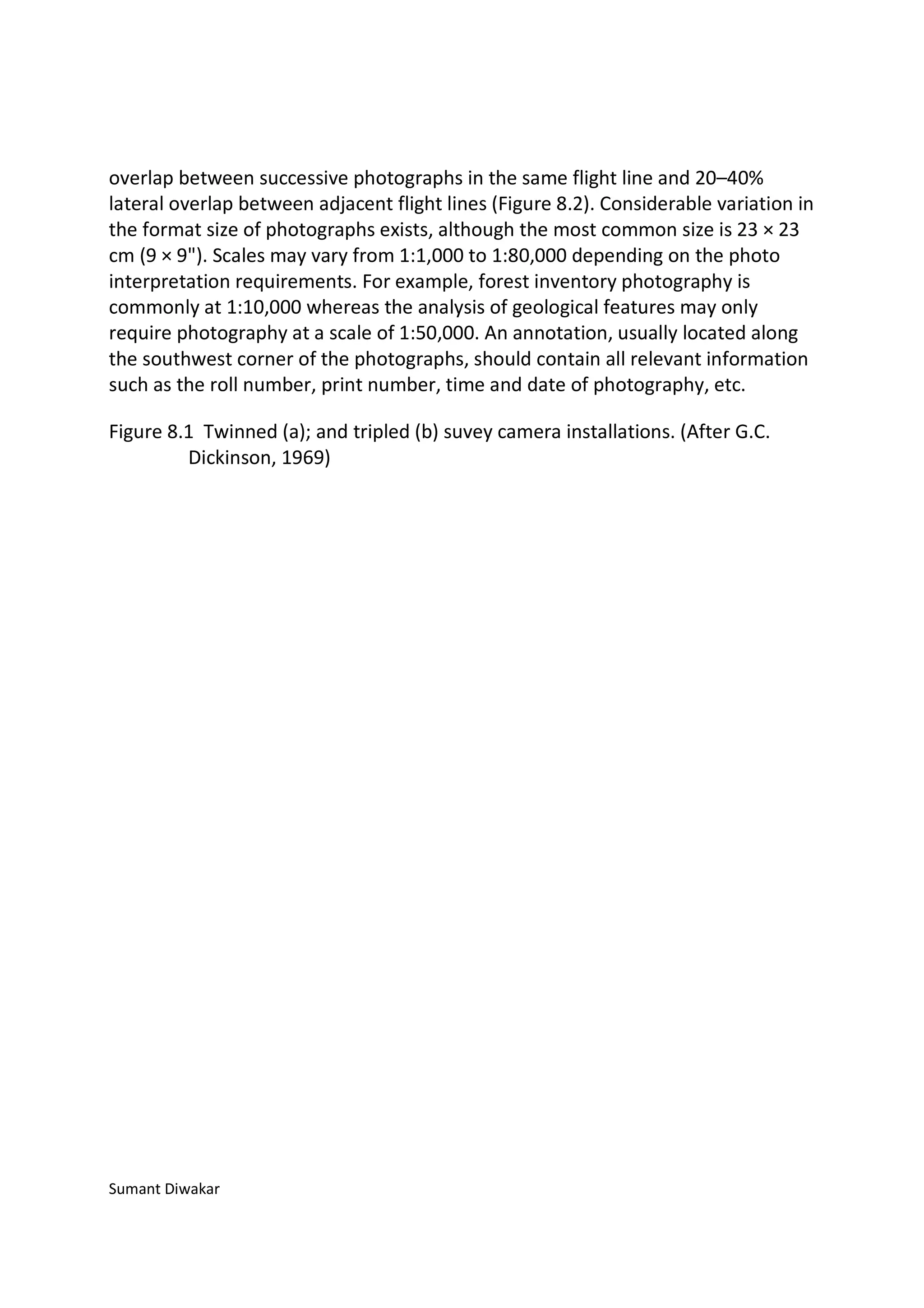
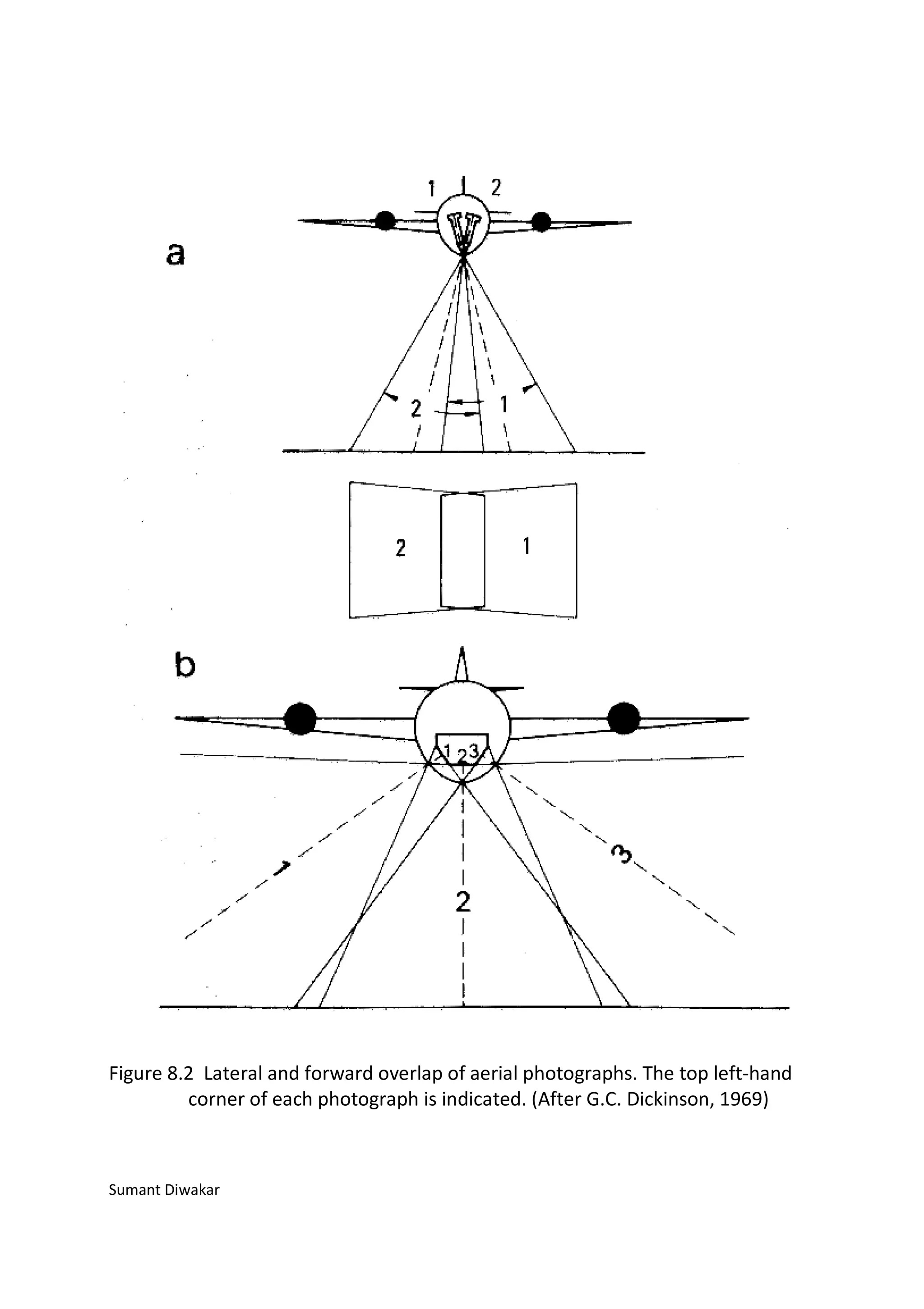
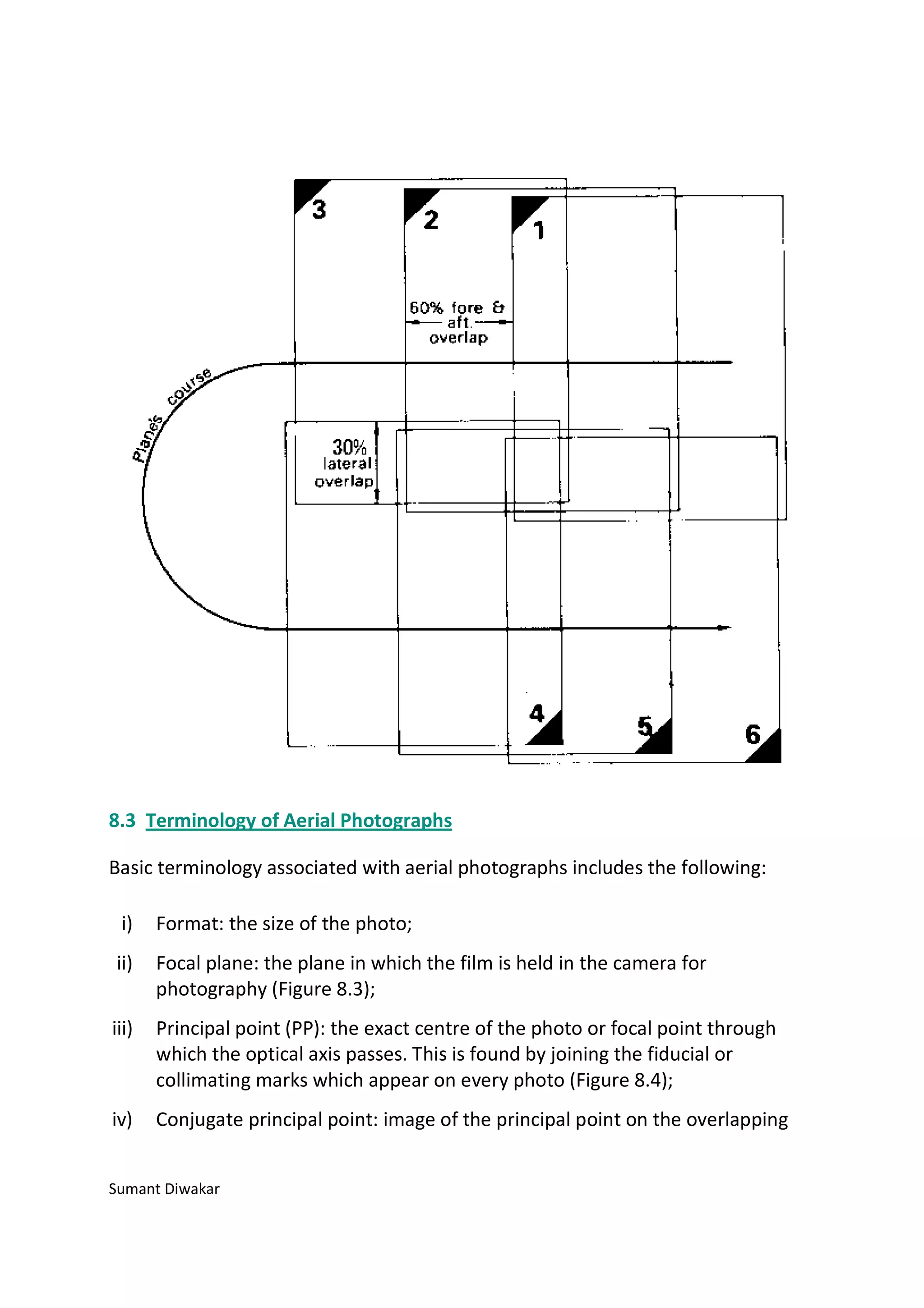
Downloaded 363 times


Aerial photographs provide valuable information about the coastal and terrestrial environment when interpreted correctly. Vertical aerial photographs can be used to update existing maps and create new maps. Simple instruments can be used to correct horizontal distortion in aerial photographs and transfer information to line maps. More advanced photogrammetric equipment is required to correct for height displacement. Stereoscopic analysis of overlapping aerial photographs allows for three-dimensional interpretation of terrain and features.


![Vibe Coding vs. Spec-Driven Development [Free Meetup]](https://cdn.slidesharecdn.com/ss_thumbnails/vibecodingvsspecdrivendevelopment-251209105622-43f455e7-thumbnail.jpg?width=640&height=640&fit=bounds)


