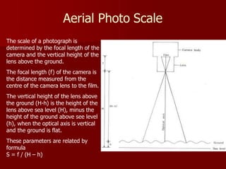
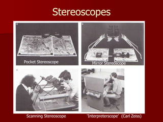
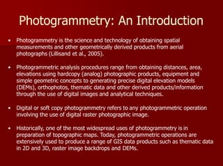
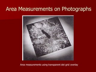
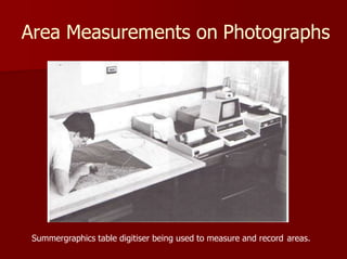
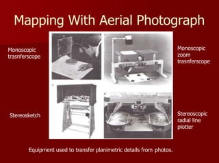
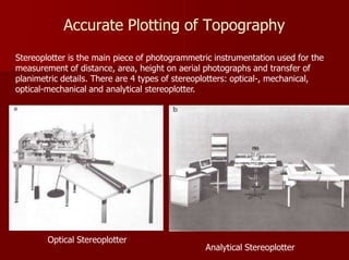
Aerial photography involves taking photographs from aircraft or other aircraft. It allows for a synoptic view of large areas, captures time within a spatial context, and provides three-dimensional perspective. Aerial cameras are precision instruments designed for mapping applications. Photogrammetry uses stereoscopic aerial photo pairs to measure distances, areas, and elevations on the ground. Mapping can be done from aerial photos using various stereoscopic equipment to transfer planimetric details.

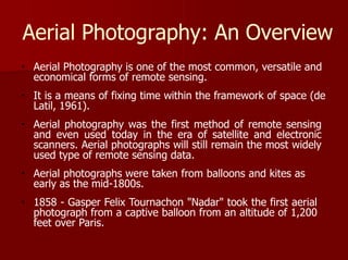
![Defining Aerial Photography
Photography means the art, hobby, or profession of taking
photographs, and developing and printing the film or
processing the digitized array image
Photography is production of permanent images by means of
the action of light on sensitized surfaces (film or array inside a
camera), which finally giving rise to a new form of visual art
Aerial Photography means photography from the air
The word ‘aerial’ originated in early 17th century
[Formed from Latin aerius , from Greek aerios , from aēr
‘air’.]](https://image.slidesharecdn.com/aerialphotography-240103072633-5e693501/85/Aerial-Photography-pptx-3-320.jpg)


![Polymer [ बहुलक ] Chemistry Notes PDF - Irfanullah Mehar - JJ Sir Chemistry.pdf](https://cdn.slidesharecdn.com/ss_thumbnails/polymerchemistrynotespdf-irfanullahmehar-jjsirchemistry-260210172118-3f9b37f7-thumbnail.jpg?width=640&height=640&fit=bounds)


