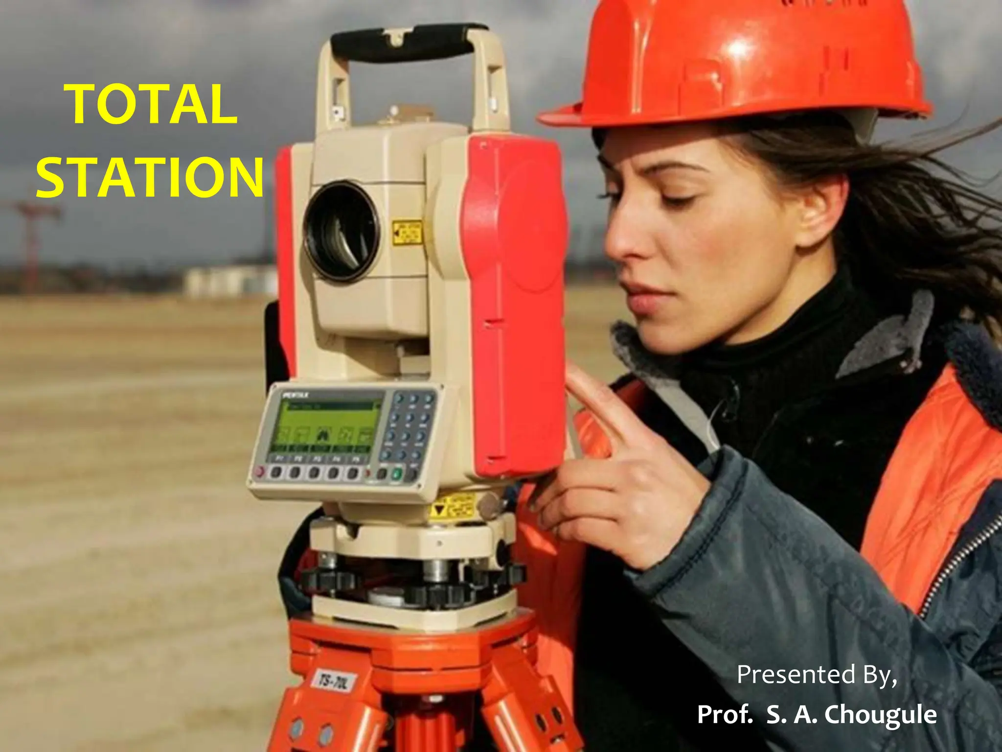
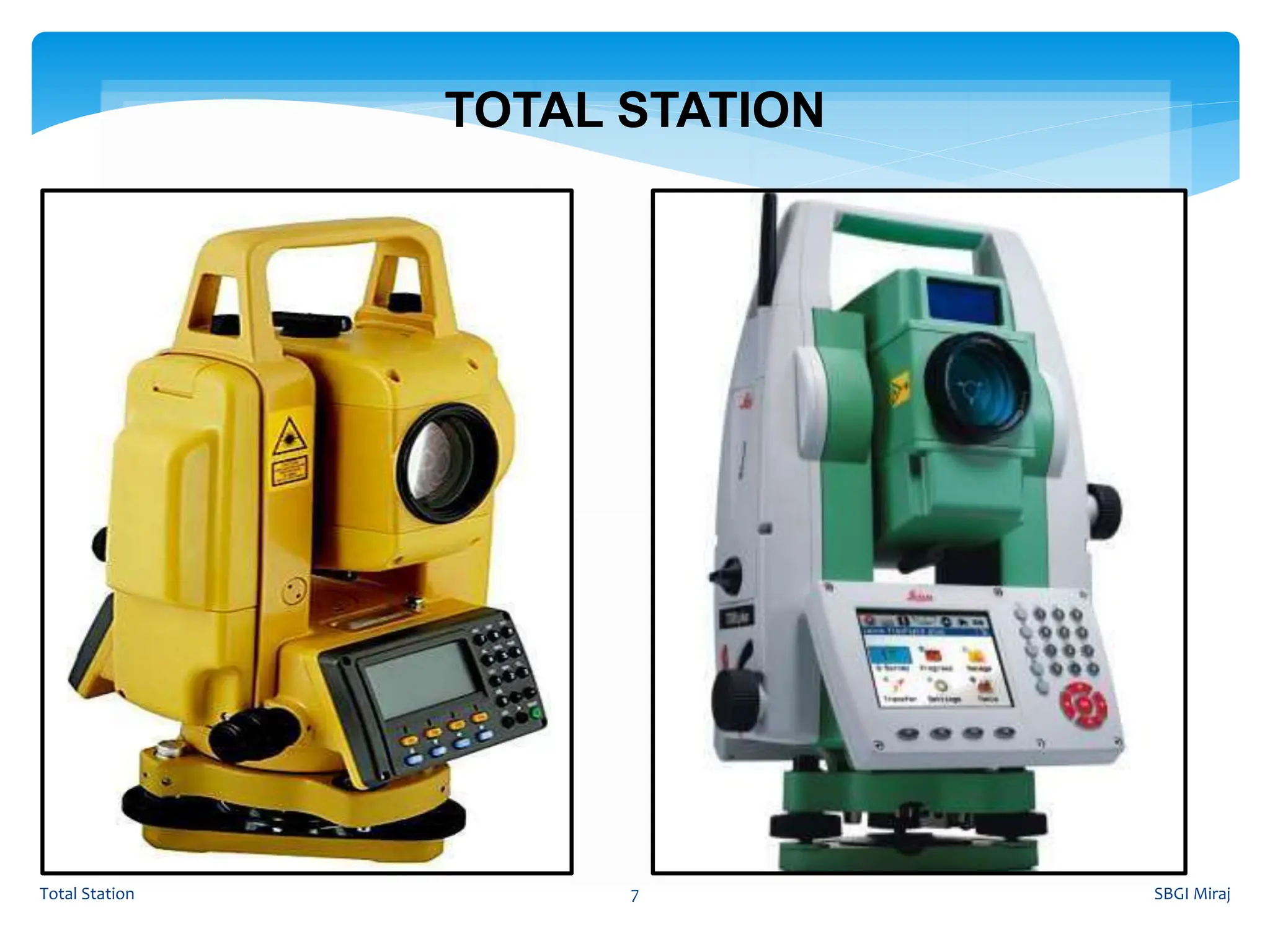
2. Surveying is the most important, oldest practice carried out,
which includes, taking of measurements on, below or above the
surface of the ground and to plan the course of further actions,
based on the findings of the survey.
The linear measurements and angular measurements are measured
with the aid of few instruments, viz., tape, chain, staff, dumpy
level, theodolite, etc.
All the readings are noted in field books or survey records and
kept as a hard copy and the calculations are done later in office
With such surveying instruments, survey work will be slow and
tedious.
BASICS OF SURVEYING
SBGI Miraj
Total Station 2
3. SBGI Miraj
Total Station 3
FUNDAMENTAL PRINCIPLES OF SURVEYING
Always work from whole to the part
Location of a Point by measurement (Linear or Angular) from at
least two points of reference
8. A combination of an
electronic theodolite, an
electronic distance
meter (EDM) and
software running on an
external computer.
SBGI Miraj
Total Station 8
TOTAL STATION
10. An optical instrument used in modern surveying.
Determine angles and distances.
Can display the results in a real time.
Used for all types of surveys.
Replaced all instruments.
SBGI Miraj
Total Station 10
TOTAL STATION
11. 1. Targets or Prisms to accurately define the target
point of direction measurement.
2. A download cable and software on a PC to capture
and process the captured digital data to produce
contour and detail maps
SBGI Miraj
Total Station 11
AUXILIARY EQUIPMENTS REQUIRED
13. SBGI Miraj
Total Station 13
PRINCIPLE OF EDM
The general principle involves sending a modulated Electro-
magnetic (EM) beam from one transmitter at the master station to
a reflector at the remote station and receiving it back at the master
station.
The instrument measures slope distance between transmitter and
receiver by modulating the continuous carrier wave at different
frequencies, and then measuring the phase difference at the
master station between the outgoing and the incoming signals.
This establishes the following relationship for a double distance
(2D).
15. Measures ,Records and Calculates
1.Horizontal Angle
2.Vertical Angle
3.Horizontal Distance
4. Vertical Distance
5. Slope Distance
6.X,Y,Z co-ordinates
7. Layout etc.
SBGI Miraj
Total Station 15
TOTAL STATION
16. It is used for:
General purpose angle measurement.
General purpose distance measurement.
Provision of control surveys.
Contour and detail mapping.
Setting out and construction work.
SBGI Miraj
Total Station 16
TOTAL STATION
17. Distance measurement:
A total station has a small solid state emitter within the
instrument’s optical path. They generate modulated microwave
or infrared signals that are reflected by a prism reflector or the
object under survey. The modulation pattern in the returning
signal is read and interpreted by the computer in the total station.
The distance is thus determined by emitting and receiving
multiple frequencies and determining the integer number of
wavelength, to the target, for each frequency.
SBGI Miraj
Total Station 17
TOTAL STATION: Functions
18. Coordinates determination:
Total station determines the coordinates of an unknown point
relative to the known coordinate by establishing a direct line of
sight between the two points. Angles and distances are measured
from the total station to points under survey and the coordinates
of surveyed points relative to the total station position are
calculated using trigonometry and triangulation. Some total
stations have Global Navigation Satellite System (GNSS), which
does not require direct line of sight to determine coordinates.
SBGI Miraj
Total Station 18
TOTAL STATION: Functions
19. Angular measurement:
Most of the modern total stations have digital bar- codes on rotating
glass cylinder that are installed within the instrument. Angle
measurements is done through electro-optical scanning of these
digital bar-codes.
Data processing:
The data recorded by the instrument may be downloaded from the
theodolite to a computer and the application software in turn
generates a map of the survey area. Many advanced models of total
station have built-in micro-processor to record and compute
distances, horizontal and vertical angles.
SBGI Miraj
Total Station 19
TOTAL STATION: Functions
20. The following post processing computer software packages are in
use for various engineering applications.
1.Arc Pad, arc view, arc info -conversion from raster to vector form
2.Micro Station - Map generation
3.Erdas –Image processing s/w
4. Surfer, Auto plotter, Civil cad, Pythagoras –preparation of
contours
5. Survey aid –to draw c/s and l/s
The information received is to be analyzed depending on the users requirement.
SBGI Miraj
Total Station 20
Data Process
21. Quick setting of the instrument on the tripod using laser
plummet.
Greater accuracy in area computation.
Automation of old map.
On-board area computation Programme to compute the area of
the field.
Integration of database.
Graphical view of plots and land
SBGI Miraj
Total Station 21
TOTAL STATION: Advantages
22. Difficult for the surveyor to look over and check the
work while working.
Instrument is costly.
For operation, skilled persons are required.
For over all check of the survey, it will be necessary
to return appropriate software.
SBGI Miraj
Total Station 22
TOTAL STATION: Disadvantages
23. General Field:
Mainly used by land
surveyors.
Used by archaeologists to
record excavations.
By Police, crime scene
investigators, private accident
re-constructionists and
insurance companies to take
measurements of scenes.
Civil Engineering
General purpose angle
measurements.
General purpose distance
measurement.
Provision of control surveys.
Contour and detail mapping.
Setting out and construction
work.
SBGI Miraj
Total Station 23
TOTAL STATION: Applications