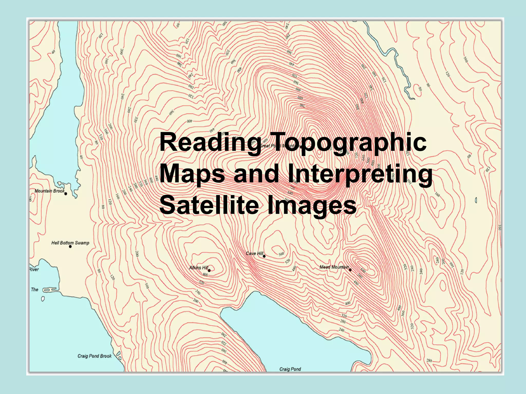
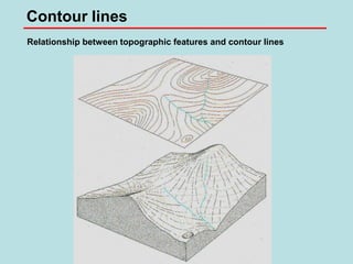
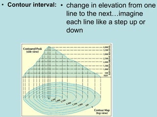
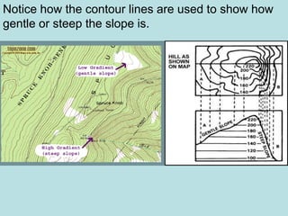
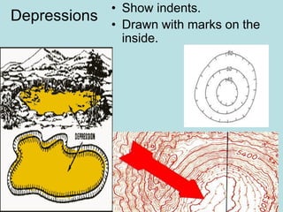
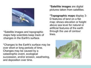
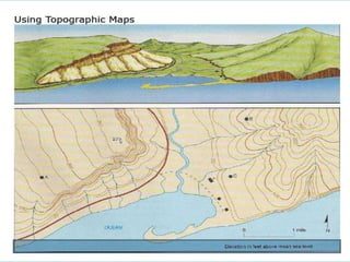
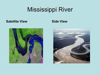
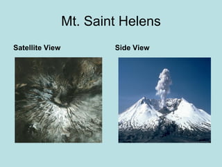
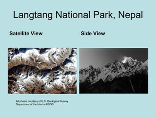
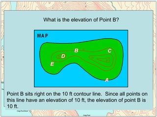
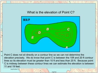
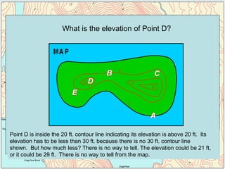
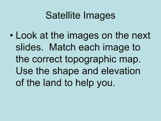
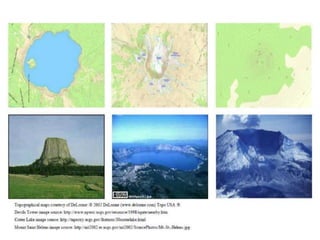
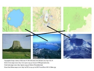
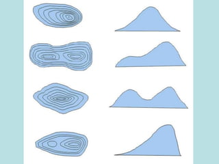
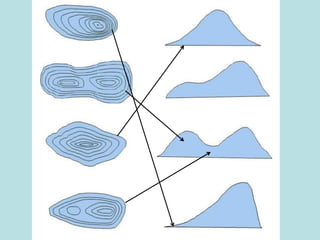
Topographic maps provide three-dimensional information about natural and man-made features of landscapes using contour lines to show elevations. Contour lines connect points of equal height, with steeper slopes having lines closer together. Topographic maps depict mountains, valleys, plains, rivers, lakes, roads, boundaries, buildings and other structures, and are used for purposes like engineering, planning, military operations, and recreation. Satellite images can be matched to topographic maps using the shapes and elevations of the landscapes.