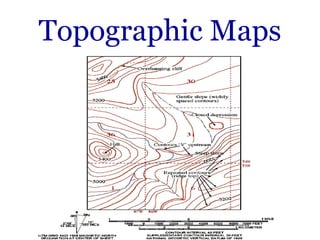
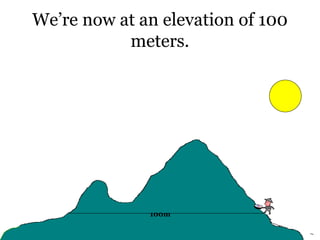
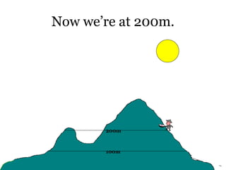
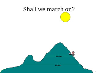
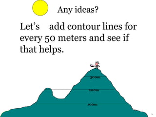
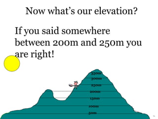
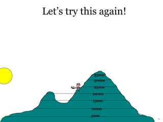
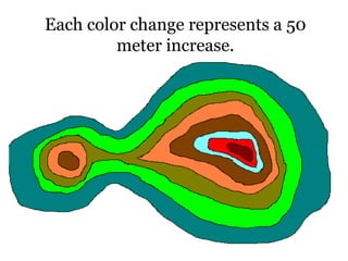
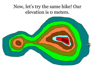
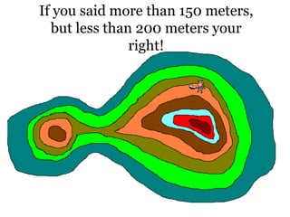
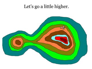
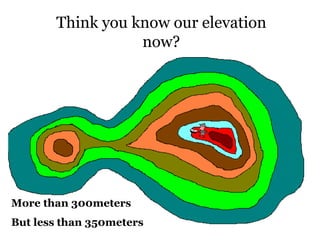
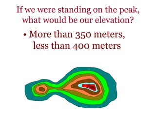
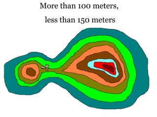
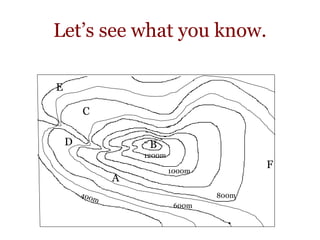
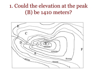
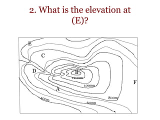
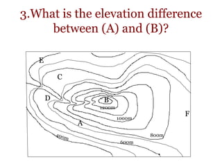
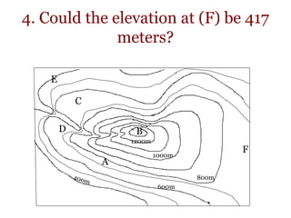
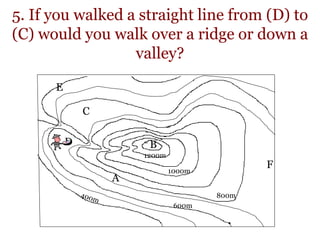
30. Let’s see what you know.
800m
1000m
1200m
A
B
C
D
E
F
600m
31. Grab a piece of paper and write your
answers to the following questions.
Ready?
32. 1. Could the elevation at the peak
(B) be 1410 meters?
800m
1000m
1200m
A
B
C
D
E
F
600m
33. 2. What is the elevation at
(E)?
800m
1000m
1200m
A
B
C
D
E
F
600m
34. 3.What is the elevation difference
between (A) and (B)?
800m
1000m
1200m
A
B
C
D
E
F
600m
35. 4. Could the elevation at (F) be 417
meters?
800m
1000m
1200m
A
B
C
D
E
F
600m
36. 5. If you walked a straight line from (D) to
(C) would you walk over a ridge or down a
valley?
800m
1000m
1200m
A
B
C
D
E
F
600m
37. 6.Just looking at the map, would it be
easier to head down from the peak going
East, or going North?
800m
1000m
1200m
A
B
C
D
E
F
600m
E
N
S
W
38. • 1. No :The elevation must be
under 1400 meters, but over
1300 meters.
• 2. about 400 meters
39. • 3. (A) is probably close to the
750 meter line, (B) is above
1300 meters. The difference
between the two would
probably be 550 to 600
meters.
40. • 4. No: It must be more than
700 meters and less than 800
meters.
• 5. Down a valley: If the
contour lines point up the
slope it’s a valley, if they point
down the slope it’s a ridge.
41. • 6. East: When contour lines
are close together that means
there is a steep slope, the
further apart the lines, the
more gentile the slope and
therefore an easier walk! Go
east!