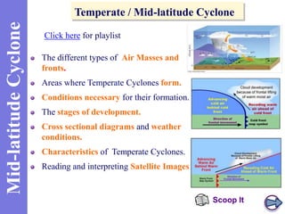
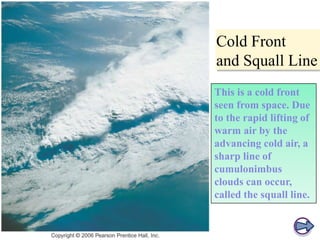
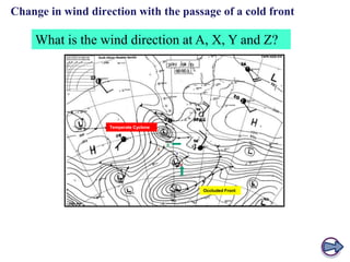
The document provides information about mid-latitude cyclones, including:
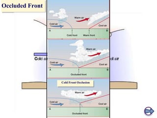
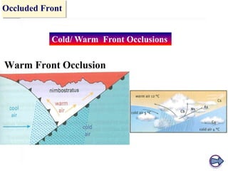
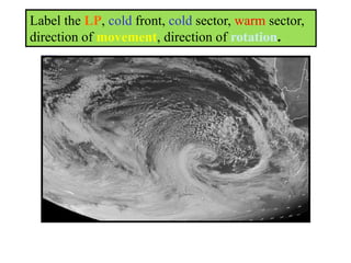
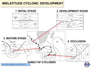
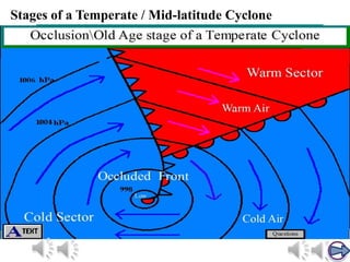
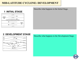
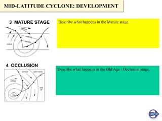
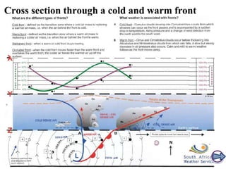
1) The stages of development of a mid-latitude cyclone are the initial, development, mature, and occlusion stages.
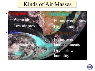
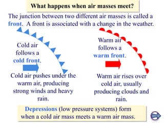
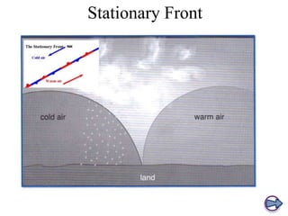
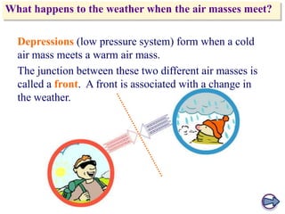
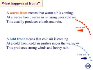
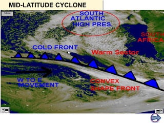
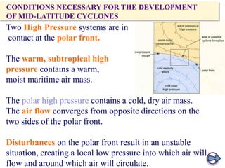
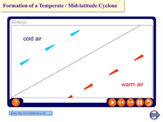
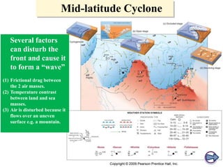
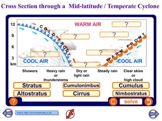
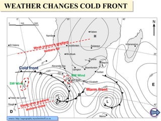
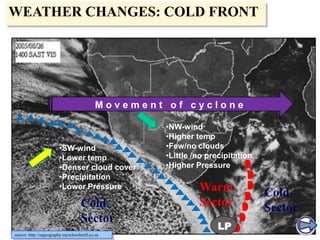
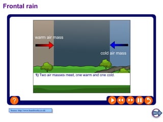
2) Conditions necessary for their formation include contact between warm/moist and cold/dry air masses at the polar front with convergence and disturbances forming a low pressure system.
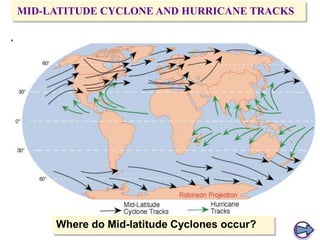
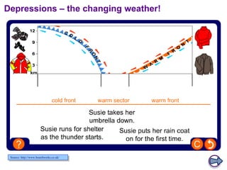
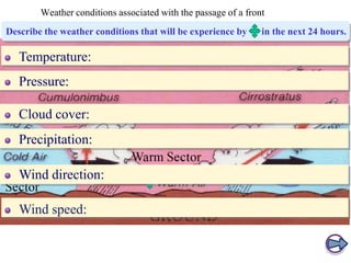
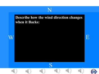
3) Characteristics include originating in mid-latitudes, moving eastward, rotating counterclockwise, having a diameter of up to 1,000 miles, bringing changing weather over 1-3 days, and being caused by clashes between different air masses.