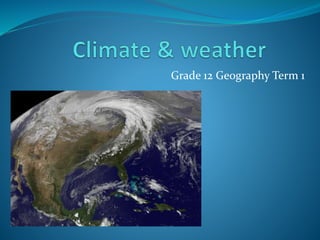
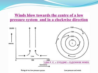
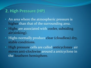
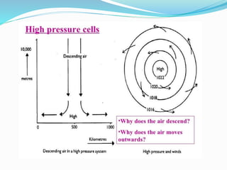
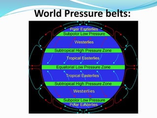
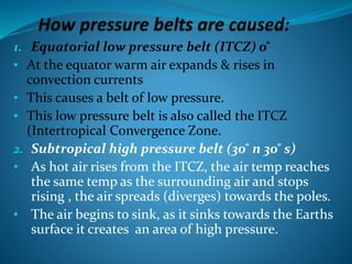
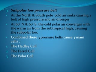
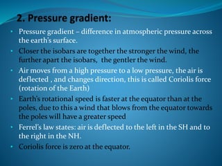
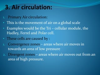
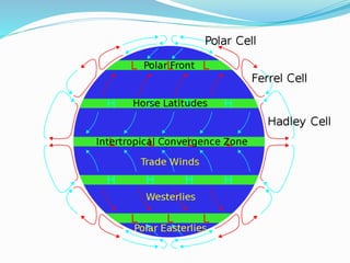
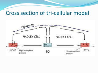
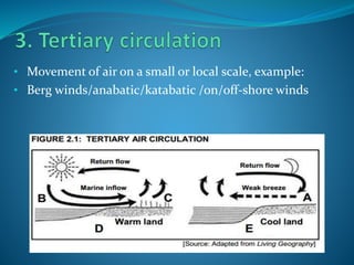
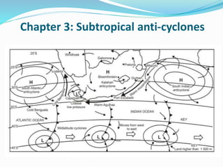
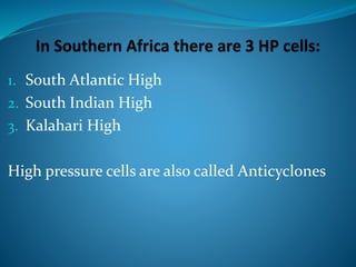
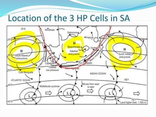
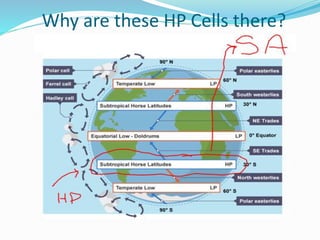
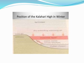
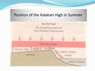
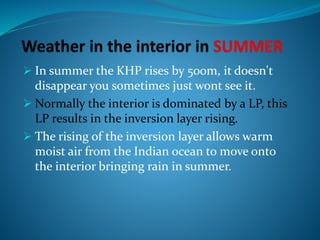
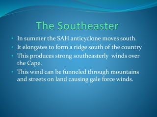
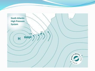
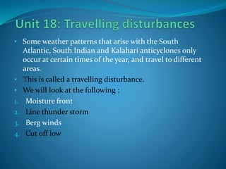
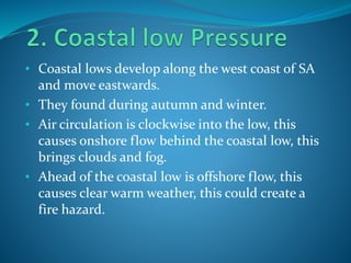
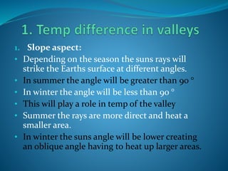
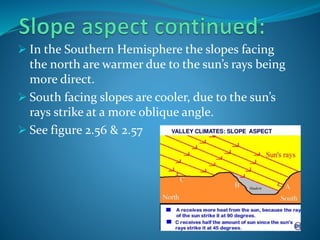
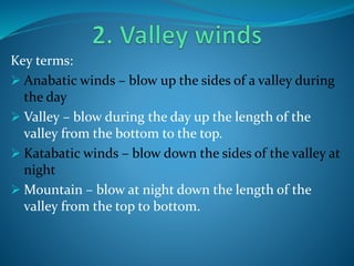
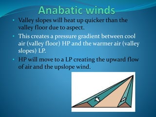
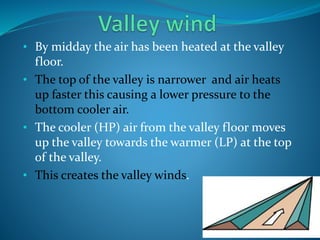
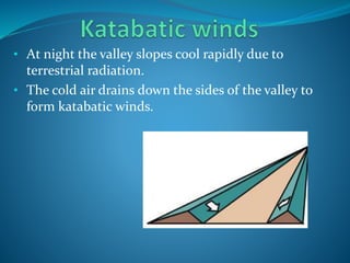
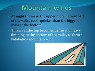
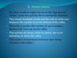
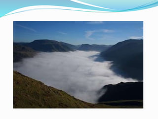
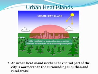
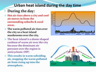
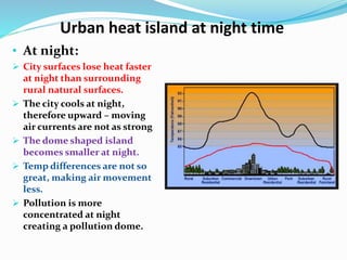
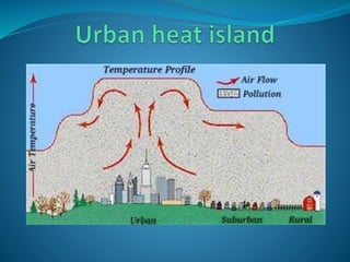
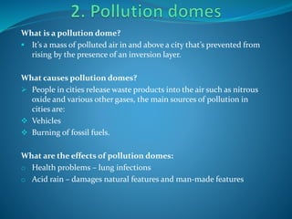
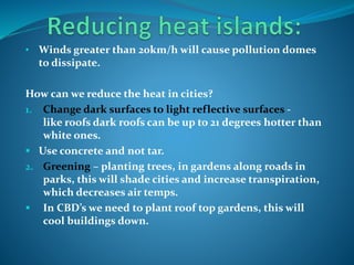
1. The document provides information on mid-latitude cyclones and weather systems in South Africa. It discusses global air circulation patterns and pressure belts.
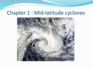
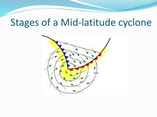
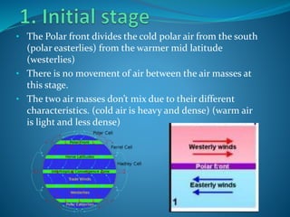
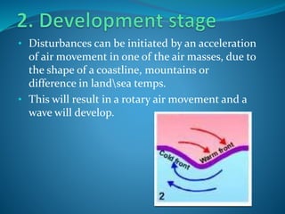
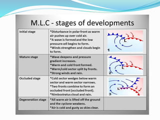
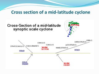
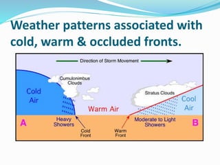
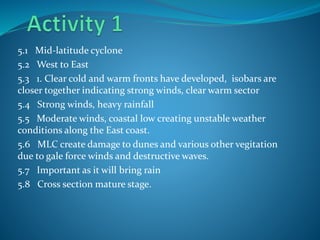
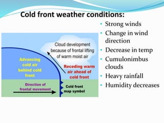
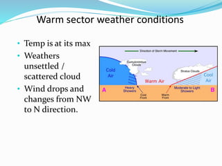
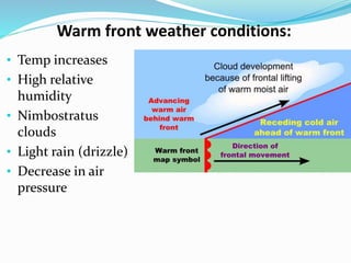
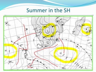
2. Mid-latitude cyclones develop between 35-60 degrees latitude and consist of warm and cold fronts. They move from west to east and can cause strong winds and heavy rainfall.
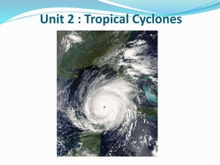
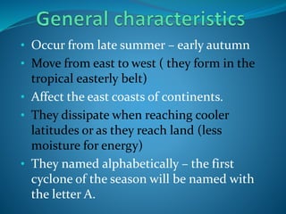
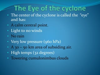
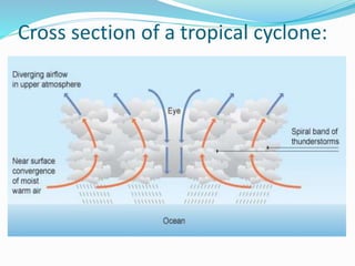
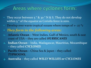
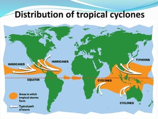
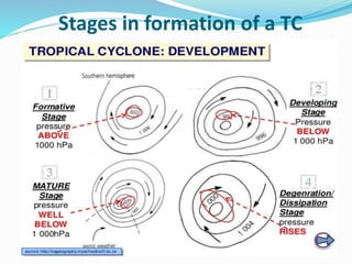
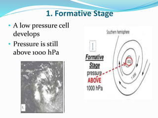
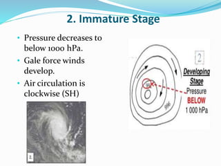
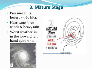
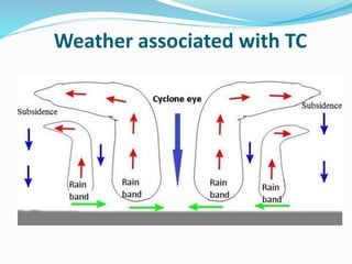
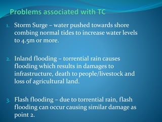
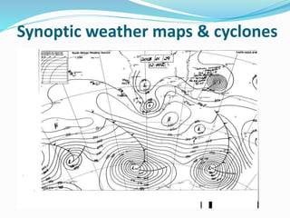
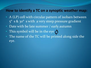
3. Tropical cyclones also known as hurricanes, typhoons or cyclones form over warm tropical oceans between 5-30 degrees latitude. They have a low-pressure eye and spiral winds that can reach hurricane force and cause flooding from heavy rain and storm surge.