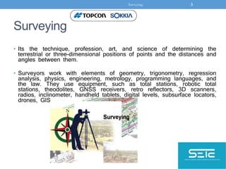
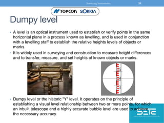
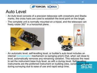
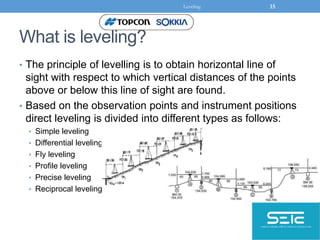
This document discusses the history and modern techniques of surveying. It provides an overview of surveying from ancient times using basic geometry and ropes, to modern digital tools like total stations, GPS, and drones. Key developments include the introduction of precision theodolites in the 18th century, electronic distance measurement in the mid-20th century, and satellite positioning systems like GPS. Common surveying instruments are described, from traditional levels, theodolites and total stations, to newer laser levels and digital levels. Leveling techniques like rise and fall calculations are also outlined.