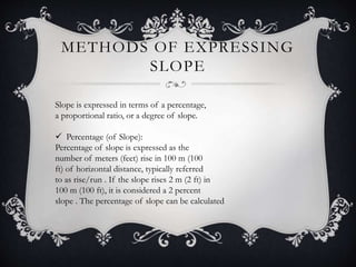
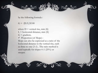
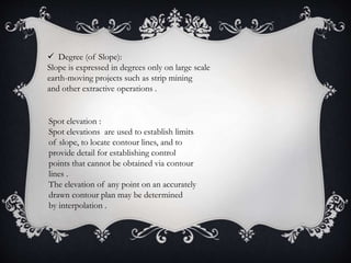
This document discusses site grading standards and processes. It defines site grading as ensuring a level or sloped base for developments like roads, railways, and landscapes. Proper grading is important for drainage and aesthetics. Methods for expressing slope include percentage, proportion, degree, and spot elevations. The grading process involves site analysis, developing a conceptual plan, preliminary cut/fill calculations, and a final grading plan. Criteria for grading elements and sports fields are provided. Earthwork involves preparation, excavation, and estimating cut and fill quantities. Information on soil and rock materials comes from agencies and site testing.


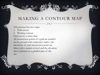
![MAKING A CONTOUR MAP
Plotting Contours :
Once all spot elevations have been determined,
contours at regular intervals [typically
1000 mm, 500 mm, or 250 mm (5 ft,
2 ft, or 1 ft)] can be located and plotted on
a map.](https://image.slidesharecdn.com/sitegrading-220720023830-5209bd4b/85/Site-grading-pptx-12-320.jpg)