Downloaded 1,240 times


![What is Landscape?
• “A portion of the earth’s surface that can be comprehended at a
glance.”
• Landscape may also be defined as natural scenery seen from
a single view point
• ‘Landscape is an attractive, important, and ambiguous term
[that] encompasses an ensemble of ordinary features which
constitute an extraordinarily rich exhibit of the course and
character of any society’ and that ‘Landscape is defined by our
vision and interpreted by our minds.
11/23/140](https://image.slidesharecdn.com/siteplanning4-151123091458-lva1-app6892/85/Site-Planning-40-320.jpg)

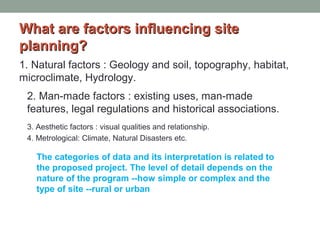
The document outlines essential factors influencing site planning, including natural, man-made, aesthetic, and meteorological considerations. It details stages of site analysis, from initial client consultations to detailed design plans, emphasizing the importance of slope, soil, and existing land use in the evaluation process. Additionally, it discusses the impact of legal regulations and visual quality on landscape design.


![Introduction to world literature[1]](https://cdn.slidesharecdn.com/ss_thumbnails/introductiontoworldliterature1-120817220420-phpapp02-thumbnail.jpg?width=640&height=640&fit=bounds)


![ceramic-art-and-pottery [Autosaved].pptx](https://cdn.slidesharecdn.com/ss_thumbnails/ceramic-art-and-potteryautosaved-260113113456-35c55ddb-thumbnail.jpg?width=640&height=640&fit=bounds)


