Download as PDF, PPTX
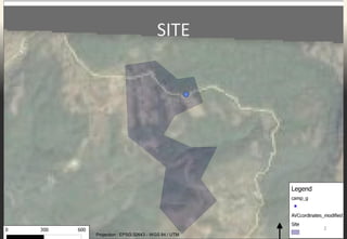
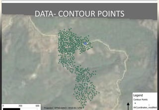
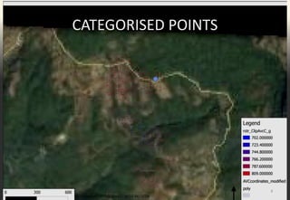
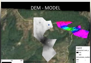
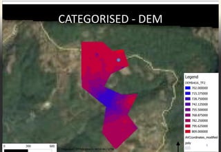
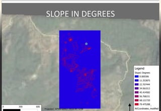
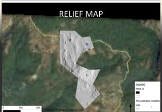
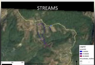
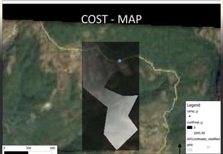
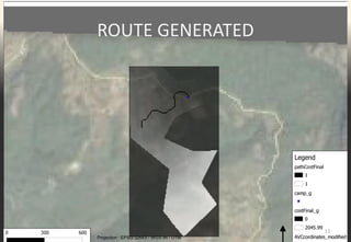
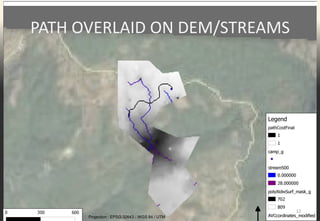
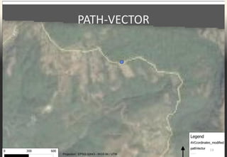
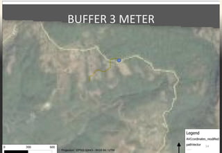
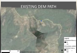
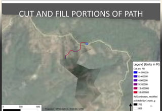
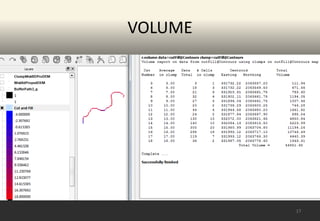

The document details a QGIS route analysis project that involves terrain modeling, cut and fill analysis, and volumetric calculation. It outlines various GIS data projections and layers including contour points, DEM models, slope maps, and generated routes. The analysis incorporates cost maps and examines existing paths alongside the findings.