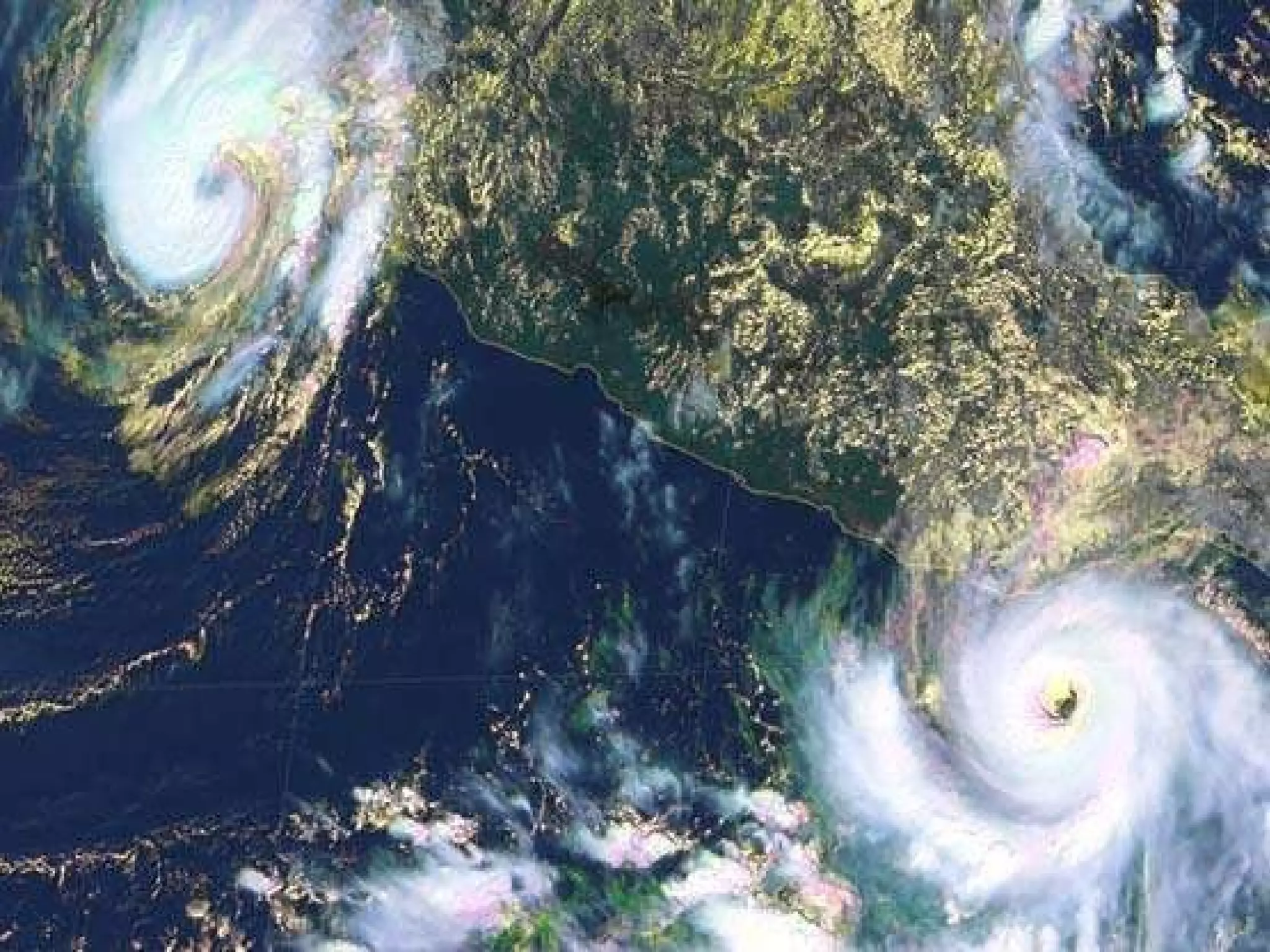
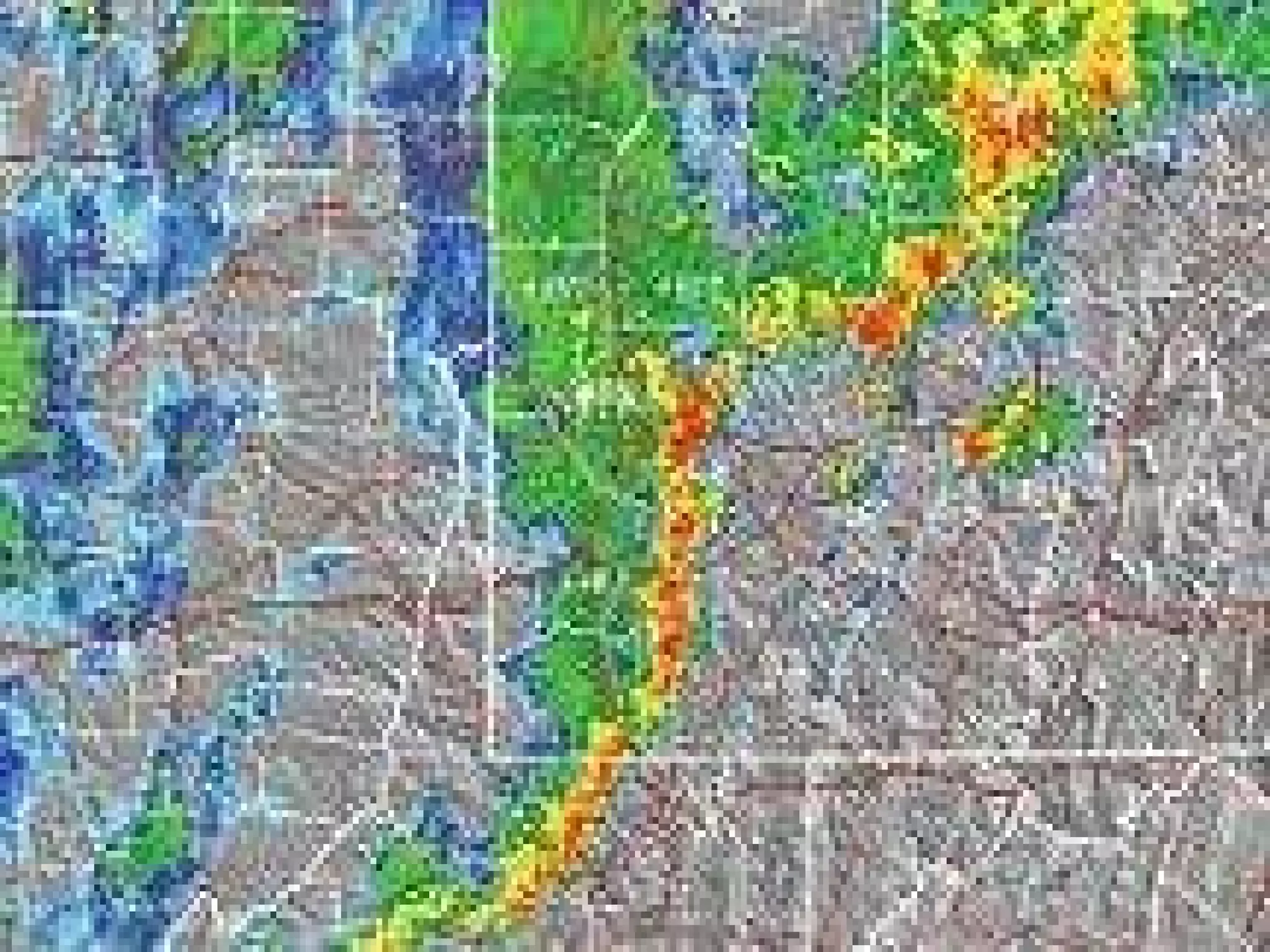
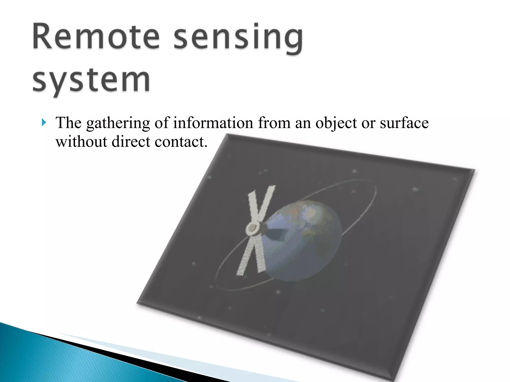
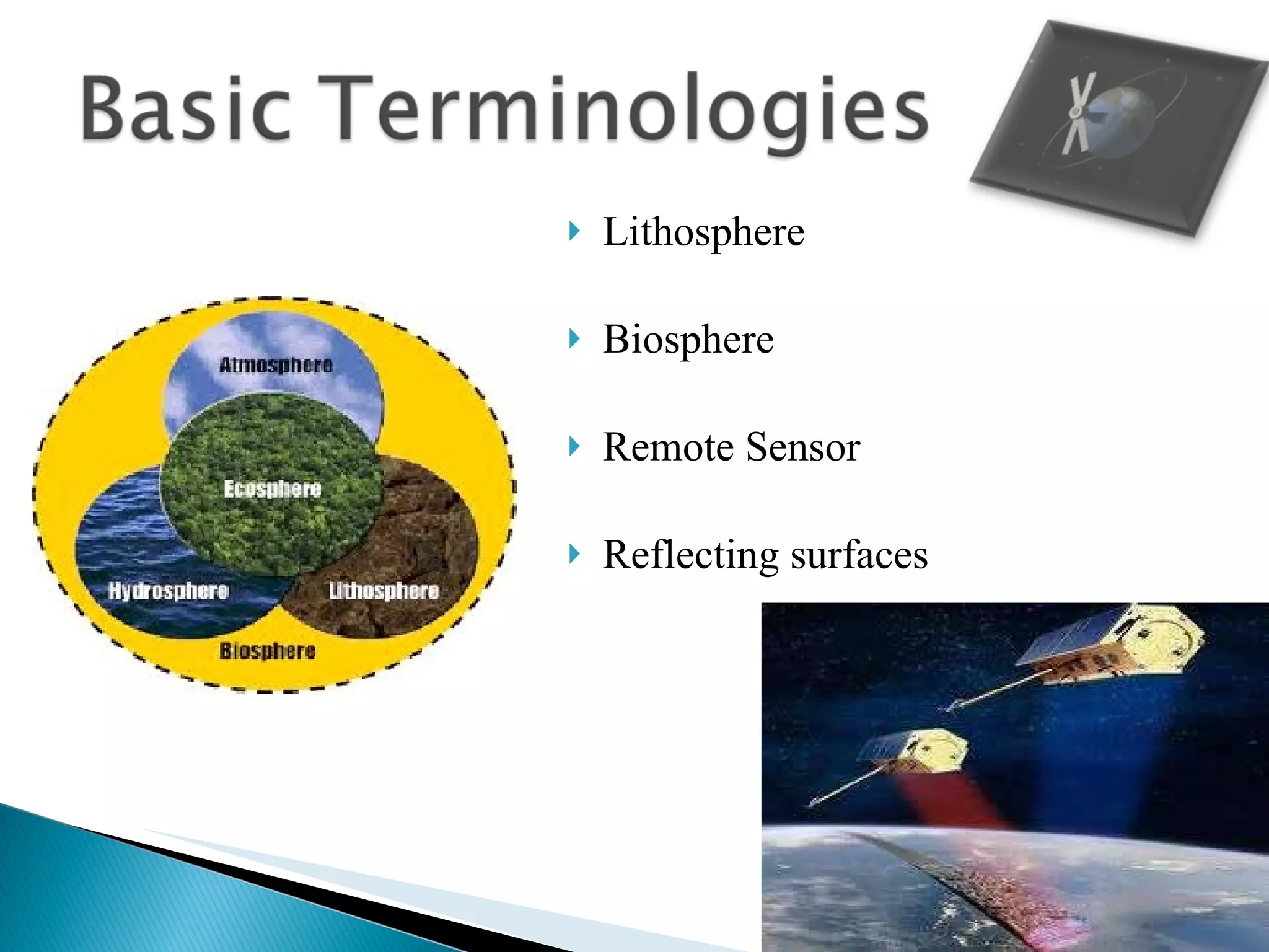
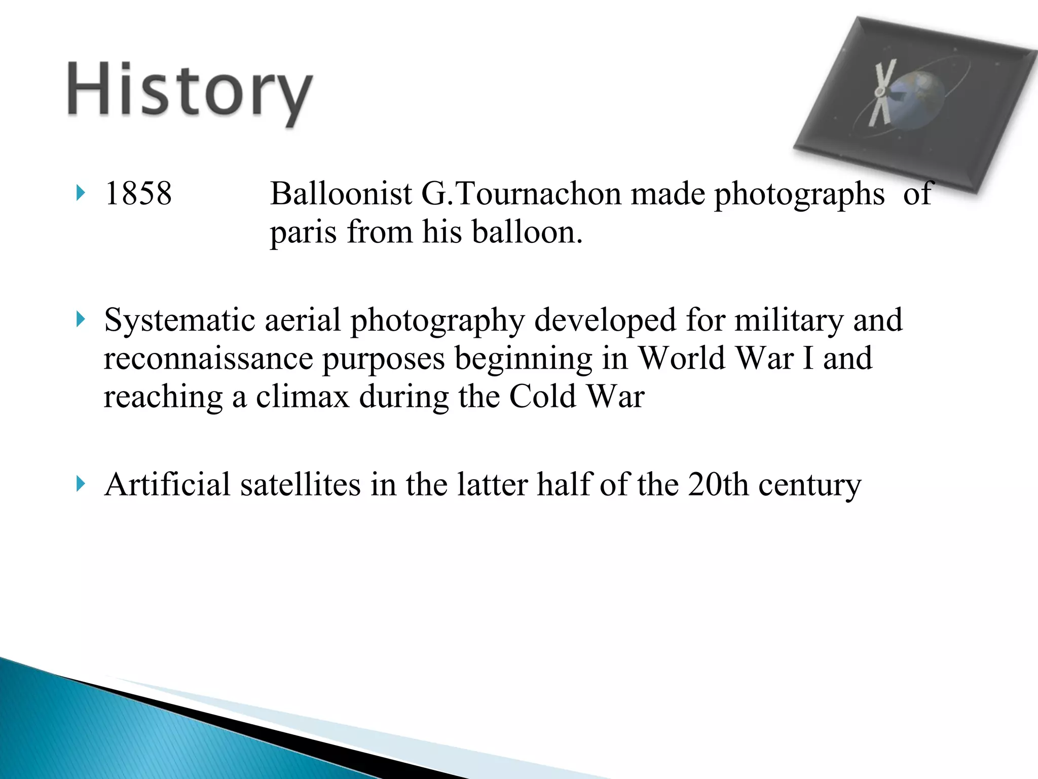
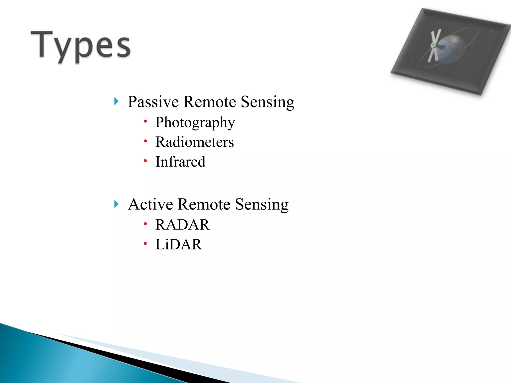
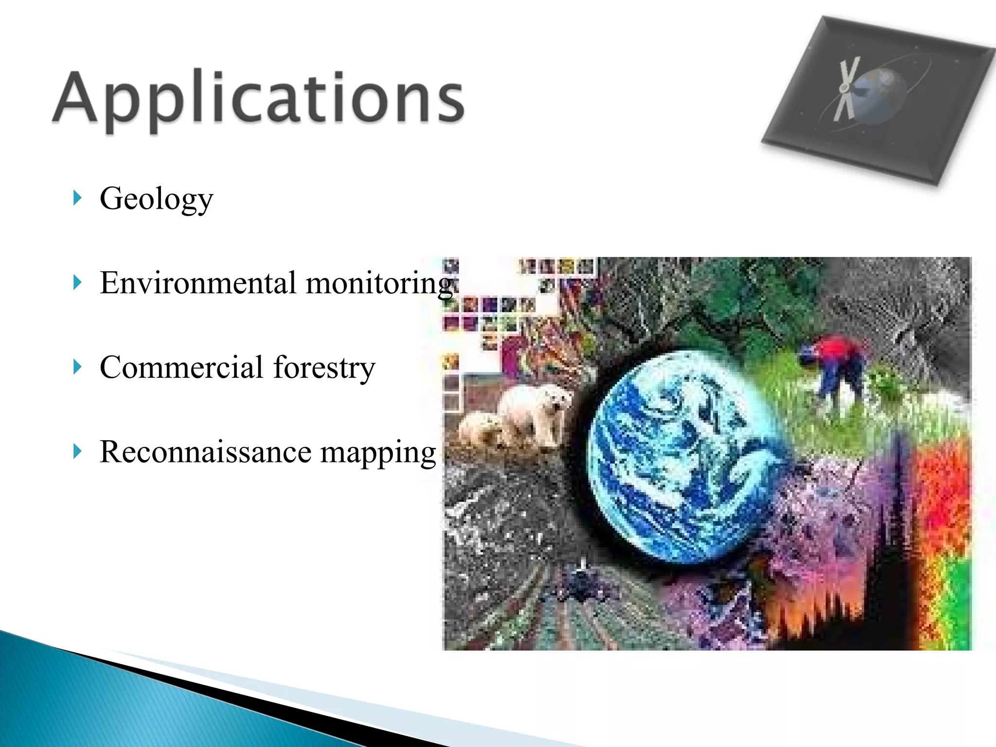
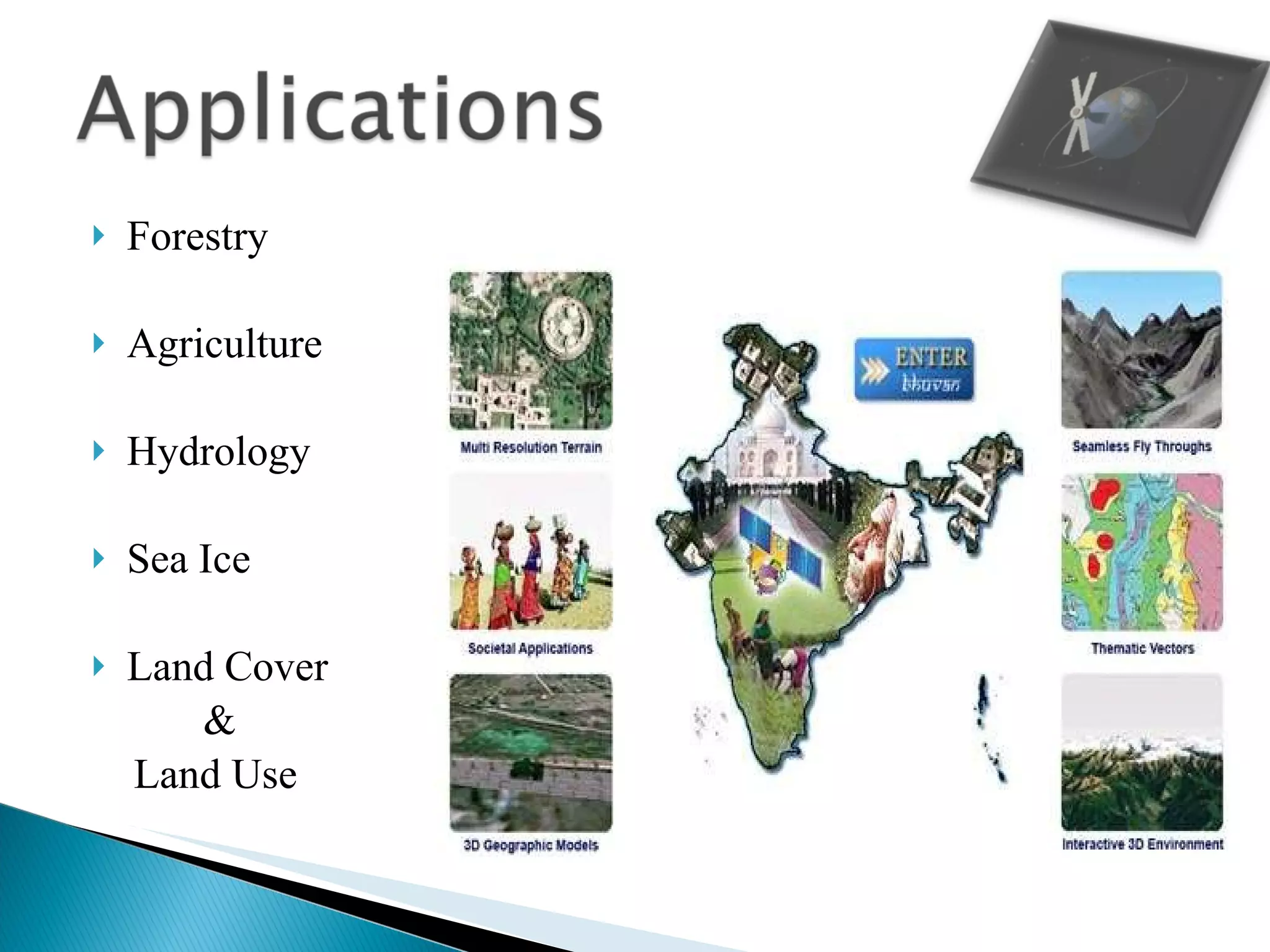
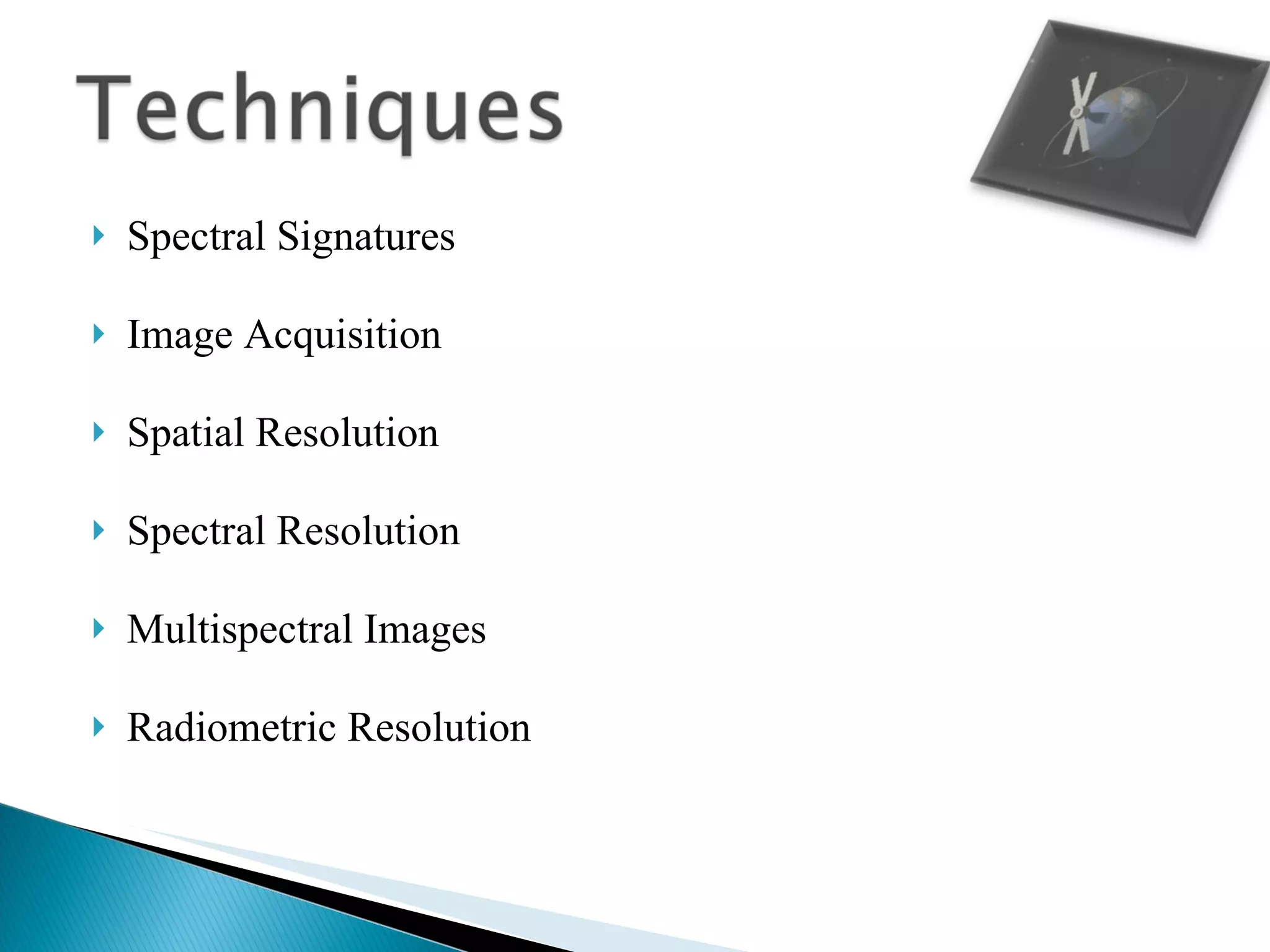
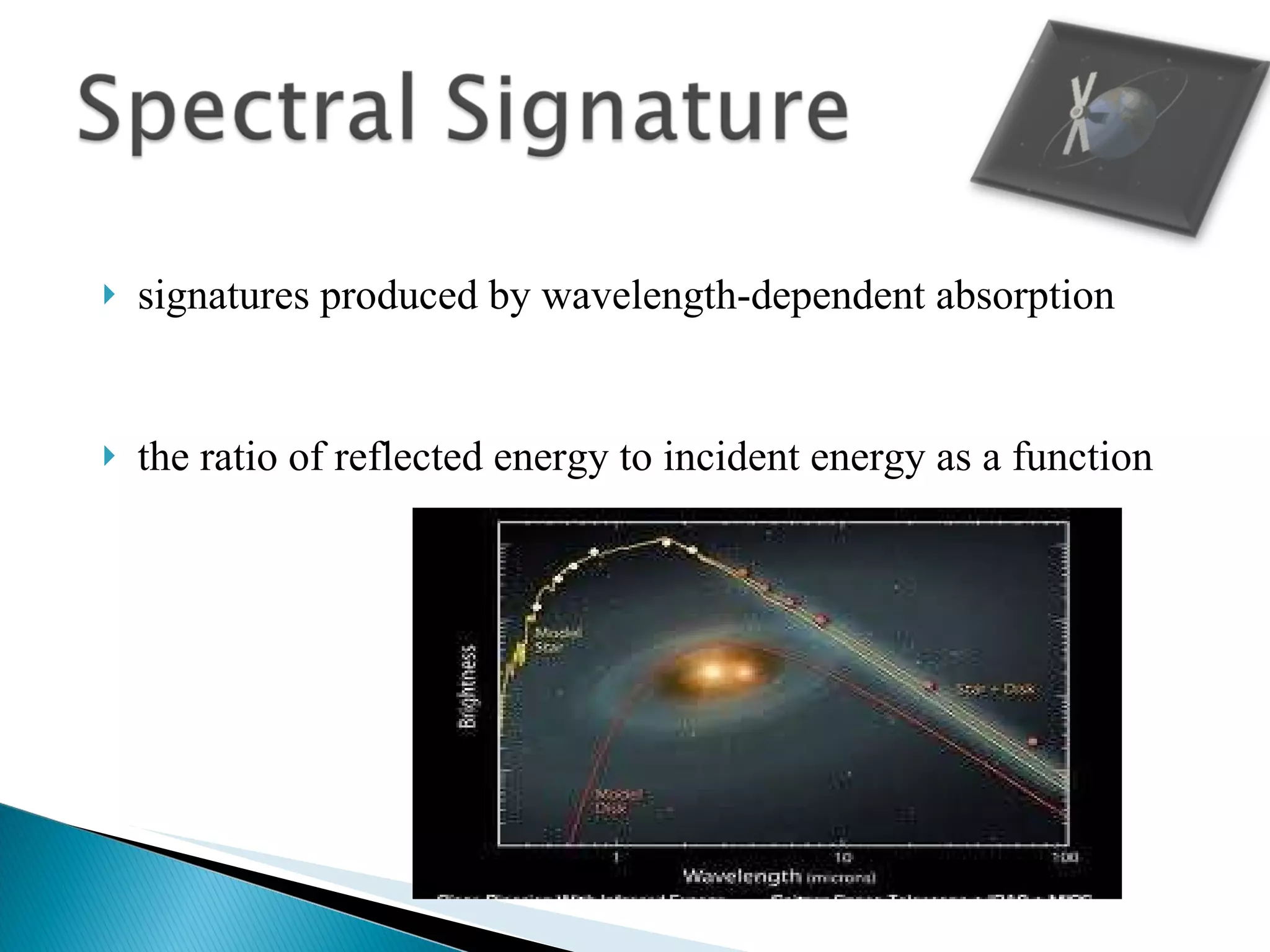
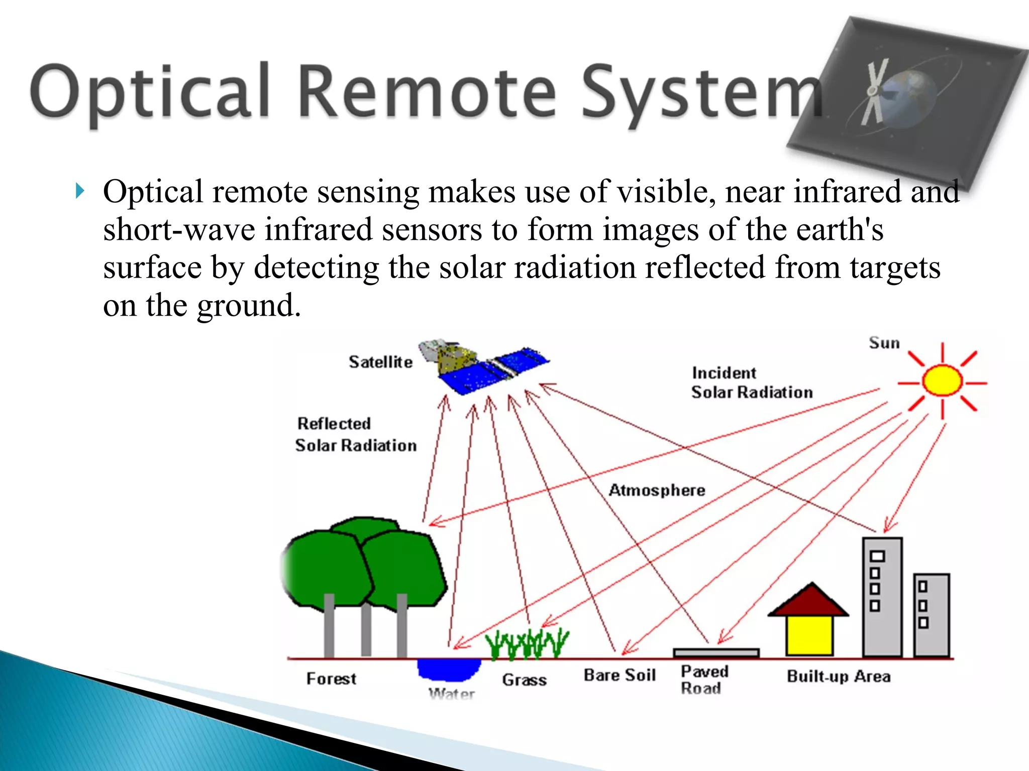
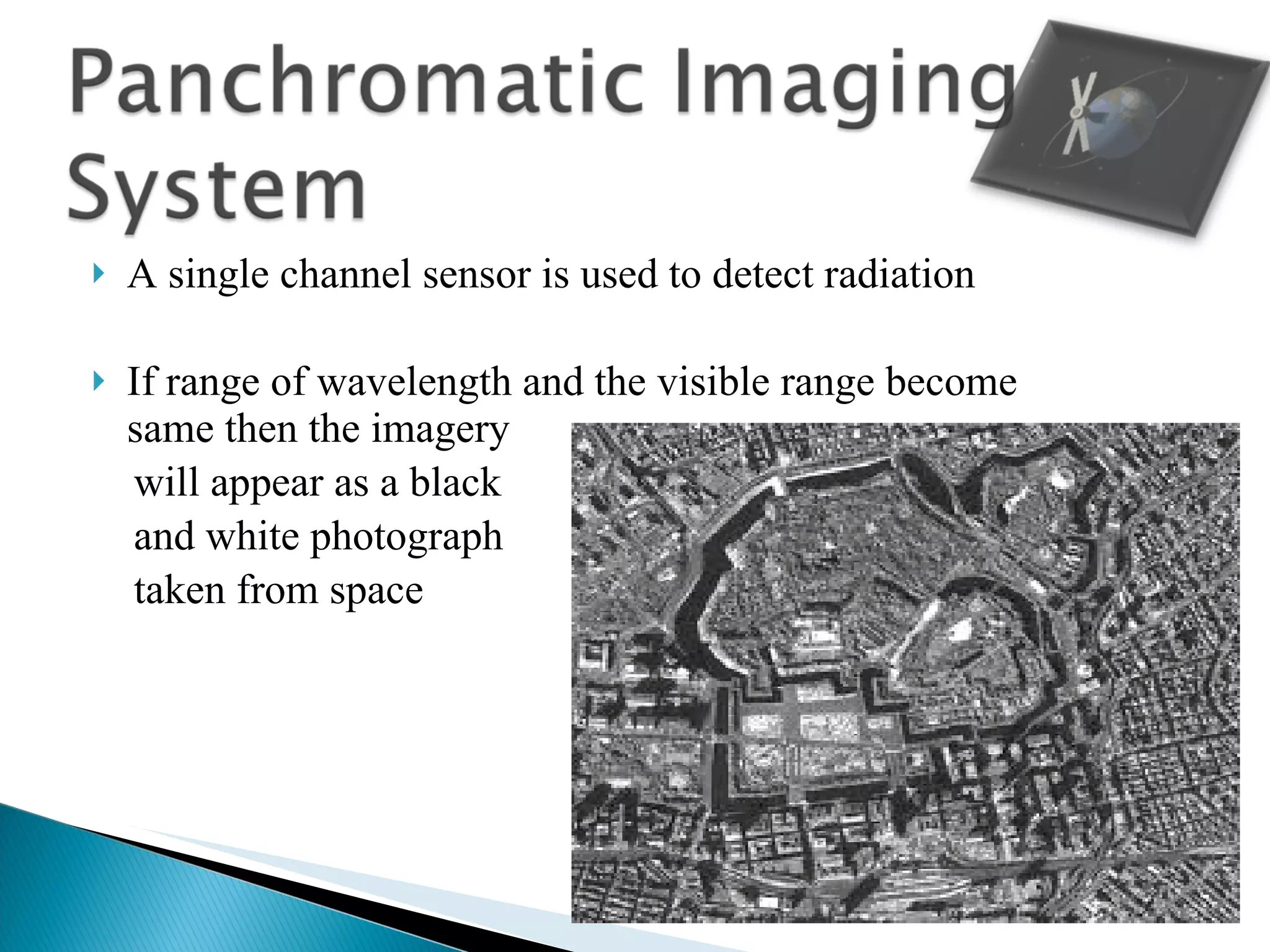
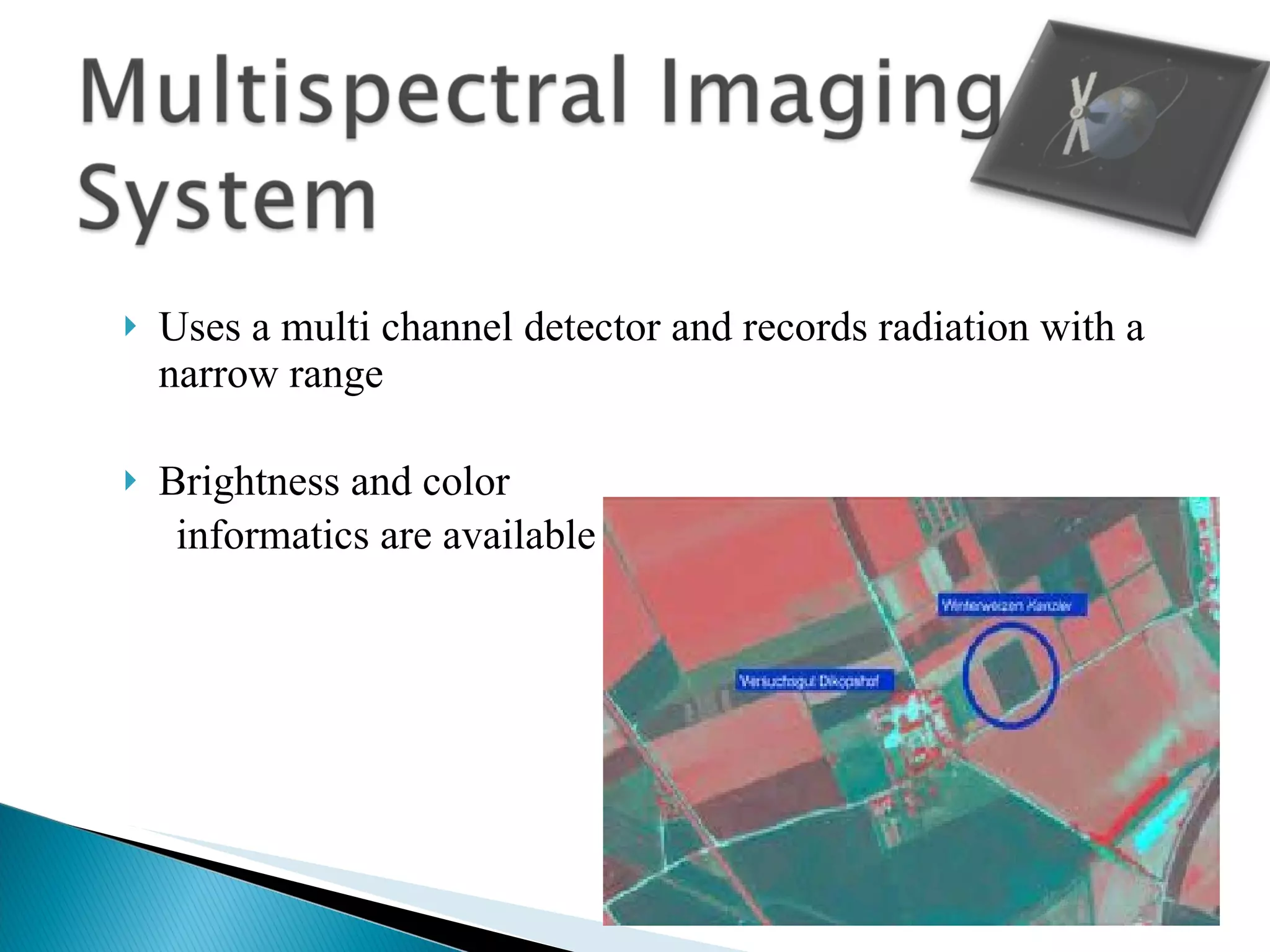
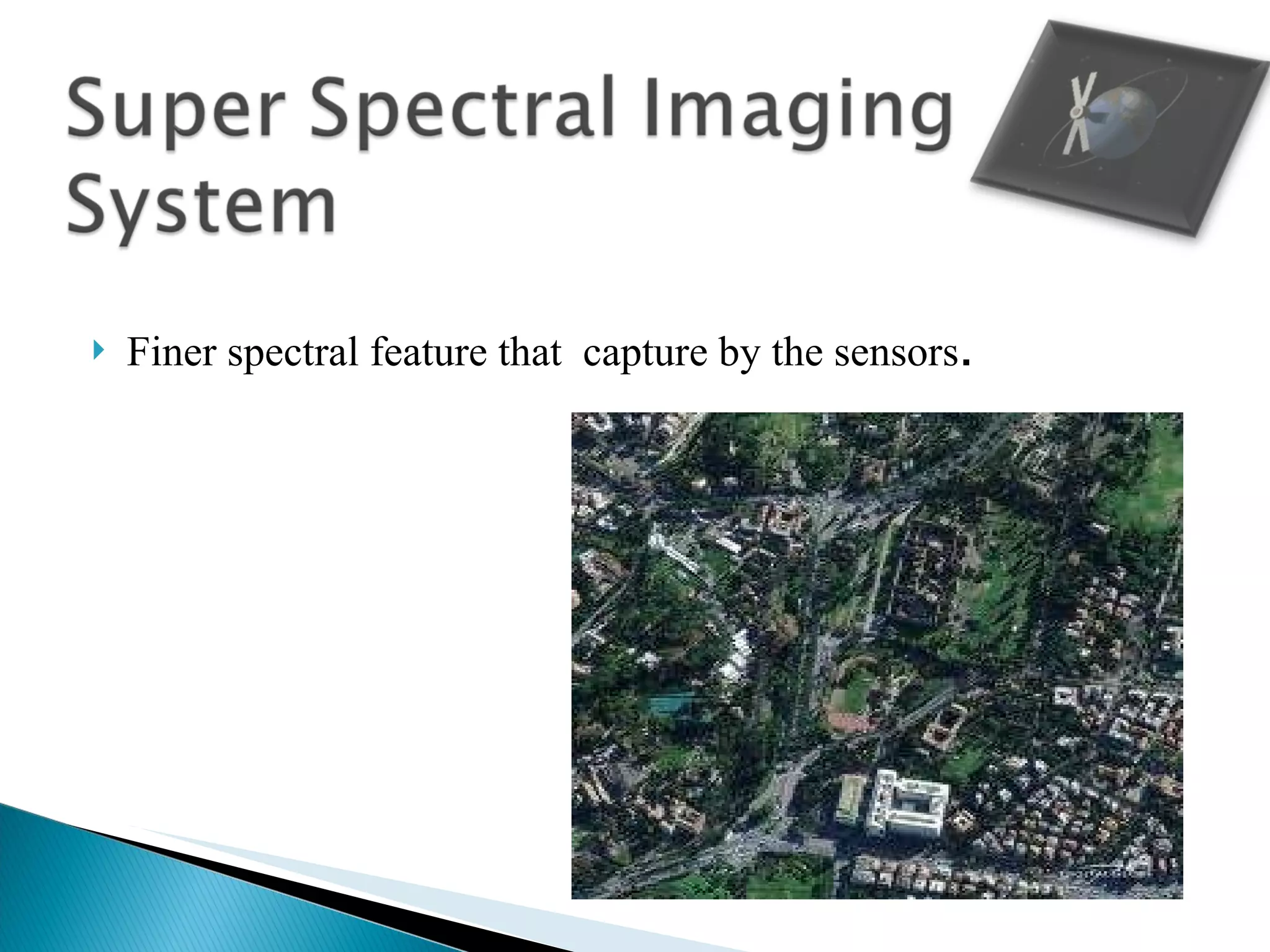
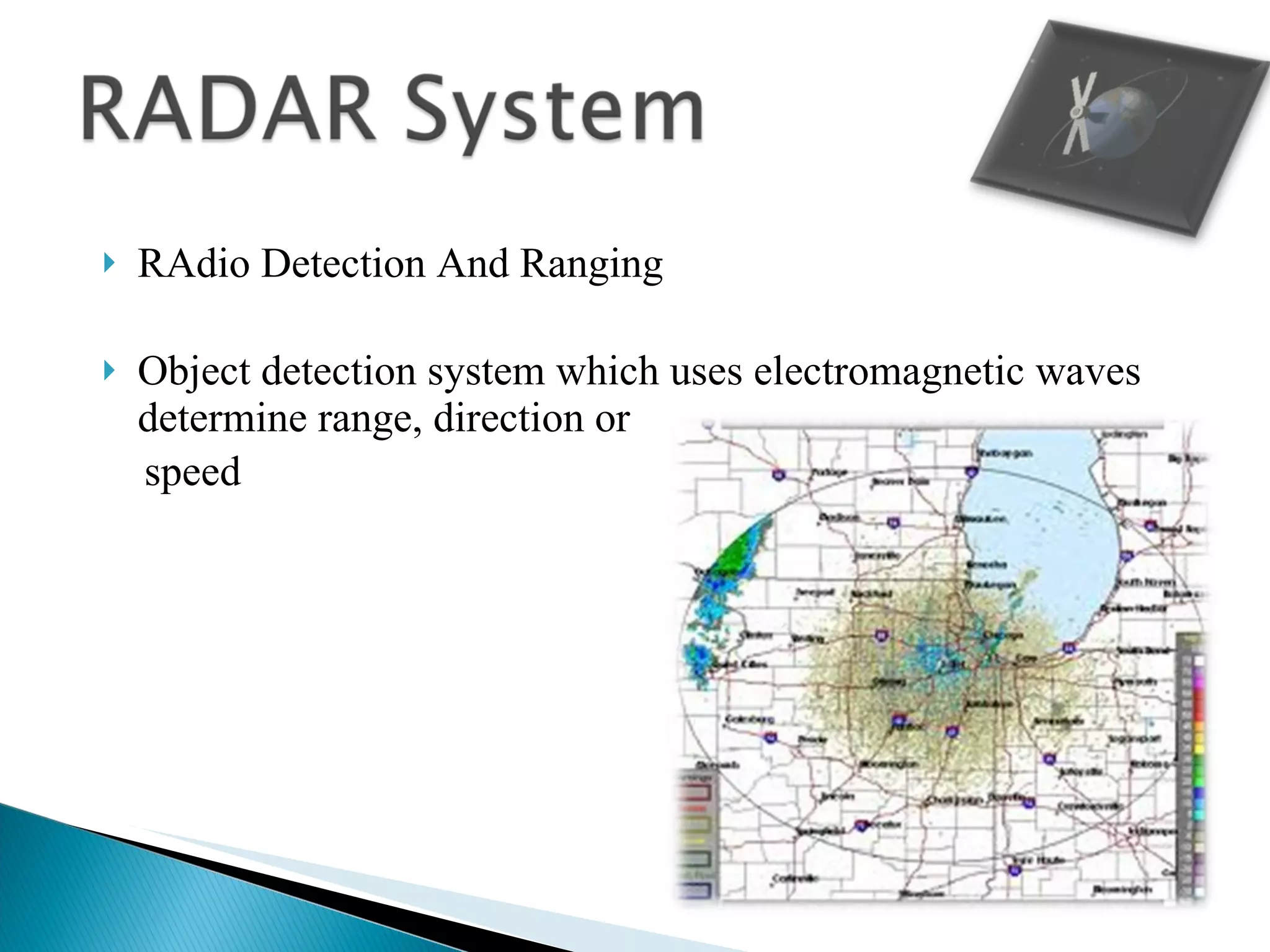
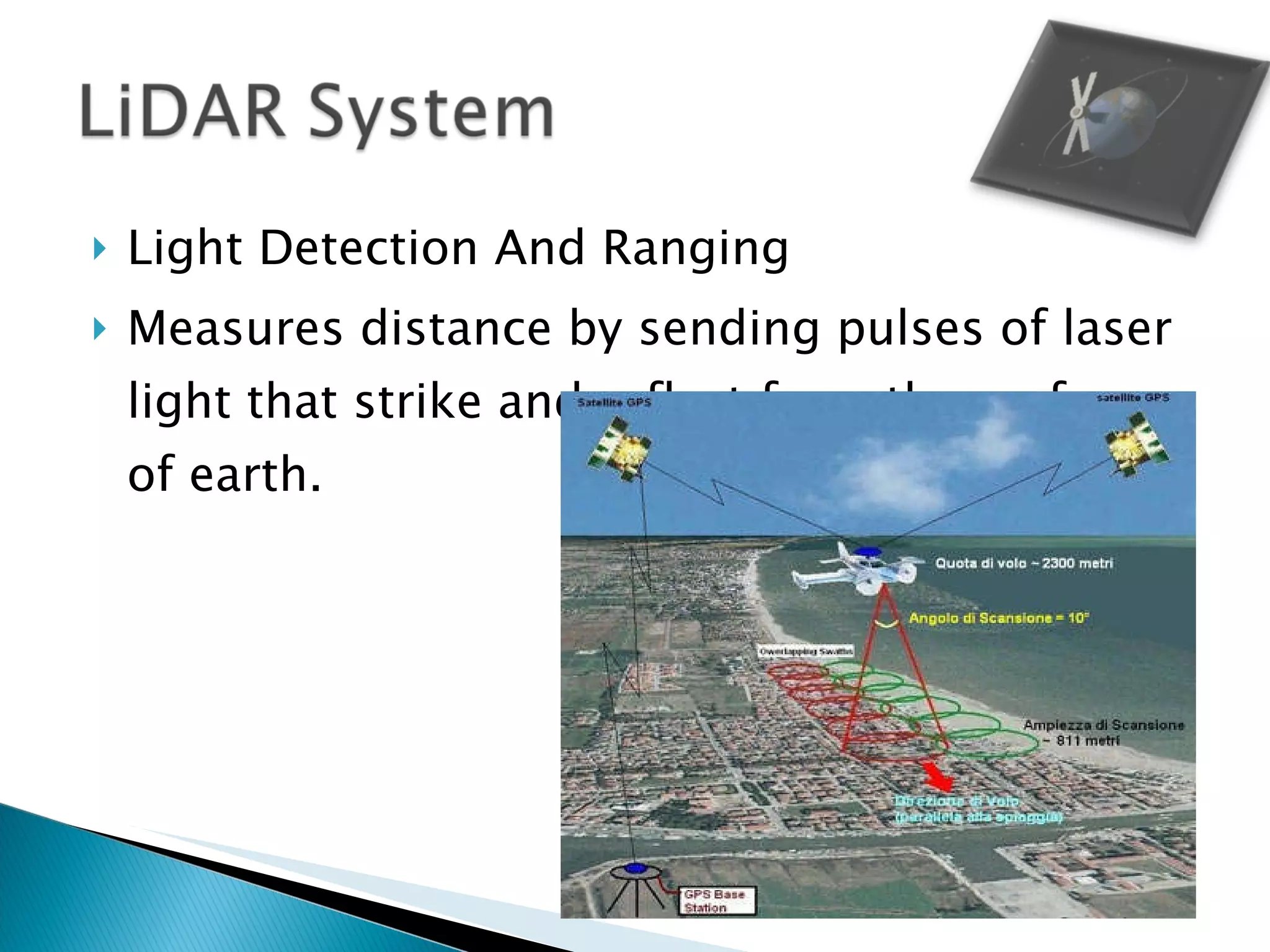
Presented by BCA-3A (Kreatipedia )
The gathering of information from an object or surface without direct contact.
Lithosphere  Biosphere Remote Sensor Reflecting surfaces
1858 Balloonist G.Tournachon made photographs  of  paris from his balloon. Systematic aerial photography developed for military and reconnaissance purposes beginning in World War I and reaching a climax during the Cold War  Artificial satellites in the latter half of the 20th century
Passive Remote Sensing Photography Radiometers  Infrared  Active Remote Sensing RADAR LiDAR
Geology Environmental monitoring Commercial forestry Reconnaissance mapping
Forestry Agriculture Hydrology Sea Ice Land Cover  &  Land Use
 
Spectral Signatures Image Acquisition Spatial Resolution Spectral Resolution Multispectral Images Radiometric Resolution
signatures produced by wavelength-dependent absorption the ratio of reflected energy to incident energy as a function
radiant energy that is measured by an aerial or satellite sensor electromagnetic energy returned from the Earth’s surface can be detected by a light-sensitive film
a function of the design of the sensor detectors in a remote sensor measures energy received from a finite patch of the ground  surface
Parallel sensor arrays detecting radiation in a small number of broad wavelength bands allow discrimination of different types of : vegetation,  rocks and soils,  clear and turbid water, and  some man-made materials
Quantized incoming energy analyze the numerical values in the bands of a multispectral image
High Resolutions  Low Resolution
Optical System Panchromatic imaging system Multispectral imaging system Super spectral Imaging System Hyper spectral Imaging System RADAR System LiDAR System
Optical remote sensing makes use of visible, near infrared and short-wave infrared sensors to form images of the earth's surface by detecting the solar radiation reflected from targets on the ground.
A single channel sensor is used to detect radiation If range of wavelength and the visible range become same then the imagery  will appear as a black  and white photograph  taken from space
Uses a multi channel detector and records radiation with a narrow range Brightness and color  informatics are available
Finer spectral feature that  capture by the sensors .
RAdio Detection And Ranging Object detection system which uses electromagnetic waves determine range, direction or speed
Detect the presence of an object at a distance Detect the speed of an object Map something Echo  Doppler Shift
Light Detection And Ranging Measures distance by sending pulses of laser light that strike and reflect from the surface of earth.
http://www.howstuffworks.com/radar.htm http://www.google.co.in/#sclient=psy-ab&hl=en&source=hp&q=radiometric+resolution+of+remote+sennsing&psj=1&oq=radiometric+resolution+of+remote+sennsing&aq=f&aqi=&aql=&gs_sm=e&gs_upl=550721l558445l1l558664l24l23l1l0l0l18l900l12399l4-10.9.3l22l0&bav=on.2,or.r_gc.r_pw.&fp=4df500c34198b13e&biw=1280&bih=869 http://www.crisp.nus.edu.sg/~research/tutorial/image.htm http://www.google.co.in/search?tbm=isch&hl=en&source=hp&biw=1280&bih=869&q=Active+remote+sensing&gbv=2&oq=Active+remote+sensing&aq=f&aqi=g1&aql=&gs_sm=e&gs_upl=9704l15125l0l15442l21l18l0l8l8l0l770l2764l5-2.2l4l0#hl=en&gbv=2&tbm=isch&sa=1&q=spatial+resolution+in+remote+sensing&oq=spatial+resolution+in+remote+sensing&aq=f&aqi=&aql=&gs_sm=e&gs_upl=75737l79409l6l79639l18l13l0l0l0l8l900l4886l4-1.6.1l8l0&bav=on.2,or.r_gc.r_pw.&fp=37c75e80de715eb4&biw=1280&bih=869
 

Ppt on remote sensing system