Download to read offline

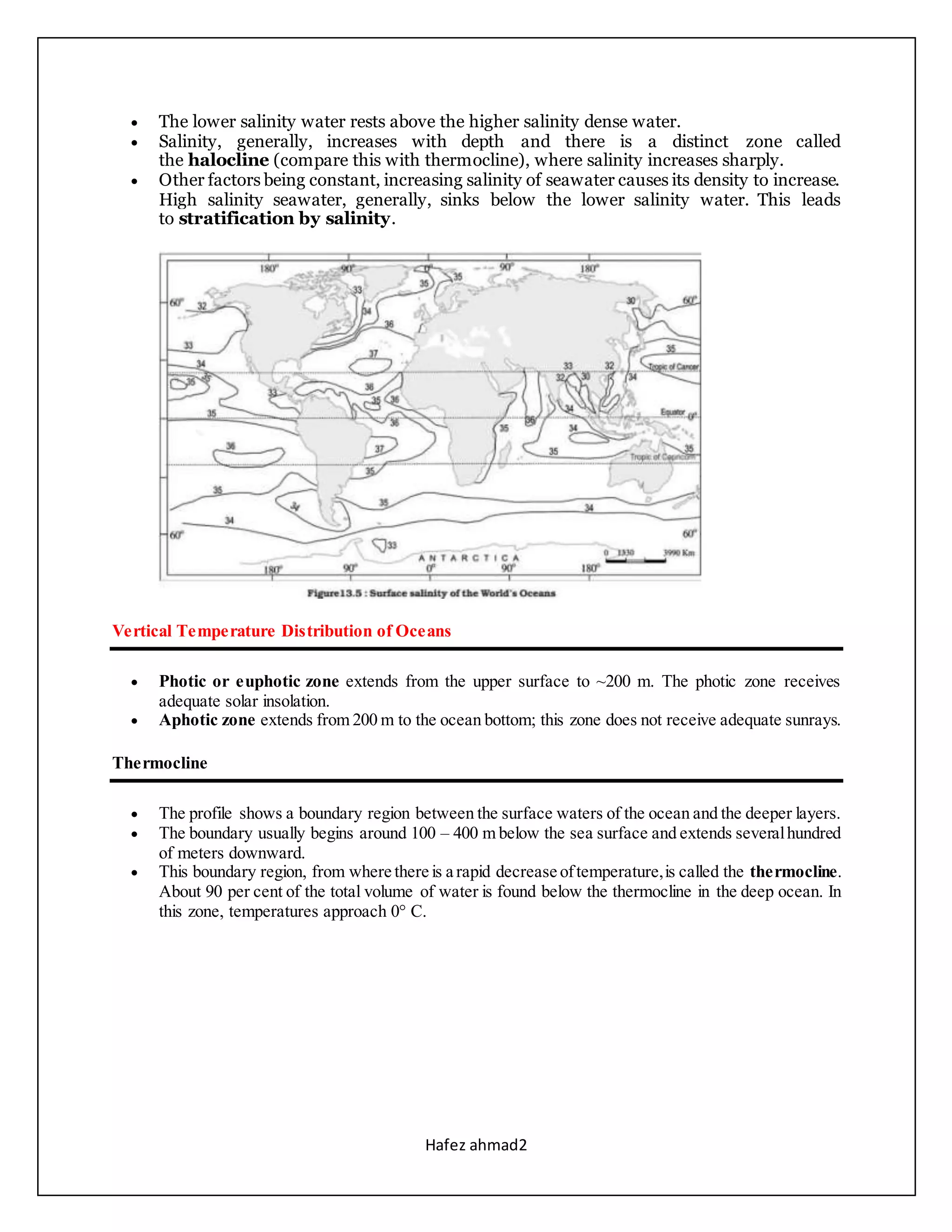


Salinity varies horizontally and vertically in the oceans. Horizontally, salinity is lower near the equator due to high rainfall, and higher in mid-latitudes due to high evaporation. Vertically, salinity increases with depth due to lack of input from rivers or rainfall, forming a halocline zone of rapid salinity change. Temperature also varies horizontally, decreasing from the equator to poles at around 0.5°C per latitude. Vertically, oceans have a three-layer system, with a warm mixed layer in top 500m, a thermocline of rapid temperature decrease from 500-1000m, and a cold bottom layer.


